FATMAP is Shutting Down. Meet onX Backcountry, Your New Map App
The outdoor community is constantly evolving, and the tools we use for planning and navigation must do the same. As FATMAP has shut down their app and web map, we understand that many of you are faced with the tough decision of replacing a trusted resource. As avid skiers, backpackers, hikers, climbers, and mountain bikers, we at onX Backcountry have built the best planning and navigation tool for human powered adventurers in the US. We are confident that switching to onX Backcountry will provide a seamless transition to your new trusted mapping tool.
Try onX Backcountry Today
Try out our App with an extended free trial for 30 days or get 70% off your first year of Premium or Elite access (as low as $9 for the first year.
Your All in One GPS Mapping App

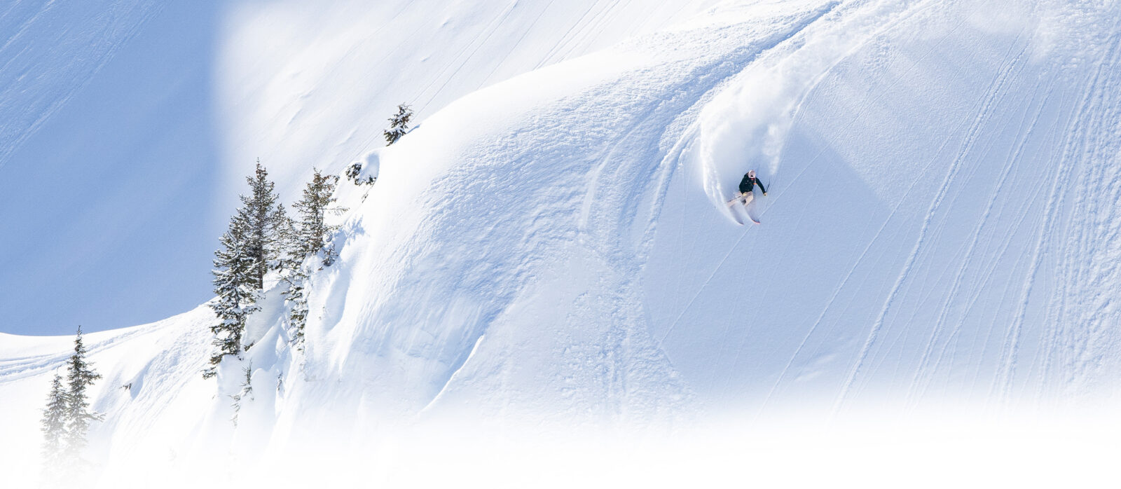
The onX Backcountry App is the ultimate tool for your next adventure. No matter how you’re exploring the outdoors — whether it’s skiing down a snowy mountain, escaping to the desert for mountain biking, searching for climbing routes, or planning a backpacking trip — use onX Backcountry to find routes, navigate terrain, save maps, find public land, and access thousands of recreation points all year long.
Detailed 3D Maps
Understanding the landscape is crucial in avalanche territory, and onX Backcountry’s 3D Maps are an essential tool for planning your routes with precision. When you can visualize slope angles, elevation changes, and potential avalanche paths, you can identify safe routes and avoid hazardous areas.

Curated Guidebook Content
With more than 3,300 professional guidebook ski routes across 35 mountain regions, onX Backcountry gives you the information you need to get out and explore. These guidebooks are written by local expert guides and authors who know the terrain and offer detailed route descriptions, essential safety information, and expert tips. Whether you’re exploring new terrain or finding new lines on your home turf, we have you covered.

Slope Angle
The Slope Angle layer in mapping tools displays the steepness of terrain, helping users assess how steep a slope is. It’s especially useful for backcountry skiers and mountaineers to evaluate avalanche risks and route difficulty.
Avalanche Layers
Identifying avalanche-prone areas and making informed decisions is critical, and the Backcountry App’s Avalanche Safety Layers put the information in your hands. From the Avalanche Terrain Exposure Scale (ATES) Layer which categorizes terrain based on risk, to the Avalanche Potential Release Area (PRA) Layer which pinpoints zones with a high likelihood of release. Combine the two to stay safe and explore with confidence.
Know Where You Stand
Seeing public and private land boundaries is easy with onX Backcountry. Ensure you’re on the right side of the line at all times, particularly when exploring new areas. Whether you’re planning a tour in a National Forest, on BLM land, in Wilderness Areas, or anywhere else, the onX Backcountry App allows you to know exactly where you stand.

Offline Maps
Before you head out, quickly download your maps to your phone so you always have access—even when cell service is miles behind. All of your Markups and critical map information are retained in Offline Mode, providing peace of mind and reliable navigation in the backcountry.
Our Commitment to Community
Designed for and by backcountry adventures, onX Backcountry works closely with avalanche forecasters, educators, mountain guides, and guidebook authors to help you plan safer tours. These partnerships allow us to build the features for users of all skill levels, and incorporating guidebook content provides expertly curated routes and safety tips to enhance your planning and decision making. onX Backcountry is much more than just a navigation tool. It’s a comprehensive resource that supports safe and informed exploration in avalanche-prone terrain.
How To Make The Switch
- Create an onX Backcountry Account – Try out our App with an extended free trial for 30 days, or get 70% off your first year of Premium or Elite access (as low as $9 for the first year!).
- Check Out All The Great Features In The App – Start playing around with the app. We have thousands of guidebook ski lines, and hundreds of thousands of summer trails to explore. Plan your next adventure and use onX Backcountry to navigate while you’re out there!
- Export Your Data From FATMAP – Do you have lines, tracks, and waypoints that you built out in FATMAP and you don’t want to lose access to? Export your data from FATMAP using their export tool here, and bring that data into onX Backcountry: https://fatmap.com/my-data/en/tool
- Import Your Data To onX Backcountry – Importing your GPX and KML files over to onX Backcountry is easy. Navigate to the “Import” button in the App and start loading your files into onX Backcountry. You can re-name these files, organize them into folders, customize their styling on the map, and more. Learn More Here.
- Master The App – Want to take your mapping game to the next level? Take advantage of Masterclasses, our live video sessions that cover everything from basic navigation to advanced route planning. If you prefer to learn at your own pace, our library of educational videos provides step-by-step tutorials on using the App’s most powerful tools.
Stay Connected and Share Your Feedback
We value your experience, and we’re here to support you. If you have any questions, concerns, or suggestions on how we can improve, don’t hesitate to reach out. Your feedback is critical as we continually work to improve and deliver the best possible experience for you. Let us know what you think, and together, we can make onX Backcountry the ultimate tool for all your outdoor adventures.
Email us at support@onxmaps.com or call us, our phone number is (406) 540-1600 and our typical office hours are (Mountain time zone):
M: 9:00 AM – 4:00 PM
T: 9:00 AM – 4:00 PM
W: 9:00 AM – 4:00 PM
Th: 9:00 AM – 12:00 PM and 1:30 PM – 4:00 PM
F: 9:00 AM – 4:00 PM
We’re excited to hear from you.
What People Are Saying About onX Backcountry
Great features
After years of using Fat Map and the Strava unpleasantness, I switched to OnX. The transition was easy, and in just a few minutes I was able to import all of my tracks. I’m quite impressed with the features and u…
Read more
After years of using Fat Map and the Strava unpleasantness, I switched to OnX. The transition was easy, and in just a few minutes I was able to import all of my tracks. I’m quite impressed with the features and usability.
This ski season should be awesome, thanks OnX!
Better than Fatmaps
Used to use Fatmaps, but Strava killed it. Was bummed till I found this. Even better!
Used to use Fatmaps, but Strava killed it. Was bummed till I found this. Even better!
Fatmap got bought out by strava, found my new and improved replacement
Fatmap got bought out by strava, found my new and improved replacement