Comstock Couloir, Rogers Pass BC
In year five of Cody Townsend’s “The Fifty Project,” we’re showcasing his lines and route descriptions in onX Backcountry. Go deeper on The Fifty Project and get the beta from Cody on how he plans, executes, and, accomplishes these fifty descents.
Go Behind The Line with “Mapping The Fifty”
Go Behind The Line with “Mapping The Fifty”
Mapping The Fifty: Comstock Couloir
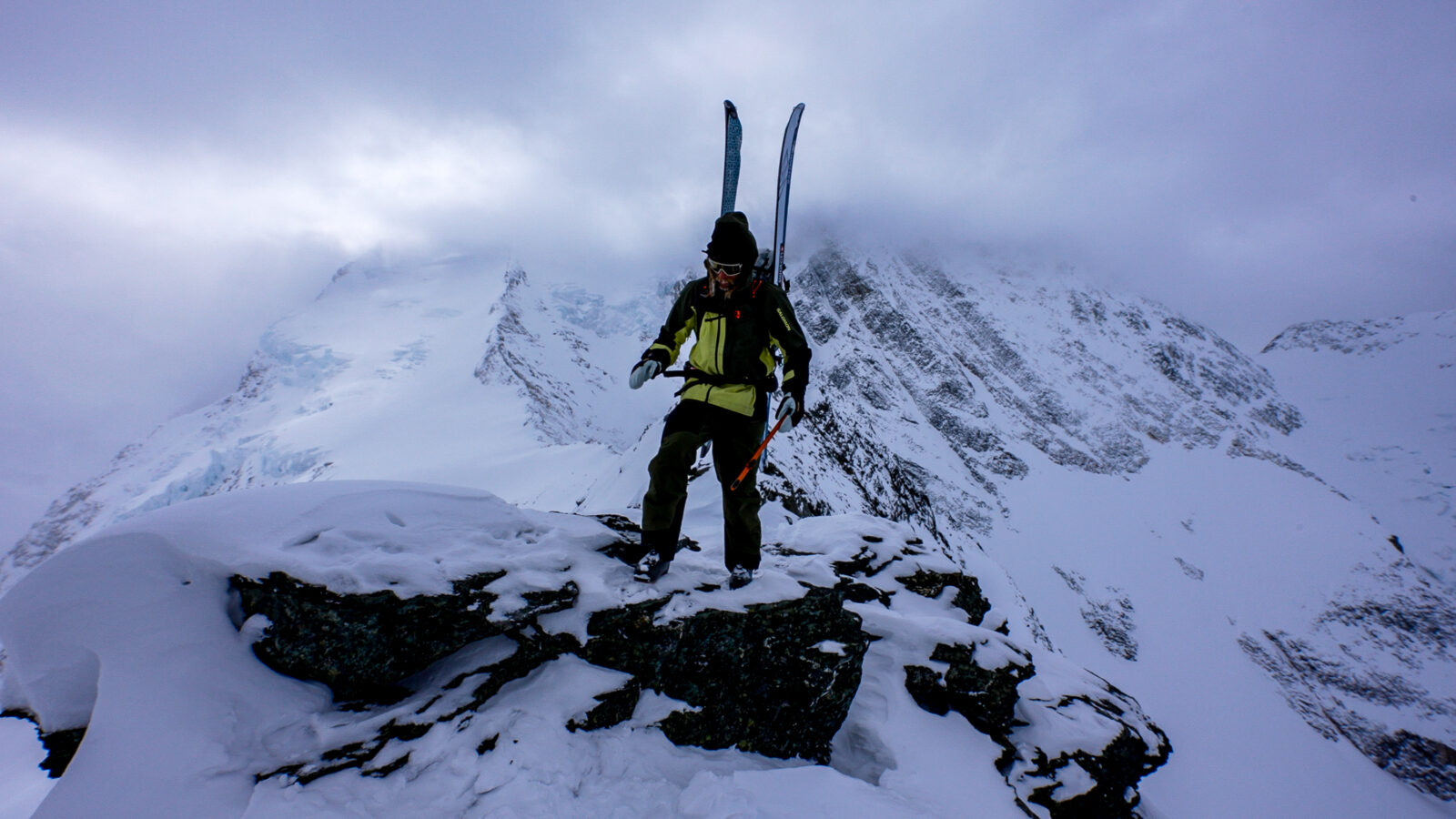
The Fifty Project: Comstock Couloir Round 2

The Fifty Project: Comstock Couloir Round 1
View Cody’s Line in onX Backcountry
Below is an interactive map of Cody’s line from the Comstock Couloir episode of The Fifty Project. Use Control + Drag to rotate in 3D on desktop or two fingers to pinch, zoom, and rotate on mobile. Login or create an account to gain full functionality.
The Fifty Project Guidebook: Comstock Couloir
onX Backcountry has partnered with Cody Townsend to bring you guidebook quality descriptions of routes in The Fifty Project from Cody himself. Read his beta on the Comstock Couloir below. Start your free trial of onX Backcountry today to view these lines and descriptions in the App.
Overview
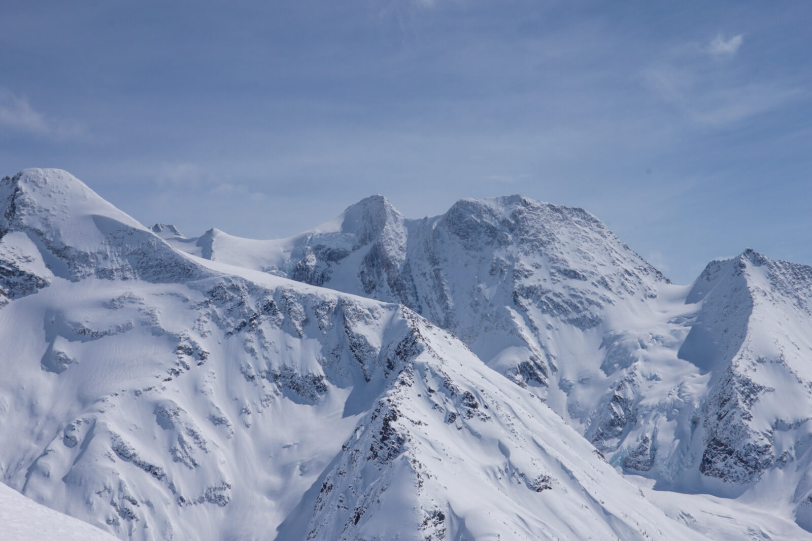
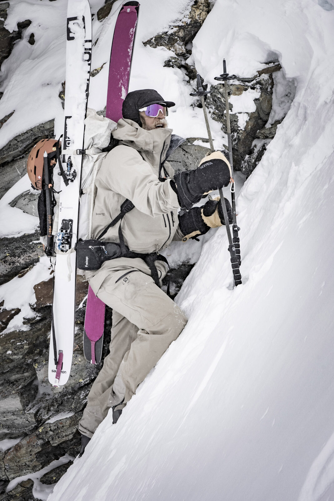
Deep, complex, and steep. That’s the name of the game for Comstock Couloir. While Rogers Pass offers a bounty of lines within a day’s walk of the highway, if you go a little deeper, an endless amount of rarely seen or skied terrain lies just beyond. The Comstock Couloir isn’t heavily sought after because of its distance from the road, but it represents the full gamut of ski mountaineering techniques like walking a long distance with a heavy overnight bag, mapping multiple slope aspects and elevations bands, glacial travel, and exposure while navigating a 1,000 meter couloir under an overhanging cornice. It’s a line that needs specific snow, weather, and stability conditions to sync in order to give it a go.
This line should only be attempted by highly experienced ski mountaineers.
Photo: @the.fifty.project
Ascent Description
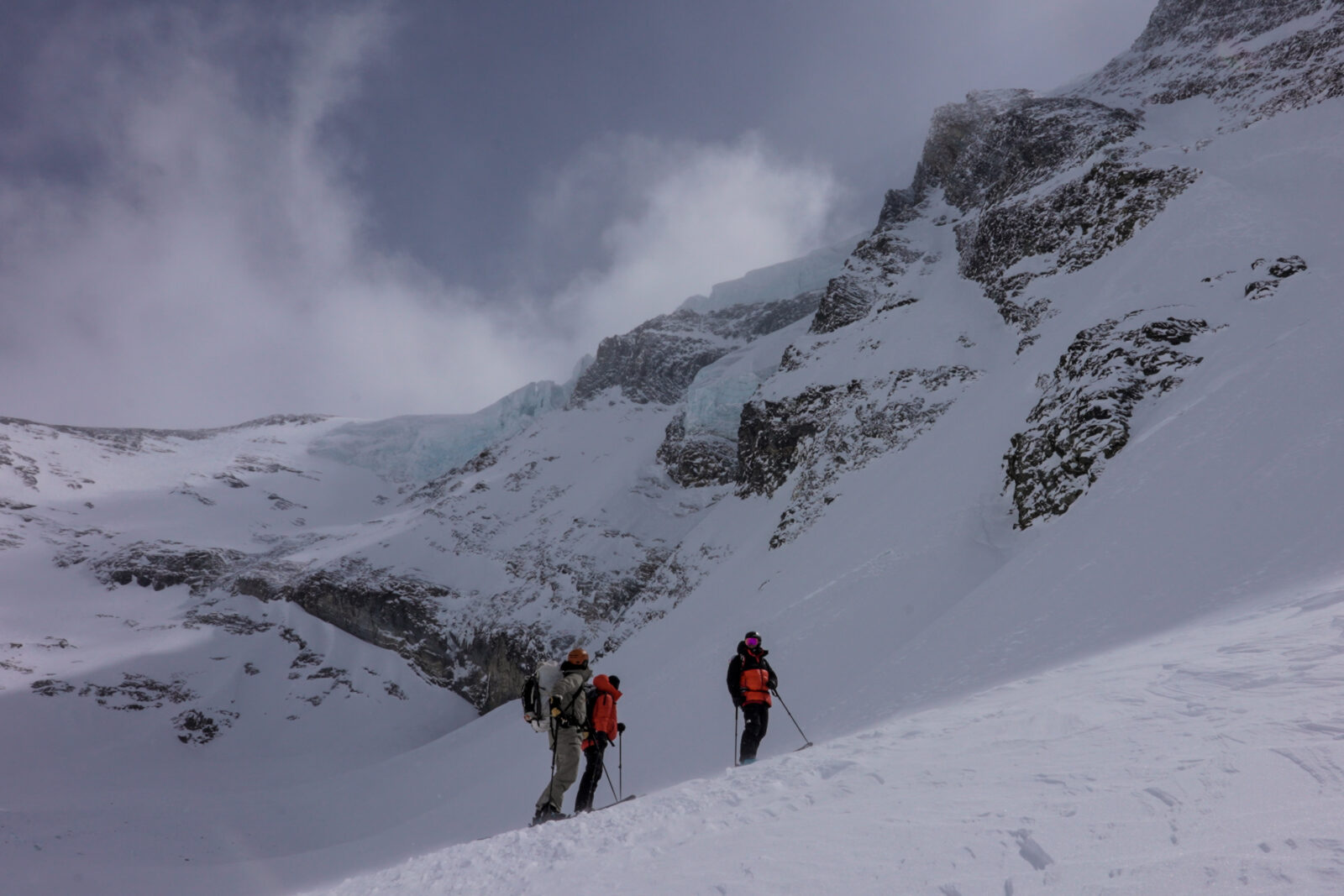
The trail starts at the infamous Illecillewaet Glacier trailhead on Roger’s Pass and winds along the decommissioned railway path before getting into the Asulkan Valley. Passing by the notable Asulkan hut, you walk about five miles and over 5,000 vertical feet to get to Asulkan Pass. From there, the views of the Comstock Couloir are impressive and intimidating. It’s important to not get ahead of yourself, the next crux is below you, the South Face of Asulkan pass. Getting down it must be done cautiously and with the right timing as avalanches litter the face and a sudden warming can lead to tragedy. Once at the bottom of the valley, you ascend up the narrow avalanche gully, on the edge of old moraines into the basin of Mt. Dawnson. If planning for an overnight, the safest spot is in the trees before ascending the glacier. The route up to the Comstock has two options, to go around from the north side, up to Twisted Rock and the summit of Dawson from the north or booting straight up the couloir itself. The much safer option is skiing the Comstock top down as an ascent of the Comstock Couloir itself presents extreme danger with a massive overhanging cornice that bakes in the sun all day and would be immediately fatal if anything were to dislodge. Climbing the couloir itself must be done on only the safest of days, and even then you’re taking a dice roll with your life.
Photo: @BjarneSalen
The Descent
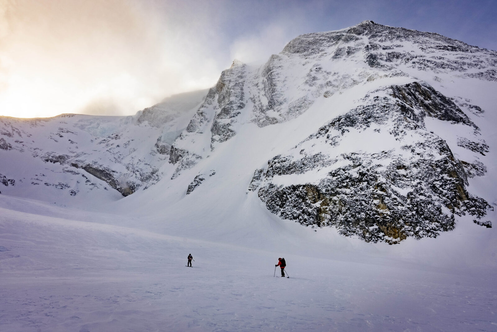
The couloir requires a big snow year to fill in properly, and is a 45-50 degree ski down. Rocky conditions, thin snow, and blue ice can be present on the 1,000 meter descent. Its best to move quickly in the morning as the cornice hanging over your head the will be warming and more prone to break throughout the day.
Photo: @the.fifty.project
Hazards
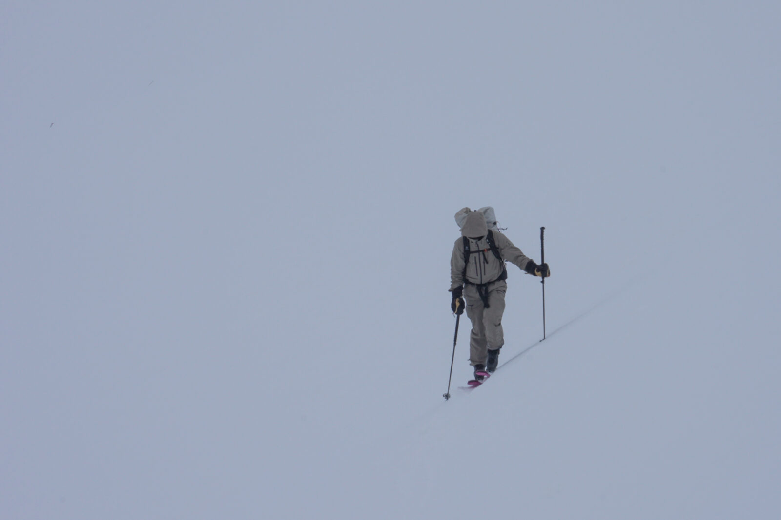
Cornices, glacier travel, a variety of slope aspects and elevations must be factored as well as fall-you-die ski terrain. There is serious exposure, hidden crevasses, and navigation hazards abound throughout this line.
Photo: @BjarneSalen
Exit Description
After the descent, climb back up the South Face of Asulkan Pass. Be extra cautious about this ascent as afternoon warmth creates extreme avalanche hazard. Ski down the way you walked up back to Illecillewaet Trailhead.
Photo: @the.fifty.project

Access
Parking and winter permits required to ski from the Illecillewaet Trailhead at Roger’s Pass in Glacier National Park, Canada. Overnight permits required if overnighting in the backcountry, and do not ski Roger’s Pass without them.
Photo: @the.fifty.project
Try onX Backcountry for free for 7 days.