

Save 20% on onX Backcountry
Access the most trusted backcountry mapping app, onX backcountry, with 20% off or two months free. Plan better tours with our digital guidebooks, integrated avalanche forecasts, and avalanche terrain assessment layers.

onX Backcountry x Bomb Hole
onX Backcountry is proud to partner with The Bomb Hole to offer you an exclusive deal! Get set up with a 20% discount on your first year of onX Backcountry, or enjoy a free 60-day trial to explore all our app has to offer.
Bomb Hole can claim their 20% discount by clicking the button below.
Start Your Free Trial
About onX Backcountry
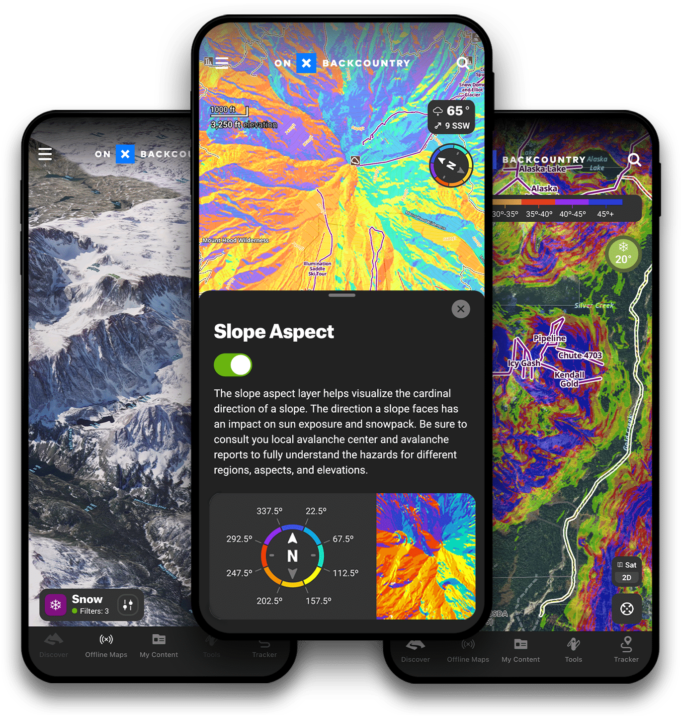
With onX Backcountry, you have a suite of tools at your fingertips to make better decisions in the backcountry. With guidebook quality route descriptions, detailed topo & 3D maps, slope angle & aspect maps, and avalanche observations and fatalities you will have all of the tools you’ll need in one app.
Winter Satellite Imagery
Winter aerial satellite imagery provides an in-depth look at what a mountain looks like with snowpack. Use this to evaluate safe zones, turnaround spots, and avalanche prone areas.

Winter Satellite Imagery
Winter aerial satellite imagery provides an in-depth look at what a mountain looks like with snowpack. Use this to evaluate safe zones, turnaround spots, and avalanche prone areas. Use satellite imagery in conjunction with our snow layers to help plan your route.
3D Maps
Visualize your objective in 3D with onX Backcountry. Explore backcountry zones in stunning detail, view waypoints, tracks, and terrain features in 3D before hitting the skin track.
Offline Maps
Offline Maps allow you to view detailed maps and your current location without the need for cell service. Download offline maps before you head out on your next tour.
Snotel
View current snow depth, temperatures, and 24 hr accumulations from Snotel sites in the backcountry to optimize your powder day.
Backcountry Ski & Splitboard Routes
View Backcountry Ski and Splitboard routes to help plan your tour. Featuring guidebook quality descriptions, onX Backcountry can help you discover new areas and objectives.