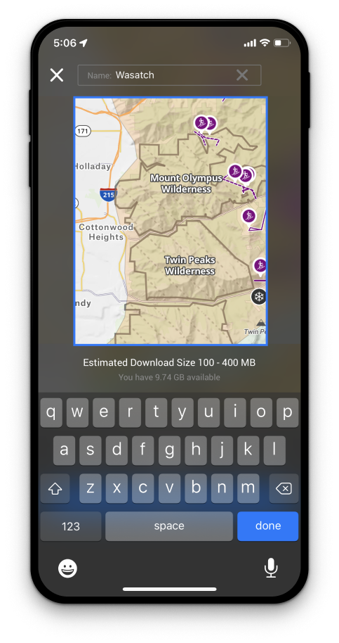
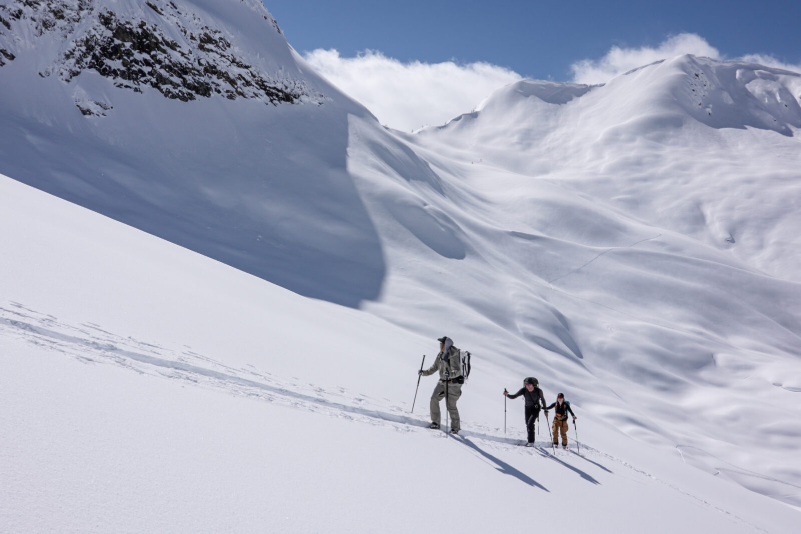
Utah Backcountry Skiing Maps
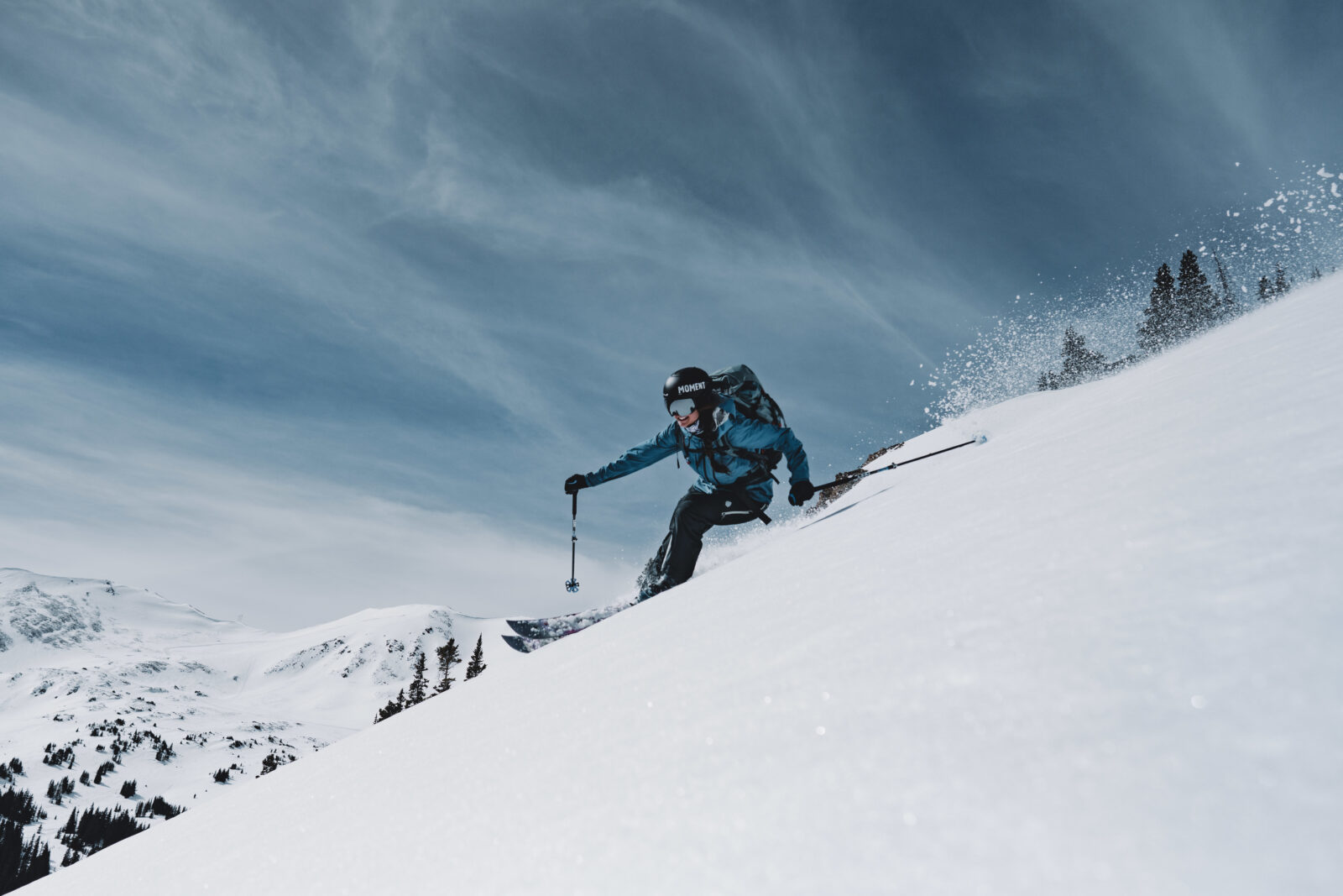
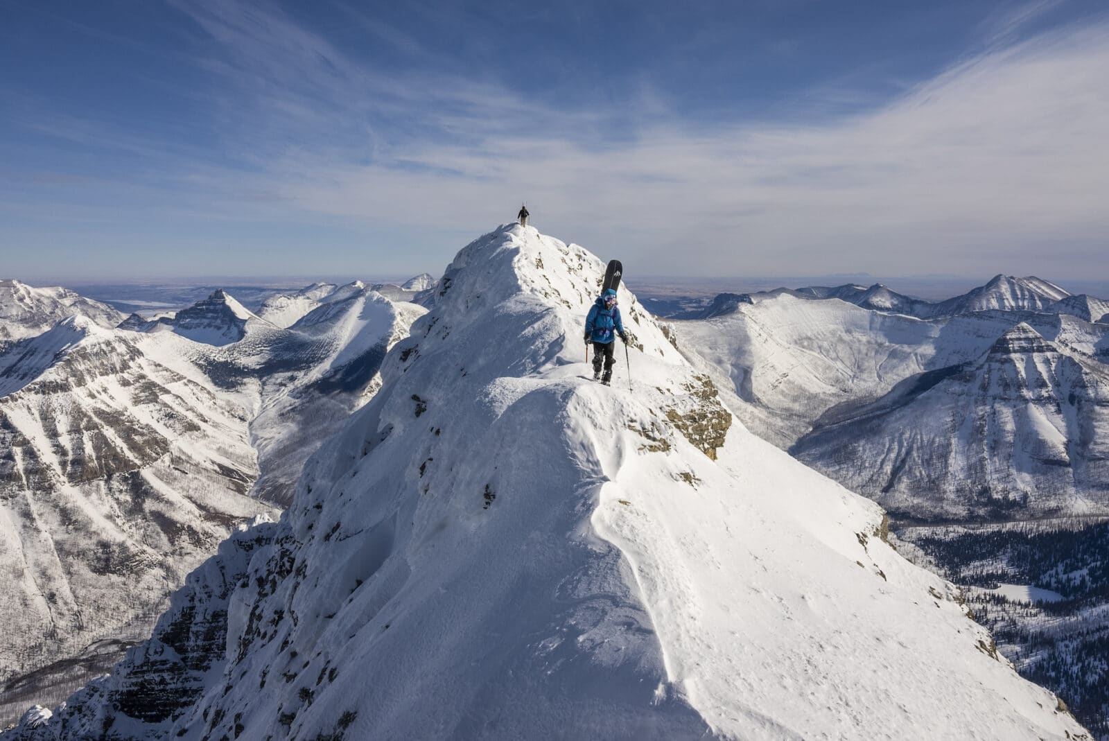
Is backcountry skiing in Utah on your winter to-do list? The onX Backcountry App includes ski maps, route descriptions, ratings, and more, including popular backcountry ski destinations such as the Wasatch Mountains, Salt Lake City, and Park City.
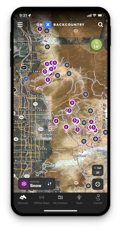
Backcountry Ski Maps & Route Descriptions
With detailed, guidebook-quality route descriptions, elevation profiles, and the ability to view Utah landscapes in 3D, satellite, topographic maps, or our Hybrid Basemap, identify your next backcountry skiing adventure with ease.
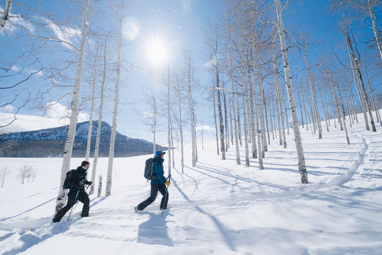
No Service? No Problem.
With onX Backcountry, you can access saved maps from anywhere. Save maps in your App before your next ski trip, so you can locate yourself in the wild. The GPS in your mobile device works perfectly offline, even when the network is nonexistent, so you can safely find your way back.
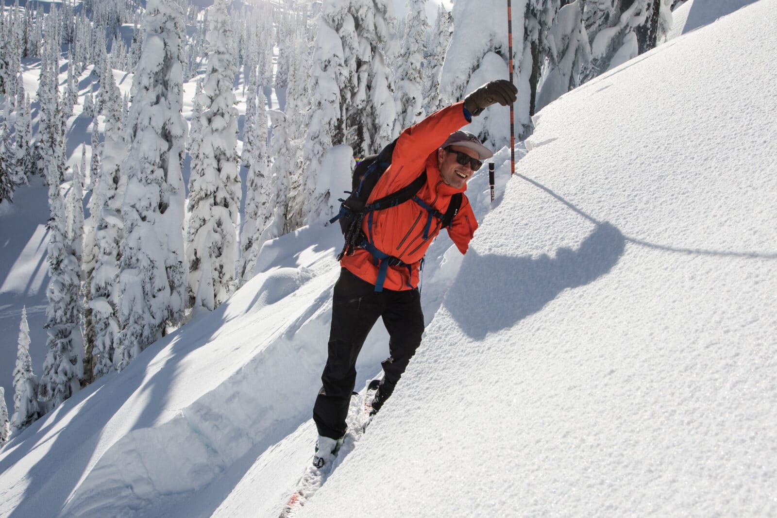

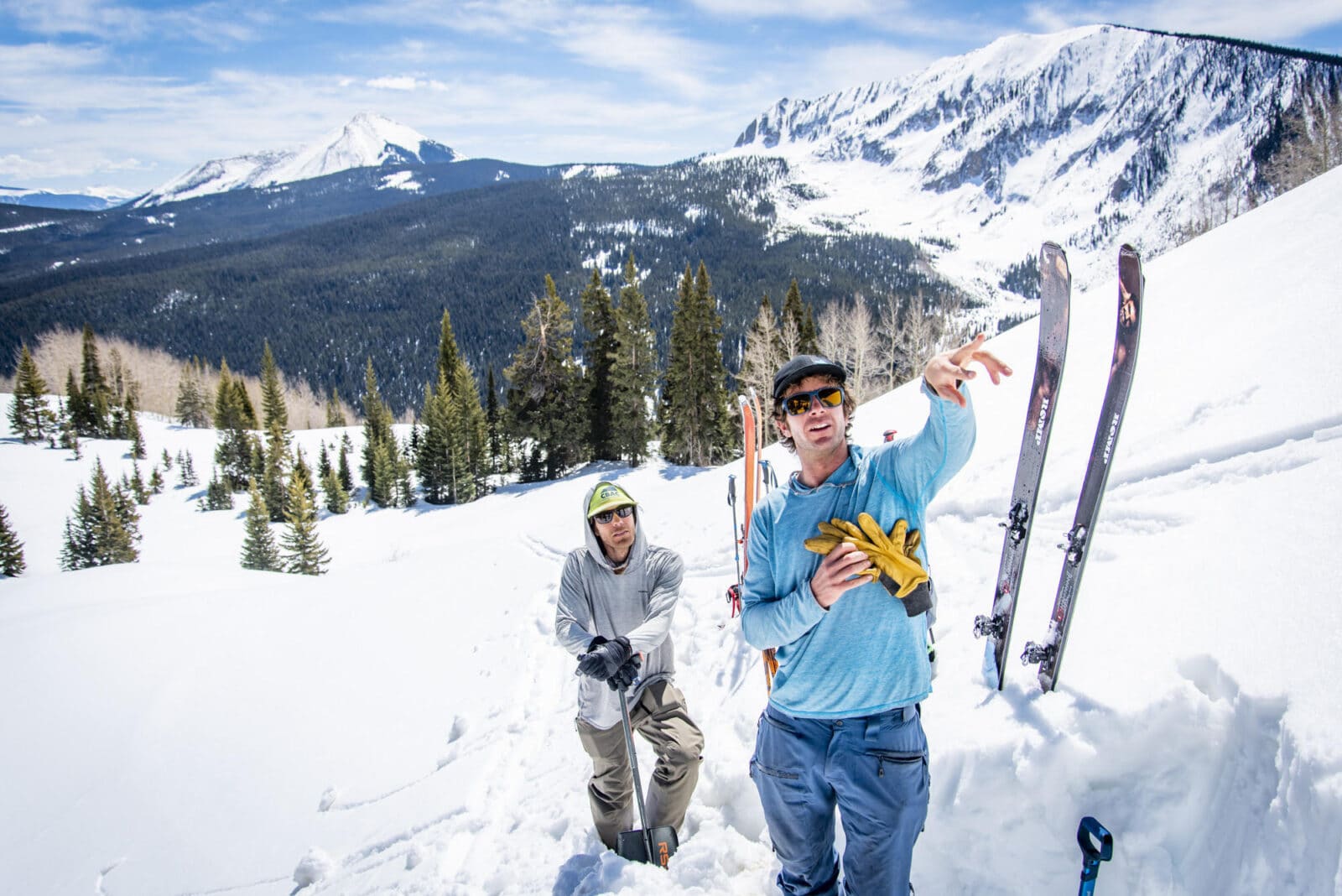
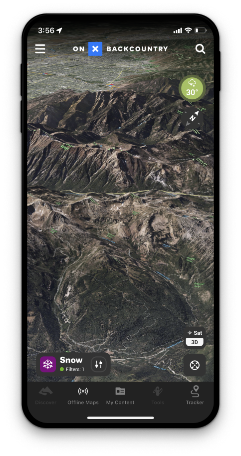
View Avalanche Forecasts and Snow Conditions
Be prepared before you head out on your next backcountry skiing adventure. View Avalanche Forecasts directly from the Utah Avalanche Center and live Snow Conditions from local SNOTEL stations. Read the full reports and observations, to make safer, more informed decisions with onX Backcountry.
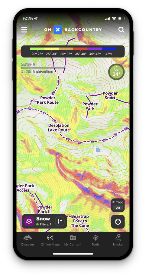
Analyze Slope Aspect & Slope Angle
Determine the cardinal direction of the terrain you’ll be riding with onX Backcountry’s Slope Aspect Layer. Use a color-coded compass to evaluate which slopes will experience more sun exposure and wind loading as identified in the avalanche forecast.
3D, Satellite, Topo, and Hybrid Basemaps
Plan your next Utah ski trip with onX Backcountry’s 3D, satellite, topo, or hybrid basemaps. The different terrain and map options help you to visualize your outdoor pursuit in stunning detail without leaving the comfort of your home. View public and private land boundaries, trail data, recreation points, and more.
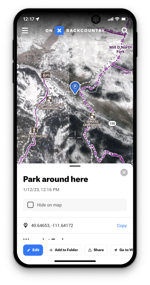
Map Tools Such As Waypoints, GPS Tracking, and More
With features such as Waypoints, Line Distance, Shapes, Photos, and Tracking, you can truly customize your App experience. Whether you’re looking for new locations to explore, places you never want to forget or want to share your routes with friends onX Backcountry makes it easy.
Try onX Backcountry Free Today
Get access to trip planning tools such as Route Descriptions, Slope Angle & Slope Aspect, SNOTEL data, Avalanche Forecasts, Mapping Tools, and much more. Start your free 7-day onX Backcountry trial today to start planning your next backcountry adventure.