Search for BLM Land Maps Near You
Whether you’re planning a hiking trip, a camping weekend, e-scouting hunting locations, or just looking for a day out in nature, our user-friendly map and search tool make it easy to find the perfect spot.
Enter your desired location to uncover BLM land in the interactive map.
Whether you’re planning a hiking trip, a camping weekend, e-scouting hunting locations, or just looking for a day out in nature, our user-friendly map and search tool make it easy to find the perfect spot.
Enter your desired location to uncover BLM land in the interactive map.
How to Use the Interactive Map To Find BLM Land
In the upper-right corner, type the nearest city or major landmark to the area you want to explore for BLM land. If there is no BLM land immediately visible, zoom out (-) until you find an area with yellow shading for BLM land that corresponds with the map legend in the lower-right corner of the map. Once you locate BLM land, use the cursor to drag that section of land to the center of the map view and zoom in (+) to explore more details.
Bureau of Land Management (BLM) lands are considered public lands. Collectively, they comprise 247.3 million acres and are located primarily in western states.
BLM land on a map is denoted by yellow shading.
BLM lands are open to many types of recreation, including camping, hiking, fishing, off-roading, hunting, mountain biking, and more. Always check local regulations governing these activities for each specific BLM parcel.
Camping on BLM land can range from stays at developed facilities for a fee to free dispersed camping in remote backcountry areas. Dispersed camping is generally allowed for a period not to exceed 14 days within a 28 consecutive day period. Always check with the appropriate field office when planning your camping trip.
More than 99 percent of BLM land is free to use, unlike national parks and many state parks. Additionally, BLM land can offer more diverse and less-restricted recreational opportunities than national parks or state lands.
See our BLM land maps for Yellowstone National Park, Yosemite National Park, and Zion National Park.
Call the Bureau of Land Management’s Law Enforcement Dispatch at (800) 637-9152. The number is answered 24 hours a day, 7 days a week, and can be used for reporting issues and natural resources crimes.
There are land-use restrictions in some areas. It’s always best to check with the local BLM field office to learn about permanent, temporary, or seasonal restrictions that may be in place on BLM lands. Remember, BLM lands have specific land management objectives in place to protect resources and provide public safety.
There are several ways to be involved in the BLM’s conservation efforts. You can be a resource advisory council member, partner, or volunteer. Check BLM.gov for more information on all those opportunities.
View BLM Land Maps in the field with the following onX Products:
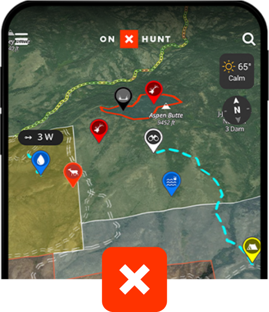
onX Hunt
Trusted by millions of hunters
-
852 Million Acres of Public Land
-
Color-Coded Public and Private Land Boundaries
Pro Deals on Top Hunting Brands
Trail-Cam Integration
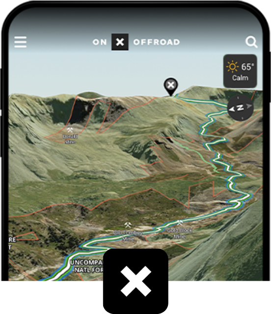
onX Offroad
Go farther with confidence
-
650K+ Miles of Off-Road Trails
Color-Coded Public and Private Land Boundaries
Dirt Mode and Snow Mode for Year-Round Adventures
Route Builder and Customizable Map Tools
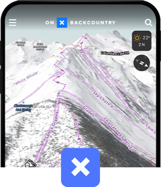
onX Backcountry
Discover trails near you
770K+ Miles of Hiking, Biking, and Backcountry Skiing Trails
Color-Coded Public and Private Land Boundaries
500K Recreation Points
Local Weather and Daily Avalanche Forecasts

