The Ultimate Guide to Federal Public Land Designations
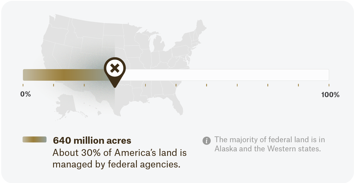
The numbers vary slightly, but it’s understood that about 640 million acres, or about 30% of America’s land, is managed by federal agencies. But how are these broken down and categorized? In this piece, we’ll explore land designations, and their respective managing agencies, to better understand how we can ethically access and recreate on these parcels.
What Are Land Designations?
Federal land designations, or just land designations for our purposes, are parcels that are deemed nationally significant by Congress or the executive branch. Depending on a variety of factors, they can be managed in many different ways. They exist on a spectrum of protection to extraction with the managing agency, and their guidelines, dictating how the land can be used. Considerations of priorities include public visitation, resource protections, funding, physical characters, and more. Landscapes such as timbered forests, deserts, and wetlands often align themselves with a particular managing agency and designation.

As a hypothetical example, a saltwater marsh on the east coast provides critical wetland habitat for migrating birds and riparian buffer between housing development and the ocean. Visitation can be tolerated by the landscape, but prudent use of trails and firm surfaces must be adhered to. This may constitute a good use for U.S. Fish and Wildlife System’s National Wildlife Refuges, which we’ll get into shortly.
Who Manages Federal Public Land?
Two parent-level agencies oversee the management of most of the federal public land used for recreation: the Department of the Interior (DOI) and the U.S. Department of Agriculture (USDA). Each department manages subsidiary agencies called federal land management agencies, which have their own directives, missions, and goals. This leads to intricate management practices that impact their rules and regulations.
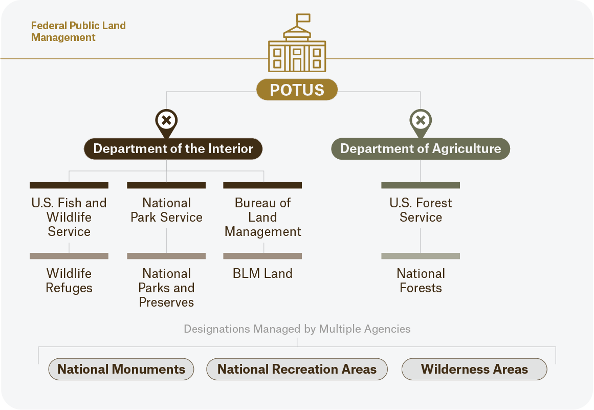
The DOI oversees many agencies, but the three we’ll focus on are:
- Bureau of Land Management (BLM)—245 million acres.
- National Park Service (NPS)—85 million acres.
- Fish and Wildlife Service (FWS)—95 million acres.
Over in the USDA, the U.S. Forest Service (USFS) is responsible for 193 million acres.
These agencies harbor precious acreage that recreationists use to find game, ski lines, and miles of dirt roads for enjoyment. It’s important to recognize the differences in land use and designations, so let’s take a look at how you can recreate in certain areas.
Where to Find Information About Public Land
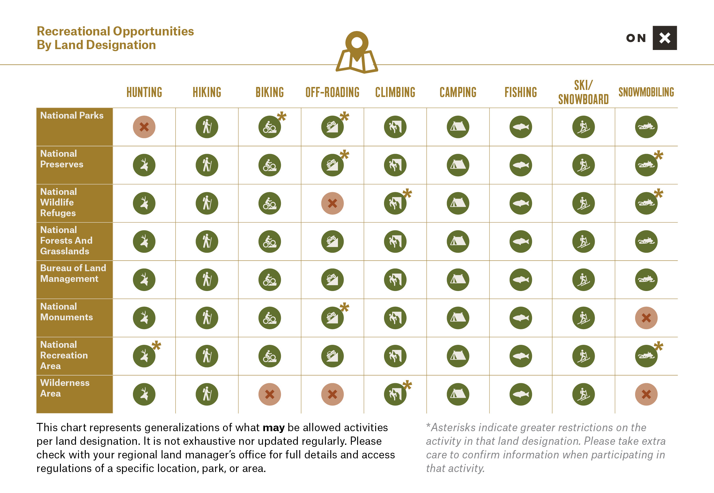
Federal land is divided up in many ways, but an easily identifiable filter for recreationists is through land designations. These identifiers provide a quick high-level categorization of what the area of land can be used for, but these are generalizations, so digging in deeper is essential. After discovering the land designation status, research the specific area through the official land manager’s website, which should contain recreation access information and regulations of the designated area.
For example, if you’d like to go overlanding in Moab, start your search with the BLM Moab Field Office website. This can give you a broad look at what’s allowed and what you might expect. Check onX Offroad for trail conditions and other pertinent information, but rely on trail signage on the ground as your ultimate source of truth.

Understanding our land management agencies and the purpose and nuance behind America’s many land designations can not only empower you as you prepare for your next adventure, but also keep you safe and legal.
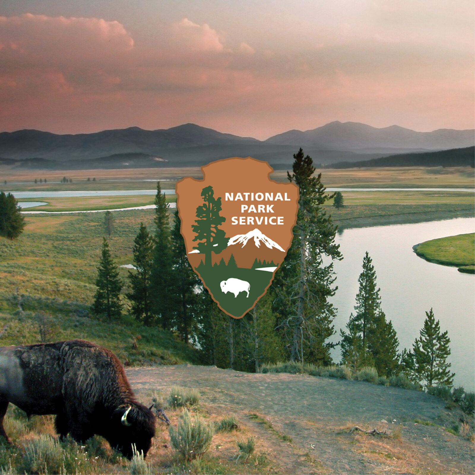

National Park
Perhaps the most well-known federal land management agency, the NPS manages national parks, preserves, historic sites, monuments, and more. Since 1916, the NPS has been dedicated to preserving natural and cultural resources for enjoyment, education, and inspiration. The lands within the National Park System are generally more protected than others: except wilderness areas. In addition to their recreational value, national parks often contain historical significance. This protection comes with stricter recreational uses, notably restrictions surrounding hunting, off-leashed pets, and drone use. Some exceptions exist.
Fun Facts About National Parks
- The first national park was established long before the National Park Service existed. In 1872, President Grant signed what would become Yellowstone National Park into conservation land. The challenges that this parcel presented created the need for the modern-day NPS.
- Wrangell-St. Elias National Park and Preserve, located in Alaska, is the largest national park in the country. At 13.2 million acres, it’s a massive representation of preservation.
- The NPS’s arrowhead logo, featuring a sequoia tree and a bison, represents the historical, archeological, and biological values of which the park service stands to protect.
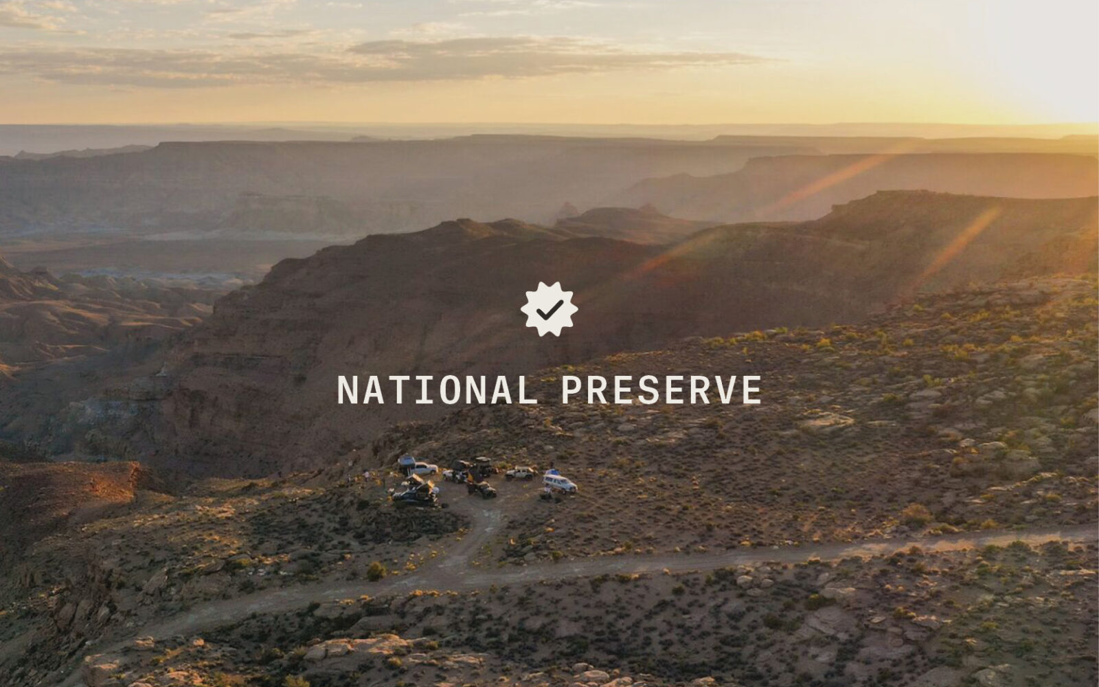

National Preserve
National preserves, managed by the NPS, resemble national parks in their high-quality landscapes and cultural significance, but Congress has permitted continued public hunting, trapping, oil exploration, and extraction. Many existing national preserves, without sport hunting or resource extraction, would qualify for national park designation.
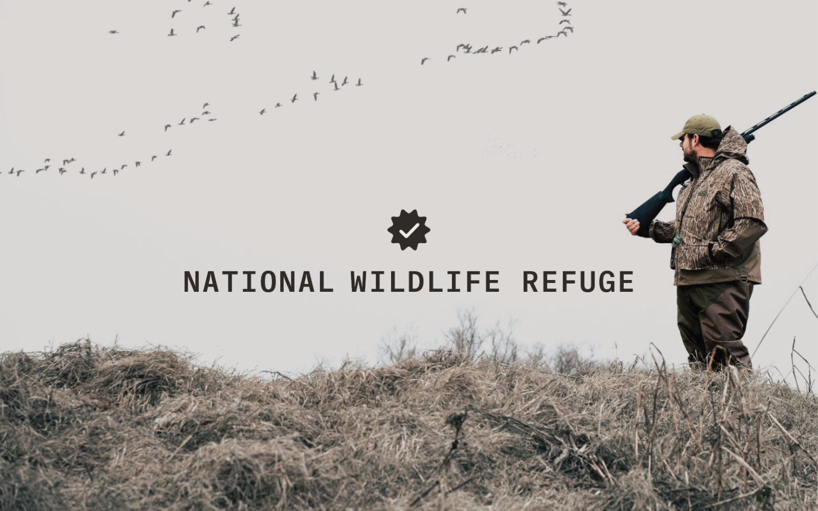

National Wildlife Refuge
Calling all birders and waterfowlers—this one is for you. As the only land designation with one in every state, the National Wildlife Refuge System, managed by the USFWS, provides a haven for flora and fauna. More than 570 of them exist across the country, and some contain wilderness areas. Predominantly, national wildlife refuges conserve habitats protecting species and migratory birds.
Fun Fact: Under the National Wildlife Refuge System Improvement Act of 1997, the following six activities are mandated as the priority for these lands:
- Hunting
- Fishing
- Birding
- Photography
- Environmental Education
- Environmental Interpretation
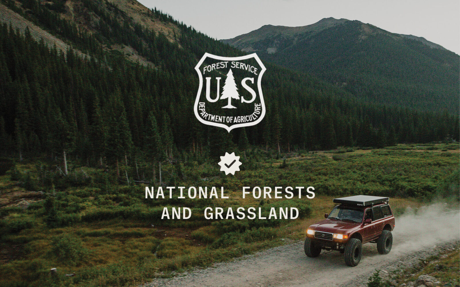

National Forests and Grassland
Overseen by the USDA, the purpose of USFS includes recreation, timber harvesting, grazing, wildlife, and more. It consists of 193 million acres and 155 national forests. More than 7 in 10 Americans live within 100 miles of a national forest. The USFS has a multi-use mandate and manages consumptive resources alongside recreational ones. According to the National Forest Foundation, there are over 3,000 species that are found within the bounds of a national forest. Additionally, 122 ski areas operate within national forests, and countless opportunities to backcountry ski exist as well. This designation is inclusive of grasslands and the USFS manages 20 of them, including 3.8 million acres.
Fun Fact: Can you guess the largest national forest? Tongass in Alaska.
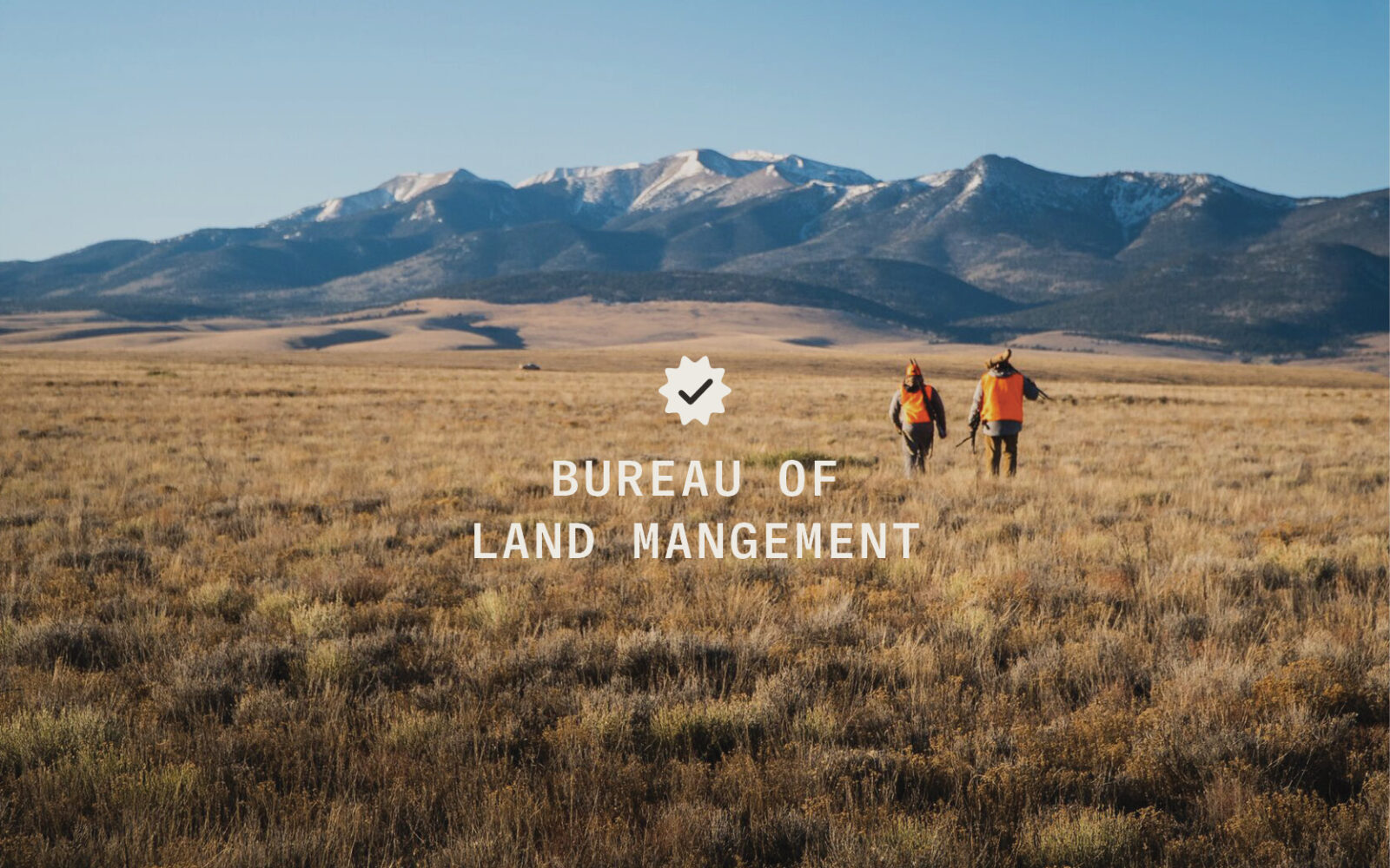

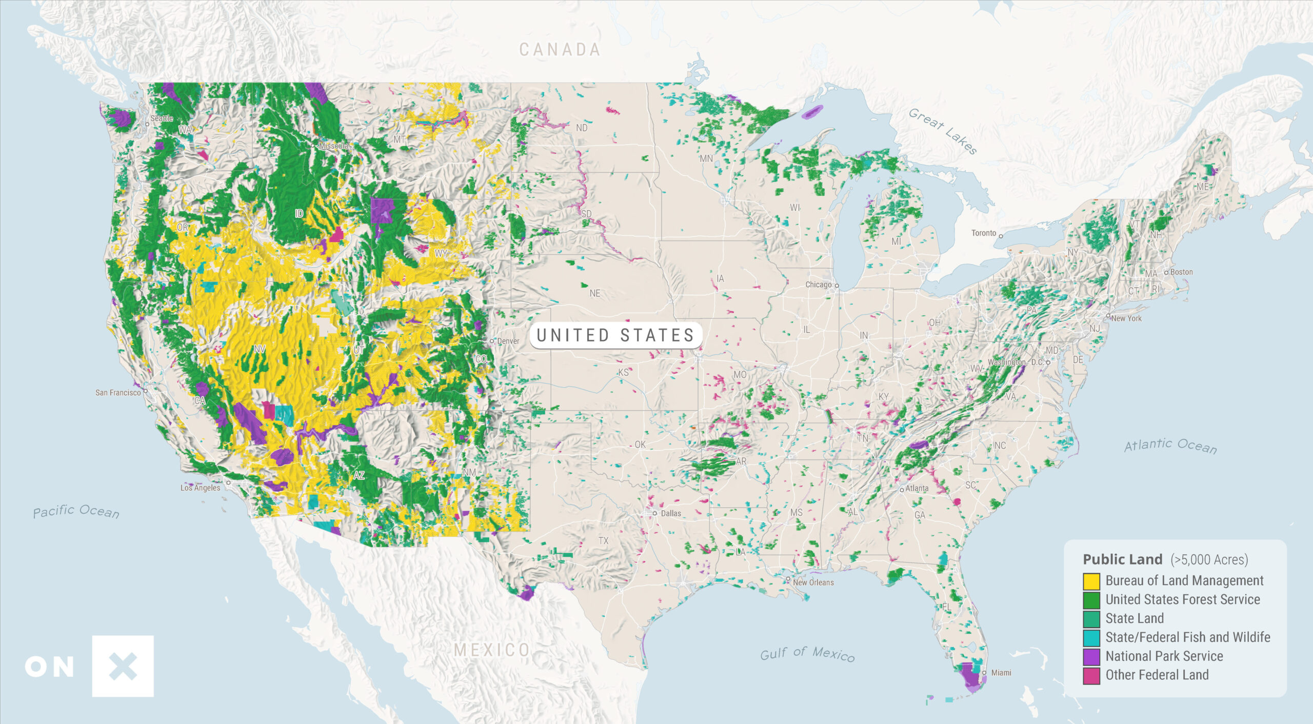
Bureau of Land Management Land
Their presence is vast, and the BLM is the largest land manager in the country with over one-tenth of it in their purview. Their vast presence in the west is particularly notable in Nevada, Alaska, and Utah. According to the Federal Land Policy and Management Act of 1976, they are mandated to manage lands for multiple uses and sustained yield. These include renewable energy development, conventional energy development, livestock grazing, mining, timber harvesting, and outdoor recreation. This balance leads to an immense network of multi-use recreational lands. Often, you’ll find off-roaders, hunters, and hikers, alongside oil rigs, grazing cattle, and solar fields.
Types of Federal Public Land:
Inter-Agency Land Designations
Some land designations can be managed, or co-managed, by multiple agencies. Let’s take a look at some of these examples.
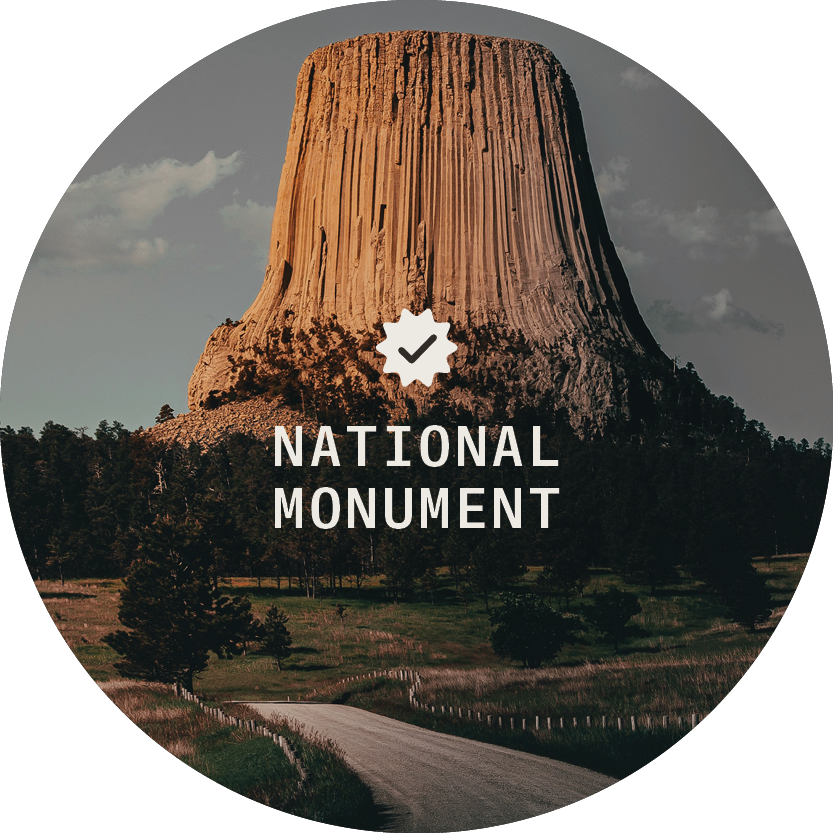
National Monument
The 1906 Antiquities Act granted the executive branch power to denote national monuments. According to the BLM, these sites see approximately 8.6 million visitors per year. These lands are often multi-use, and extractive industry resources, including mining, can continue based on previous rights to the land.
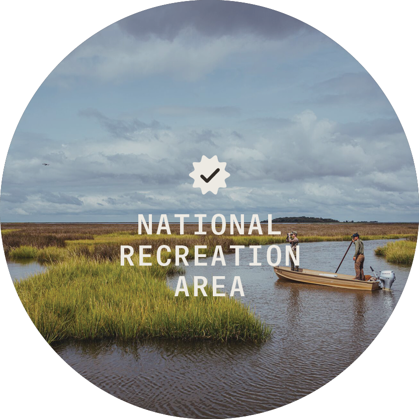
National Recreation Area
National Recreation Areas are often water-based landscapes that allow swimming, kayaking, fishing, and boating. They often tout important natural and cultural features. The U.S. has 40 national recreation areas, which are managed by the NPS, BLM, or USFS. National Recreation Areas are less strict than national parks and allow a greater diversity of activities. They also tend to be more accessible than national parks.
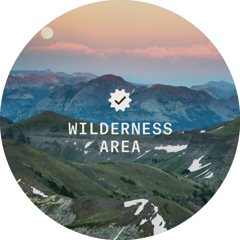
Wilderness Area
Wilderness areas are parcels of land representing pristine quality. Unencumbered by human development, the idea of protecting them became solidified in 1964, under the Wilderness Act.
Inclusive of about 11.1 million acres, this designation provides preserved landscapes that host hunting, fishing, hiking, and educational opportunities. Landscapes range from alpine to desert, and forest to grassland. Wilderness areas are held in stewardship by both the USDA and DOI by each of the four major federal land management agencies. Broadly, the most notable recreation exclusions include motorized and mechanized travel within its boundaries. Bikes, cars, chainsaws, wild game carts, and more aren’t allowed in these areas. They make for optimal places for solitude on a backcountry hike or hunt.
How Land Designations Impact Access and Stewardship
It’s on us to make sure that recreation access is retained (and perhaps even expanded) for the next generation. By starting with land managers and their designations, we can understand their goal to better our own recreational objectives. This list is neither exhaustive nor inclusive of all restrictions, so please use resources such as our Apps, land managers’ websites, and on-the-ground signage as sources of information.
Some Helpful Tips for Recreating on Federal Land
- Check the land manager’s website and social media for the latest information on closures, restrictions, and other pertinent information.
- Be sure to check Active Wildfire Conditions in your area.
- Download an Offline Map so you know where you are in relation to land boundaries.
- Share your plans with someone back home using Folders or Share functions.
At time of publishing, figures in this piece were sourced from federal websites and known to be the truest representation.
Discover the onX Access and Stewardship Program
Read reports, browse stories, and get inspired.