How GPS Works And Where You Can Put it to Use
GPS, or Global Positioning System, is at the core of navigation, but do you understand how it works?
![]()
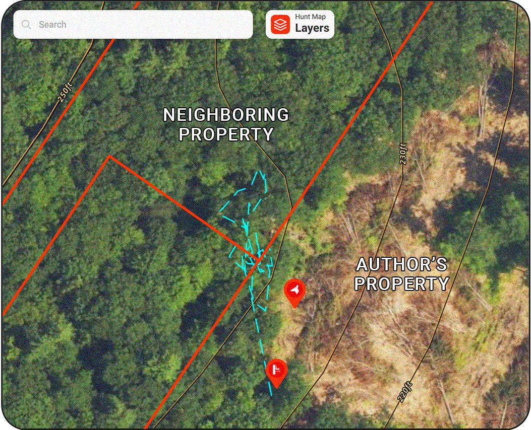
I’m standing on the southwest corner of my property, the land descends to the north into the Androscoggin River, and, from my tree stand, I can see a surveyor pin next to me about 30 yards or so away. I turn on Tracker, walk toward the pin, set my phone on the pin, and walk away to play fetch with my dog, Tucker. Over the next few minutes, my phone acts as an antenna communicating, from a stationary position, with no less than three satellites 12,550 miles above me. Yet, when I save the Track, a series of cobweb-looking lines appears my phone’s location that make it look like it’s been moving. The Track jumps property boundaries with reckless abandon paying no mind to the fact the phone never budged an inch.
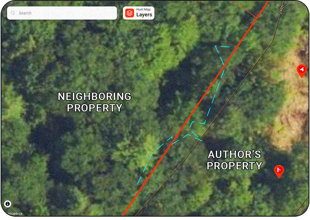
Furthermore, as I walk down the well-flagged property boundary line, my GPS reading jumps from one side to well over onto the other despite my on-the-ground position remaining squarely on the line. I slow down to see if the phone can calibrate easier but to no avail. Things seem jumpy no matter how slow I go—even from a stagnant position. It’s pretty frustrating.
What’s happening here? Trilateration. It’s incredibly sophisticated, but not perfect.

How Does GPS Work?
Summary of How GPS Navigation Works:
1. Satellites orbit and broadcast signals with synchronized clocks.
2.GPS receivers on the ground pick up these signals.
3. The receiver calculates the distance from each satellite by measuring signal delay.
4. Using trilateration, the receiver pinpoints your location.
5. The receiver displays your position on a map.
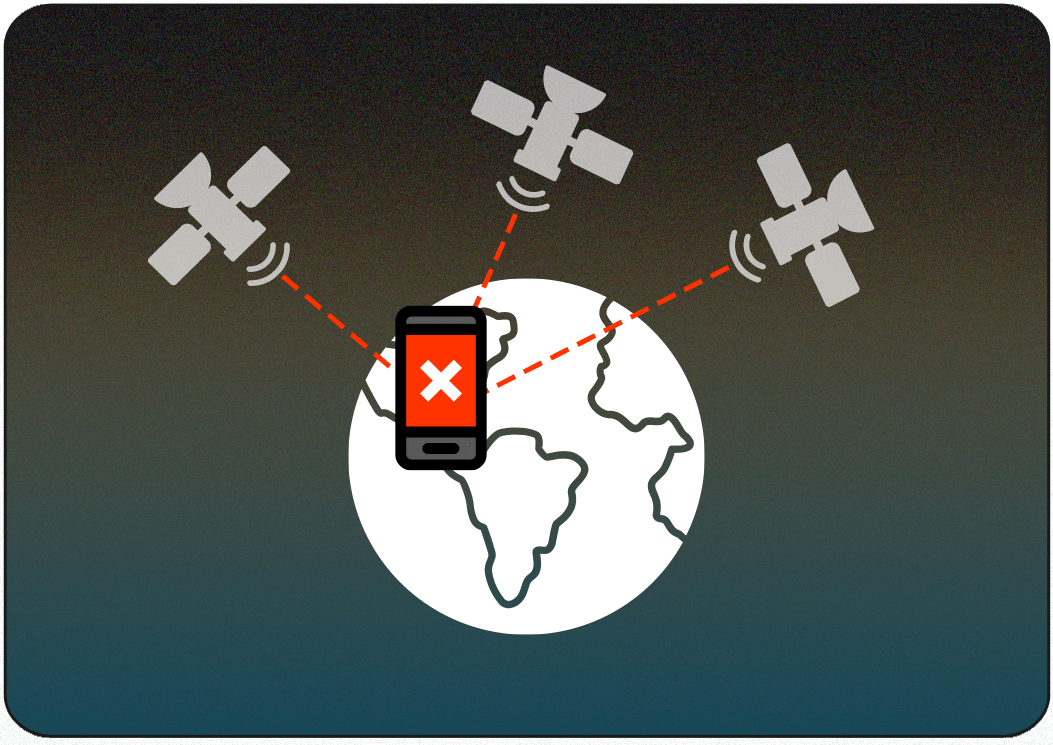
GPS is a satellite-based navigation system that provides location information anywhere on Earth. According to the Federal Aviation Administration (FAA), 31 satellites are operated by the United States Department of Defense. A GPS unit such as a phone or smartwatch connects to at least three of these satellites—a process known as trilateration. Connecting to four enables a greater degree of accuracy. The GPS receiver calculates the time it takes for each signal to reach its respective satellite. Since the signal travels at the speed of light, the time delay can be used to compute the distance from each satellite.
Sources vary, but GPS software units can be accurate to about 16 feet, which is the best that the satellite hardware can offer. Unless you upgrade to a “dual-frequency receiver” the industry standard is set to 16, no matter how new your phone is or what software you are using. That being said, there are a variety of factors that can degrade your GPS experience. These include things like buildings, canyons, trees, battery-saving mode, and other elements that block your connection to satellites. Conversely, connecting to a cell tower can enhance the accuracy of the reading. Largely, your phone acts as an antenna at any moment so you can know where you are and where you’re going.

Two Components of Offline Navigation—GPS Maps
There are two fundamental components of operating offline.
The first is your Offline Map in onX which is static, and the second is your blue dot or the GPS reading of your location which is dynamic. Combining these two variables allows you to operate your map miles into the backcountry with ease and confidence. The blue dot communicates with the satellites, which don’t rely on cellular connectivity. The map, however, is something that must be updated, downloaded, and available for when you’re away from cellular coverage. When downloaded, maps are saved directly to your phone’s internal storage. This also means that your Waypoints, Tracks, and Routes will be saved and new ones added in the field will update when you return to cellular or Wifi coverage.
Tracking with GPS
Our Tracker feature is a beneficial tool in the toolbox. It drops a trail of digital breadcrumbs onto the map so you can navigate your way back out, safely. However, you may notice that the trail, road, or path you followed will not be completely in line with the track itself. There are several manifestations of this. One of which could include a straight line appearing between the point at which you last checked your App and where you’re standing now. This is often a result of battery-saver mode being enabled. Or, as you change elevation, your signal quality to the satellite improves or degrades impacting where exactly your blue dot shows your location on the map.
If you stand still with Tracker on, you may notice that your position will bounce to a few different points, albeit close by. This is due to your receiver (phone) pinging satellites that are thousands of miles away. When in the field, this can result in your track being a few feet off of the trail or road you followed. Together, these deviations can add up to a slightly longer or shorter distance than expected but are almost always within the acceptable range for the average adventure.
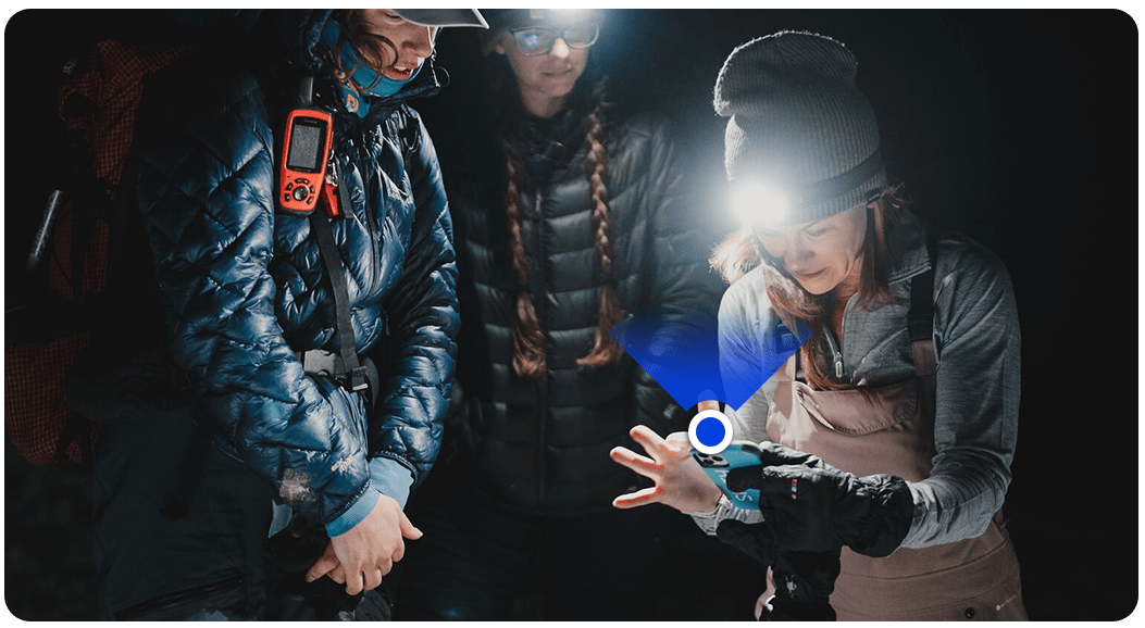
Try this exercise. Select a point near you on the map (100 feet or so will do), and navigate to that point with Tracker (Hunt and BC)/ Go & Track (Offroad) feature turned on. Then get as close as you can to the point and stop moving. Wait a few minutes, or set your phone down entirely, stop the Track and Save. You should see a cobweb of lines appear despite your fixed position.
This is an example of how satellites are reading your location at different times. Satellites are always moving, and the reading they receive from your device changes with it. Even though you aren’t moving, the process of trilateration is imperfect. According to onX’s Senior Lead Product Manager-Content Team, Kristin Rousseau, “A geospatial data point is gathered every few seconds.” Each data point is a GPS reading from your device to a satellite and strung together, these create your track. As we proved with the exercise above, the GPS reading is incredibly accurate, but not without a slight margin of error.
The Human Factor in the Science
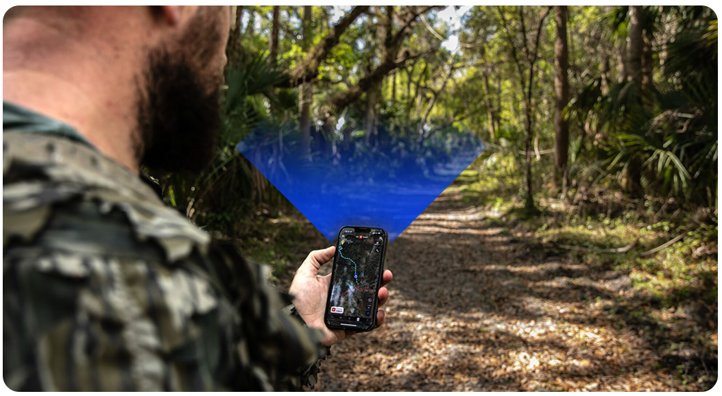
So why is this all important? Most of the time, it doesn’t matter. Yet, when your landscape gets micro, details matter, and you’re on the edge of something, it’s important to know that your GPS reading can misguide you. Ultimately, you are responsible for staying on the right side of access, so it’s important to keep your head up, looking at your surroundings for visual cues. Relying on your sight, awareness, and intuition will be critical for navigation when the landscape gets small. GPS can get you to within 16 feet of certainty, but it’s up to you to ensure we can retain access to the places that fulfill our adventures.