
See Current Ice Cover With Recent Imagery
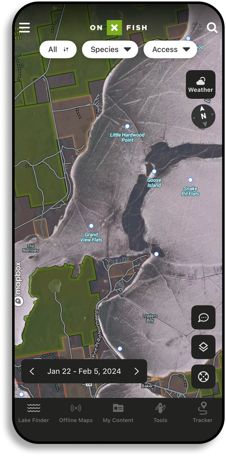
One of onX Fish’s standout features is its access to recent satellite imagery. During the early ice season, this can reveal information about ice development and overall safety. Throughout the rest of the season, recent imagery can inform anglers on fishing pressure across large lakes or multiple smaller ones. Use this feature to identify which lakes ice-up/ice-out first, as well as popular locations on the lakes you fish.
One of onX Fish’s standout features is its access to recent satellite imagery. During the early ice season, this can reveal information about ice development and overall safety. Throughout the rest of the season, recent imagery can inform anglers on fishing pressure across large lakes or multiple smaller ones. Use this feature to identify which lakes ice-up/ice-out first, as well as popular locations on the lakes you fish.


See Fishing Pressure From a Bird’s Eye View
Make the most of your time on the water with key onX Fish features such as:
- Ice Up: See lakes that ice up first and completely for a better idea of where ice has hit across the Midwest.
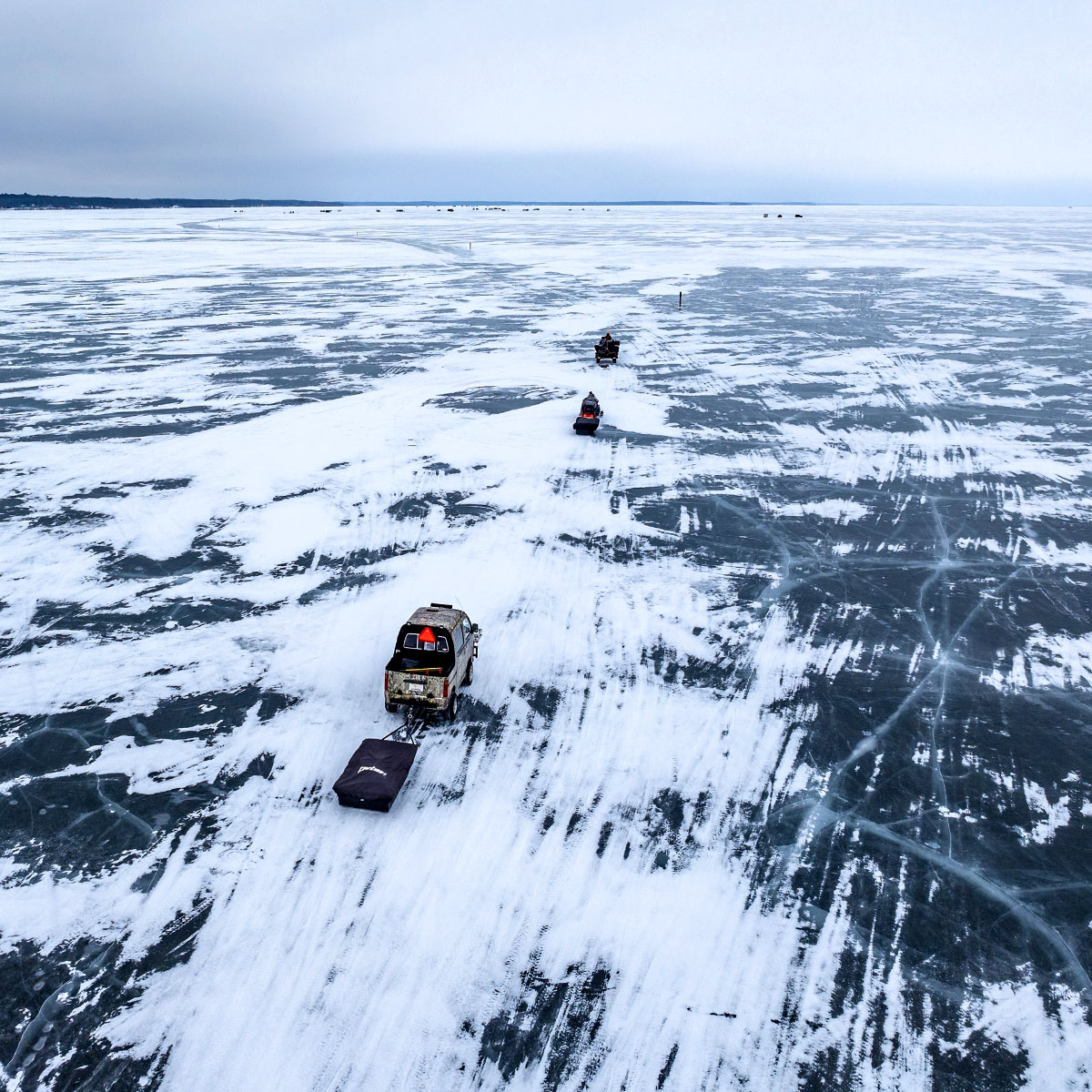
- Ice Roads: Clearly visible in satellite imagery, ice roads indicate where anglers are accessing lakes. These roads often lead to heavily trafficked areas, which can mean pressured fish.
- Angler Traffic Patterns: Look for clusters of vehicles, shelters, or other signs of human activity. Avoiding high-traffic zones can increase your chances of finding less pressured, more aggressive fish of all species.
Undisturbed Areas: Conversely, imagery can highlight untouched sections of a lake where fish may be easier to catch.

Joel Nelson
Owner/Operator of Joel Nelson Outdoors
“We know the same lakes in topographic depressions, that are shallower, and are north enough to get the cold weather will build ice first, every year. Even before ice-up, I’ve been using onX Fish to scout which lakes will be “live” before others. I can’t wait for people to start driving on the ice so I can use recent imagery to see where I should and shouldn’t be spending my time fishing this winter.”
Have the Advantage During Ice Season
Use key features in onX Fish, such as Recent Imagery, to make the most of this ice season.
How To Use Recent Imagery
 In App
- Open the onX Fish: Midwest App on your mobile device.
- Click “Layers” button in the bottom right portion of the screen.
- Select “Hybrid” or “Aerial” to select imagery background.
- Click “Recent Imagery” to change basemap from “High Quality.”
 On Desktop
- Log in to your account.
- Click “Layers” button in the bottom right portion of the screen.
- Select “Hybrid” or “Aerial” to select the imagery background.
- Click “Recent Imagery” to change basemap from “High Quality.”
See other onX Fish App features, like Trophy Fish and Keeper Potential or Species Abundance Insights.