Find the Best Public Hunting Land
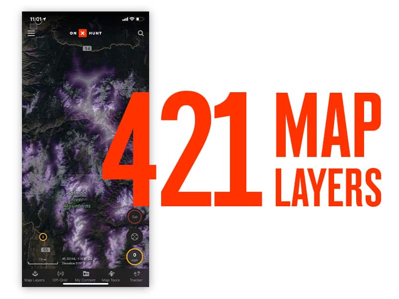
While private property abounds in the Midwest, many hunters prefer the challenge public lands present. The onX Hunt App gives you the most comprehensive maps and information to locate public lands, even the smallest tracts near local farmlands. With 985 million acres of public land and an ever-growing 421 map overlays, your next trophy is in sight with onX Hunt.
Discover public hunting land in the Midwest for only $34.99 / yr.

Combine Aerial Imagery With Topo Lines
The savviest hunters scout in advance to understand where whitetail, hogs and other game go for access to food, water and cover. Whether you’re in the field with the mobile App or planning your hunt from home with the onX Web Map, you can combine aerial imagery with 24k topographic maps to pinpoint the best hunting spots.
DISCOVER PUBLIC HUNTING LAND
Find the best public hunting land in the Midwest using onX maps. With offline maps, custom waypoints and combined aerial and topo maps, onX is the #1 app for hunters.

Access Maps Without Cell Service
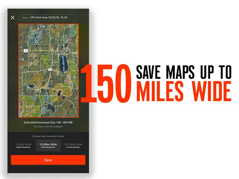
There’s no need for paper maps or GPS devices. Using your Android phone or iPhone and the onX Hunt App, you can access maps without a cell network. From sizes as small as five miles wide to as large as 150 miles wide, you can download and save public hunting land maps. And with our latest updates, you get crisper maps at higher zoom levels without pixelation.

Create and Share Custom Waypoints
Track the location and directions to your favorite hunting spots or share them with friends and family using onX Hunt’s custom Waypoints. You can save the location of whitetail stands and color-code them by time of day, differentiate game activity year-by-year or use Waypoint icons to denote favorite campgrounds or glassing locations. Enjoy map customization for every hunt with onX Hunt.
Plan Your Next Hunt With Hunt Central
Learn more about seasons, licenses, and regulations for hunting in Midwestern states. Access the information you need to plan your hunting trips, including public and private lands, species and permits, terrain, maps, and more.