
Recent Imagery
Recent Imagery delivers fresh low-resolution satellite imagery every two weeks (dating back to March 2023) so you can monitor changes in the landscape.
Look Back, Plan Ahead
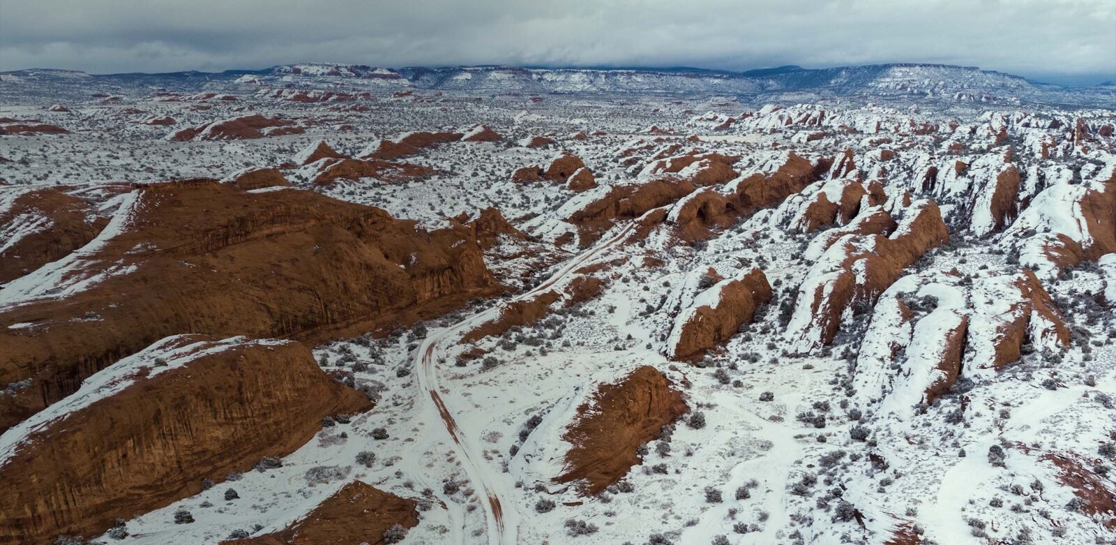
Quickly compare “then” vs. “now” to better predict conditions and build stronger hunt plans. Use the most recent satellite images to monitor changing snow lines, water levels, field cuts, timber thinning, wildfires or prescribed burns, and more.
Anticipate Animal Movement
Track how agriculture fields, grasslands, forests, water bodies, and other habitats change over time. Spot changes in water levels, timber harvests, or crop harvest to predict where critters may move next or target areas holding game.
Check Water Levels
View shifts in water levels in lakes, rivers, and marshes to plan hunts or determine whether stream crossings are navigable.
Evaluate Access Routes
Monitor snowpack at your planned destinations in near real-time to gauge accessibility. Choose optimal routes or develop contingency plans amid ever-changing conditions.
See Landscape Changes in Near Real-Time
After wildfires, floods, or timber work, track how these disturbances reshape the landscape. Understanding post-event patterns in terrain and habitat helps you make more strategic decisions.
Using Recent Imagery allows me to get an idea of recent changes on the landscape, be it near real-time changes on a new food plot we cleared, crops coming off across state lines, or burn edges for a tag out West. A quick glance at these changes helps me strategize and plan my hunts.
– Chris Bee
Know Before You Go
Understand landscape changes in near real-time.
Frequently Asked Questions
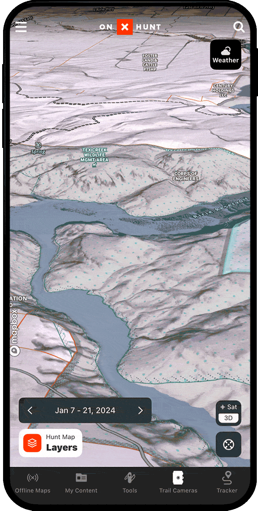
Recent Imagery is an Elite-only feature. To use Recent Imagery, confirm you have an Elite Membership, then open your Basemaps (in the lower right corner) and toggle “Recent Imagery” on.
Recent Imagery is released every two weeks, dating back to March 2023.
Recent Imagery provides medium-resolution (five-meter) maps.