
Topographic Map App for Hunters
Topo maps show terrain features and elevation changes via contour lines to help you plan and navigate your hunts.
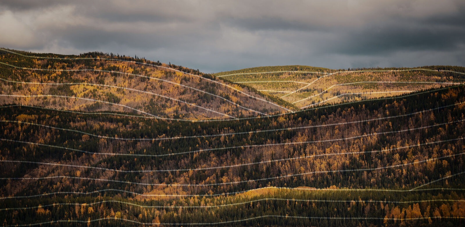
Hunting Topo Maps
Hunting topo maps serve as your blueprint for reading the lay of the land. Contour lines reveal terrain features, such as drainages, ridges, canyons, saddles, draws, spurs, and cliffs, so you can get into more wild game.
Topo Maps Breakdown
Plan Better Routes
Topo maps help you understand how strenuous a route might be and allow you to choose a path that suits your purpose, whether that’s gentle slopes for a packout or terrain that can keep you concealed on a stalk.
Locate Water Sources
With water indicated in a vivid blue to stand out against the map, locating hard-to-find water sources like springs, creeks, and small ponds is easy.
Intercept More Game
How animals move across the landscape is made much less mysterious when you identify terrain features like funnels and pinch points that determine their routes of travel. Put yourself in the right spot at the right time with the invaluable information topo maps contain.
Identify Optimal Vantage Points
Scan your topo map for sets of circles that indicate ideal glassing knobs and other high points that provide you with the big views you need to identify game and plan your stalks.
The level of detail the onX Hunt topo map provides lets me confidently chart my path, whether I’m heading up the mountain to a glassing spot or coming down in the dark heavy after cutting a tag. There’s no guessing involved—onX Hunt topo maps give me the precision I need to stay on track and make the most of every hunt.
– Eric Chesser, HUSHIN
Experience Our Interactive Topo Map
Get the full experience and unlock additional features by creating an account.
Topo Maps App
Unlock topo maps, plus all Premium onX Hunt features, free for 7 days by creating an account.
Frequently Asked Questions
Topo maps, short for topographic maps, show changes in elevation and terrain features using contour lines. Hunters use these maps to understand how land slopes, identify ridges, valleys, and funnels, and plan access routes based on terrain.
The onX Hunt App allows you to download Offline Maps to your device for use outside the cell network. With your Offline Map downloaded, you’ll continue to be able to access the topographic map (as well as satellite maps and hybrid maps, which combine satellite imagery and topographic contours).
Benches, fingers, bowls, basins, and wallows are elk hotbeds, and certain topographic features tend to hold more elk than others. For this reason, a topo map such as onX Hunt’s Topo and Hybrid Basemaps can be your first step to finding timbered-up elk. Learn more at Using Topography To Find Elk With Remi Warren.
Contour lines will form an hourglass shape with rising contour lines on each side. Learn more at How To Read a Topo Map for Hunting.
Relief is the amount of topographic change in a given area. Specifically, it’s the difference in elevation between two points, which can be calculated on a topographic map using contour lines.
“Index Lines” are labeled with a number representing elevation above sea level. These are the thickest lines on a topo map. “Intermediate Lines” are thinner and appear between Index Lines. Generally, there are four Intermediate Lines between every Index Line. The elevation between Intermediate Lines is typically found in map keys. “Supplementary Lines” are used to indicate flatter terrain.
Topographic maps help hunters locate natural travel corridors, bedding areas, and terrain pinch points. Understanding elevation and slope changes improves stand placement and helps predict how game moves across the landscape.