Overview
Known For
Ohio is known as a top hunting state for whitetail bucks, with some of the largest trophy bucks having been taken here, including the second-largest non-typical whitetail ever. It is also known for its furbearer hunting and trapping seasons for fox, raccoon, skunk, opossum, weasel, mink, and muskrat. Ohio is among the country’s top producers of raw furs.
Terrain
Ohio is part of the Appalachian Plateau, which covers almost the entire eastern half of the state. Here there are high hills and deep valleys. But most of the state is rolling hills, with some heavy hardwood forests and fertile agricultural lands.
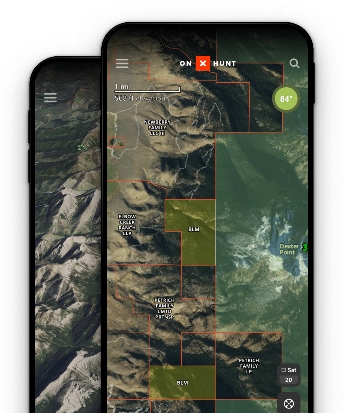
Sign up for a 7-day free trial of onX Hunt and unlock, explore, and master all the map tools and features we offer.
Ohio Hunting Seasons
Select counties only. Bag limit 1 either sex.
Ohio Licenses, Permits, and Regulations
Ohio hunting licenses, permits, and regulations for resident and non-resident hunters can be purchased on the Ohio Department of Natural Resources website. Click below to view the website.
Hunting GPS Maps
Every Ohio hunter should have hunting GPS maps on hand. Ohio hunting maps are available from onX Hunt. With a paid membership you can access Satellite, Topo, or Hybrid Basemaps, over which you can view maps of hunting areas, along with State, Forest Service, and other public and private property boundaries. You can view trails and roads, and even download maps to the Hunt App for use offline. Click below to get onX Hunt for Ohio.
Hunting Areas
Ohio’s public hunting areas are defined by their geographic placement, such as Mackey Ford Wildlife Area. Coshocton County in Ohio has been called the best hunting area in the state for over a decade because it leads the state in the number of annual deer harvests. Click below to view Ohio’s hunting areas in more detail through an interactive map.
Hunting Layers
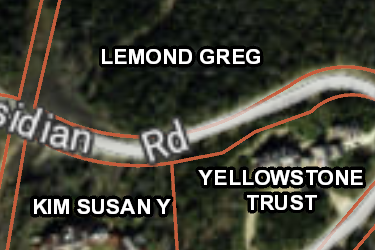
OH Private Lands
Over 4,700,000 parcels mapped by the onX team, this layer helps you know who the property owners are in Ohio. Tap any parcel to learn more info about the owner and acreage.
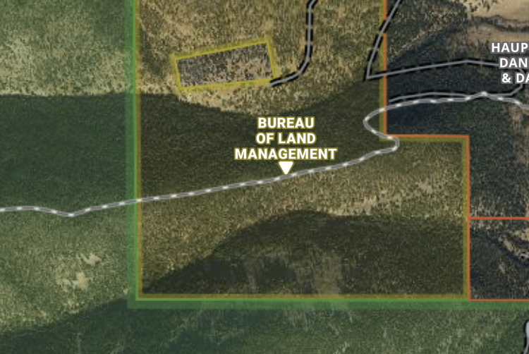
OH Gov Lands
onX has the most accurate maps of Gov Lands, covering over 1,700,000 acres in Ohio. Not all Gov Lands offer access opportunities, check regulations before recreating.
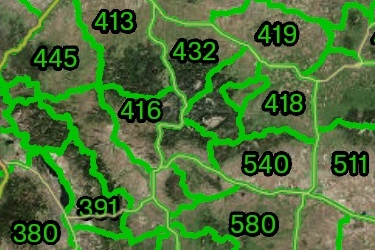
OH Hunting Boundaries
Ohio Deer Bag Limit and Spring/Fall Turkey Hunting Zones. Please hunt responsibly, obey all signage and have a safe legal hunt.
Includes 5 Sublayers
- Deer Bag Limit
- Spring Turkey Zones
- Fall Turkey Zones
- Waterfowl Hunting Zones
- Quail Hunting Zones
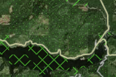
OH Possible Access
onX has mapped 180,000 acres of possible access lands in Ohio including timber companies and land conservation groups. Research rules on these private lands before recreating.
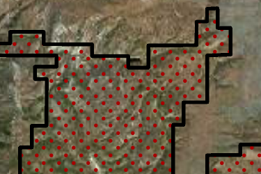
OH AEP Recreation Lands
The Ohio Department of Natural Resources Public Hunting Areas. Please hunt responsibly, obey all signage and have a safe legal hunt.
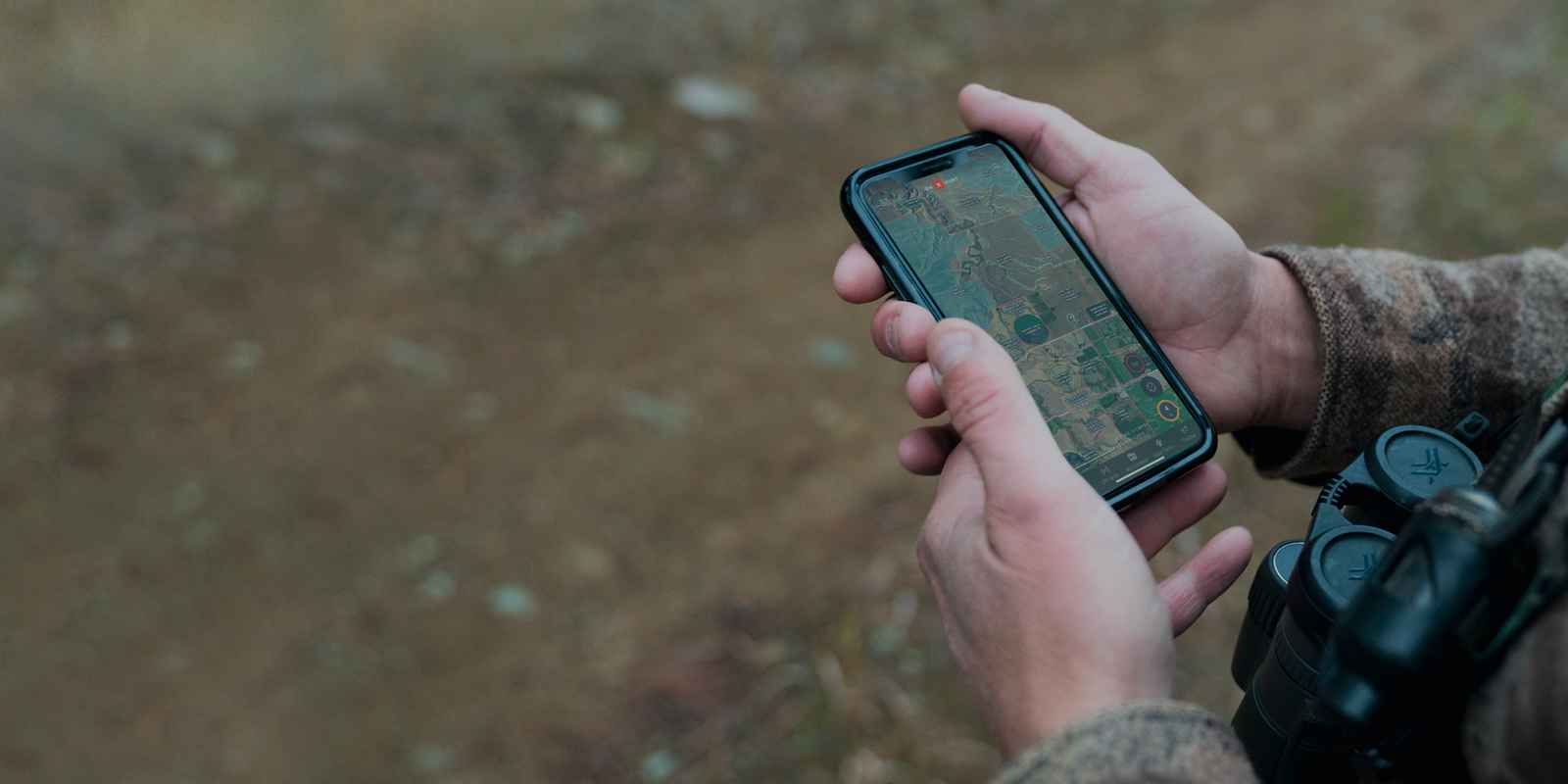

The #1 GPS Hunting App
- 975 million acres of public land
- 10,668 unique hunting units
- 421 map overlays and counting
- 5,000 game wardens approve