Free 7 day onX Hunt Elite Membership
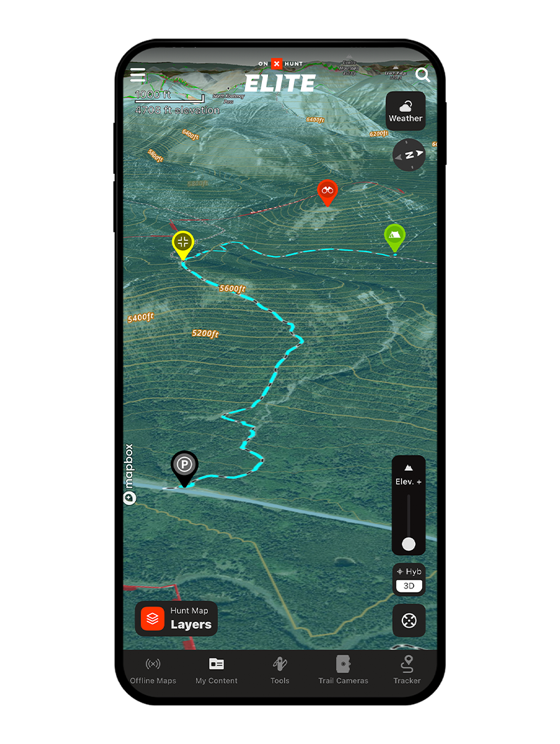
The Most Powerful 3D Mapping Solution
Below is an interactive map sample. Activate your Membership to gain full functionality.
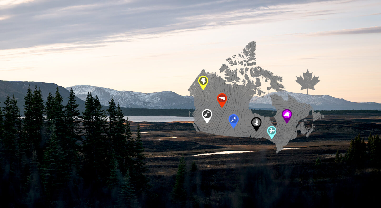
Canada Mapping Layers
Current maps available for Canada in the onX Hunt App.
Land Data
Use lands data to view lands held by government, tribal, province, parks, etc., as well as private lands (without landowner names). Learn More
Crop Distribution
Crop Data shows the past season’s crop information, and helps you scout hunting land more quickly by providing unique food source information for many species. Learn More
Hunting Units
Make sure you are in the right unit for your hunt.
Parcel Lines
Nationwide coverage for parcel lines (where available) without landowner names. Learn More

Historic Wildfires
Historic Wildfire shows burned areas from forest fires. Red shades highlight recent burn areas having the newest regrowth. Learn More
Special Hunting Layers
Currently includes outfitting areas, AB and BC special draws, and SK furblock units. Learn More
GPS Tools
- Location – Your current physical location is marked with a blue dot on the map, and your elevation, latitude and longitude are displayed- even outside the cell network. Learn more about finding your location.
- Waypoints – Mark any location on the map with a waypoint, or mark your current location quickly with a few taps of your finger. The “Go-To” Waypoint tool draws a straight line on the map from where you are to the location of the waypoint, making backcountry navigation a breeze. You can even share waypoints with your friends to coordinate your hunt. Learn more about waypoint features.
- Lines and Shapes – Measure the distance from one map feature to another with the Line Tool, or measure out an entire area with the Area Shape Tool. Learn more about measuring with lines and shapes.
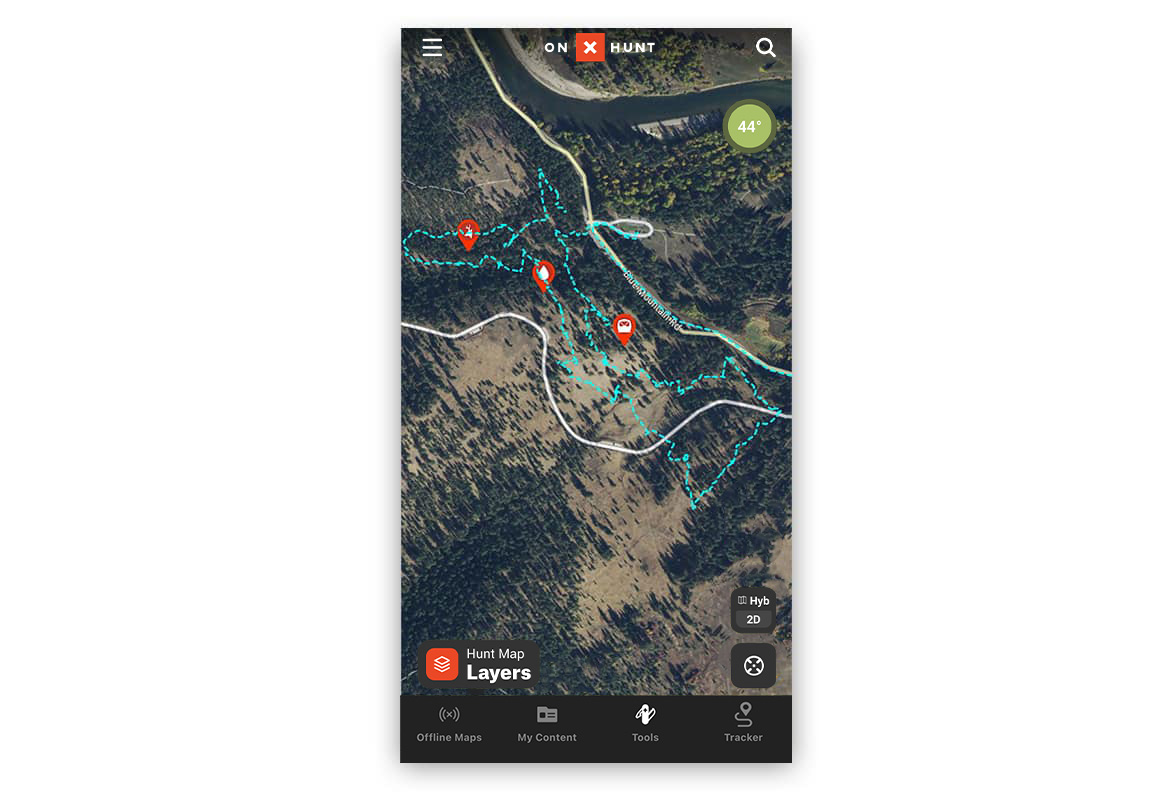
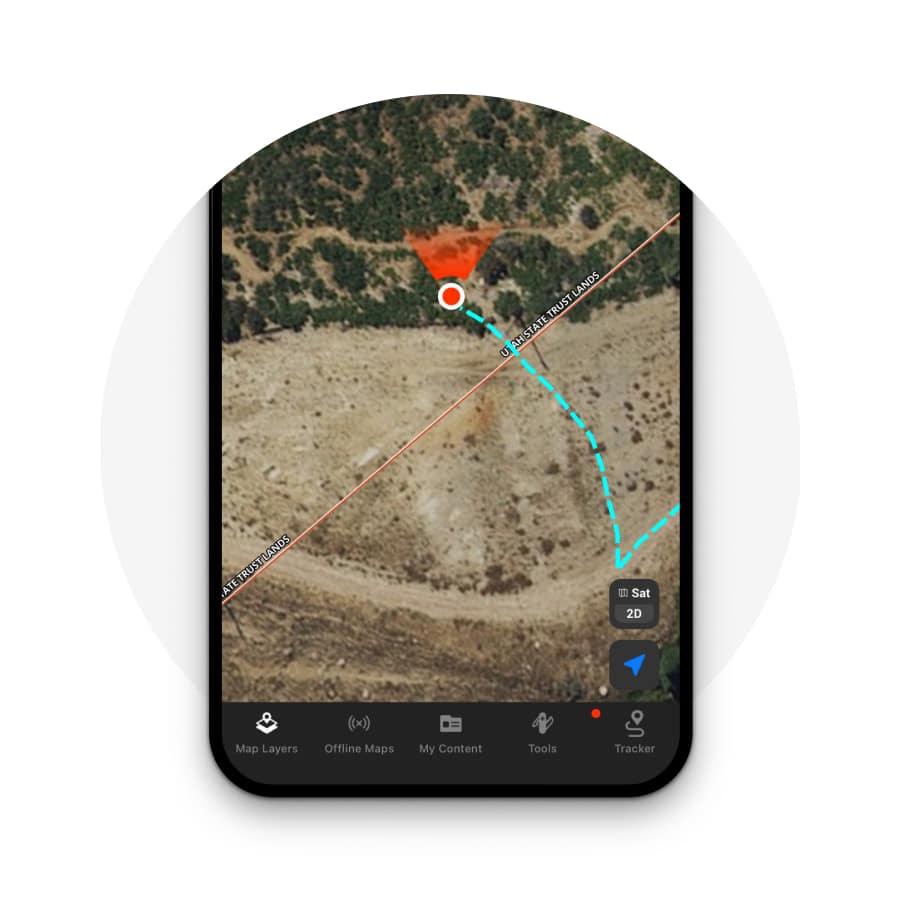
- Tracker – record your exact path as you travel and save it on your map for future reference. Learn more about using the tracker.
Off-Grid Maps
As we all know, cell coverage can get pretty spotty in the backcountry, so the ability to save maps onto your mobile device for use outside the cell network is crucial. The onX Hunt App comes with a built-in system for saving map data onto your device so you never have to worry whether or not you’ll have coverage in the area you plan to hunt. Learn more about using Off-Grid maps.
Satellite Imagery
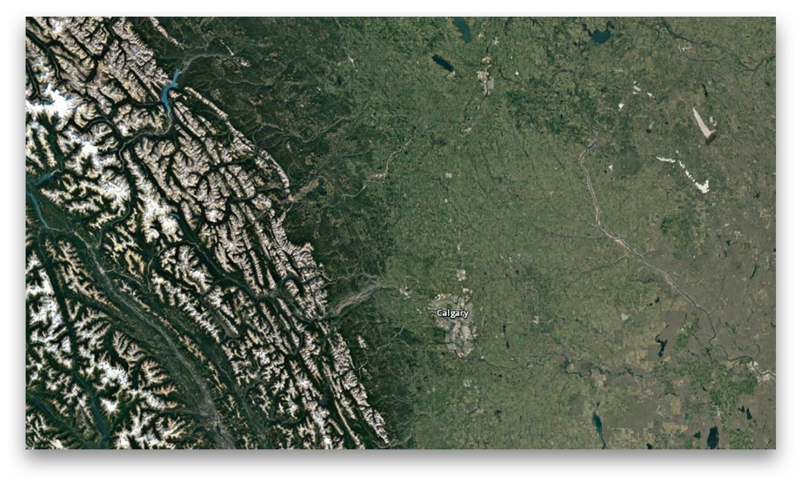
One of the most useful resources for planning any hunt is detailed satellite imagery. onX Hunt offers world-wide satellite imagery, acquired from a number of different sources, and it can be saved right onto your phone so you can view it without any cell or Wi-Fi connection. With onX on Desktop, you can even view satellite imagery on your home computer so you won’t have to do all your scouting on your phone’s small screen.
Hunting is a big part of American and Canadian culture, and as we continue to work on expanding into Canada we’ll keep in mind the factors that make Canadian hunting unique. No matter where your adventure takes you, always know where you stand with onX Hunt.
Basemaps for Hunters: Topographic, 3D, and Beyond
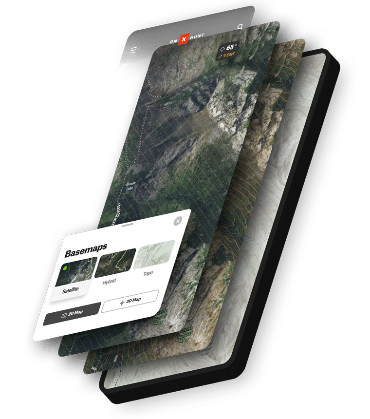
Satellite, Hybrid, and Topo Basemaps
onX Hunt provides three types of Basemaps, helping hunters understand the landscape and how to move through it. Satellite shows aerial imagery of terrain. Topographic gives a two-dimensional representation of Earth’s three-dimensional landscape. Hybrid is the perfect blend of Satellite and Topo, combining all of the advantages of topographic maps and aerial imagery to provide hunters with the most comprehensive look at the land.
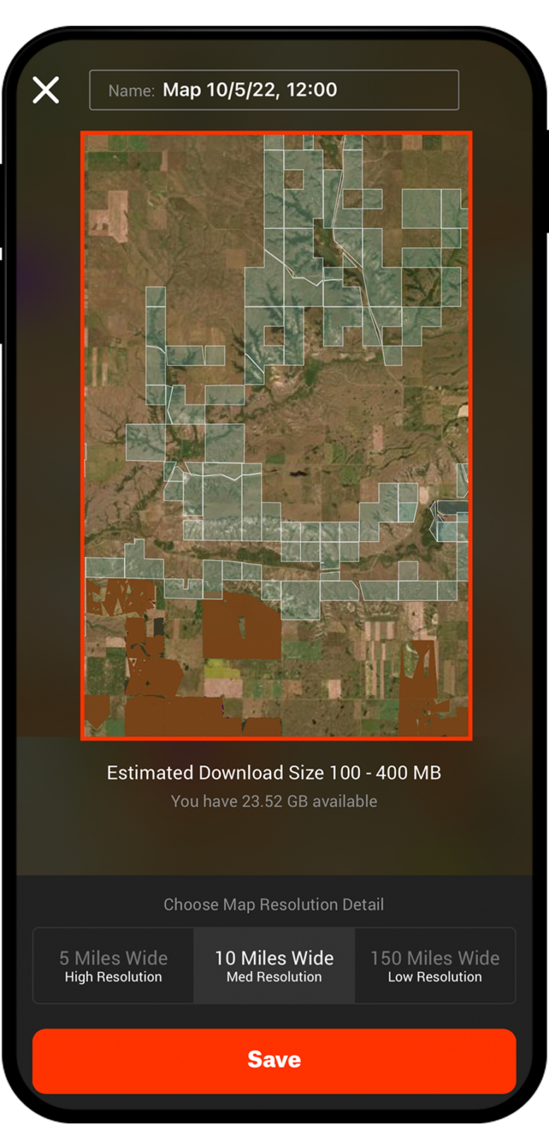
Download Offline Maps
- View previously downloaded maps and Layers without cell service
- Choose to save maps in different resolutions
- Use your phone as a GPS
Navigation Tools: Tracker and Compass
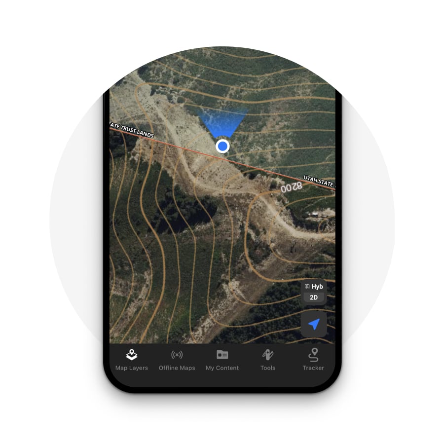

Compass in the Hunt App
Use the compass right in the onX Hunt App to find your location and orient yourself. Give the Location Button on the bottom right corner of the App one tap to center the map on your current physical location, tap twice to rotate the map in the direction you’re facing, and tap three times to rotate the map back to a north-up orientation.
![]()
Use Tracker to Mark Your Trail
The Tracker feature allows you to record your path as you travel and saves it on your map, taking the guesswork out of backtracking so you can have the confidence to explore the unknown. You’ll also see the time the trip took, as well as distance and average speed. This data is saved along with the Track and can be viewed in the My Content menu.