Overview
Known For
Maine is known for exceptional waterfowl hunting, especially for sea ducks. It’s also been one of the most-improved states for whitetail deer hunting that features five seasons and 79 days of hunting opportunity. When you include moose and black bear, hunters can get a lot from hunting in Maine.
Terrain
Maine’s terrain is heavily forested. More than four-fifths of Maine’s total land area is under forest cover. But it also features rocky coastlines, 2,300 square miles of inland water, and is the northernmost tip of the Appalachian Mountains within the United States.
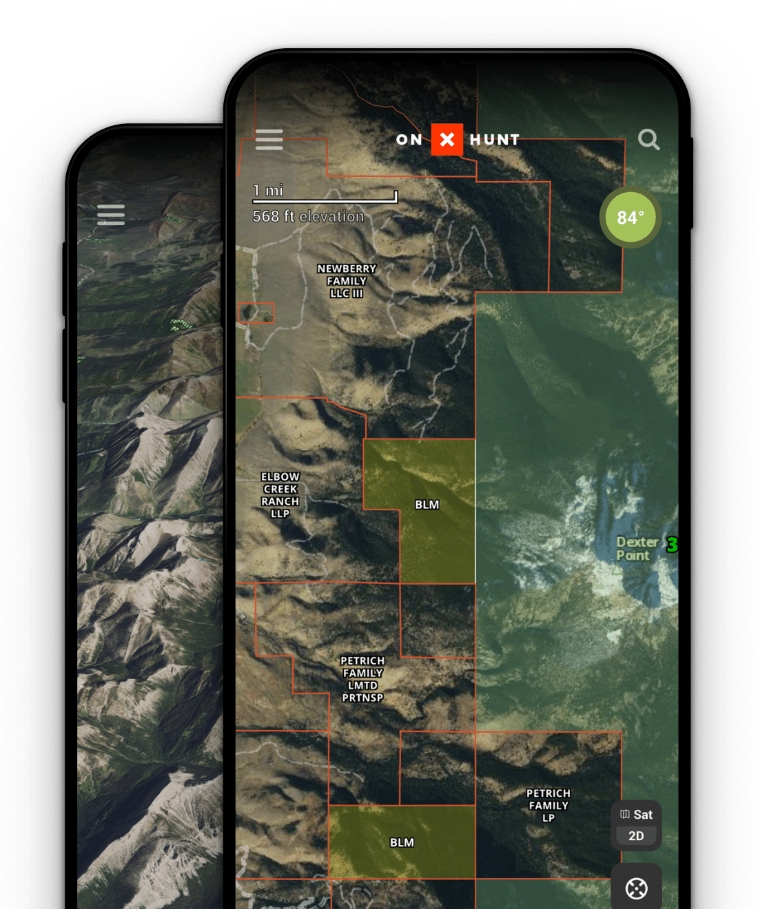
Sign up for a 7-day free trial of onX Hunt and unlock, explore, and master all the map tools and features we offer.
Maine Hunting Seasons
All WMDs
All WMDs
Daily bag limit of 6.
Statewide.
Bag limits vary by zone. Please check regulations to ensure accurate bag limits.
Bag limit: 1
Bag Limit: 1
Bag Limit: 1
Bag Limit: 1
District 1-15, 17-19, 27, 28. By permit only. Bull only.
Hunters that are issued a moose permit for the Adaptive Unit/WMD 4A moose hunt who do not harvest a moose during the first week listed on their permit may hunt in their respective zone 11/6/2023-11/11/2023.
Daily bag limit of 4.
Vinalhaven Island season closes on Feb 28th.
Districts 6-8 and 10-29.
Bag limits vary by district. Please Check Regulations to ensure proper bag limit.
May take up to 2 bearded Wild Turkeys from WMDs that have a 2 bird limit.
Maine Licenses, Permits, and Regulations
Maine hunting licenses, permits, and regulations for resident and non-resident hunters can be purchased on the official website of the Maine Department of Inland Fisheries & Wildlife. Click below to view the website.
Hunting GPS Maps
Every Maine hunter should have hunting GPS maps on hand. Maine hunting maps are available from onX Hunt. With a paid membership you can access Satellite, Topo, or Hybrid Basemaps, over which you can view maps of wildlife management districts, along with State, Forest Service, and other public and private property boundaries. You can view trails and roads, and even download maps to the Hunt App for use offline. Click below to get onX Hunt for Maine.
Wildlife Management Districts
Maine’s ability to manage its wildlife is helped by coordinating 29 Wildlife Management Districts (WMDs). Maine’s Wildlife Management Districts are defined geographical sections of the state that have biological and geophysical similarities. They are broken up by geographies, such as western mountains or down-east coastal plain, as well as by temperature ranges, human population densities, and land use. Click below to view Maine’s wildlife management districts in more detail through an interactive map.
Hunting Layers
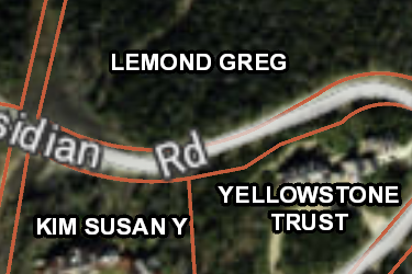
ME Private Lands
Over 650,000 parcels mapped by the onX team, this layer helps you know who the property owners are in Maine. Tap any parcel to learn more info about the owner and acreage.
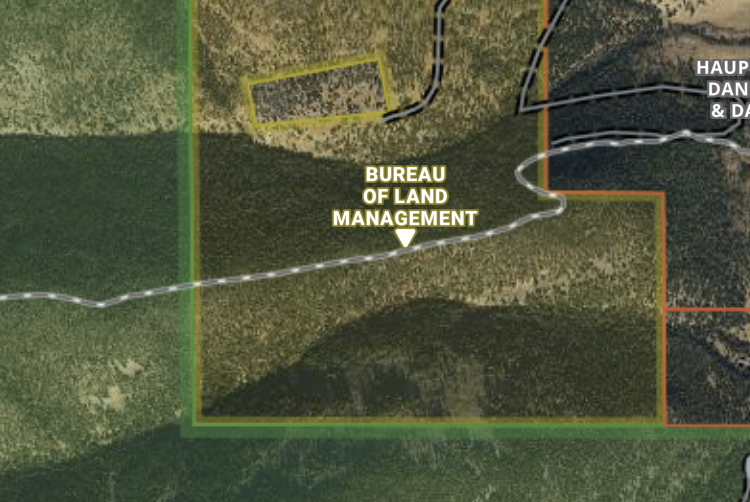
ME Gov Lands
onX has the most accurate maps of Gov Lands, covering over 1,900,000 acres in Maine. Not all Gov Lands offer access opportunities, check regulations before recreating.
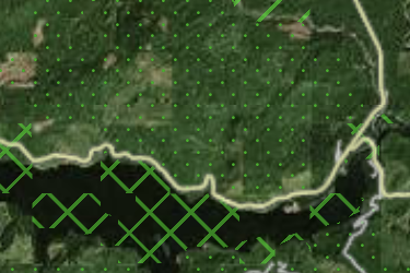
ME Possible Access
onX has mapped 270,000 acres of possible access lands in Maine including timber companies and land conservation groups. Research rules on these private lands before recreating.
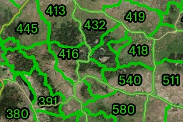
ME Hunt Areas
Maine Hunting Areas and Districts
Includes 2 Sublayers
- ME Wildlife Mgmt Districts
- Deer Expanded Archery Area
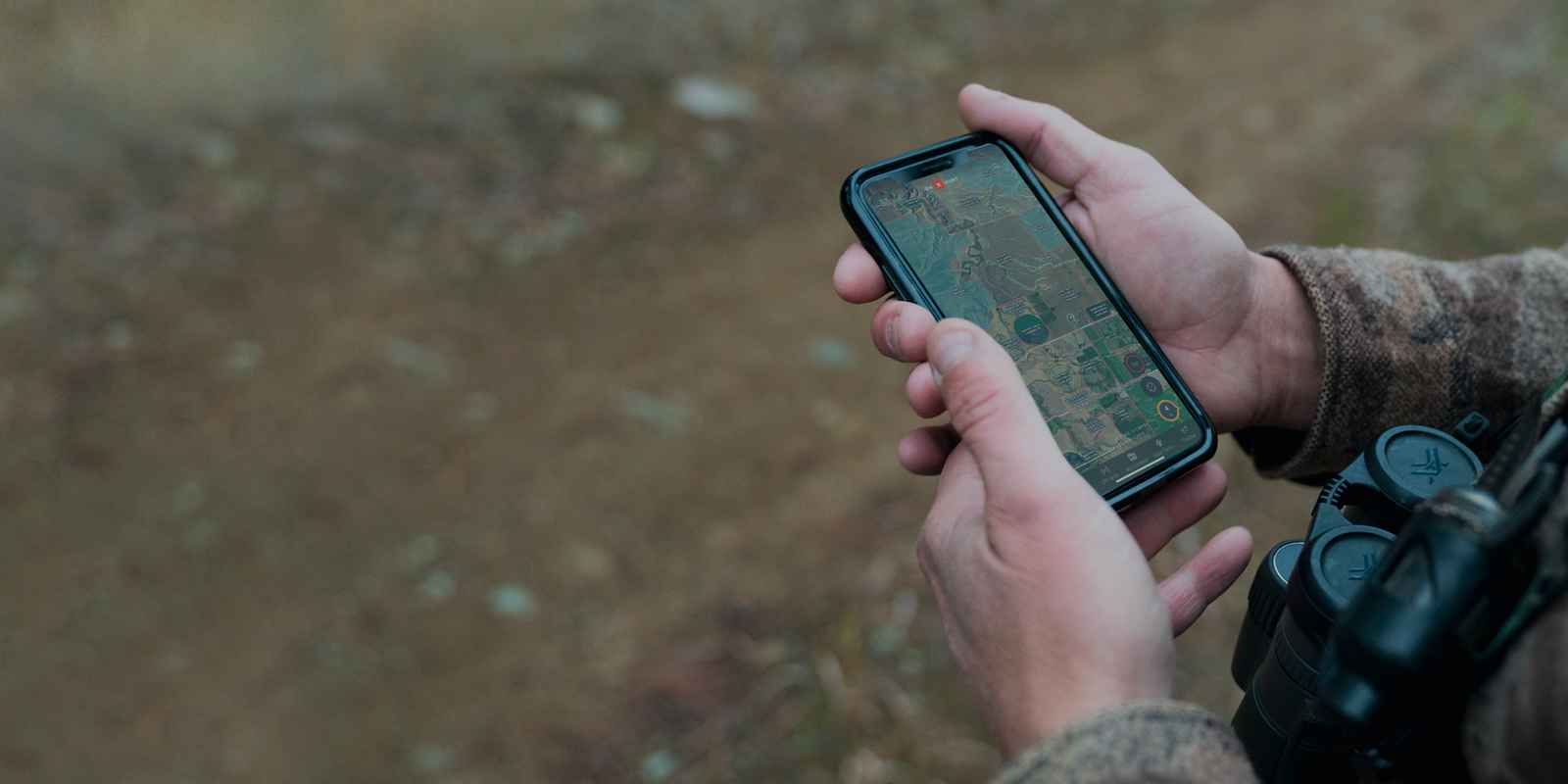

The #1 GPS Hunting App
- 975 million acres of public land
- 10,668 unique hunting units
- 421 map overlays and counting
- 5,000 game wardens approve