

onX Hunt at Western Hunting Expo
Come See Us at the Huntin’ Fool Booth – #3222
Come See Us at the Huntin’ Fool Booth – #3222
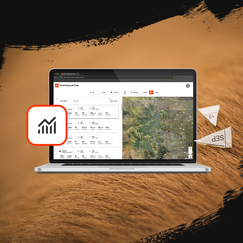
Hunt Research Tools Webinar
Sign up for our upcoming webinar on Feb 22, 2024 05:30 PM MST and learn all about our new application season tool: Hunt Research Tools.
FREE one-month Elite Trial!
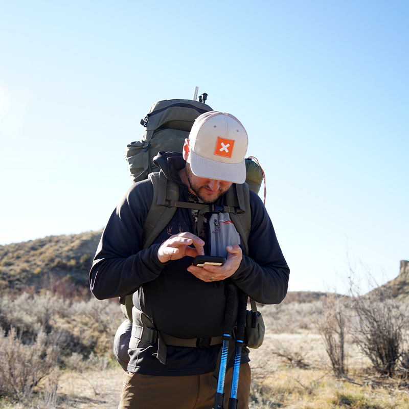
Join the millions of hunters who trust onX Hunt to help them be more successful in the field.

Schedule
- Wednesday, February 14th
- MDF Kickoff Party – 6:30 pm
- The Outpost
- MDF Kickoff Party – 6:30 pm
- Thursday, February 15th
- Exhibit Hall Hours 10 am – 7 pm
- HUSHIN Movie Night 7 pm – 10 pm
- Megaplex Theatres at the Gateway
- Friday, February 16th
- Exhibit Hall Hours 10 am – 7 pm
- Seminar with Huntin’ Fool – 3:00 pm
- Draw Strategies and OTC Hunts – Room 150-G
- Saturday, February 17th
- Exhibit Hall Hours 10 am – 7 pm
- Sunday, February 18th
- Exhibit Hall Hours 10 am – 4 pm
Your One-Stop Application Season Stop
To maximize your time spent researching and applying—and to help you build your strategy to successfully draw in 2024 and beyond—we’re providing onX Hunt Elite Members with FREE services in one comprehensive package:
- Hunt Research Tools: In-Depth Draw Odds and Application Tools
- Huntin’ Fool: Boots-on-the-Ground Research and Insight
- HuntReminder: Worry-Free Text and Email Reminder Service
- onX Hunt: Map Your Hunt With Research Layers


- Elite-Exclusive Map Tools: Plan, scout, and hunt better with TerrainX, a vast array of aerial viewing options including Recent and Leaf-Off Imagery, Routebuilder, and more.
- Pro Deals and Expert Resources: We’ve partnered with top brands to bring you discounts on the gear we use and trust.
- Maps for 50 States and Canada: The maps trusted by millions of hunters for all 50 states and Canada. Wherever you roam, onX Hunt Elite has you covered.
- Western Application Strategy: As part of your onX Hunt Elite Membership, you receive access to three industry-leading companies—Huntin’ Fool, Toprut, and HuntReminder—for free.
Key Features
Use these features to find more success.

Nationwide Public & Private Land Boundaries
Color-coded public and private land ownership boundaries allow you to quickly and easily find accessible public land, private property, and land ownership information including names and tax addresses. Learn More.
New Compass Mode
Use the Compass Mode to easily find your way back to camp in the dark, pinpoint and mark that bedded mule deer before a stalk, or mark your animal’s location after the shot for an easy and worry-free recovery hike. Learn More.

Custom Map Tools
Customizable Waypoints, Lines, and Tracks will help you map out every detail of your hunt. Whether you’re hiking to your favorite glassing point in the dark, exploring all new ground, or chasing a bugle in the dark timber the onX Hunt App has tools for every aspect of your hunt. Learn More.
3D Maps, Recent Imagery and More
Understand the lay of the land like never before with fully functional 3D maps. Use 3D exaggeration in less terrain-laden areas to easily see nuanced terrain features. On top of that, highly recent, low-resolution imagery is now also available to get an up-to-date look at the ground and vegetation across the country. Learn More.
Satellite, Topo, and Hybrid Basemaps
Understand the lay of the land like never before with high-resolution aerial imagery, the Hybrid Basemap (a combination of satellite imagery and a 1:24k topographic map), or detailed topography. Learn More.

Offline Maps
No service needed. Save detailed maps of the areas you plan to hunt to ensure you always have the tools you need at your fingertips, with or without cell phone service. Learn More.

Masterclasses
Our onX Hunt Masterclasses connect you directly with our team, our partners, and our ambassadors, so you can watch and learn in a live environment. This unique setting unlocks a whole new way of learning, giving you the confidence and tools you need to be a better hunter.