Off-Road Trails in Arizona

Discover off-road trails in Arizona

Learn more about Lucky 7 Run
Lucky 7 Run

Lucky 7 Run

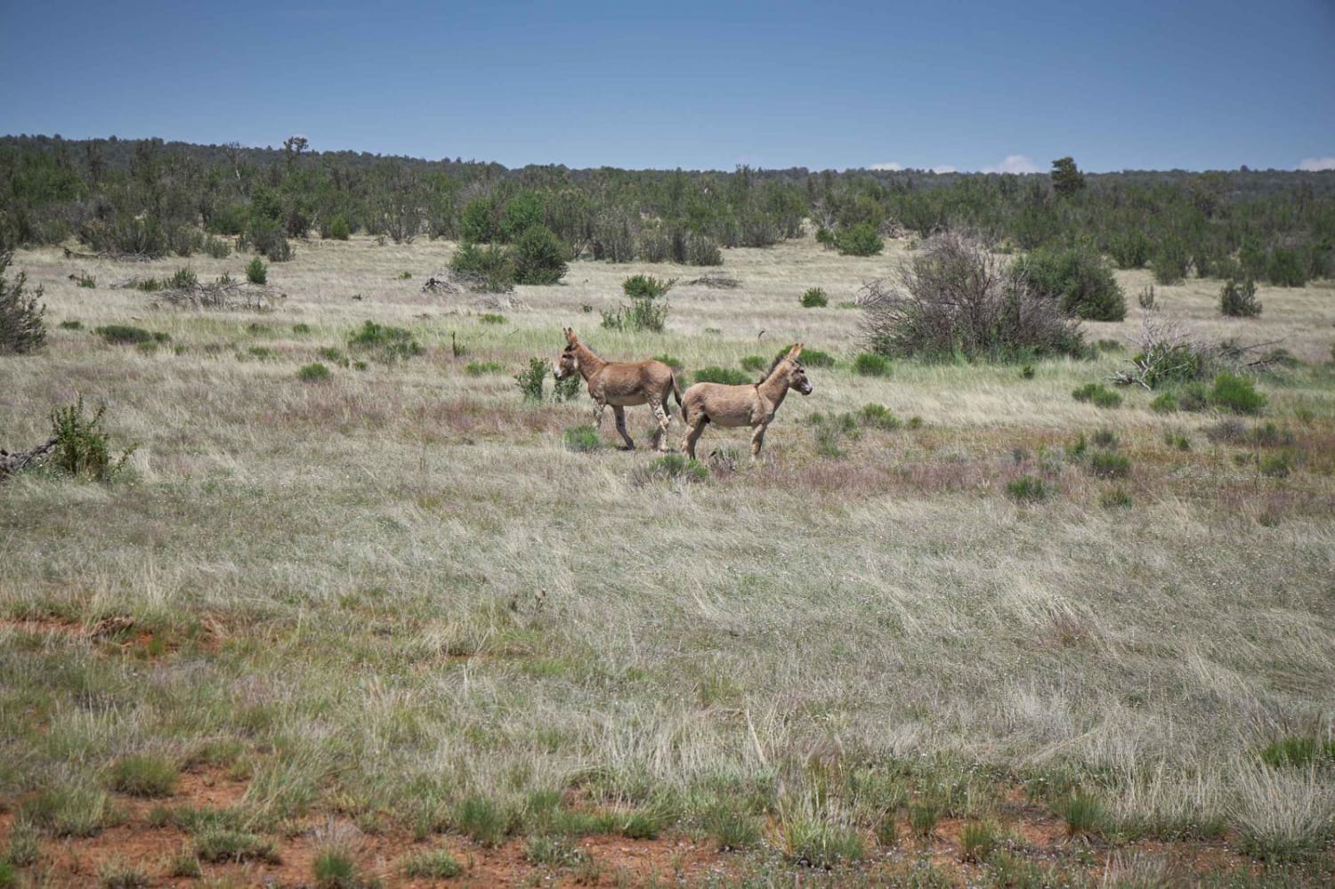
The Lucky 7 Run starts at a cool railroad tunnel and heads North, out into the Kaibab National Forest. In this forest of mixed pine and Juniper Trees, you'll find that the trail meanders and…
Learn more about Lucky 7 Run
Total Miles
6.8
Tech Rating
2 Easy
Best Time
Spring, Summer, Fall
Learn more about Maggie May's Way
Maggie May's Way

Maggie May's Way

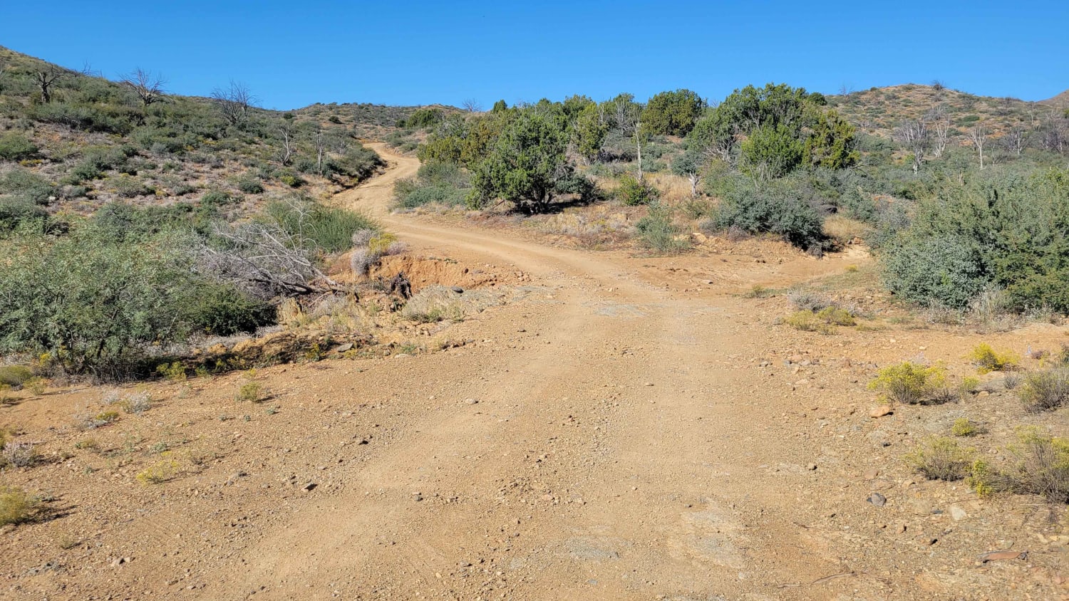
This out-and-back offshoot leads to a fun area with a handful of both easy and advanced trails. This particular trail is not very technical itself, although water erosion on or next to the trail is…
Learn more about Maggie May's Way
Total Miles
1.6
Tech Rating
3 Easy
Best Time
Spring, Summer, Fall, Winter
Learn more about Maggie Mine
Maggie Mine

Maggie Mine

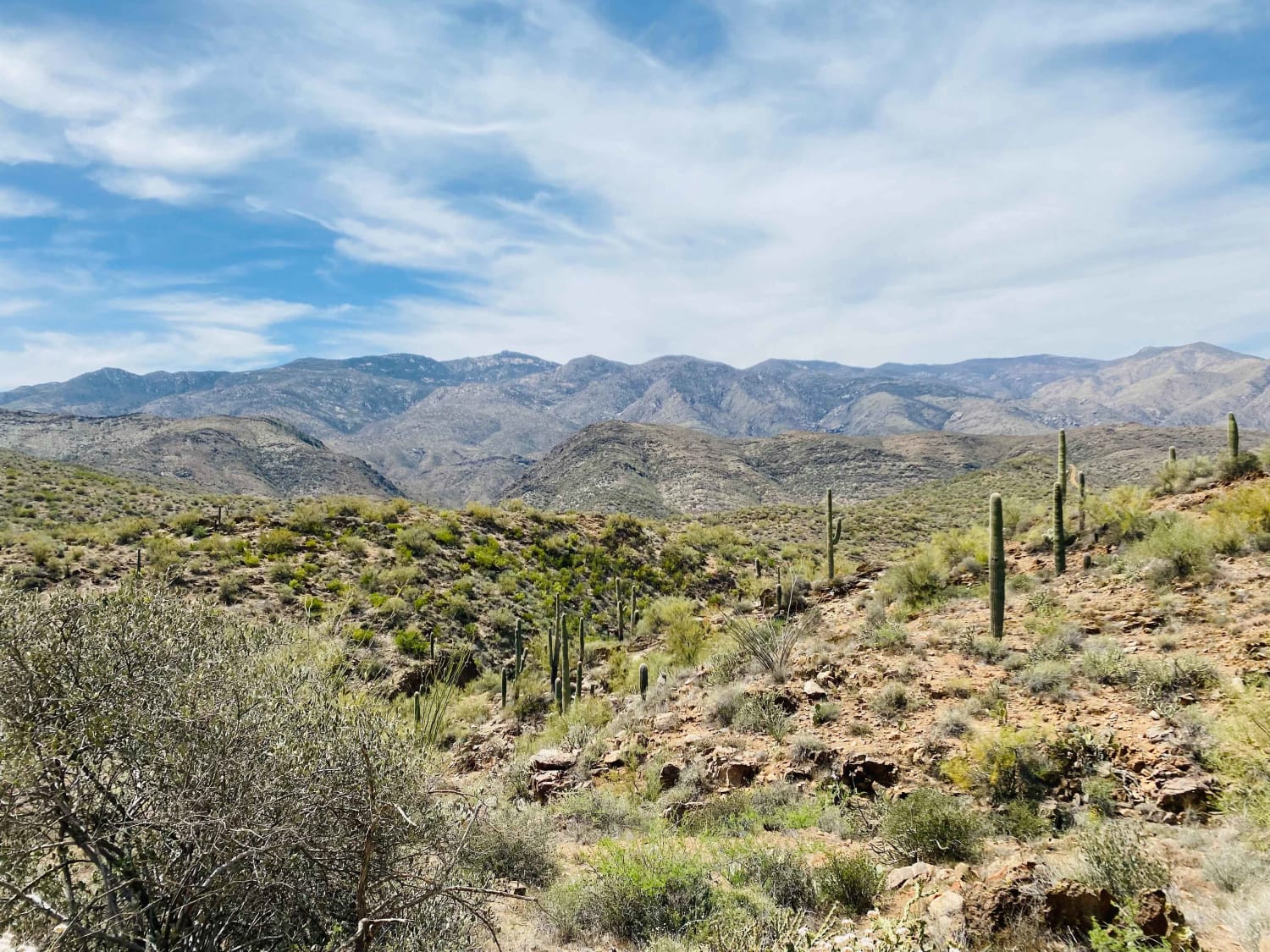
Very scenic trail in the foothills of the Bradshaw Mountains. Although not far from the highway and Black Canyon City, this route feels isolated and offers a chance to spot wildlife, beautiful desert plant life,…
Learn more about Maggie Mine
Total Miles
6.7
Tech Rating
3 Easy
Best Time
Spring, Fall, Winter
Learn more about Maggie Slot Canyon
Maggie Slot Canyon

Maggie Slot Canyon

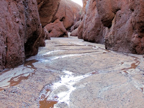
This is a beautiful trip--wow! Drive a 3-mile slot canyon and hike 2 narrow slot canyons off to the sides of the driveable one. This canyon is a long way from anywhere but do not…
Learn more about Maggie Slot Canyon
Total Miles
62.7
Tech Rating
4 Moderate
Best Time
Summer, Fall
Learn more about Maple Canyon to Stone Cabin (Black Rock Rd 1004)
Maple Canyon to Stone Cabin (Black Rock Rd 1004)

Maple Canyon to Stone Cabin (Black Rock Rd 1004)

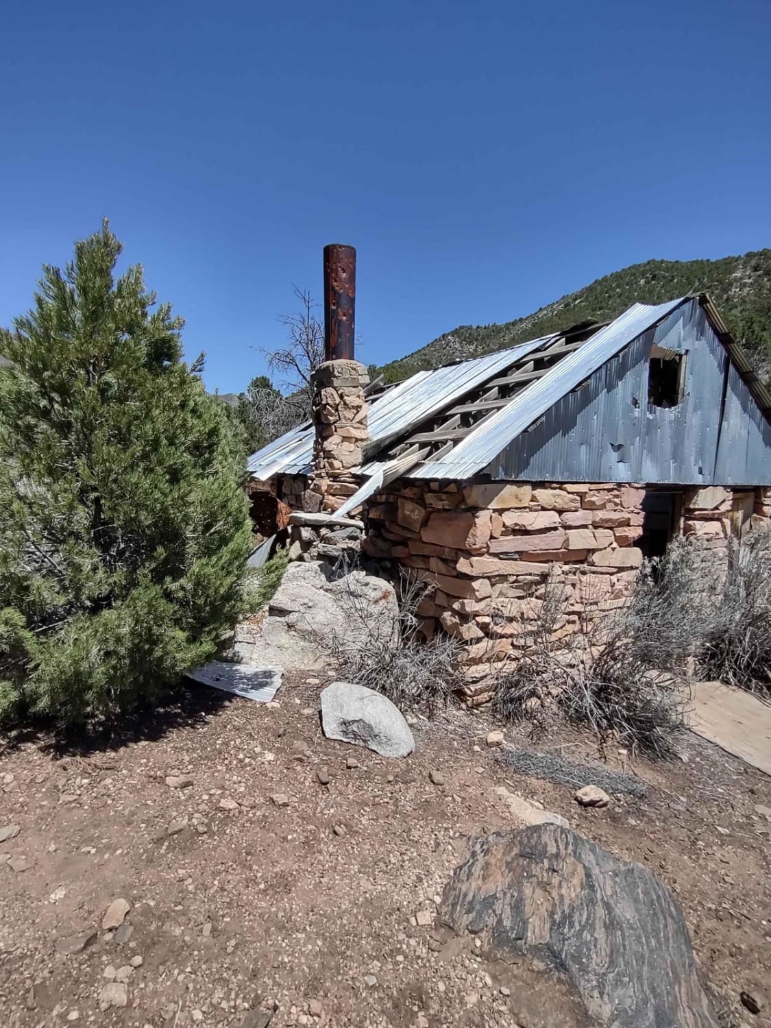
This trail climbs 2000 feet in elevation, as you move across the Grand Canyon-Parashant National Monument and through the Paiute Wilderness towards Black Rock Mountain, elevation 7365 feet. After crossing the top of the mountains,…
Learn more about Maple Canyon to Stone Cabin (Black Rock Rd 1004)
Total Miles
13.3
Tech Rating
2 Easy
Best Time
Spring, Summer, Fall
Learn more about Marble Viewpoint/Marble Canyon Overlook
Marble Viewpoint/Marble Canyon Overlook

Marble Viewpoint/Marble Canyon Overlook

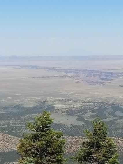
This is a single-lane gravel road that is rated as a class 2. A straight flat road leads out to a finger that is flat and with dispersed camping that has shaded trees during those…
Learn more about Marble Viewpoint/Marble Canyon Overlook
Total Miles
4.6
Tech Rating
2 Easy
Best Time
Spring, Summer, Fall
Learn more about March's Highlight
March's Highlight

March's Highlight

The south end of March's Highlight boasts a large open grassy area, no doubt the flood plain for Martinez Creek. The creek itself is a fun little area of deep sand wash that will be…
Learn more about March's Highlight
Total Miles
3.9
Tech Rating
2 Easy
Best Time
Spring, Summer, Fall
Learn more about Margie's Cove Trail
Margie's Cove Trail

Margie's Cove Trail

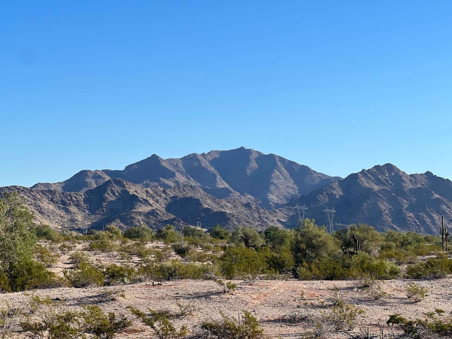
Margie's Cove Trail skirts the south side of Margie's Peak, splitting the Sonoran Desert National Monument and North Maricopa Wilderness. The trail is mostly a rutted dirt track with long stretches of soft sand. You…
Learn more about Margie's Cove Trail
Total Miles
5.6
Tech Rating
3 Easy
Best Time
Spring, Fall, Winter
Learn more about Marshall Lake Road
Marshall Lake Road

Marshall Lake Road

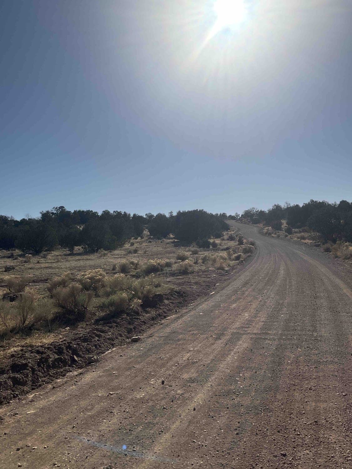
This road/trail starts out easy on black top, then chip n seal, then washboard red dusty dirt. From there, it gets rocky, and is slow. There are all kinds of offshoots and camps along the…
Learn more about Marshall Lake Road
Total Miles
13.9
Tech Rating
3 Easy
Best Time
Spring, Summer, Fall
Learn more about Marshmallow Canyon-BLM2003
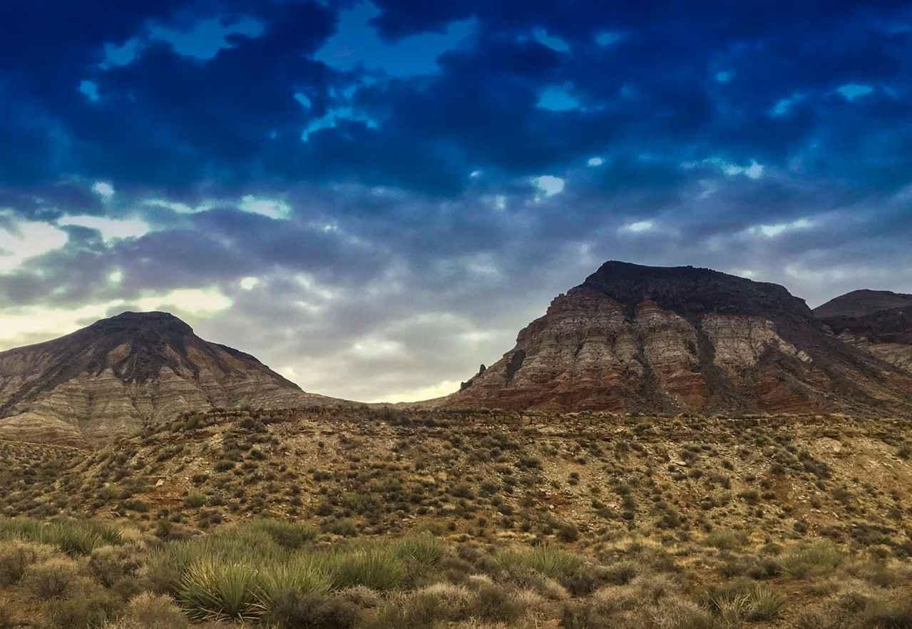
Marshmallow Canyon-BLM2003

Marshmallow Canyon-BLM2003

Marshmallow Canyon-BLM2003 is a 2-mile fairly level dirt and rock trail. This trail has a rating of 3 of 10 due to one major rock obstacle along the track. Marshmallow Canyon provides scenic views of…
Learn more about Marshmallow Canyon-BLM2003
Total Miles
2.2
Tech Rating
3 Easy
Best Time
Spring, Summer, Fall, Winter
Learn more about Marteen Dam
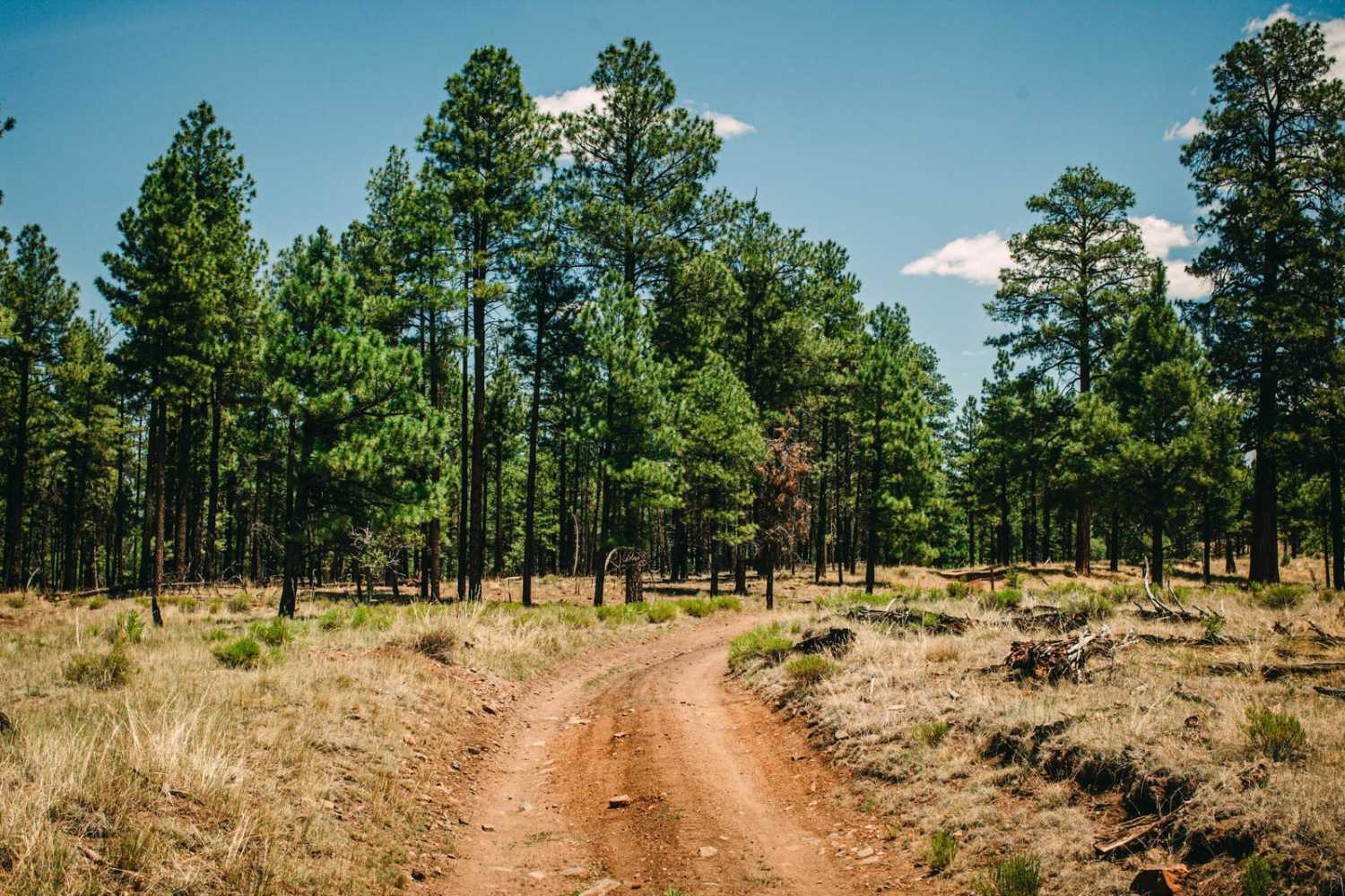
Marteen Dam

Marteen Dam

Marteen Dam is a single-lane dirt track that runs through the Ponderosa Pines of this section of the Kaibab National Forest. As is typical of this area, erosion and water damage have shaped this trail…
Learn more about Marteen Dam
Total Miles
3.2
Tech Rating
2 Easy
Best Time
Spring, Summer, Fall
Learn more about Martinez Creek North
Martinez Creek North

Martinez Creek North

Martinez Creek North is a sandy wash run that is pretty typical of the washes in the area. Fast and smooth with deep sand, this wash winds through the rough area that is Arizona State…
Learn more about Martinez Creek North
Total Miles
3.1
Tech Rating
2 Easy
Best Time
Spring, Summer, Fall
Learn more about Mary's Dinner
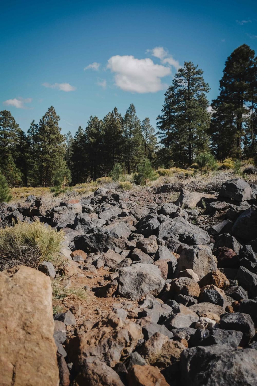
Mary's Dinner

Mary's Dinner

Mary's Dinner is a 2-mile single-track offshoot from the Airport Trail that goes through a technical rock garden. It starts at the Fay Ridge Trailhead and is a completely optional trail since it spurs off…
Learn more about Mary's Dinner
Total Miles
1.8
Tech Rating
6 Moderate
Best Time
Spring, Summer, Fall
Learn more about McCabe Mine & Cemetery Loop
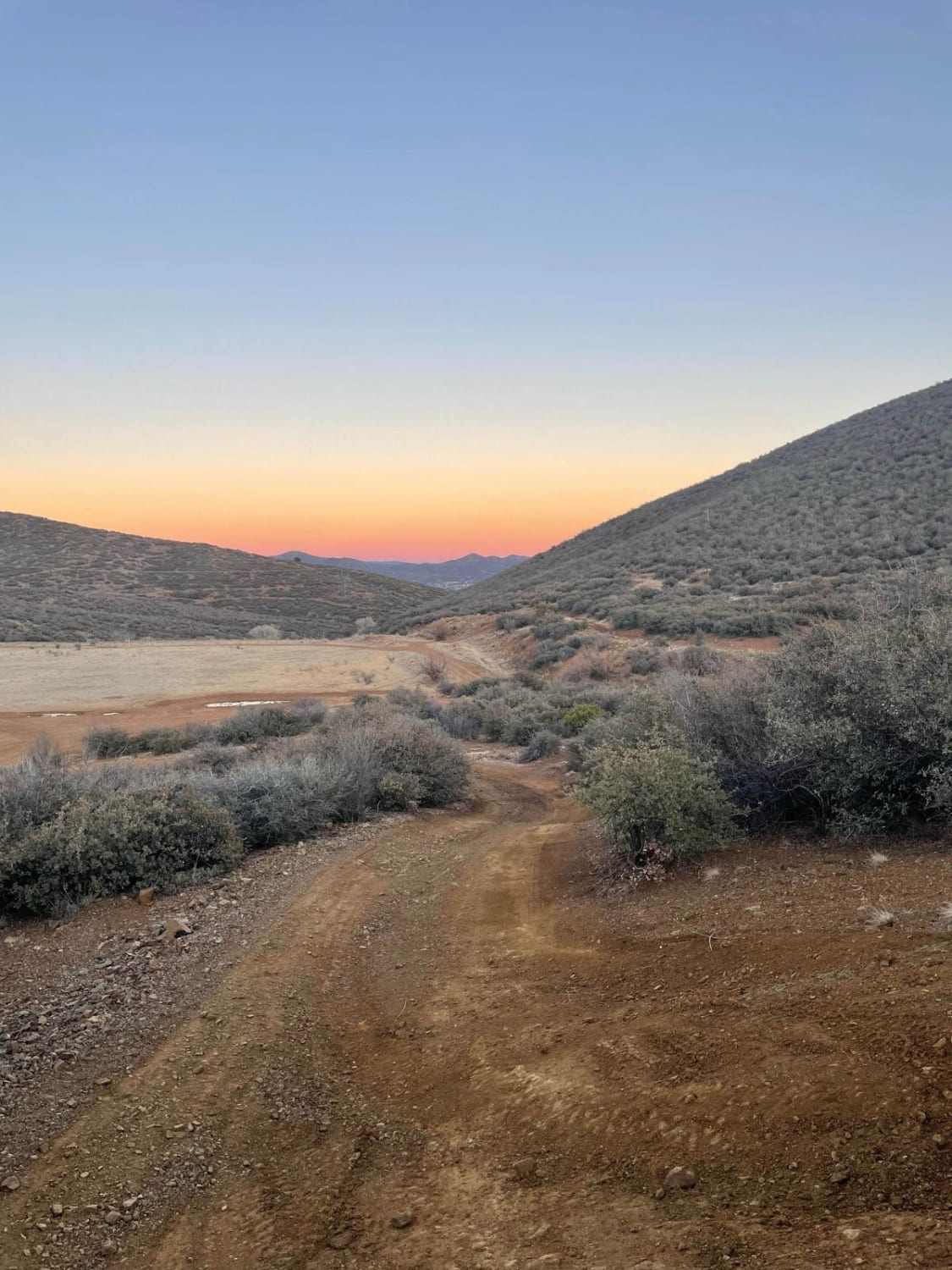
McCabe Mine & Cemetery Loop

McCabe Mine & Cemetery Loop

The trail starts off as an easy semi-maintained trail until the 3.5-mile mark. After that, this trail becomes rutted and eroded in many spots. Keep an eye out for the McCabe Cemetery marker on your…
Learn more about McCabe Mine & Cemetery Loop
Total Miles
4.6
Tech Rating
4 Moderate
Best Time
Spring, Summer, Fall, Winter
Learn more about McCraken Rockhouse Cabin
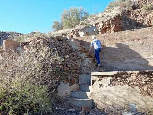
McCraken Rockhouse Cabin

McCraken Rockhouse Cabin

This is a short trail that is a long way from anywhere - along the south part of Alamo Road. It can be reached from Parker via Planet Ranch to Alamo Road, and from Lake…
Learn more about McCraken Rockhouse Cabin
Total Miles
57.2
Tech Rating
5 Moderate
Best Time
Summer, Fall
Learn more about McGuffie Cabin
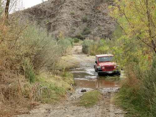
McGuffie Cabin

McGuffie Cabin

A spur of the Arizona Peace Trail, McGuffy Cabin trail is a short but rewarding route. The trail starts off of County Highway 15 and as a narrow gravel road. The trail continues to the…
Learn more about McGuffie Cabin
Total Miles
23.0
Tech Rating
4 Moderate
Best Time
Summer, Fall, Spring, Winter
Learn more about McGuffy Cabin Trail
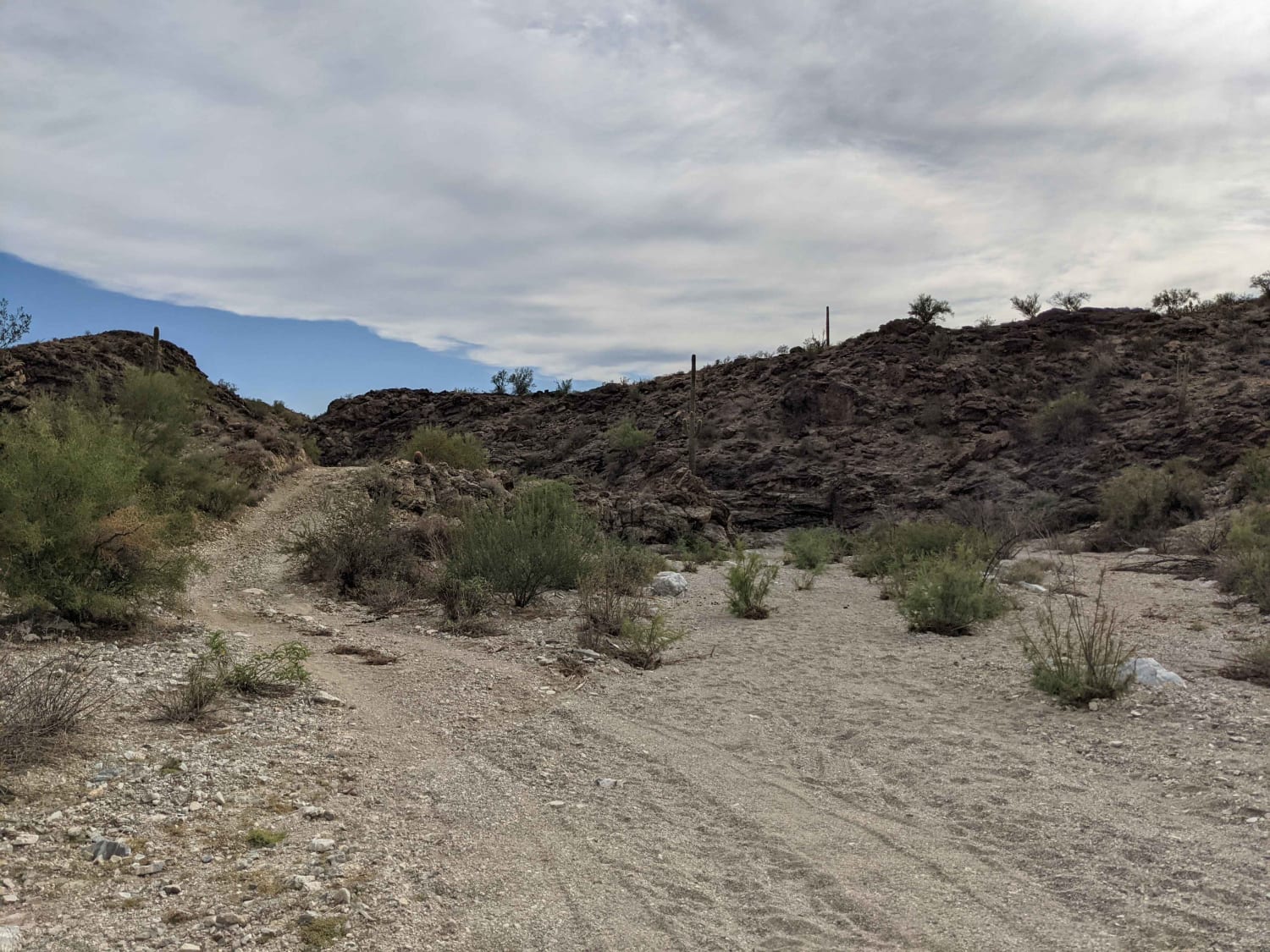
McGuffy Cabin Trail

McGuffy Cabin Trail

A spur off the Arizona Peace Trail, McGuffy Cabin trail is a short but rewarding route. The trail starts off of County Highway 15 and as a narrow gravel road. The trail continues to the…
Learn more about McGuffy Cabin Trail
Total Miles
5.0
Tech Rating
4 Moderate
Best Time
Spring, Fall, Winter
Learn more about McHeffy Wash
McHeffy Wash

McHeffy Wash

McHeffy Wash is an out-and-back wash trail that leads to the edge of the Warm Springs Wilderness, gaining its name from the McHeffy Butte that it parallels to the south. The distance is 3.5 miles…
Learn more about McHeffy Wash
Total Miles
3.3
Tech Rating
4 Moderate
Best Time
Spring, Summer, Fall, Winter
Learn more about McNary Mine Road
McNary Mine Road

McNary Mine Road

McNary Mine is an interesting road with obstacles. It has access from pavement, in a rural neighborhood, on the South end. This drops you into a sandy wash for a bit, with large areas of…
Learn more about McNary Mine Road
Total Miles
3.9
Tech Rating
5 Moderate
Best Time
Spring, Summer, Fall
Learn more about Meander Along
Meander Along

Meander Along

This route meanders through the desert past a couple of cattle tanks with curious bovines wondering if you'll throw feed out for them. There is access to this trail from Highway 60 with a nice,…
Learn more about Meander Along
Total Miles
4.1
Tech Rating
2 Easy
Best Time
Spring, Fall, Winter

The onX Offroad Difference

onX Offroad combines trail photos, descriptions, difficulty ratings, width restrictions, seasonality, and more in a user-friendly interface. Available on all devices, with offline access and full compatibility with CarPlay and Android Auto. Discover what you’re missing today!