Off-Road Trails in Nevada

Discover off-road trails in Nevada

Learn more about Masonic Mine
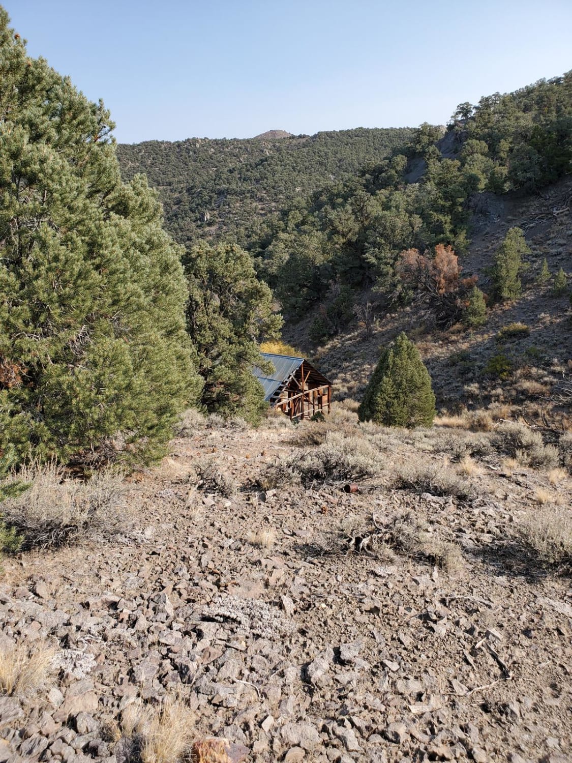
Masonic Mine

Masonic Mine

Ground clearance isn't much of a concern, but there are a lot of sharp rocks, so passenger car tires will not do. This is a good side trip to other trails in the area. Vehicles…
Learn more about Masonic Mine
Total Miles
8.6
Tech Rating
2 Easy
Best Time
Spring, Summer, Fall
Learn more about Matterhorn Trail
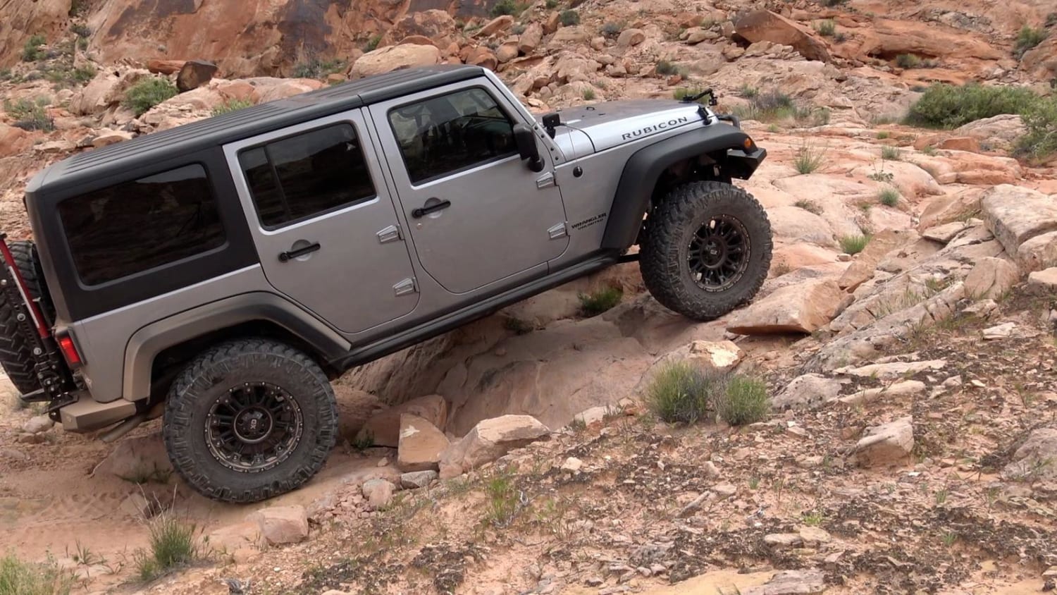
Matterhorn Trail

Matterhorn Trail

Matterhorn is a fun but short trail in the Logandale Trail System. It is most often run north to south as part of the Weiser Valley Trail, but can be run either way. It is…
Learn more about Matterhorn Trail
Total Miles
1.4
Tech Rating
7 Difficult
Best Time
Spring, Summer, Fall, Winter
Learn more about McAfee Rd.
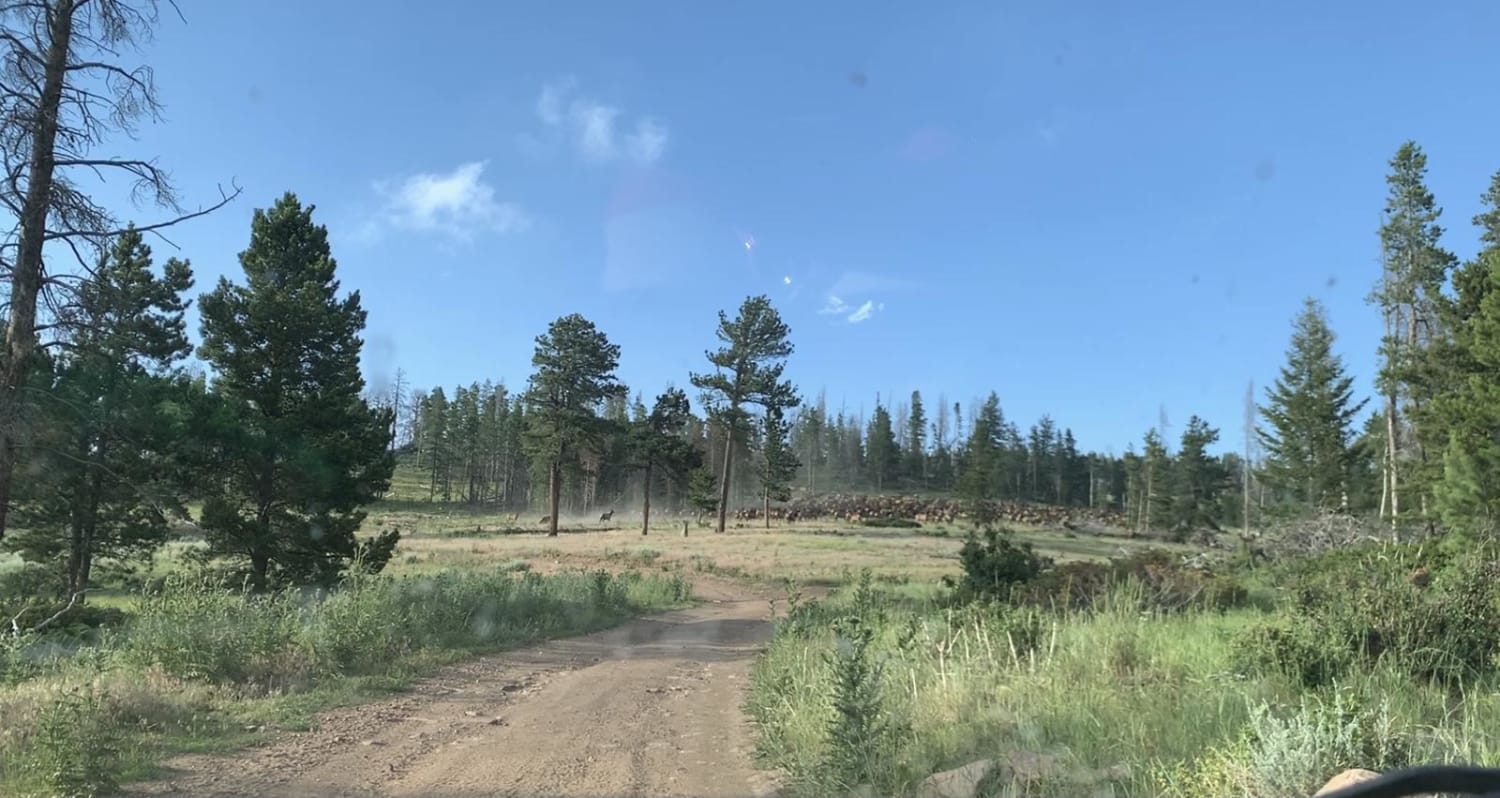
McAfee Rd.

McAfee Rd.

Route starts at Fish Lake Hot Springs which has camps and a vault toilet. Area is patrolled by the sheriff, which is nice due to the high traffic at the springs. McAfee Road is not…
Learn more about McAfee Rd.
Total Miles
53.0
Tech Rating
4 Easy
Best Time
Spring, Summer, Fall
Learn more about Mead Davis Power Road
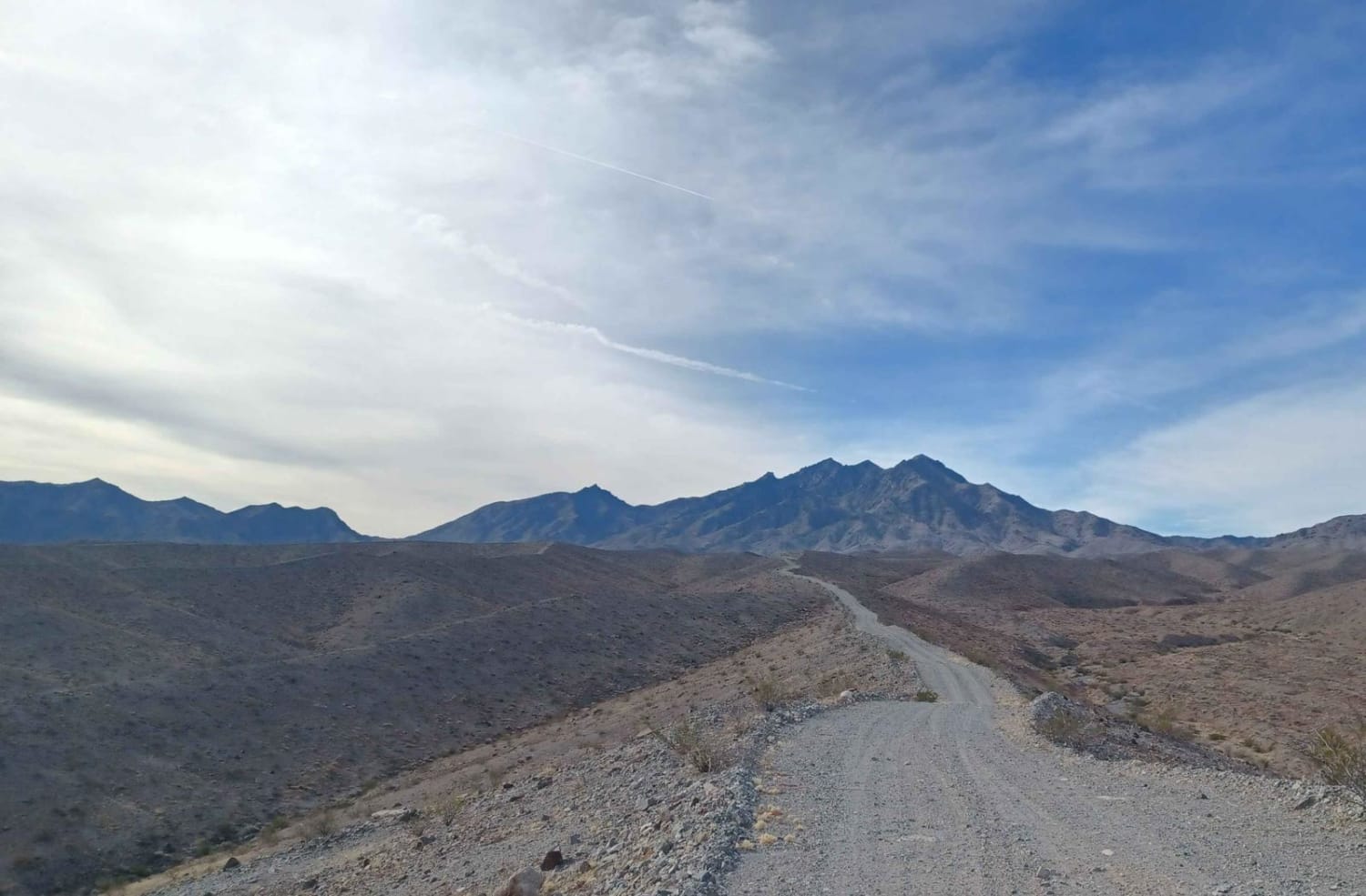
Mead Davis Power Road

Mead Davis Power Road

Mead Davis Power Road is a rocky, dusty, sandy, rutted, washed-out road. Some sections require a short wheelbase high clearance vehicle, otherwise, its an easy road 4x4 is highly recommended. There is a chance for…
Learn more about Mead Davis Power Road
Total Miles
38.7
Tech Rating
3 Easy
Best Time
Spring, Summer, Fall, Winter
Learn more about Mead Davis Powerline Road
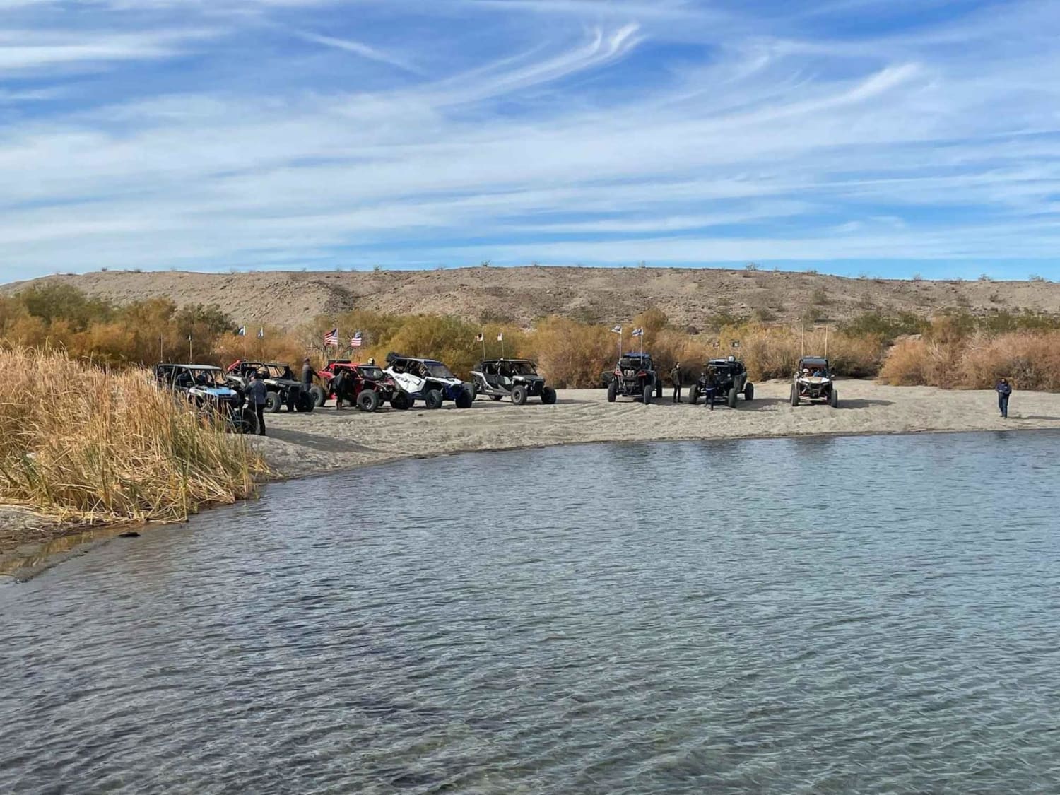
Mead Davis Powerline Road

Mead Davis Powerline Road

The first half of the trail is hard pack dirt with rutted areas and uneven grades, single-car wide. The second half of the trail is washes with two-car wide areas most of the way and…
Learn more about Mead Davis Powerline Road
Total Miles
13.8
Tech Rating
3 Easy
Best Time
Spring, Fall, Winter
Learn more about Mesa Straightaway
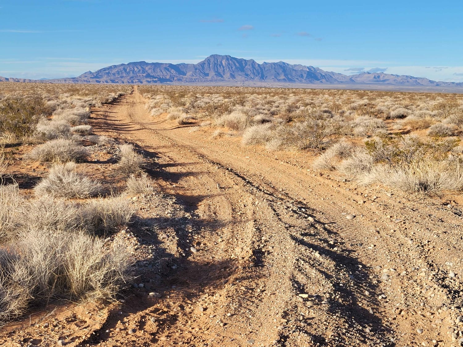
Mesa Straightaway

Mesa Straightaway

This trail cuts straight across the Mormon Mesa, connecting to several other trails in the area. It's one of the more well-defined paths, but there are a handful of others nearby as well. The trail…
Learn more about Mesa Straightaway
Total Miles
2.9
Tech Rating
2 Easy
Best Time
Spring, Summer, Fall, Winter
Learn more about Mesquite American Flag Overlook
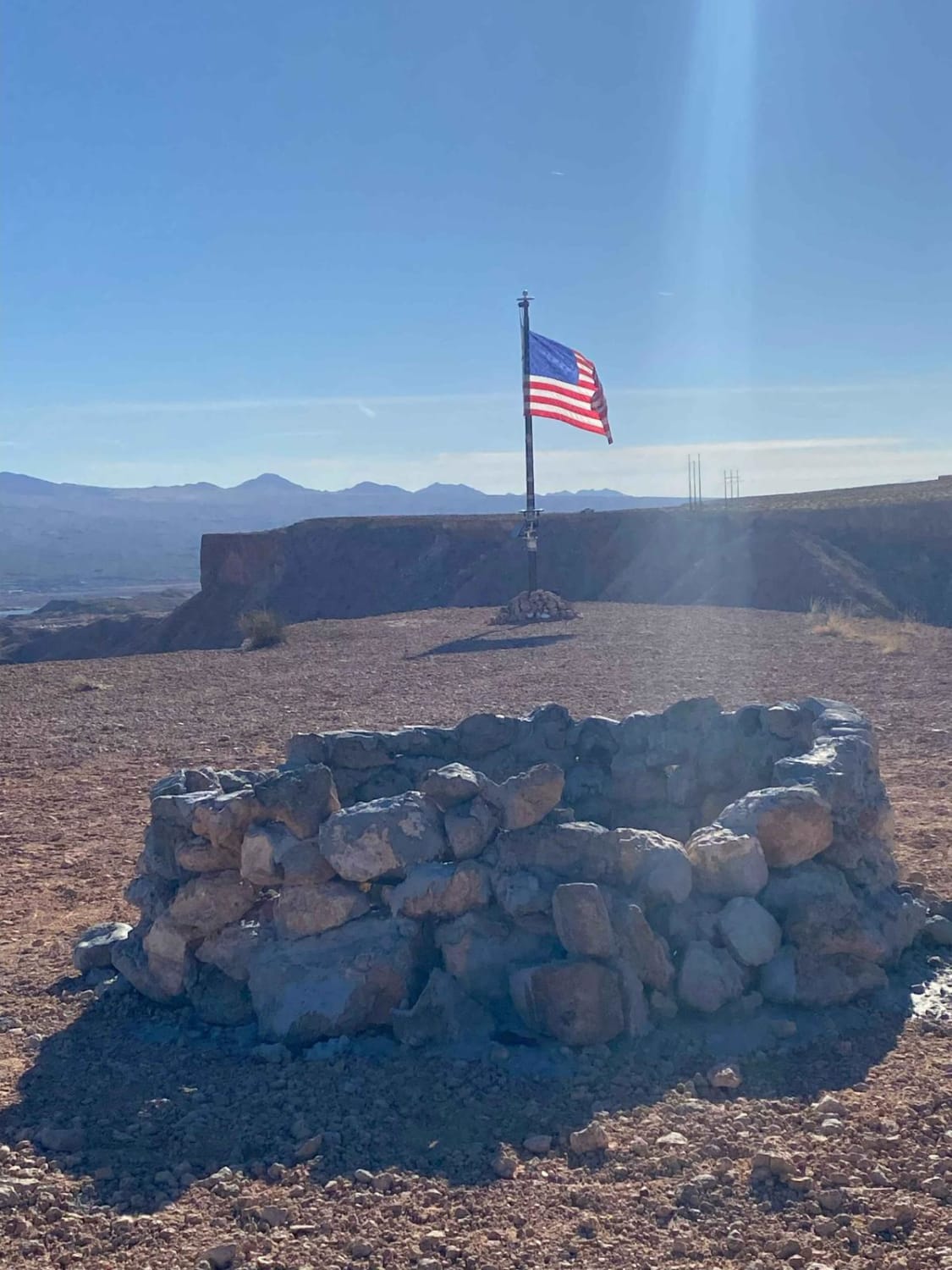
Mesquite American Flag Overlook

Mesquite American Flag Overlook

This short trip offers great views of Mesquite, Nevada, and Scenic, Arizona. Behind these towns, you will see Virgin Peak and much of the Virgin River. There is a bench along the way to sit…
Learn more about Mesquite American Flag Overlook
Total Miles
0.5
Tech Rating
2 Easy
Best Time
Fall, Winter, Spring, Summer
Learn more about Microwave Road FS 42192
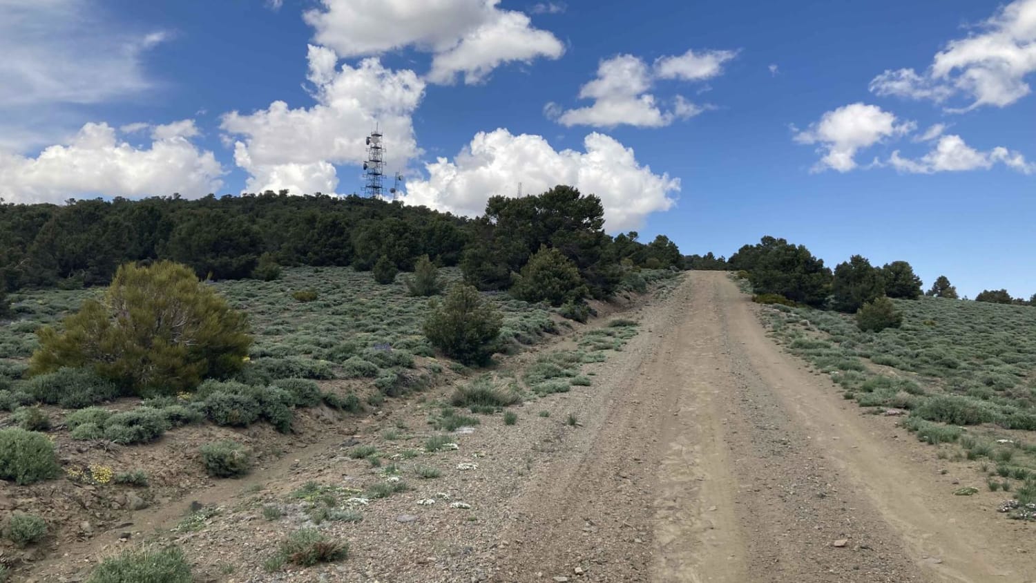
Microwave Road FS 42192

Microwave Road FS 42192

Incredible vistas and solitude are the rewards for choosing Microwave Road. It is passenger car friendly and rated an Easy1. Microwave Road is a wide well-maintained gravel road that allows two cars to pass. Located…
Learn more about Microwave Road FS 42192
Total Miles
17.1
Tech Rating
1 Easy
Best Time
Spring, Summer, Fall
Learn more about Mid Basin Cove
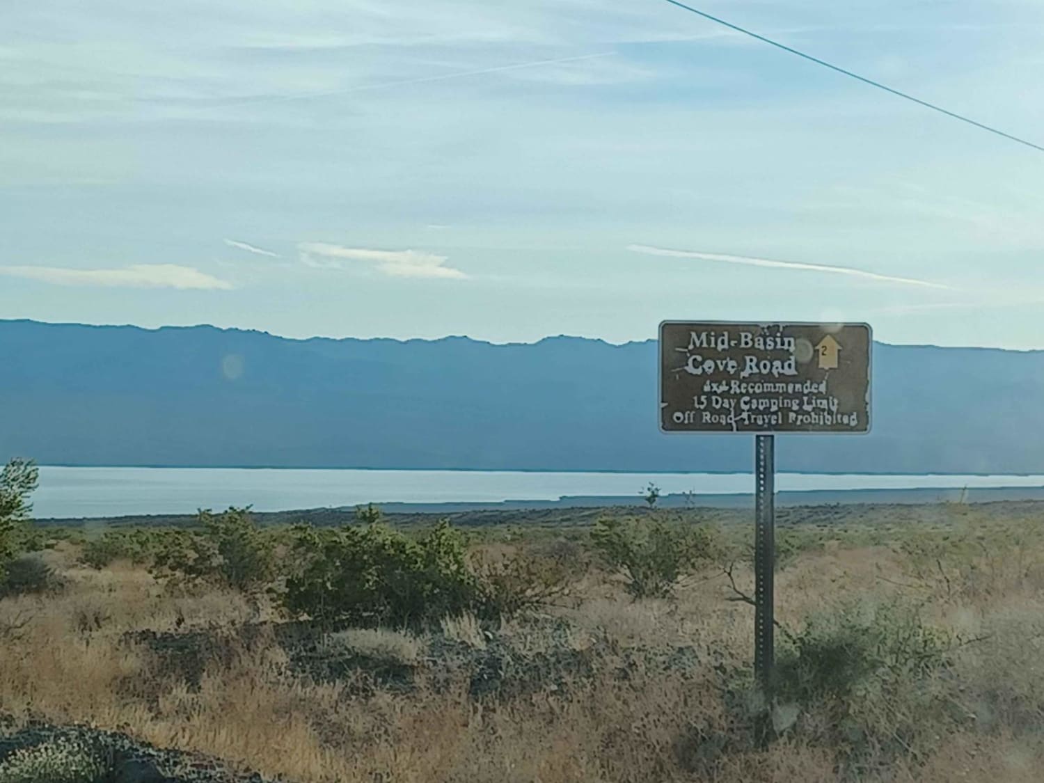
Mid Basin Cove

Mid Basin Cove

Mid-Basin Cove road is an easy road but can be loose sand in sections, 4x4 is recommended, in the rainy season this area is prone to flash floods. It runs through Lake Mead National Recreation…
Learn more about Mid Basin Cove
Total Miles
3.6
Tech Rating
1 Easy
Best Time
Spring, Summer, Fall, Winter
Learn more about Middle Elk Meadow Connector Trail
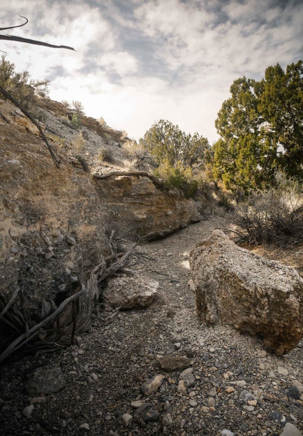
Middle Elk Meadow Connector Trail

Middle Elk Meadow Connector Trail

This is a short connector trail to connect Wheeler Wash to the Middle Elk Meadow single-track trail. It is mostly an easy and smooth gravel wash, with no difficult obstacles. It is a scenic trail…
Learn more about Middle Elk Meadow Connector Trail
Total Miles
1.0
Tech Rating
2 Easy
Best Time
Winter
Learn more about Middle Elk Meadow Part 1
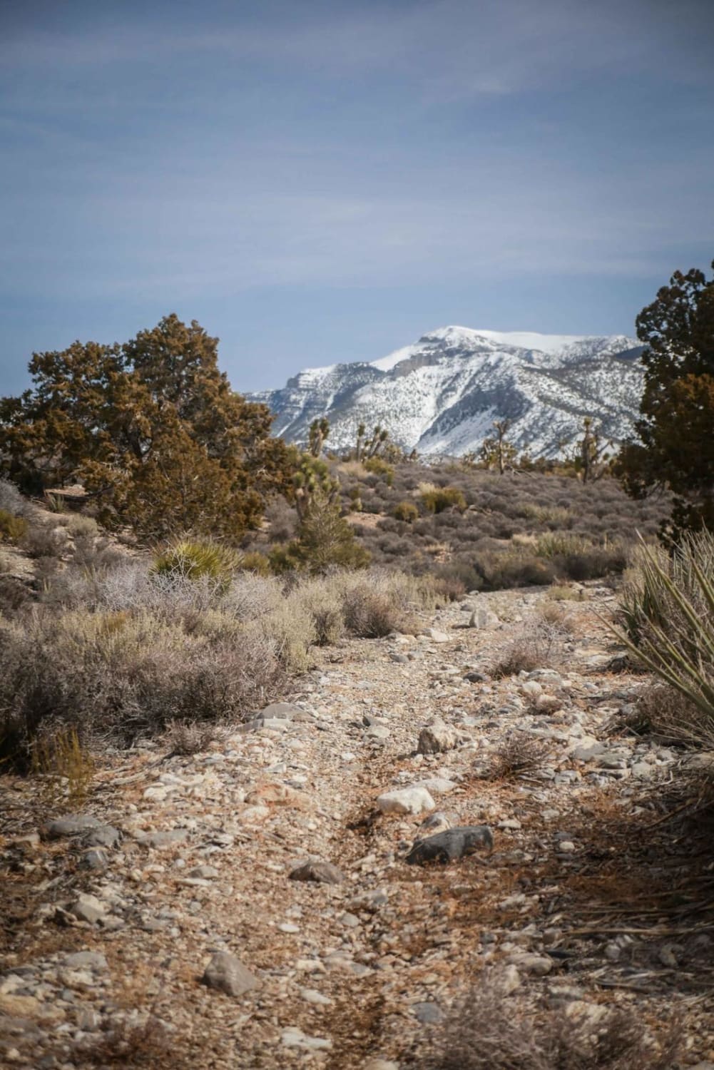
Middle Elk Meadow Part 1

Middle Elk Meadow Part 1

This is an easy wash trail on Pahrump BLM land. It's a mix of a wide gravel wash and a wide dirt trail. It's consistently easy the whole way with no obstacles except for a…
Learn more about Middle Elk Meadow Part 1
Total Miles
2.0
Tech Rating
2 Easy
Best Time
Winter
Learn more about Middle Elk Meadow Part 2
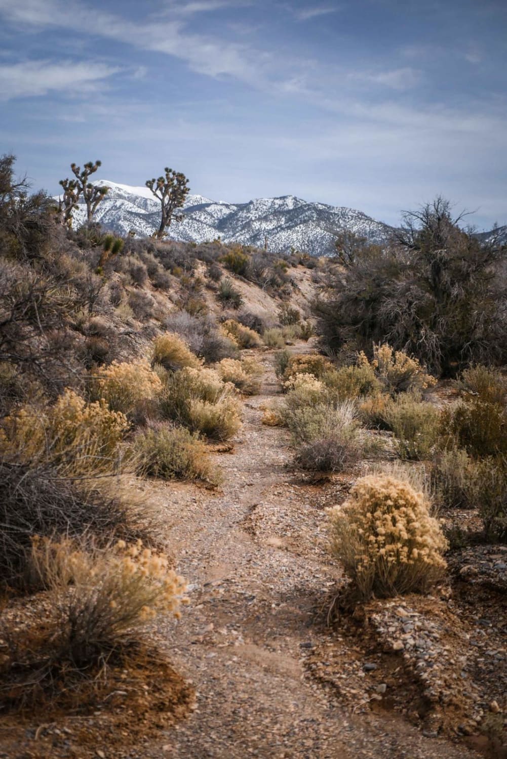
Middle Elk Meadow Part 2

Middle Elk Meadow Part 2

This section of the Middle Elk Meadow Trail is slightly more difficult than Part 1 due to a rockier surface, some small washouts, and lots of really low branches to watch out for sticking out…
Learn more about Middle Elk Meadow Part 2
Total Miles
1.7
Tech Rating
3 Easy
Best Time
Winter
Learn more about Middle Silver State Trail to OHV Marker
Middle Silver State Trail to OHV Marker

Middle Silver State Trail to OHV Marker

A middle section of the Stunning Silver State Trail. This trail has a ton of history and goes on in a network of trails for over 260 miles. This section passes through a dense forest…
Learn more about Middle Silver State Trail to OHV Marker
Total Miles
6.7
Tech Rating
2 Easy
Best Time
Fall, Summer, Spring
Learn more about Midnight Wash - Jenny Mine Road
Midnight Wash - Jenny Mine Road

Midnight Wash - Jenny Mine Road

Midnight Wash - Jenny Mine Road is a 2.4-mile point-to-point trail rated 3 of 10 located in Lincoln County, Nevada, and Iron County, Utah. The road crosses Buck Mountain and passes several of the major…
Learn more about Midnight Wash - Jenny Mine Road
Total Miles
2.4
Tech Rating
3 Easy
Best Time
Spring, Summer, Fall, Winter
Learn more about Mixer
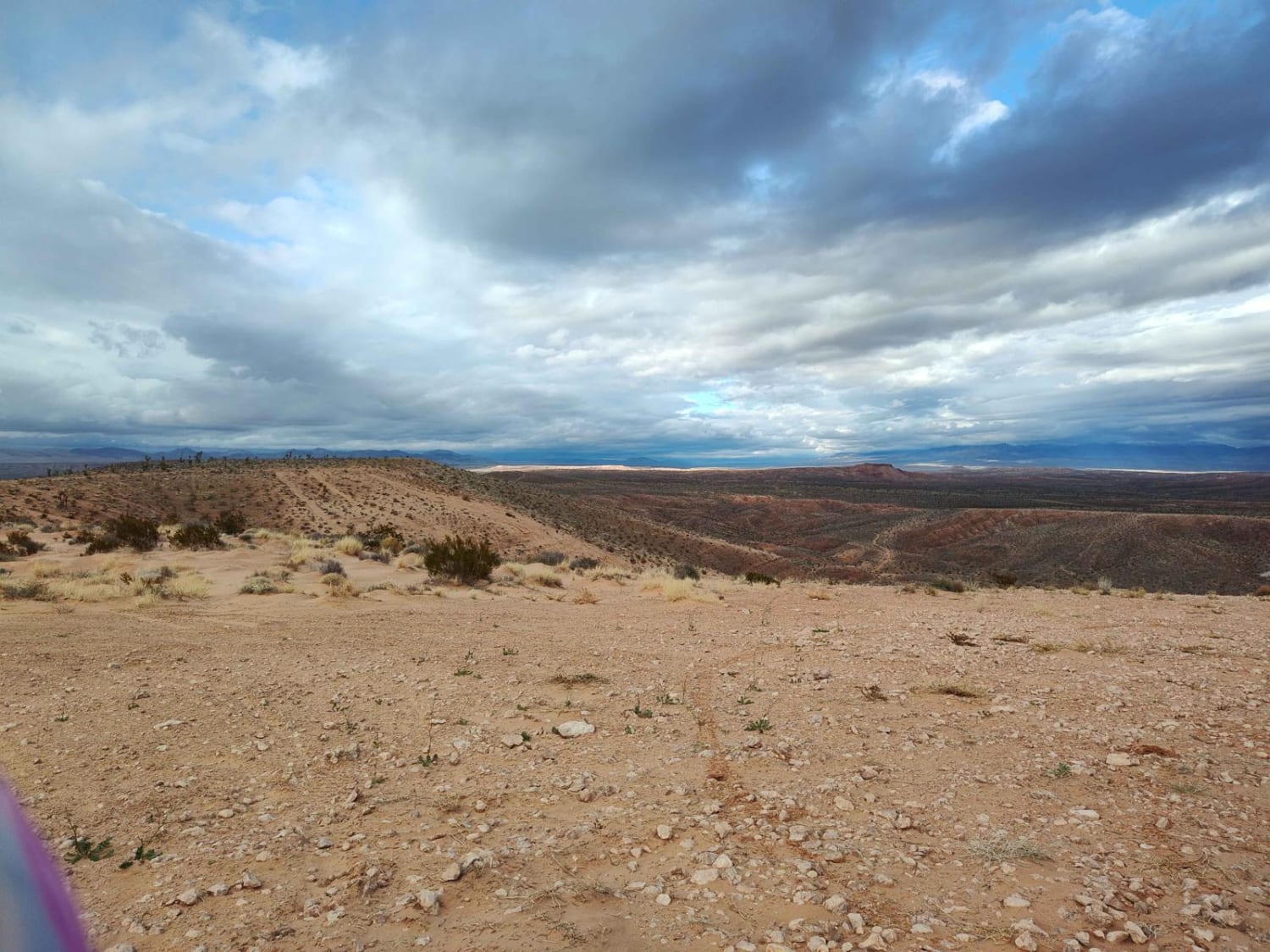
Mixer

Mixer

This route features varied terrain, hill climbs, rocks, gravel and sand. This trail covers a good portion of the area and includes a mix of nearly paved quality gravel roads, two-track Jeep/SxS and single track.…
Learn more about Mixer
Total Miles
16.6
Tech Rating
3 Easy
Best Time
Spring, Summer, Fall, Winter
Learn more about Moapa to Caliente Via Barclay
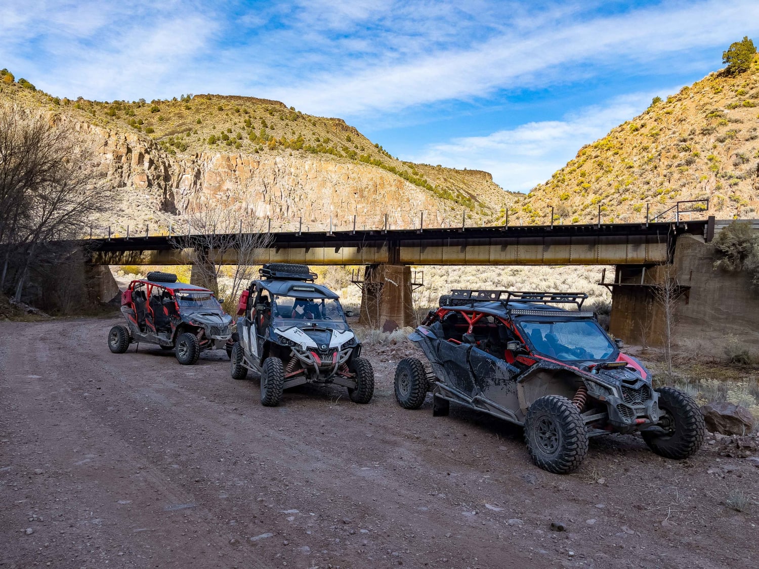
Moapa to Caliente Via Barclay

Moapa to Caliente Via Barclay

All of the maintained dirt roads can be done in a stock truck or SUV, with the exception of the short loop we took off of Sams Camp Road. That is narrow and would require…
Learn more about Moapa to Caliente Via Barclay
Total Miles
91.0
Tech Rating
1 Easy
Best Time
Spring, Fall
Learn more about Moon River Viewpoint
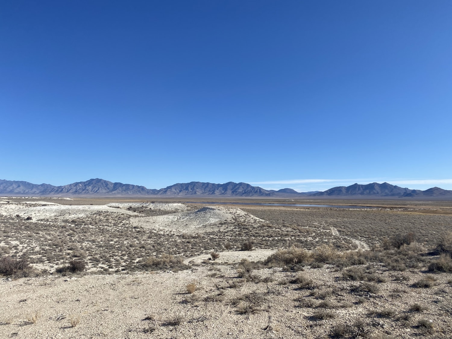
Moon River Viewpoint

Moon River Viewpoint

Mild sandy and gravel mostly two-track road out to a scenic point. It runs along the wilderness boundary fence. It ends at an overlook with views of the mountains and the reservoir. Burro and cattle…
Learn more about Moon River Viewpoint
Total Miles
4.7
Tech Rating
3 Easy
Best Time
Fall, Summer, Spring
Learn more about Mormon Canyon
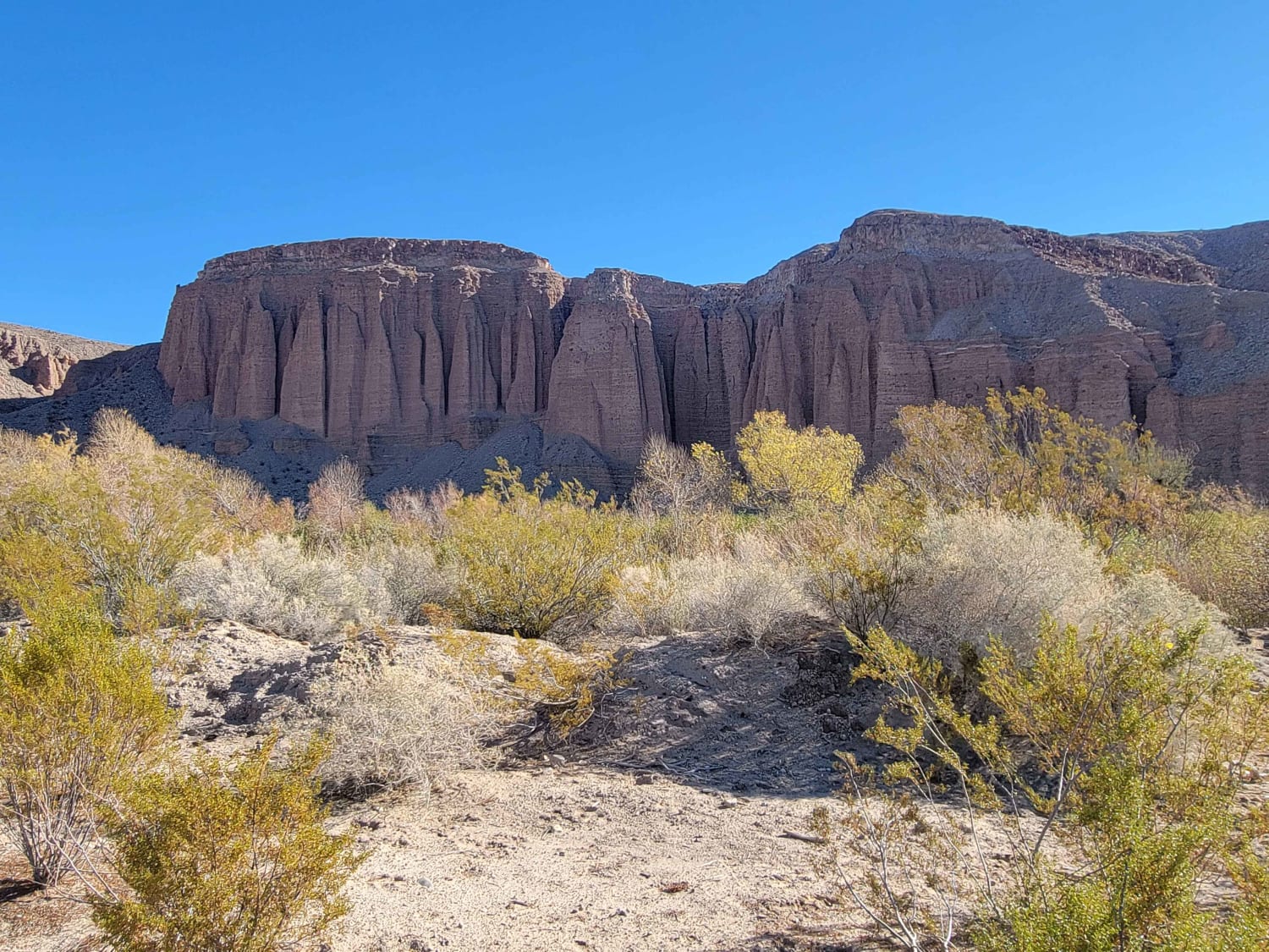
Mormon Canyon

Mormon Canyon

Mormon Canyon Trail weaves its way along the Meadow Valley Range and Mormon Mountains wilderness. According to the maps, the trail supposedly goes all the way through, but I was unsuccessful in locating where exactly…
Learn more about Mormon Canyon
Total Miles
35.1
Tech Rating
4 Moderate
Best Time
Spring, Fall, Winter
Learn more about Mormon Mesa
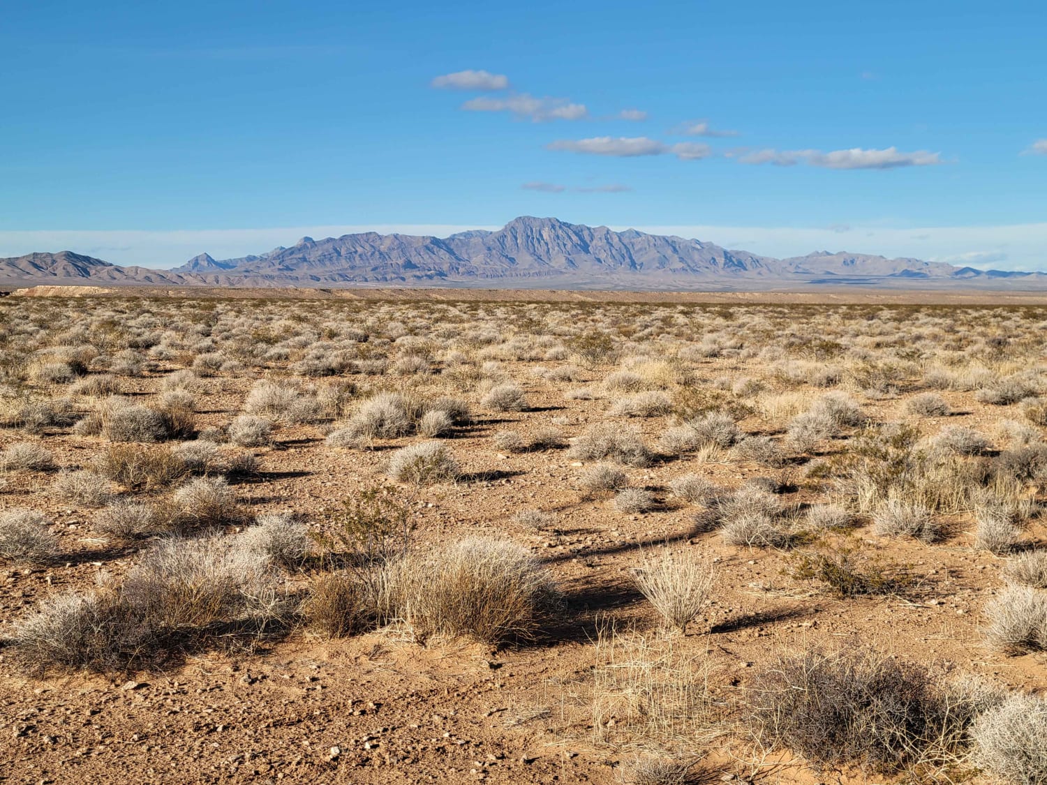
Mormon Mesa

Mormon Mesa

Just Northeast of Moapa Valley, this trail follows right along the power lines and leads you up/down the plateau and across the Mormon Mesa. The section that goes up (or down) the plateau is a…
Learn more about Mormon Mesa
Total Miles
6.5
Tech Rating
3 Easy
Best Time
Spring, Fall, Winter
Learn more about Mormon Well Road
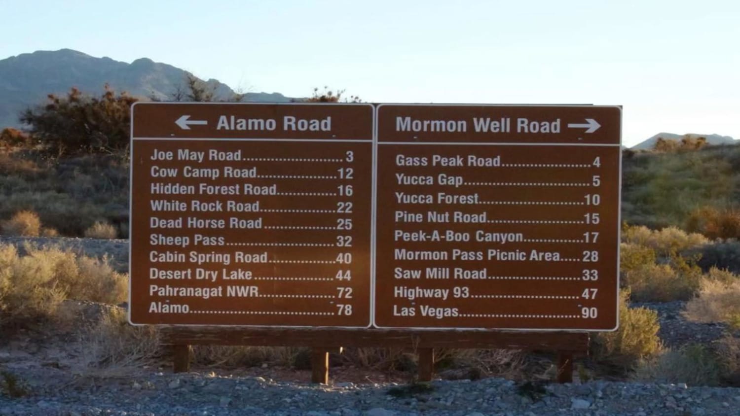
Mormon Well Road

Mormon Well Road

Mormon Well is a stock-friendly trail that crosses the Desert National Wildlife Refuge. You will cross a well-maintained dirt road that rises in elevation from the desert floor to more than 6,000 feet in elevation.…
Learn more about Mormon Well Road
Total Miles
41.6
Tech Rating
2 Easy
Best Time
Spring, Summer, Fall
1 ... 7 8 9 10 11 12 13 14 15 16 ... 19

The onX Offroad Difference

onX Offroad combines trail photos, descriptions, difficulty ratings, width restrictions, seasonality, and more in a user-friendly interface. Available on all devices, with offline access and full compatibility with CarPlay and Android Auto. Discover what you’re missing today!