Off-Road Trails in Nevada

Discover off-road trails in Nevada

Learn more about Old Buck Horn Road
Old Buck Horn Road

Old Buck Horn Road

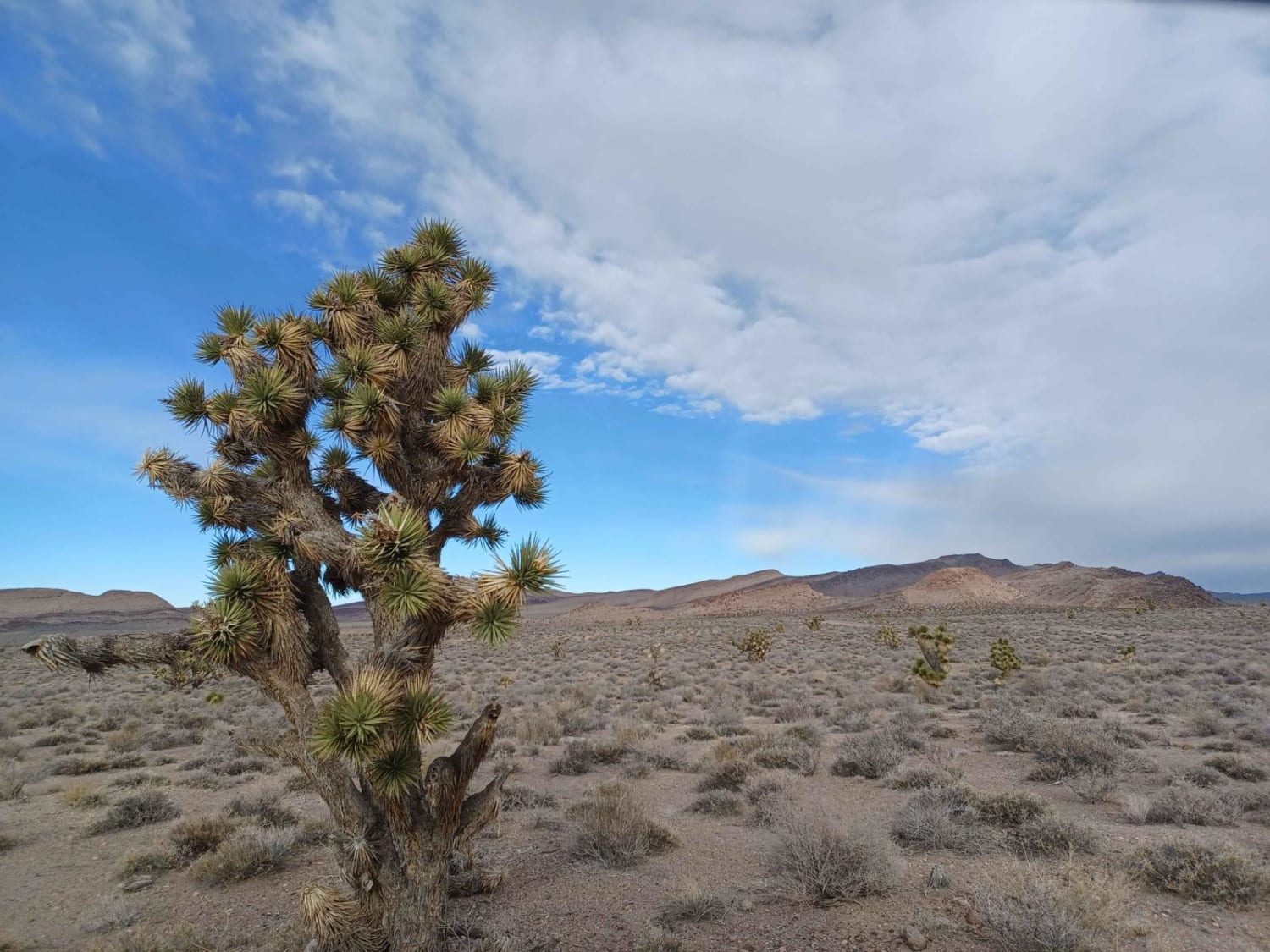
Old Buck Horn Road runs through the Bureau of Land Management Government Lands and is an easy gravel road mixed with a little dirt and sand in sections. There are some pretty cool rock formations…
Learn more about Old Buck Horn Road
Total Miles
8.6
Tech Rating
2 Easy
Best Time
Spring, Summer, Fall, Winter
Learn more about Old Como Road
Old Como Road

Old Como Road

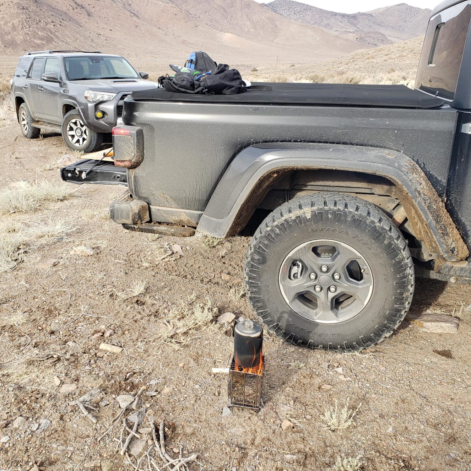
This road begins at Dayton, Nevada, and gradually rises in elevation from 4367' to 7128' into the Pine Nut Mountains and is located on mostly BLM lands. The trail starts off over a flat alluvial…
Learn more about Old Como Road
Total Miles
19.9
Tech Rating
2 Easy
Best Time
Summer, Fall
Learn more about Old Man Canyon / Seven Devils Hot Springs
Old Man Canyon / Seven Devils Hot Springs

Old Man Canyon / Seven Devils Hot Springs

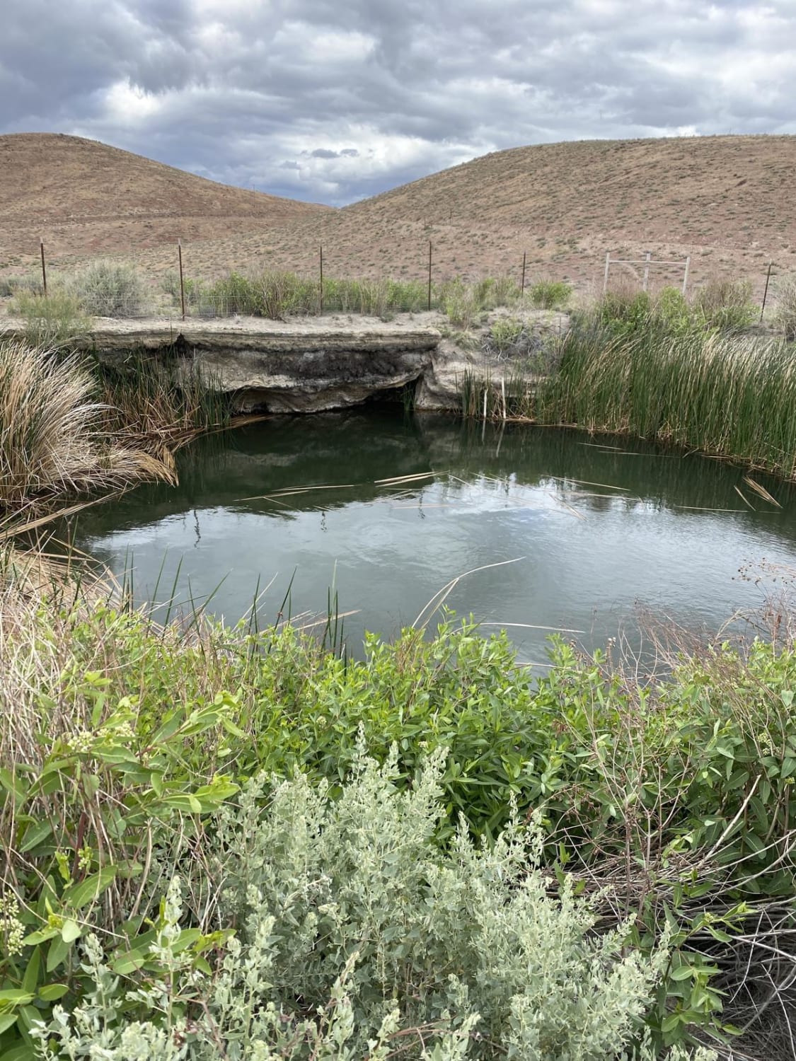
This trail starts with some fast dynamic driving through the washes in the alluvial fan coming off the Stillwater Range. After 2 miles, you'll come to Fencemaker Road, which is well-maintained and graded. This is…
Learn more about Old Man Canyon / Seven Devils Hot Springs
Total Miles
14.1
Tech Rating
6 Moderate
Best Time
Fall, Summer, Spring
Learn more about Old Mormon Wagon Trail (West)
Old Mormon Wagon Trail (West)

Old Mormon Wagon Trail (West)

This trail is a combination of the westward extension of the Old Mormon Wagon Trail from Beaver Dam Wash as well as the extension of the Powerline Road that runs east of the wash. The…
Learn more about Old Mormon Wagon Trail (West)
Total Miles
14.0
Tech Rating
1 Easy
Best Time
Spring, Summer, Fall, Winter
Learn more about Old Narrow Gage trail
Old Narrow Gage trail

Old Narrow Gage trail

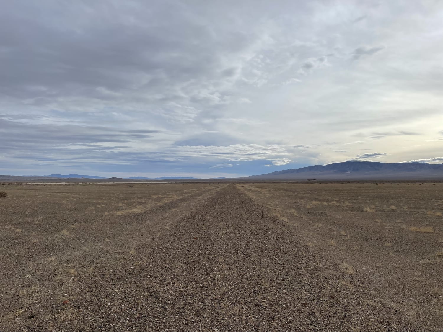
This is a very rutted, soft, and technical ride along the edge of an old dry lake bed in the great Smoky Valley. Be aware of many deep washouts and look out for vehicle tracks…
Learn more about Old Narrow Gage trail
Total Miles
5.9
Tech Rating
5 Moderate
Best Time
Winter, Fall, Spring
Learn more about Old Railroad Grade Road
Old Railroad Grade Road

Old Railroad Grade Road

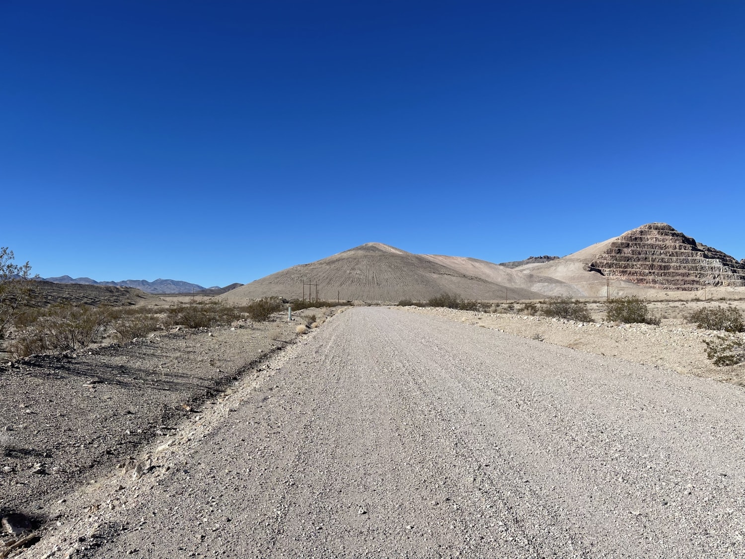
The western section of the road is well-graded and more than two cars wide. Once you transition onto the two-track near the airport, the trail gets rocky, with a few washout transitions. One specifically is…
Learn more about Old Railroad Grade Road
Total Miles
4.1
Tech Rating
2 Easy
Best Time
Winter, Fall, Spring
Learn more about Old Spanish Trail
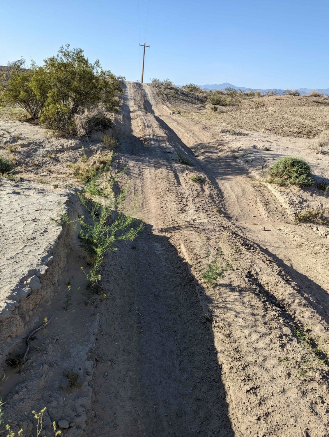
Old Spanish Trail

Old Spanish Trail

This is a fun trail from the south end of Pahrump out to Prairie Fire, formerly known as Front Sight Road. From Front Sight Rd you can go right and head towards Prairie Fire, head…
Learn more about Old Spanish Trail
Total Miles
6.2
Tech Rating
2 Easy
Best Time
Spring, Fall, Winter
Learn more about Old Stagecoach Road
Old Stagecoach Road

Old Stagecoach Road

This moderately easy trail winds around Pioneer mine and the hills from narrow rocky two-track to graded sections and even a sandy wash. One section of the trail is a very faint two-track that gets…
Learn more about Old Stagecoach Road
Total Miles
5.1
Tech Rating
4 Moderate
Best Time
Winter, Fall, Spring
Learn more about Opal Mountain Road
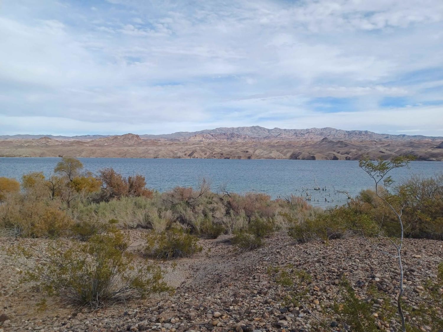
Opal Mountain Road

Opal Mountain Road

Opal Mountain Road drives through the Lake Mead National Recreation Area. This area is a limited-use area, and camping is only allowed in approved areas. Offroad use is not allowed unless on a designated route.…
Learn more about Opal Mountain Road
Total Miles
5.7
Tech Rating
1 Easy
Best Time
Spring, Summer, Winter, Fall
Learn more about Oro Plata Mine
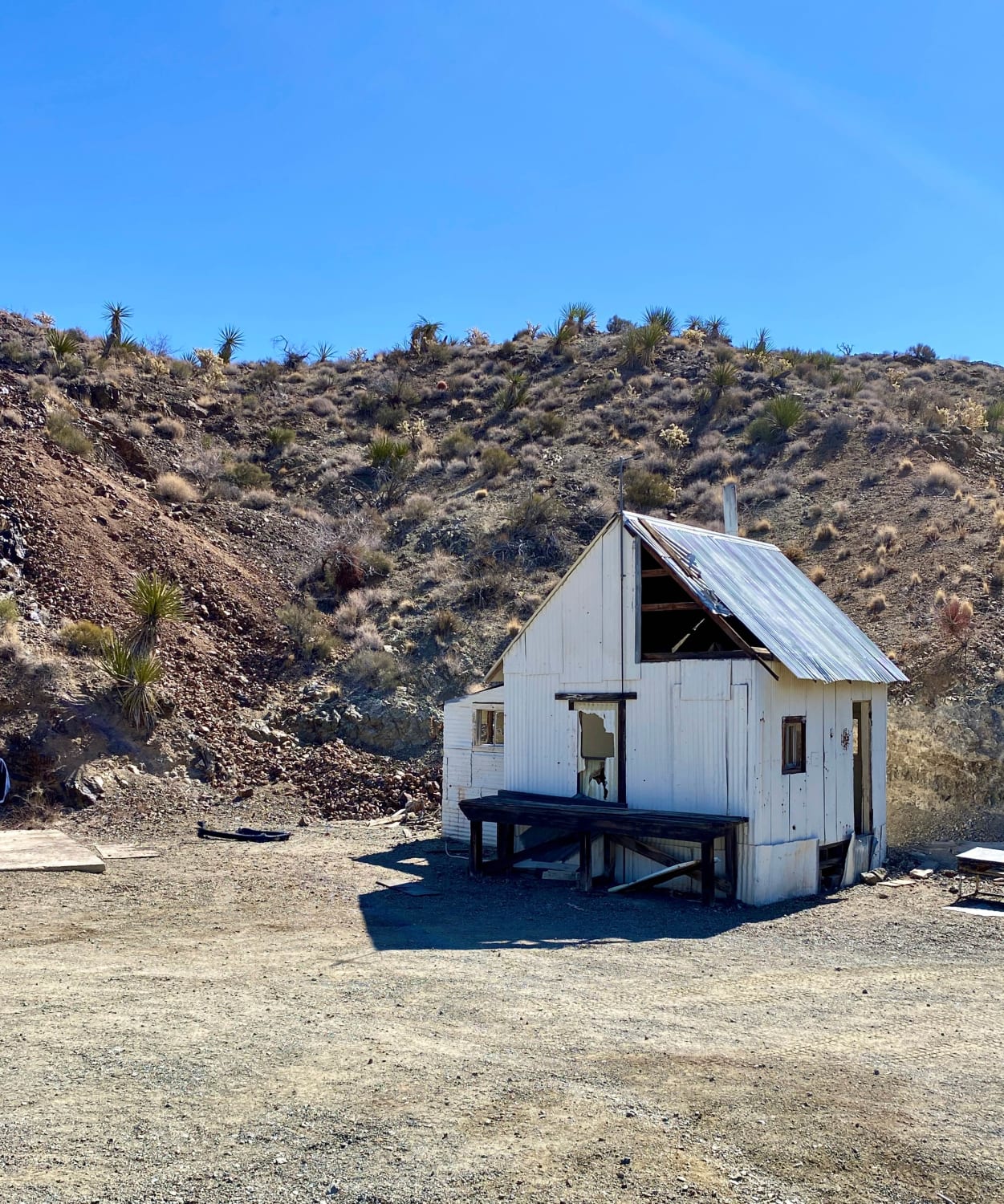
Oro Plata Mine

Oro Plata Mine

Take this rough and rocky trail to the remains of the Oro Plata Mine. The trail drops nearly 1,500 feet of elevation as you follow the canyon down to the Colorado River. Explore part of…
Learn more about Oro Plata Mine
Total Miles
3.1
Tech Rating
5 Moderate
Best Time
Spring, Fall, Winter
Learn more about Pahroc Springs Road
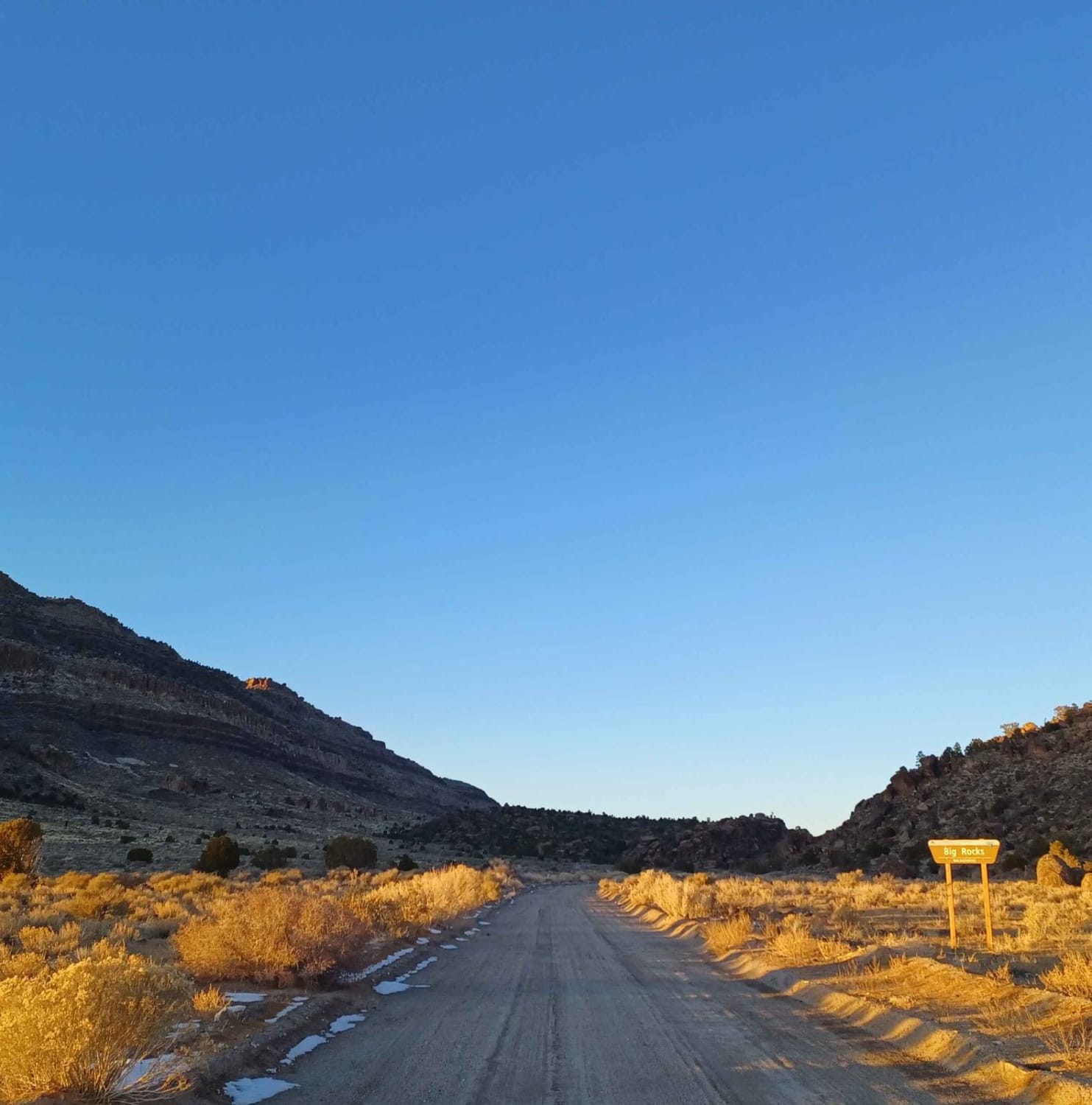
Pahroc Springs Road

Pahroc Springs Road

Pahroc Springs Road drives through the Bureau of Land Management Government Lands and Big Rock Wilderness. It gets its name from the insanely large rocks that can be seen all over the mountainside and valley…
Learn more about Pahroc Springs Road
Total Miles
10.0
Tech Rating
1 Easy
Best Time
Spring, Fall, Summer
Learn more about Pahrump to Mountain Springs
Pahrump to Mountain Springs

Pahrump to Mountain Springs

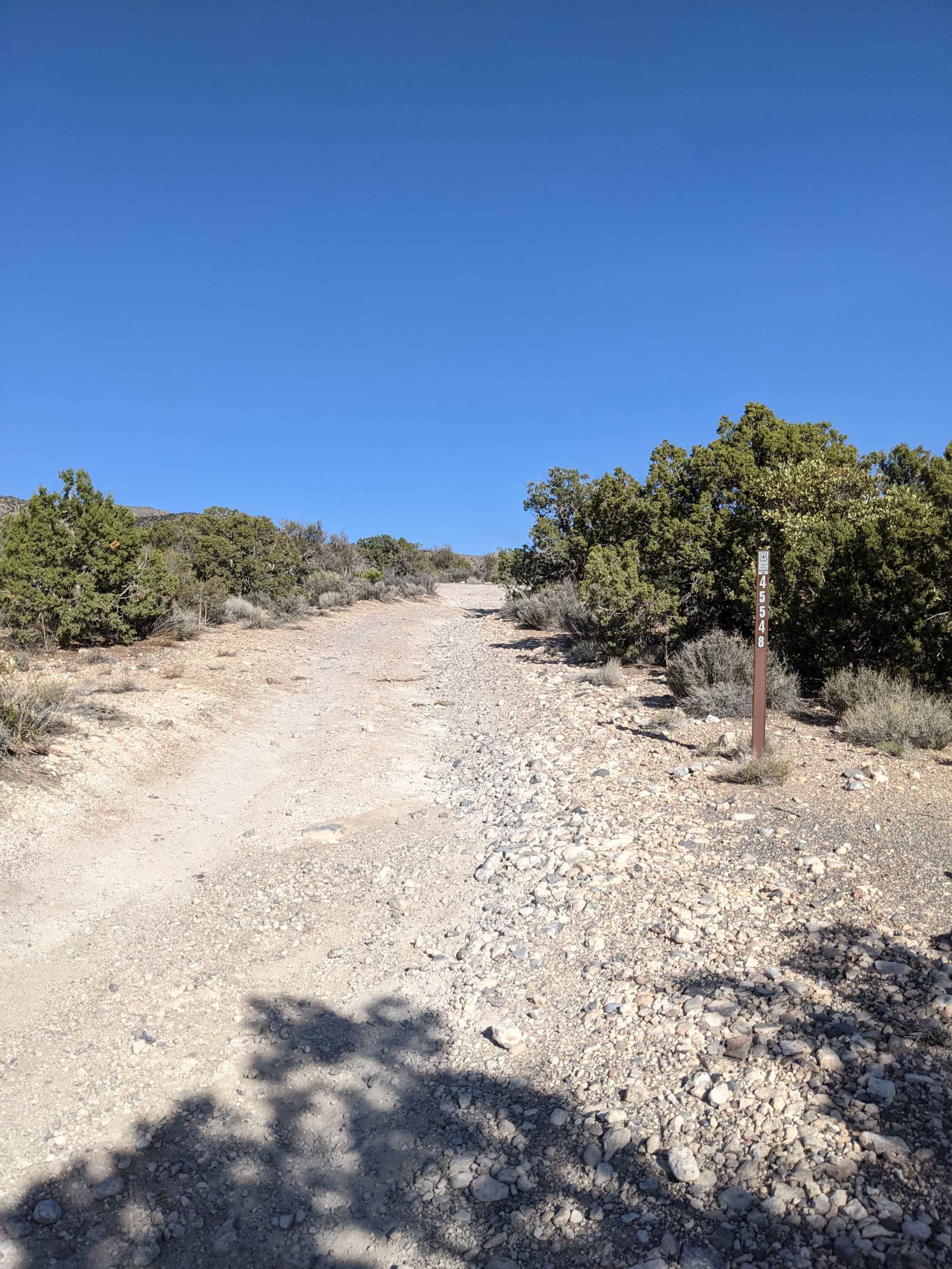
Mountain Springs is located between Pahrump and Las Vegas and is accessible from Pahrump by trail. The trail runs Southeast and Southwest through the Toiyabe National Forest and is an easy off-road drive through beautiful…
Learn more about Pahrump to Mountain Springs
Total Miles
31.2
Tech Rating
2 Easy
Best Time
Spring, Summer, Fall
Learn more about Pants Connector
Pants Connector

Pants Connector

The Pants Connector Trail is an 8.6-mile single-track connection between the Pants Loop Trail and the Ridge Trail. Riding NE to SW, it departs from the east end of the Pants Loop at an intersection…
Learn more about Pants Connector
Total Miles
8.6
Tech Rating
3 Easy
Best Time
Winter
Learn more about Pants Loop
Pants Loop

Pants Loop

The Pant's Loop is one of the longer trails in this trail system, starting off of Cathedral Canyon Road and ending on Pahrump Road. It's a fast desert trail running through a Joshua Tree Forest…
Learn more about Pants Loop
Total Miles
8.4
Tech Rating
2 Easy
Best Time
Winter
Learn more about Pants Trail
Pants Trail

Pants Trail

The Pants Trail is probably one of the more popular trails in this trail system SE of Pahrump, NV. It's a fun and flowy 6-mile trail that has fewer loose rocks than the rest of…
Learn more about Pants Trail
Total Miles
6.3
Tech Rating
2 Easy
Best Time
Winter
Learn more about Pants Trail East
Pants Trail East

Pants Trail East

Pants Trail East is one of several fast and fun desert single tracks in this trail system SE of Pahrump, NV accessed off of Tecopa Road. This one is very similar to Pants Trail and…
Learn more about Pants Trail East
Total Miles
3.5
Tech Rating
2 Easy
Best Time
Winter
Learn more about Peavine Prospector Run
Peavine Prospector Run

Peavine Prospector Run

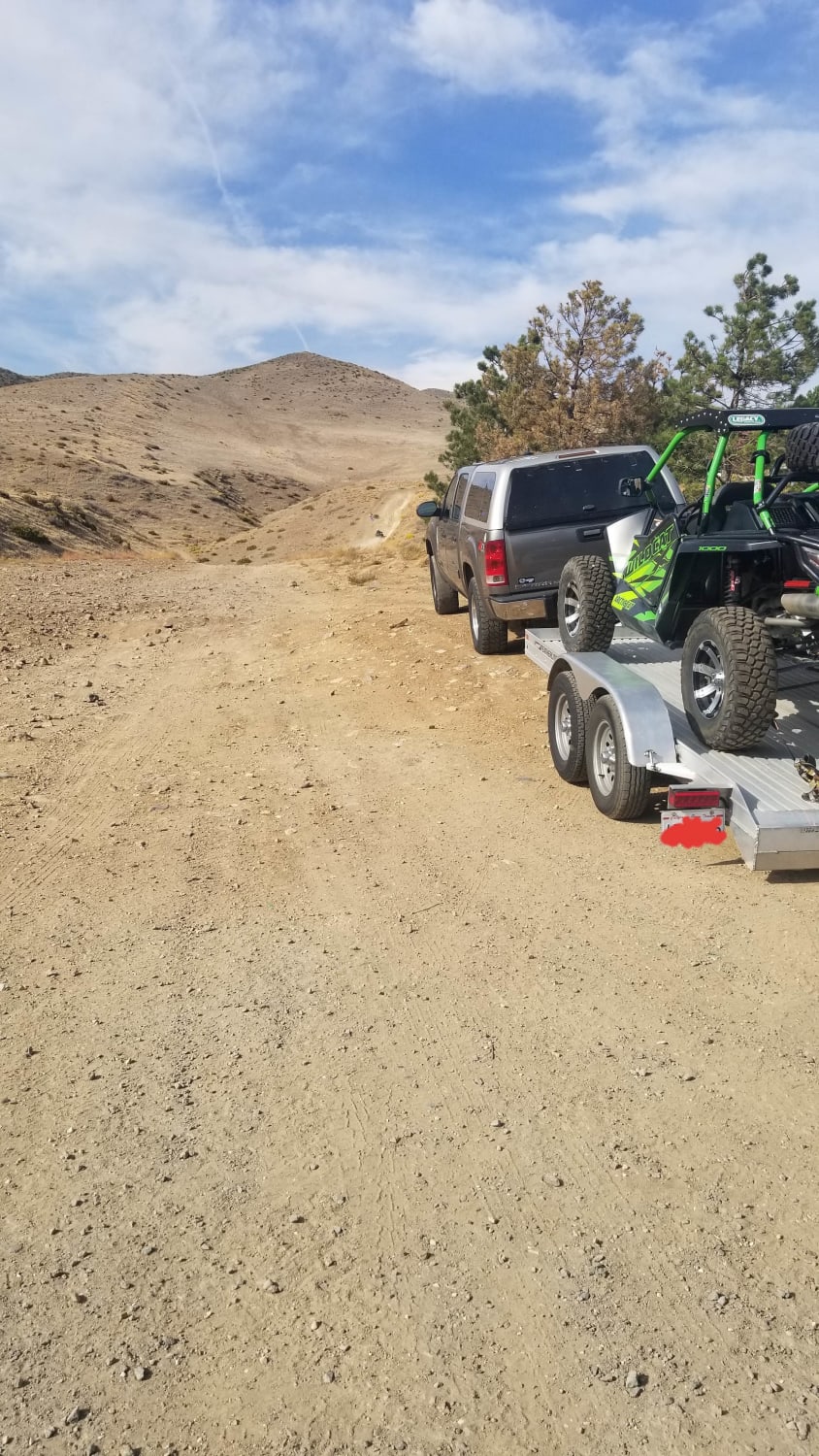
Spectacular views of Reno abound from high above on this trail that traverses historic Peavine Mountain. In stark contrast to the urban hustle and bustle of Reno, Peavine showcases the desolate beauty of the harsh…
Learn more about Peavine Prospector Run
Total Miles
11.7
Tech Rating
3 Easy
Best Time
Summer, Fall
Learn more about Peavine to Robb
Peavine to Robb

Peavine to Robb

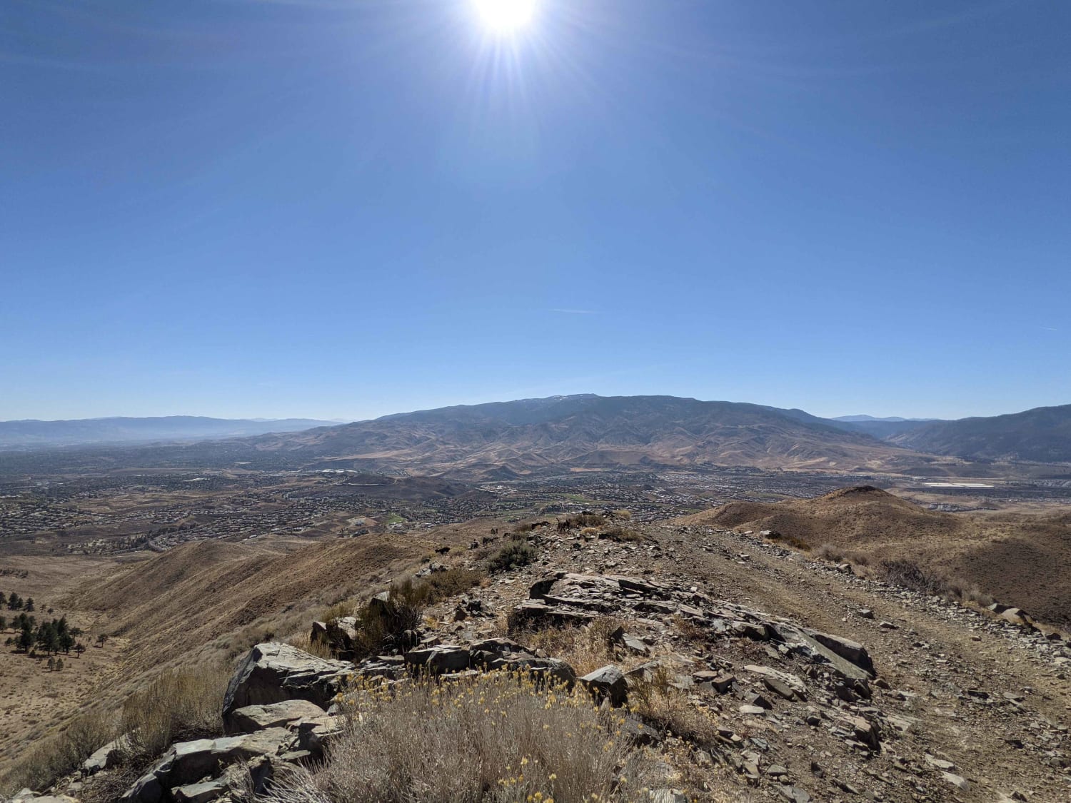
The trail is made up of mostly dirt with some small rocks here and there. Most of the difficulty is the steepness of the mountain. Alternate paths can make the trail more challenging. Hitting the…
Learn more about Peavine to Robb
Total Miles
5.2
Tech Rating
4 Moderate
Best Time
Spring, Summer, Fall, Winter
Learn more about Penoyer Spring Road
Penoyer Spring Road

Penoyer Spring Road

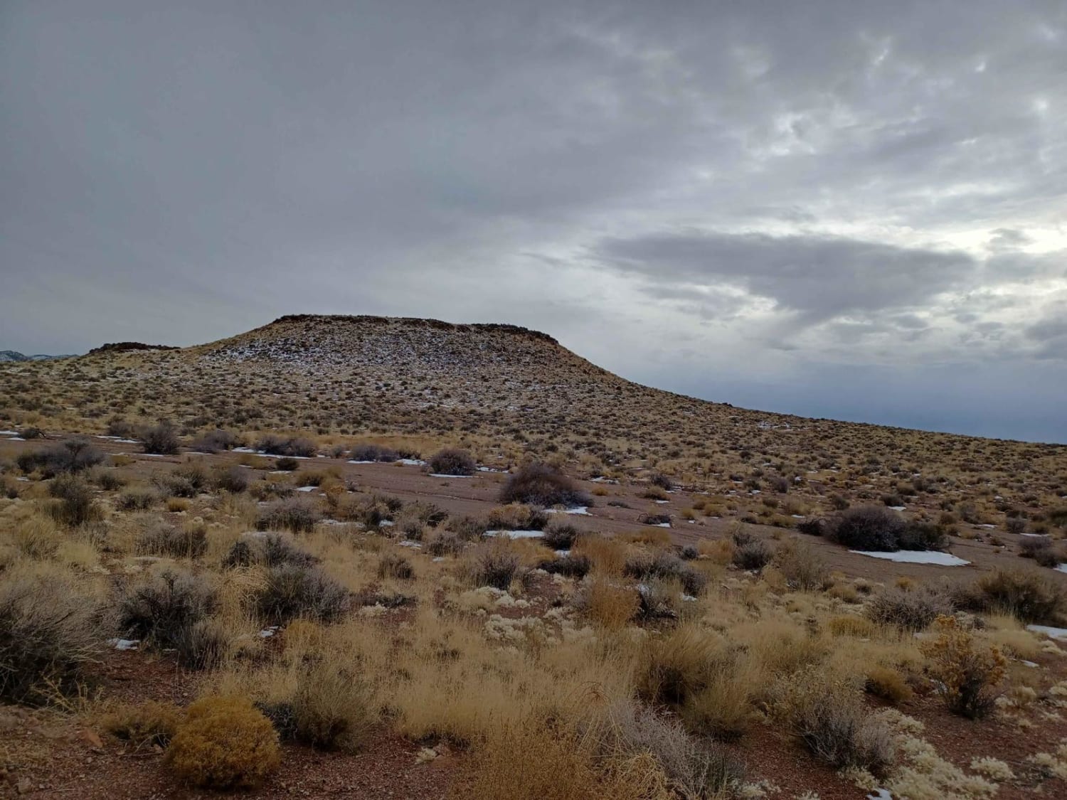
Penoyer Spring Road runs through the Bureau of Land Management Government Lands and is an easy gravel road mixed with a little dirt and sand in sections. As you drive along this road, you'll enjoy…
Learn more about Penoyer Spring Road
Total Miles
20.9
Tech Rating
1 Easy
Best Time
Spring, Summer, Fall
Learn more about Phinney Canyon Road
Phinney Canyon Road

Phinney Canyon Road

This easy, graded trail takes you from Highway 95 into the vast trail networks in the valley. Continuing past the recorded turn will take you all the way to the Death Valley park boundary. The…
Learn more about Phinney Canyon Road
Total Miles
3.7
Tech Rating
2 Easy
Best Time
Winter, Fall, Spring

The onX Offroad Difference

onX Offroad combines trail photos, descriptions, difficulty ratings, width restrictions, seasonality, and more in a user-friendly interface. Available on all devices, with offline access and full compatibility with CarPlay and Android Auto. Discover what you’re missing today!