Off-Road Trails in Nevada

Discover off-road trails in Nevada

Learn more about Pine Canyon Dam Road
Pine Canyon Dam Road

Pine Canyon Dam Road

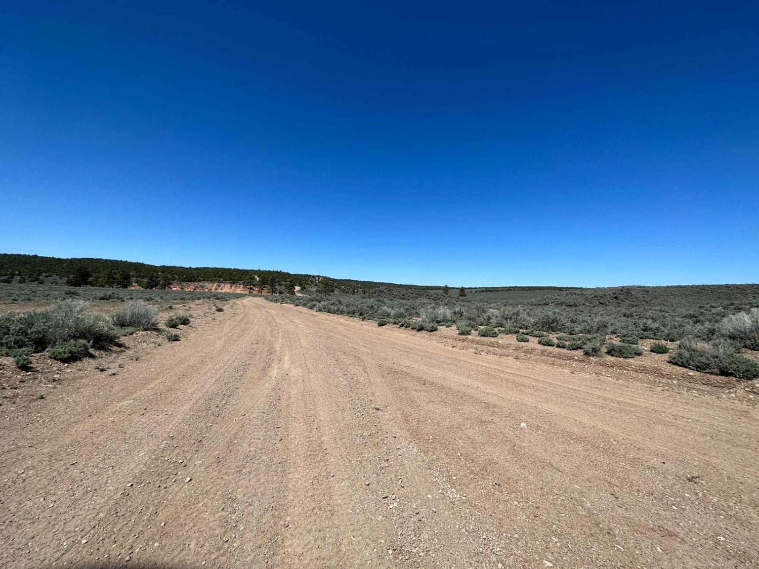
Pine Canyon Dam Road crosses a relatively flat Sage Brush plain with heavy Cedar trees in the distance. A large wild horse herd frequents the area, evidenced by many large piles of horse manure scattered…
Learn more about Pine Canyon Dam Road
Total Miles
3.7
Tech Rating
2 Easy
Best Time
Spring, Summer, Fall
Learn more about Pine forest range ridge
Pine forest range ridge

Pine forest range ridge

Loose gravel and rock dominate this trail. There are no particularly difficult obstacles, but there are steep climbs where lockers come in handy and just hitting them at speed would be dangerous. The views are…
Learn more about Pine forest range ridge
Total Miles
20.3
Tech Rating
4 Easy
Best Time
Summer, Fall
Learn more about Pine Grove Connector ATV
Pine Grove Connector ATV

Pine Grove Connector ATV

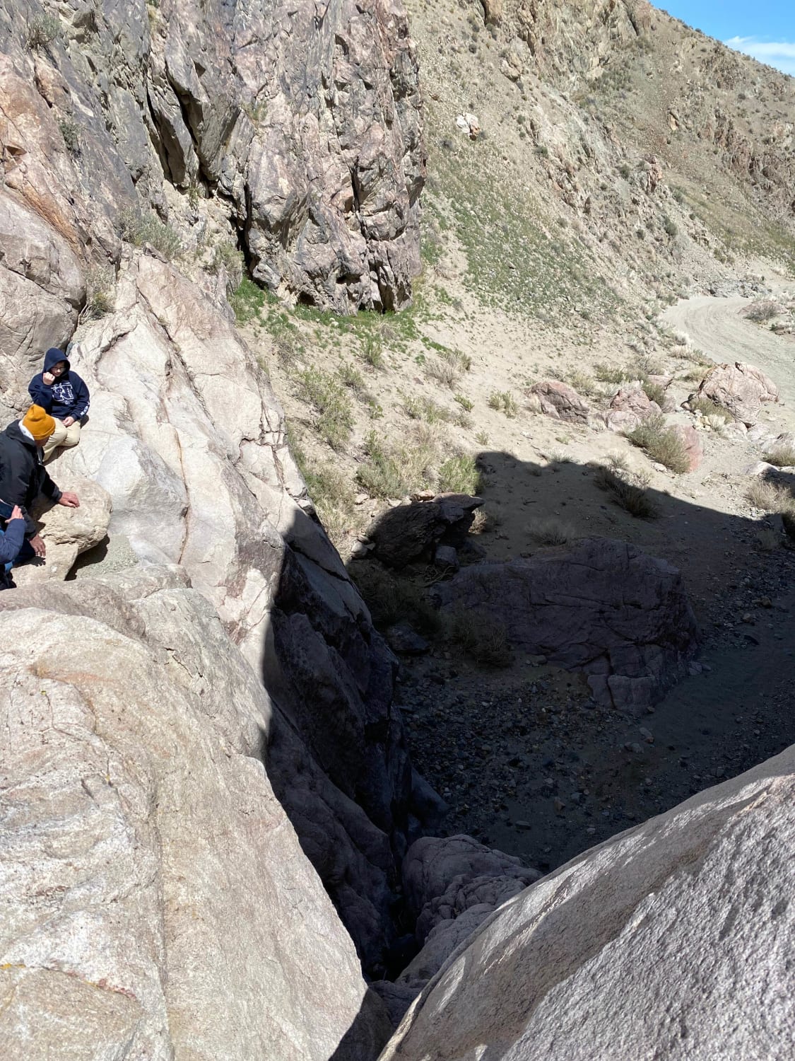
From Drainage End Trail, this road is impassable by all vehicles. The road is a flat sandy wash that ends at a 50' rock wall. We saw some side trails that lead up and around…
Learn more about Pine Grove Connector ATV
Total Miles
0.7
Tech Rating
10 Difficult
Best Time
Fall, Summer, Spring
Learn more about Pine Nut Mountains Vista Trail
Pine Nut Mountains Vista Trail

Pine Nut Mountains Vista Trail

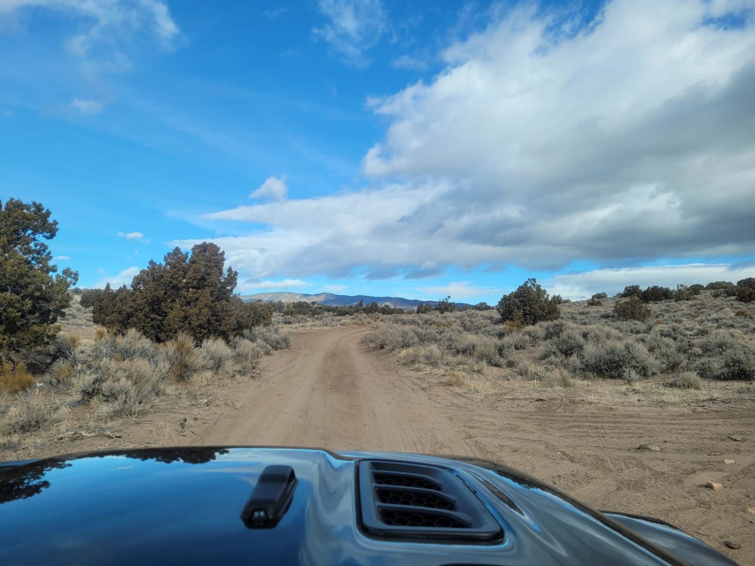
Located in the Johnson OHV park, this trail has views of Minden, the Sierra Nevada Mountains, and Pine Nut Mountains. A man-made dirt pile is meant to block the trail at 4.82 miles. At this…
Learn more about Pine Nut Mountains Vista Trail
Total Miles
2.6
Tech Rating
3 Easy
Best Time
Spring, Summer, Fall, Winter
Learn more about Pioneer Road
Pioneer Road

Pioneer Road

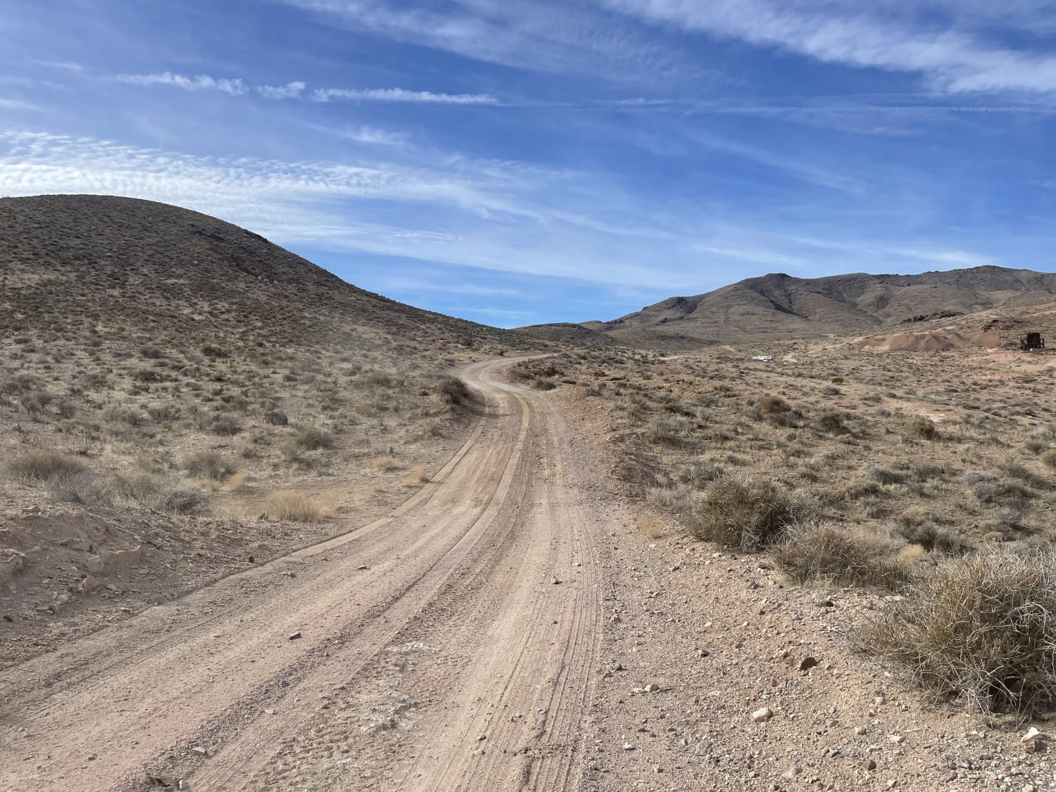
A mostly easy trail, except for the last 100 yards that complete the trail to the mine. There is plenty of room for oncoming traffic, and the trail is well graded. 2 bars LTE at…
Learn more about Pioneer Road
Total Miles
4.0
Tech Rating
2 Easy
Best Time
Winter, Fall, Spring
Learn more about Poison Creek
Poison Creek

Poison Creek

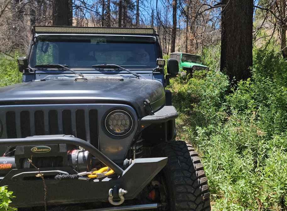
The trail begins on a dirt road just off Highway 395 and quickly descends into a lush valley. In this valley, the path follows a creek, winding in and out of dense vegetation. At times,…
Learn more about Poison Creek
Total Miles
11.1
Tech Rating
3 Moderate
Best Time
Spring, Summer
Learn more about Pole Line Road
Pole Line Road

Pole Line Road

This trail is the main Pole line heading south out of town from Beatty and its more local dirt trails. This road takes you along the power lines and down toward two interesting abandoned mining…
Learn more about Pole Line Road
Total Miles
6.9
Tech Rating
3 Easy
Best Time
Winter, Fall, Spring
Learn more about Policemans' Wash
Policemans' Wash

Policemans' Wash

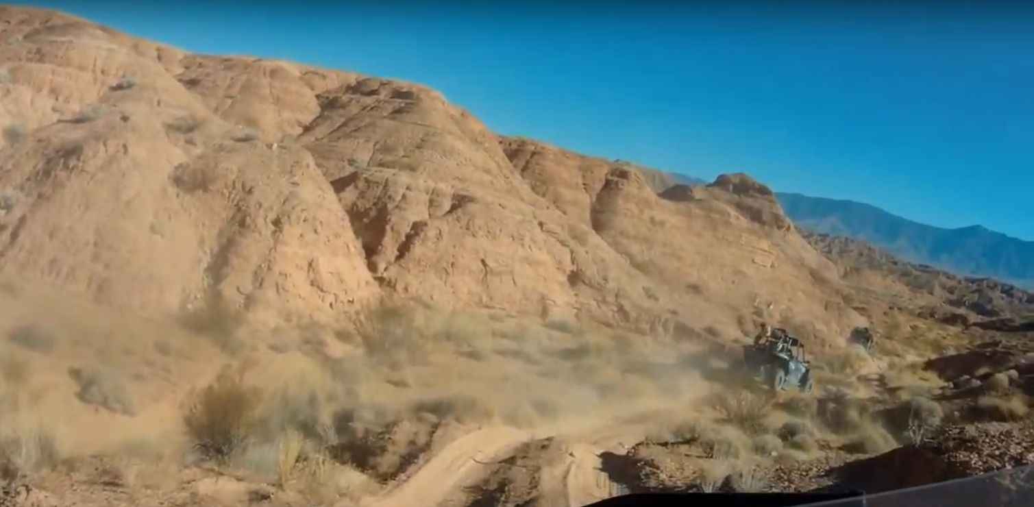
7.5 miles of sandy bottom and high bank turns, the path is constantly changing with the rigs, wind, and rain it sees. Run it at speed or just cruse through and enjoy the scenery. One…
Learn more about Policemans' Wash
Total Miles
6.5
Tech Rating
3 Easy
Best Time
Spring, Summer, Fall, Winter
Learn more about Pony Express Trail

Pony Express Trail

Pony Express Trail

The historic Pony Express Trail is one of the few domestic overland routes accessible to the public. This route follows, as closely as possible, the original trail ridden over 160 years ago on horseback. Make…
Learn more about Pony Express Trail
Total Miles
487.0
Tech Rating
3 Easy
Best Time
Spring, Summer, Fall
Learn more about Potosi Pass Road
Potosi Pass Road

Potosi Pass Road

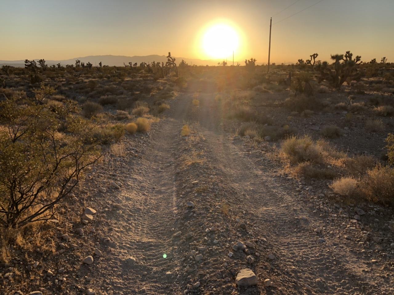
The northeast section of Potosi Pass Road is a relatively easy ride through the Spring Mountains with only slight hills and mildly uneven, rocky terrain. Some of the land surrounding the road says "private property…
Learn more about Potosi Pass Road
Total Miles
12.7
Tech Rating
4 Moderate
Best Time
Spring, Summer, Fall, Winter
Learn more about Potosi Tower Road
Potosi Tower Road

Potosi Tower Road

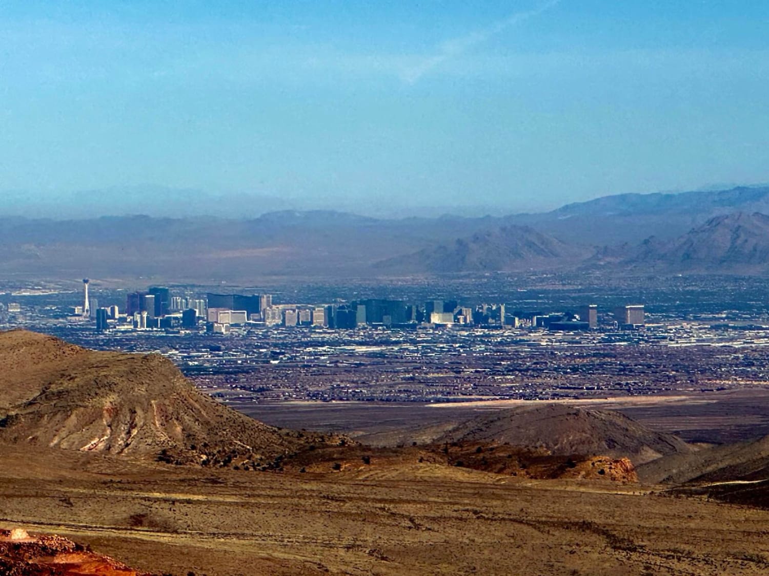
The Potosi Tower Road is a 14.6 out and back trail that goes to a great overlook of the Las Vegas Strip and Potosi Mountain. Built as a service road for the multiple communication towers…
Learn more about Potosi Tower Road
Total Miles
7.7
Tech Rating
2 Easy
Best Time
Spring, Summer, Fall, Winter
Learn more about Power Line Trail RSM
Power Line Trail RSM

Power Line Trail RSM

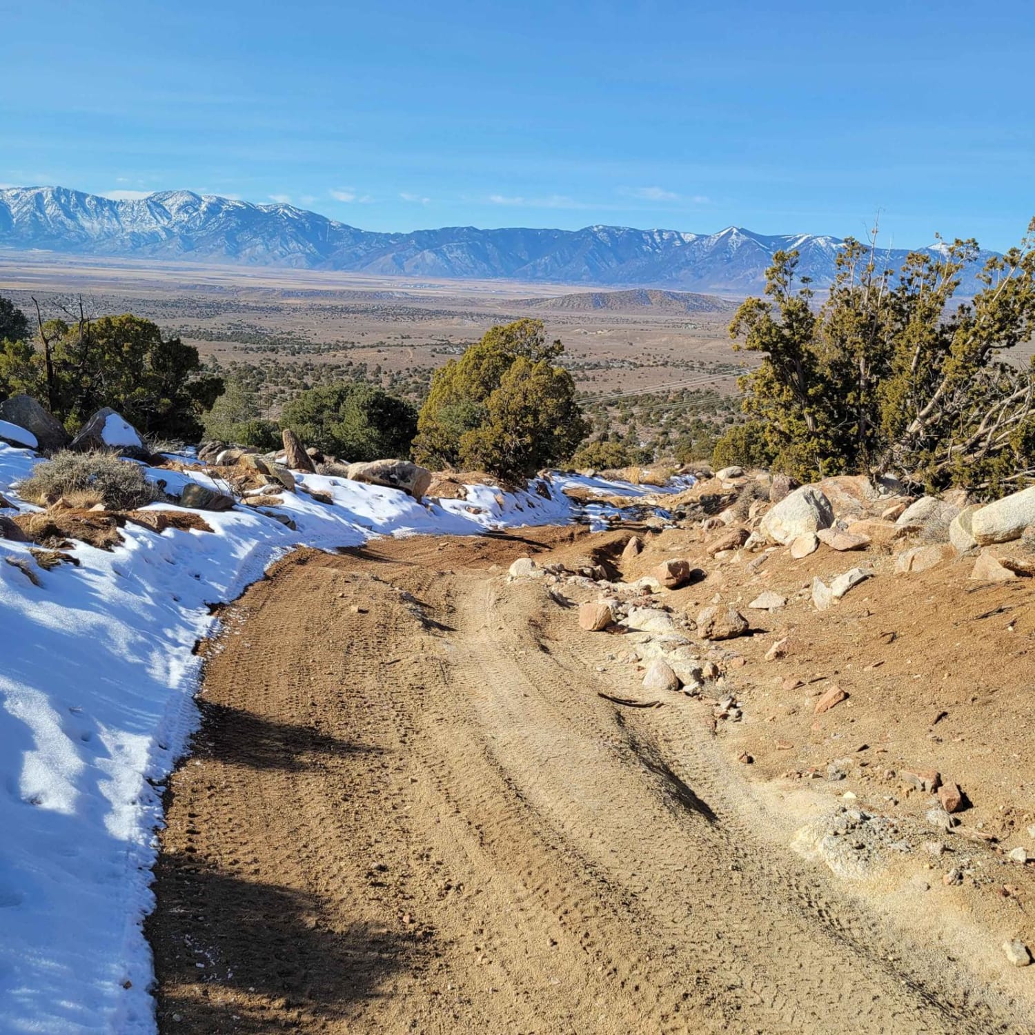
The trail is typically one vehicle wide with a few places to pass on this double-track dirt and clay trail. The clay in this area is treacherous when wet. This first 1.7-mile portion of the…
Learn more about Power Line Trail RSM
Total Miles
7.0
Tech Rating
4 Moderate
Best Time
Summer, Fall
Learn more about Powerline Road
Powerline Road

Powerline Road

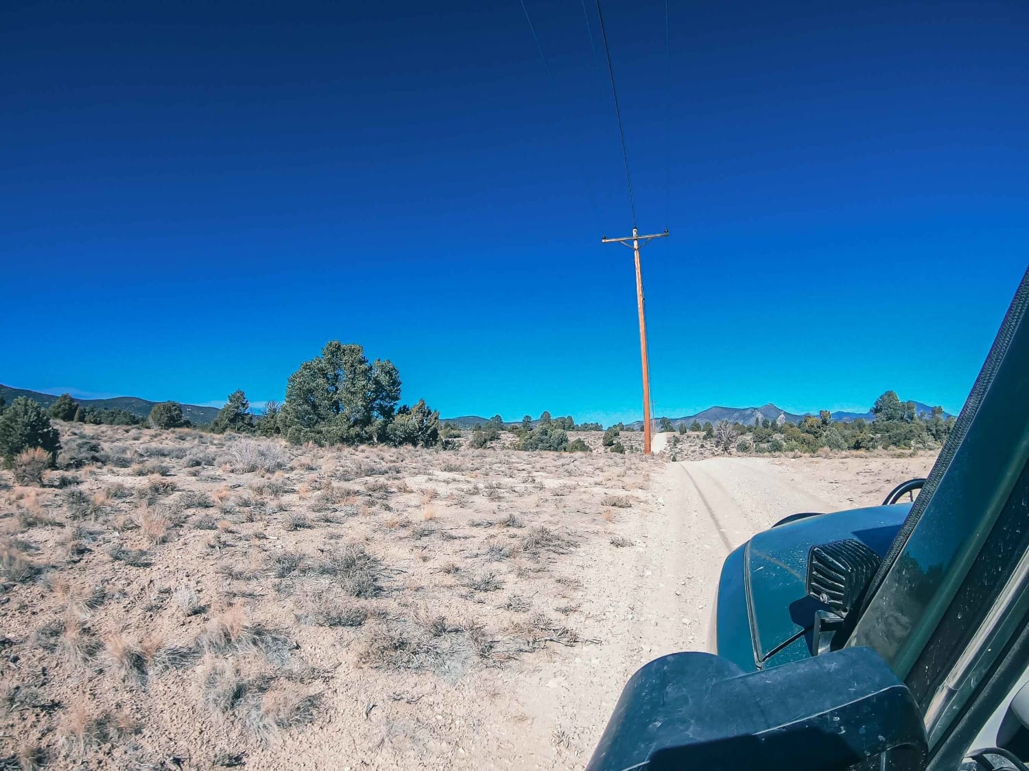
Take a detour along the powerlines! There are hill climbs to test your vehicle and loose rock to slip around on. The road is easy, but the hill climbs and loose gravel make it more…
Learn more about Powerline Road
Total Miles
6.1
Tech Rating
2 Easy
Best Time
Fall, Summer, Spring
Learn more about Powerline Trail
Powerline Trail

Powerline Trail

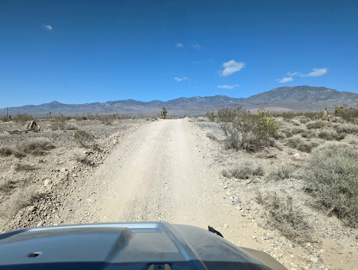
This trail continues from Higley Trail in Pahrump farther up into the mountains. We saw several homeless campers with dilapidated RVs and trash everywhere nearby these camps (sad!). There are also lots of weekenders boondocking…
Learn more about Powerline Trail
Total Miles
5.6
Tech Rating
2 Easy
Best Time
Spring, Fall
Learn more about Powerline Wash Road
Powerline Wash Road

Powerline Wash Road

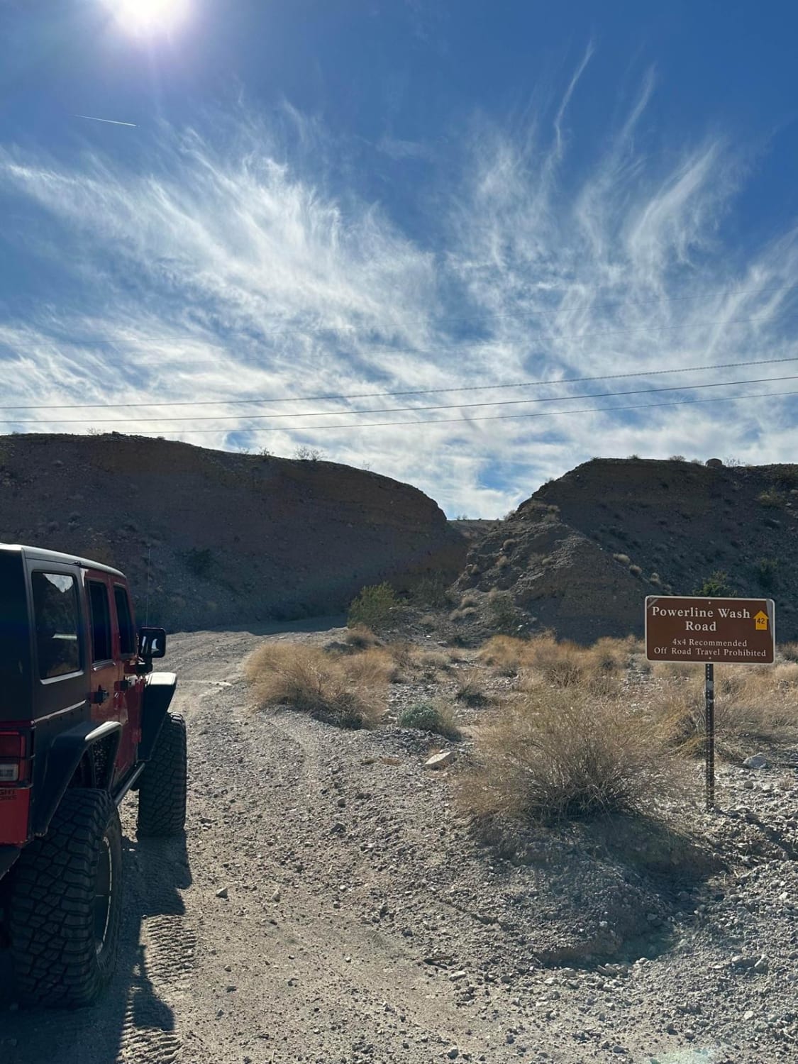
This short 2.6-mile out-and-back trail is a side trip/spur trail off the Aztec Wash Road. This is an easy trail that can be done by a high clearance 2WD or any 4WD vehicle. It runs…
Learn more about Powerline Wash Road
Total Miles
1.3
Tech Rating
2 Easy
Best Time
Spring, Summer, Winter, Fall
Learn more about Purple Pancakes Fly at Midnight
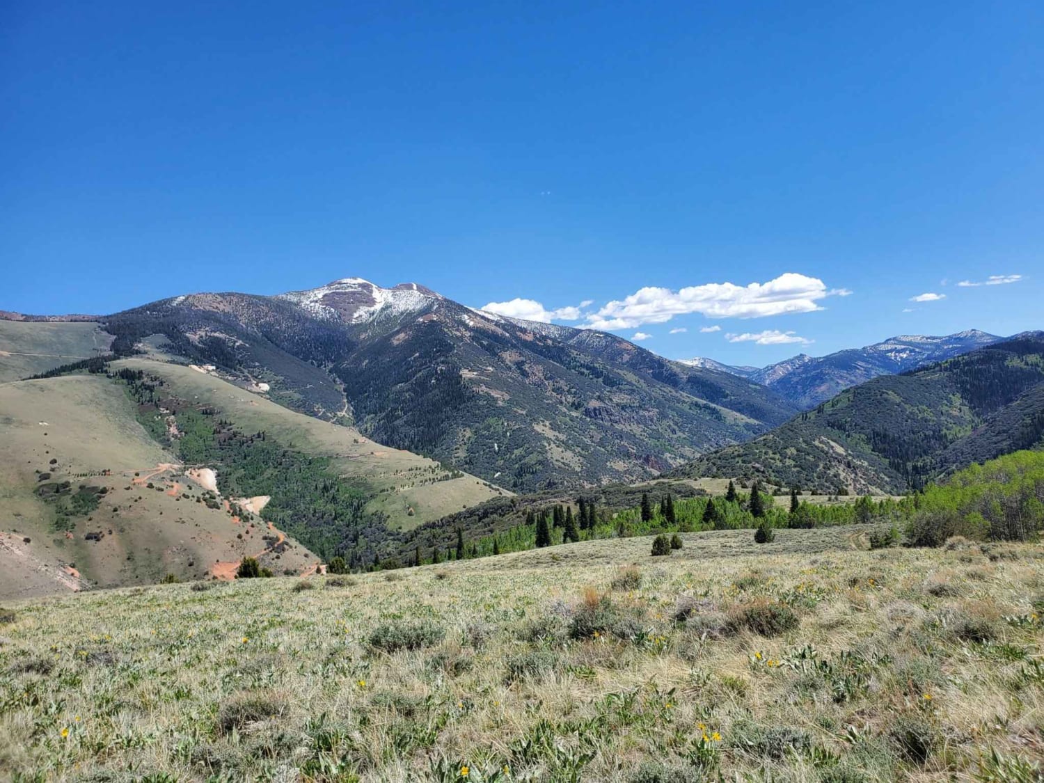
Purple Pancakes Fly at Midnight

Purple Pancakes Fly at Midnight

We started this route in the town of Jarbidge leaving on "Pole Line Road" and stopped it when we intersected with "National Forest Developed Road 071", part of another onX trail. It starts with a…
Learn more about Purple Pancakes Fly at Midnight
Total Miles
20.3
Tech Rating
4 Moderate
Best Time
Summer, Fall
Learn more about Radio Tower Single Track
Radio Tower Single Track

Radio Tower Single Track

This is a 2.4-mile single track in the Nelson OHV Area with some tricky exposed sections that gains 1,300 feet to the top of a mountain peak with a radio tower. The north end starts…
Learn more about Radio Tower Single Track
Total Miles
2.4
Tech Rating
6 Moderate
Best Time
Spring, Winter, Fall
Learn more about Railroad Canyon
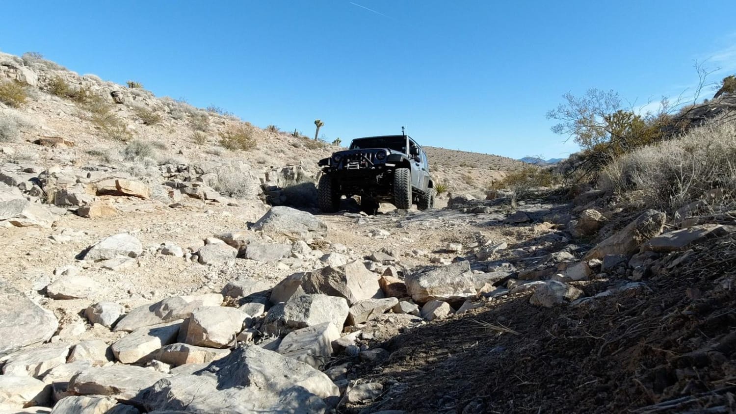
Railroad Canyon

Railroad Canyon

Railroad Canyon is a moderate trail just south of Las Vegas. It begins by crossing underneath the railroad tracks at a tunnel built in 1929. You then roll through a series of hills with great…
Learn more about Railroad Canyon
Total Miles
4.2
Tech Rating
5 Moderate
Best Time
Spring, Summer, Fall, Winter
Learn more about Rainbow Mountain Road
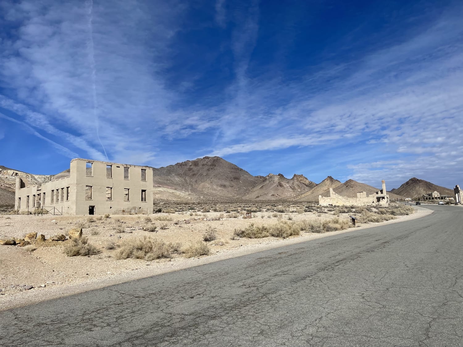
Rainbow Mountain Road

Rainbow Mountain Road

A mostly east trail that begins or ends at the Rhyolite ghost town on the western end of the trail. The ghost town is somewhat preserved with many structures still standing and lots to explore,…
Learn more about Rainbow Mountain Road
Total Miles
4.0
Tech Rating
3 Easy
Best Time
Winter, Fall, Spring
Learn more about Rainbow Pass Road
Rainbow Pass Road

Rainbow Pass Road

Rainbow Pass Road is a 4.7-mile point-to-point trail rated 2 of 10 located in Lincoln County, Nevada. Rainbow Pass Road is located on the extreme western end of the Tule Desert, a subsection of the…
Learn more about Rainbow Pass Road
Total Miles
4.7
Tech Rating
2 Easy
Best Time
Spring, Summer, Fall, Winter

The onX Offroad Difference

onX Offroad combines trail photos, descriptions, difficulty ratings, width restrictions, seasonality, and more in a user-friendly interface. Available on all devices, with offline access and full compatibility with CarPlay and Android Auto. Discover what you’re missing today!