Trail Overview
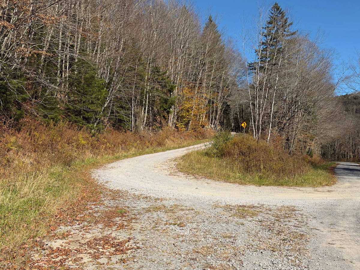
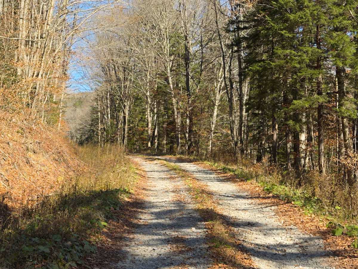
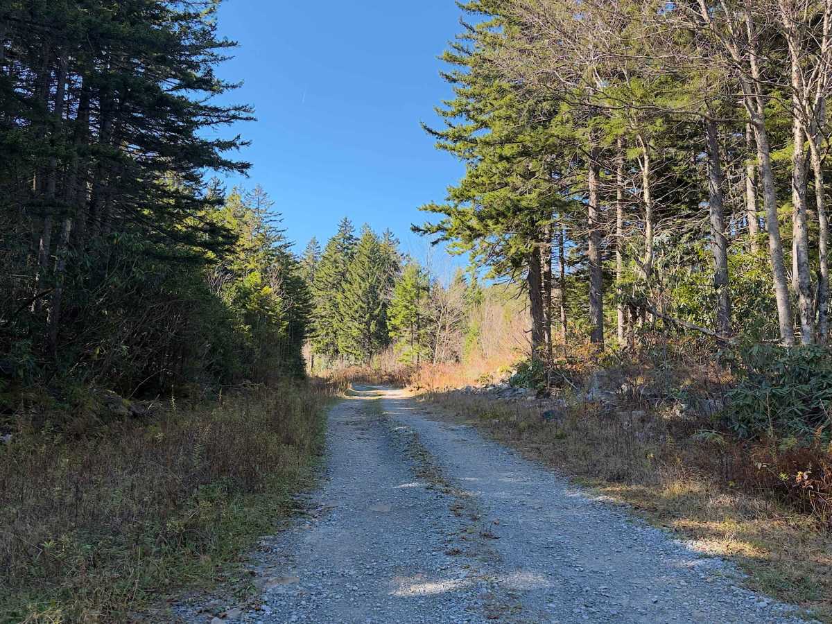
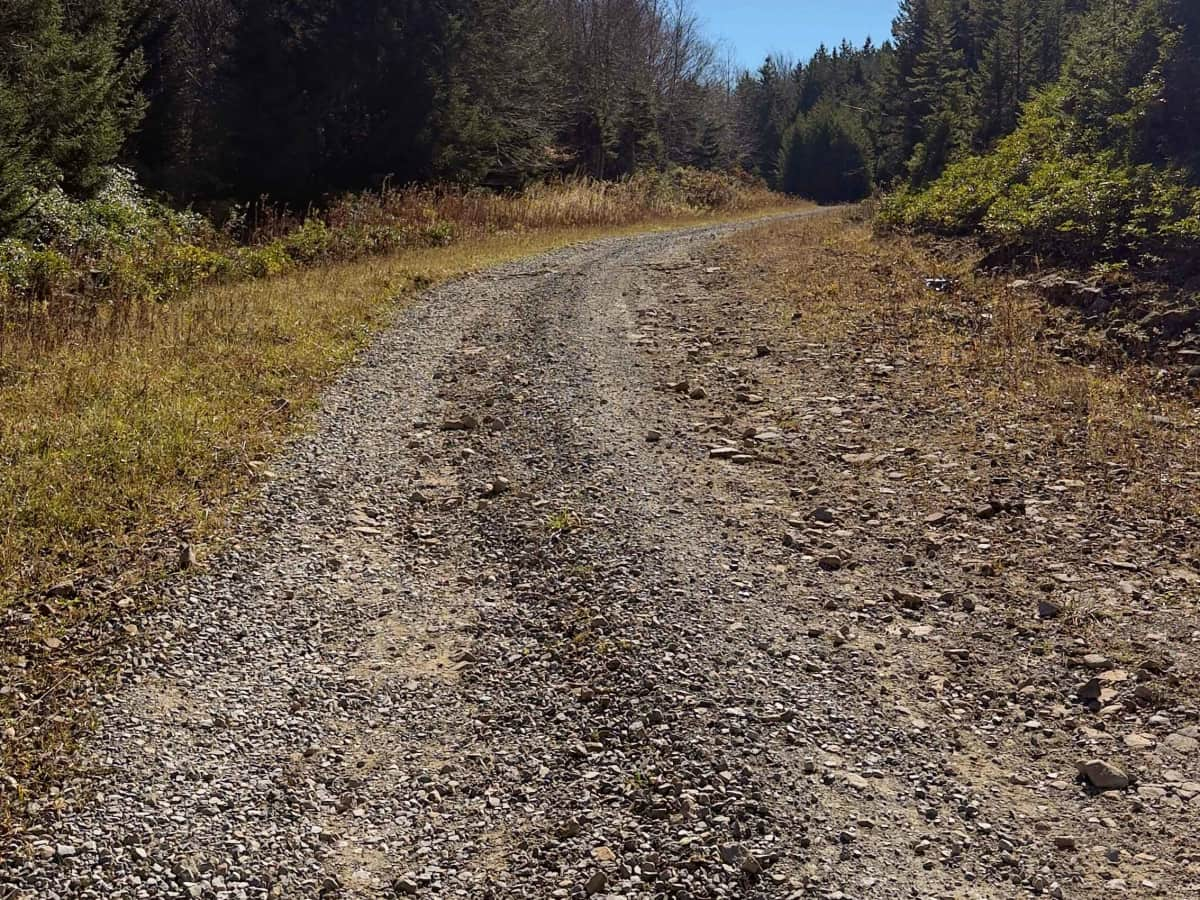
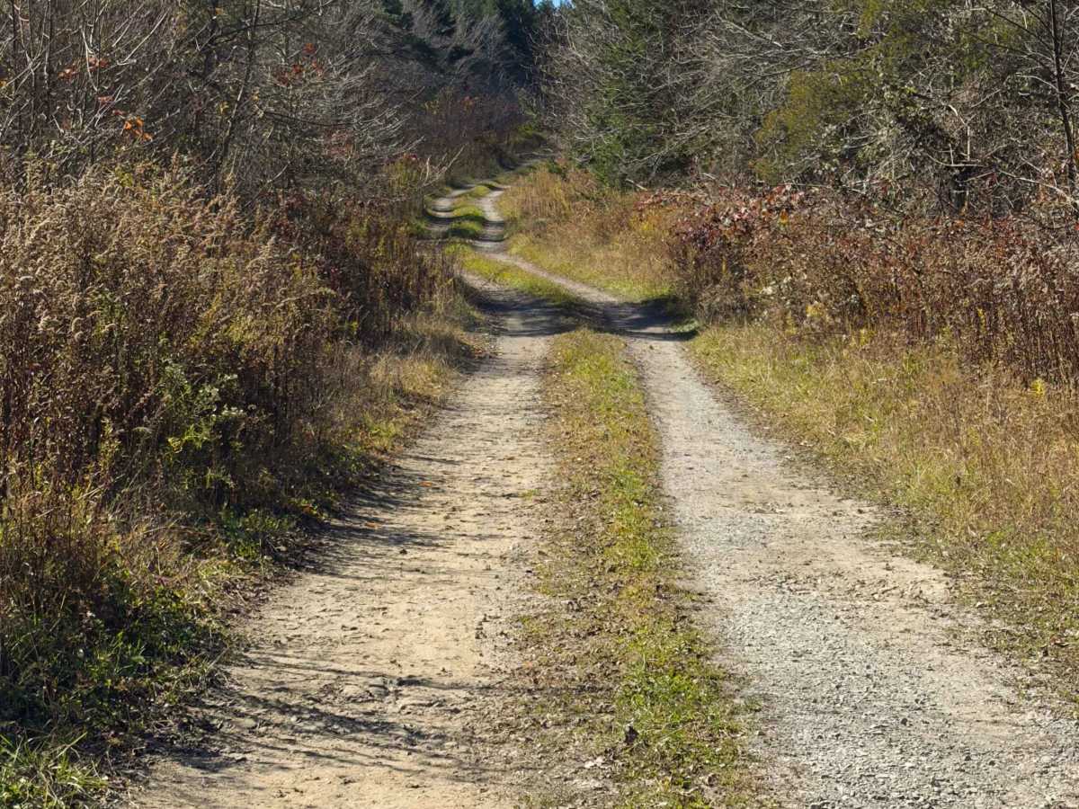
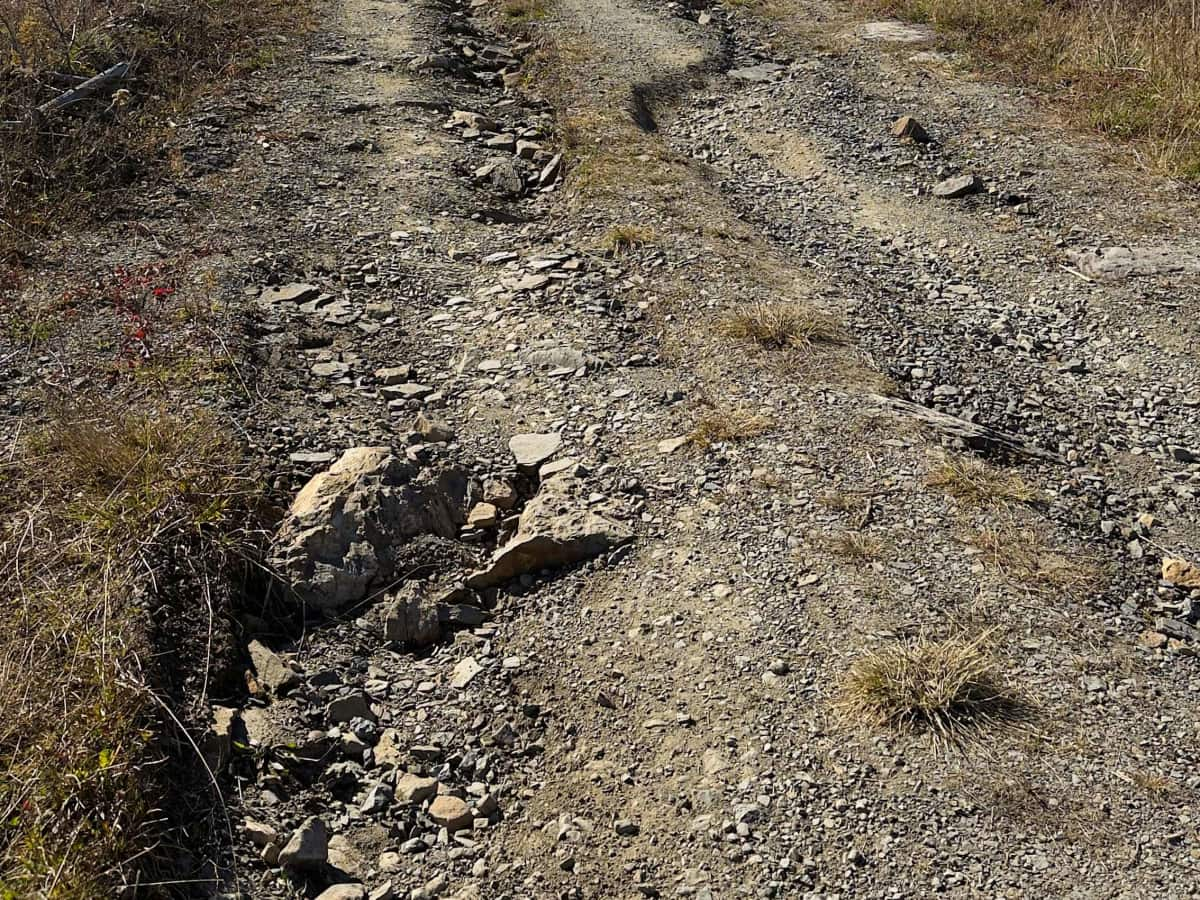
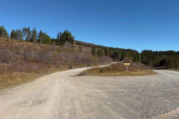
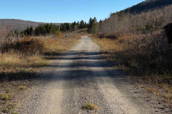
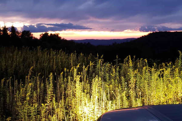
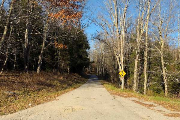
Hearth's Hill - FS 233A is a 3.8-mile, single-lane forest road in West Virginia's Monongahela National Forest, offering a more rugged driving experience than many of the maintained gravel roads in the surrounding area. The route travels through a mixture of hardwood forest, evergreens, and open areas shaped by historic logging and mining activity on Cheat Mountain. Its dirt and gravel surface features loose rocks, erosion ruts, and uneven sections. The US Forest Service designates the road for high-clearance vehicles, although a stock 4WD vehicle should be capable of navigating the route under favorable conditions. Interpretive signs along the way explain ongoing ecological restoration efforts, including soil rehabilitation and the reestablishment of native red spruce forests. The road eventually reaches a scenic ridge near Snyder Knob, which rises to approximately 4,695 feet, before ending at a series of rock barriers. Drivers must turn around and retrace their route, making this an enjoyable out-and-back adventure combining mild technical driving with mountain scenery.
Difficulty
Rated 2/10, Hearth's Hill features rough dirt and gravel, exposed rocks, and erosion ruts that require more careful driving than nearby maintained forest roads. The Forest Service classifies the route as high-clearance, and a stock 4x4 is recommended, particularly where uneven surfaces or wet conditions may reduce traction.