
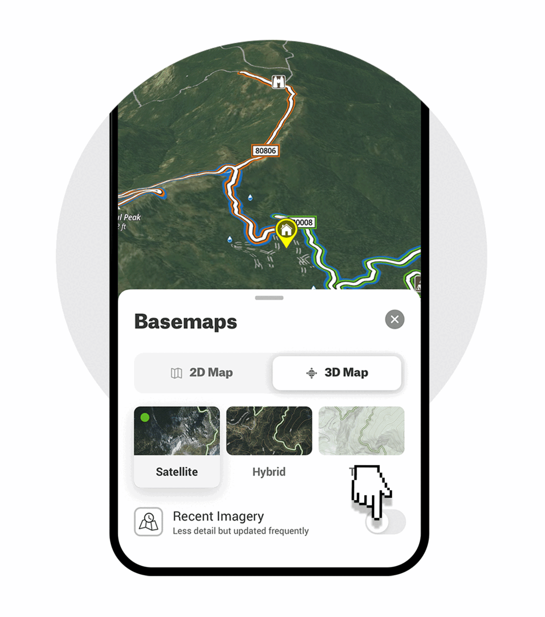
Recent Imagery
onX’s Recent Imagery feature provides “unparalleled visibility” according to TIME magazine’s Best Inventions of 2023.
Plan your outdoor adventures with confidence using onX’s Recent Imagery feature, showing on-the-ground conditions updated every two weeks. Available with onX Hunt, onX Offroad, and onX Backcountry Elite Memberships.
Critical Adventure Information
Recent Imagery puts important information about current recreation conditions at outdoor enthusiasts’ fingertips, with medium-resolution (5-meter) satellite imagery updated every two weeks.
With a near-real-time view and the ability to scroll back in time, outdoor adventurers can better understand current conditions, landscape changes, and historical trends in their area of interest.
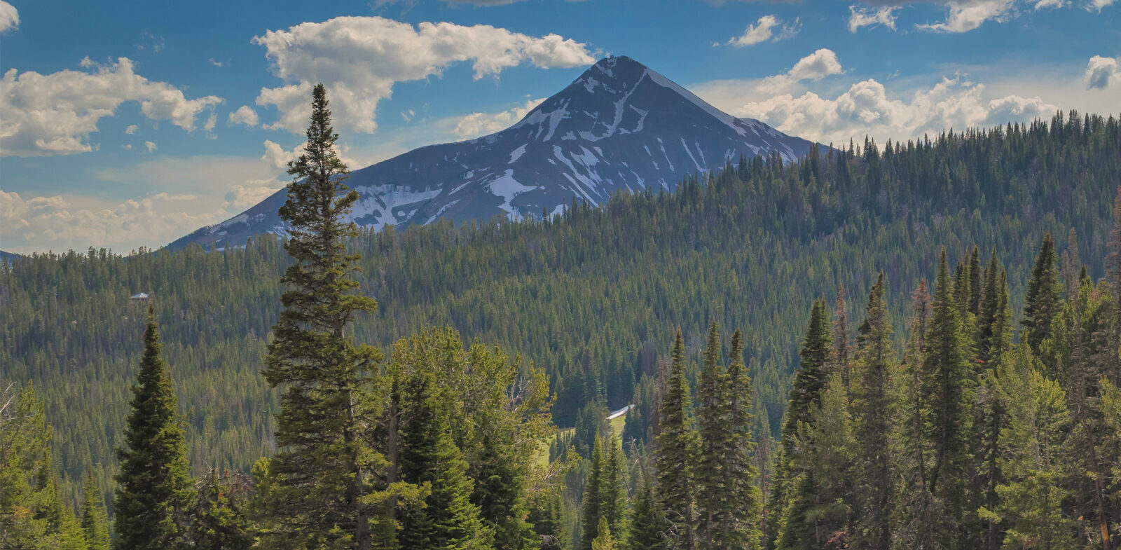
Valuable insights like impacts from recent wildfires or floods, mud, snow, and ice, or even water levels over time can aid in planning when, where, and how a hunter, hiker, skier, or off-roader recreates. Recent Imagery can help adventurers make safer, more informed, decisions in the outdoors.
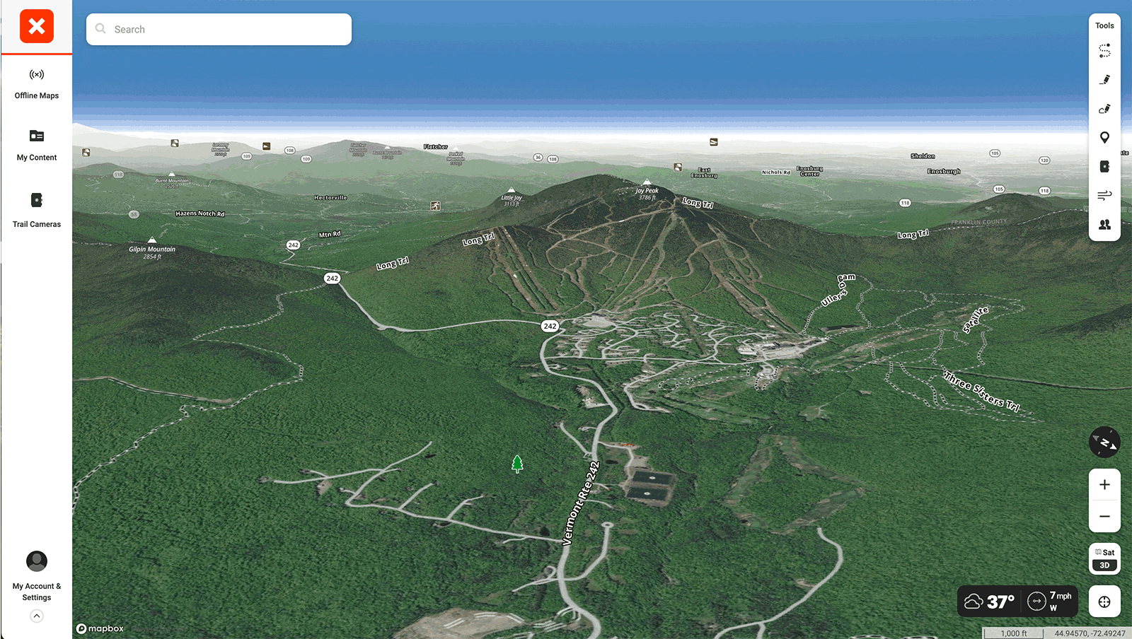
Recent Imagery in Action
Below is a sample of recent imagery over Jay Peak, Vermont, as of October 16, 2023.
Find Recent Imagery in the Following onX Apps
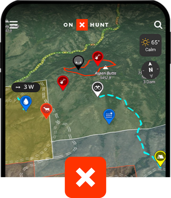
onX Hunt
Trusted by millions of hunters
- 852 Million Acres of Public Land
- Color-Coded Public and Private Land Boundaries
- Pro Deals on Top Hunting Brands
- Trail-Cam Integration
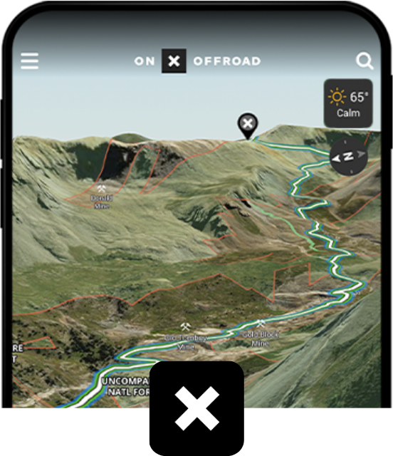
onX Offroad
Go farther with confidence
- 650K+ Miles of Off-Road Trails
- Color-Coded Public and Private Land Boundaries
- Dirt Mode and Snow Mode for Year-Round Adventures
- Route Builder and Customizable Map Tools
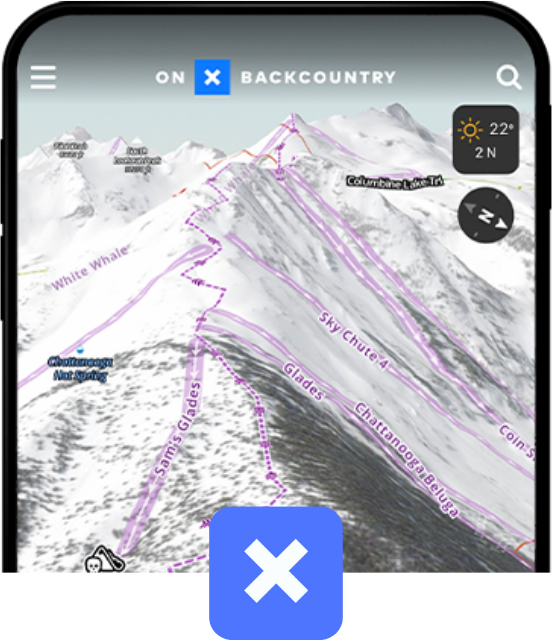
onX Backcountry
Discover trails near you
- 770K+ Miles of Hiking, Biking, and Backcountry Skiing Trails
- Color-Coded Public and Private Land Boundaries
- 500K Recreation Points
- Local Weather and Daily Avalanche Forecasts
See What Our Ambassadors Think
We work with ambassadors across the outdoor industry to give us feedback and guidance to make sure we are providing onX members with features that will enhance their adventures.


By The Numbers
Get access to thousands of trails and millions of acres of public land across the nation for all of your outdoor pursuits.