More than 6.35 million acres of state lands are entirely landlocked by private lands, preventing legal access for outdoor recreation without permission from a neighboring landowner.
Throughout 2019, we have been working with the Theodore Roosevelt Conservation Partnership (TRCP) to identify the extent of the landlocked problem and potential solutions of how to help make improvements. Last year, we teamed with TRCP to create the Off Limits, But Within Reach report on landlocked federal lands in 13 Western states, a report that was presented to the press, the public and to lawmakers in Washington, D.C.

This year’s report builds upon that foundation, delving further into the topic of landlocked lands—this time quantifying the number of state lands that are landlocked in 11 Western states. By helping to identify collaborative, positive and proven solutions with the help of state agencies and private landowners, onX and TRCP hope this report will help clarify opportunities to increase access for hunters and anglers throughout the West.
From the report:
America’s public outdoor recreation opportunities aren’t always found on national forests, national wildlife refuges or BLM lands. In fact, the lands held and managed by individual states in the West offer some of the nation’s finest hunting and fishing opportunities. More than 49 million acres of these lands—including state trust lands, state forests, wildlife management areas and state parks—across 11 Western states comprise a unique public lands legacy shaped by a complicated past.
But 6.35 million acres of those state lands—a vast majority of them trust lands—are entirely surrounded, or “landlocked,” by private lands and therefore inaccessible to sportsmen and women without permission from a neighboring landowner.
Public land access is the engine that drives an outdoor recreation economy worth more than $887 billion in annual consumer spending. Nearly three-quarters of Western hunters depend on public lands for some or all of their access. Modern smartphone and handheld GPS technologies offer new opportunities to discover public access to isolated and unmarked pieces of public ground.
By allowing today’s sportsmen and women to know exactly where they stand on the landscape—and to discern property boundaries unidentified by fencing, signage or stakes—this technology enables hunters and anglers to capitalize on previously hard-to-identify opportunities. Knowing where a piece of public ground intersects with a public road, or how to reach a larger parcel by traveling through a narrow strip of accessible public land, can open a world of possibilities without the risk of trespassing on privately owned land.
Because of the West’s unique history, state trust lands—much like BLM lands—are often scattered among private holdings, undeveloped without parking areas or trailheads and are seemingly tailor-made for these types of recreation opportunities. But in many cases these lands lie untouched by public roadways or adjacent public lands, and lack easements that would allow travel to them, leaving them “landlocked” and off-limits to the public.
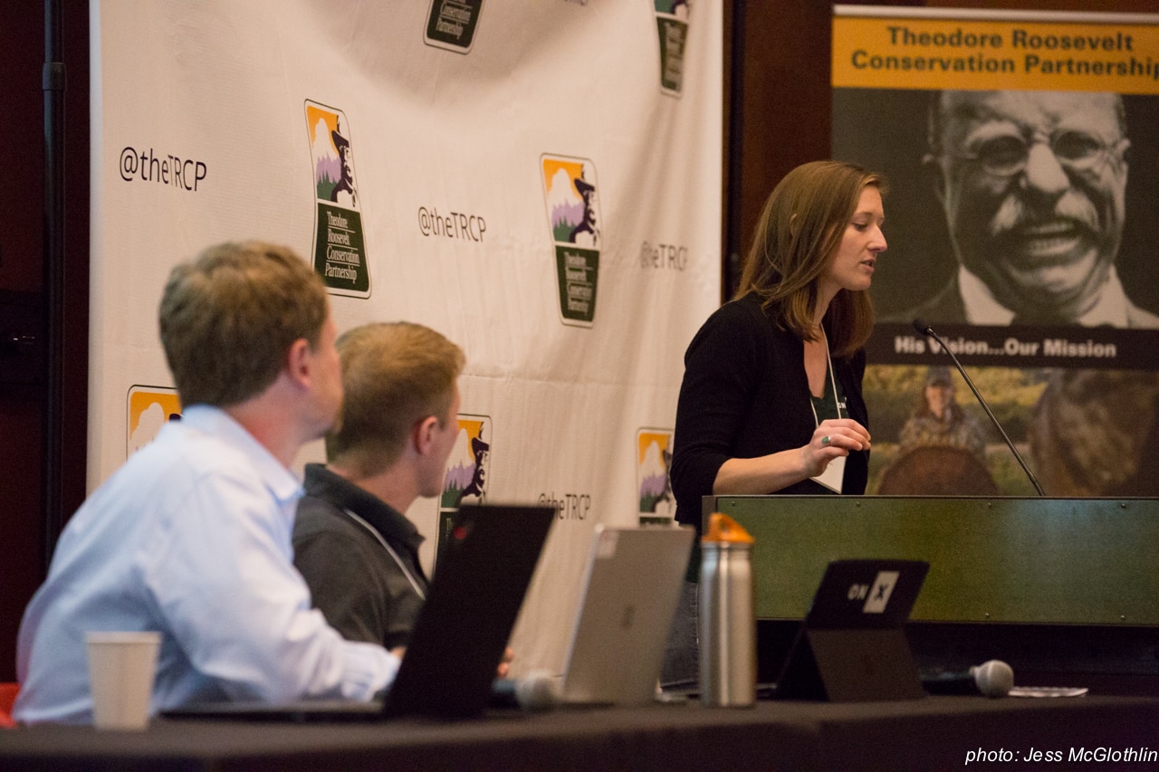
This past Monday, the full report was presented to a room brimming with the best outdoor media, conservation experts and industry leaders gathered in Seattle, Washington for the Theodore Roosevelt Conservation Partnership (TRCP) Western Media Summit. The group convened in Seattle to discuss topics including wildlife migration corridors, salmon and steelhead conservation, the National Forest System and more.
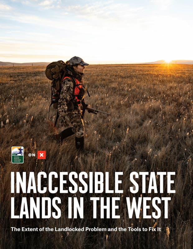
The report premiered to press and industry leaders at the event and is now available for the public to view on our Landlocked page. The 15-page report discusses the foundation of the problem, how we arrived at the acreage listed in the report and outlines several possible solutions to help open more access for sportsmen and women.

“Handheld GPS technologies have revolutionized how the recreating public finds and uses state and federal lands, making millions of acres of small public land tracts easy to discover and explore, both safely and legally,” noted onX Founder Eric Siegfried in a press release on Monday. “GPS technologies have also helped us all become personally aware that inaccessible public lands are scattered throughout the Western landscape, and onX is eager to help identify the extent of the landlocked challenge and showcase the collaborative tools to make improvements.

So how we did we work to find these numbers? Here’s a look at how onX’s GIS (geographic information system; the people who ensure the data on your app is as up-to-date and accurate as possible) team has worked to pull together the numbers for the report (read more on page 8 of the report).
For the purposes of this report, landlocked public lands are defined as state-managed lands that cannot be accessed directly from a public road (direct access) and cannot be accessed via adjoining public land by way of a public road (indirect access). Only permanent legal access was considered for this report, but existing access across some private lands may be given at the discretion of the landowner, and in many places permanent public access is assumed but not proven. Unless such access is legally documented, it was not included in our analysis. To create the most comprehensive picture of land ownership, dirt roads and trails in the United States, onX compiles and refines data from a collection of carefully-vetted sources, including county, state and federal agencies, using only the most trustworthy information from each after cross-referencing the various data.
Want to see the numbers for yourself? A downloadable copy of Inaccessible State Lands in the West can be found on our Landlocked State Lands page.
The report finishes by reviewing examples of access program success stories, including dedicated state staff and programs, walk-in access programs and the Land and Water Conservation Fund.
So what can you do to help? Look for access opportunities in and around your community and the areas you hold dear to your heart. Use onX to discover which parcels are key to making a connection to a landlocked or otherwise hard-to-access parcel of public land. Ask local officials if easements are secured on roads and trails that are routed through private land. Discover what parcels are key to making a trail connection from your community to public land.
When you identify an opportunity, reach out to onX, TRCP, RMEF or your local land trust with your ideas and support. Get to know your local land trust: do your research into their priorities, objectives and methods, then consider volunteering your time or donating to their land acquisition efforts. And respect private property: ask permission before crossing and act responsibly.
Here are onX, We’re advocating for full funding of the Land and Water Conservation Fund, dedicated access staff and programs, land swaps with willing landowners to correct for checkerboarding / isolated parcels and state programs that encourage private landowners to open their land for outdoor recreation and hunting access.
