Hunt App
How-tos and product updates to help you get the most out of the onX Hunt App.
Hunt App
Looking for a new hunting spot? Check out our tips on finding and evaluating public and private hunting land.
Hunt App
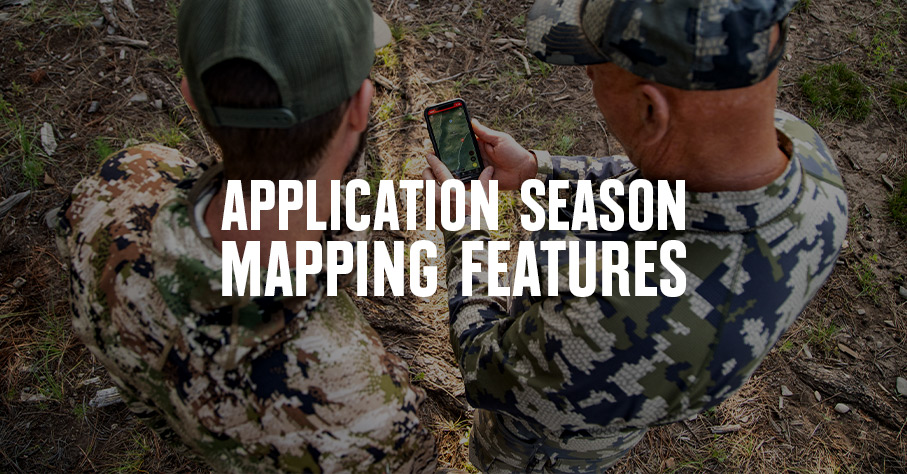
Learn about onX Hunt Tools that help you determine where to apply for tags, and which strategies might be best for your upcoming season.

Learn how to create and download an Offline Map for your next outing.
1:33

See TerrainX in action as Dylan highlights how its capabilities help you find the perfect spot.
00:41

We answer top questions about the Hunt App, including how to turn on Map Layers, use Offline Maps, and track yourself.
5:59
Hunt App
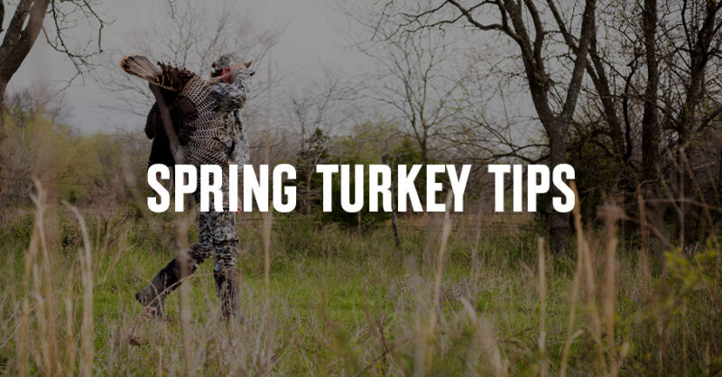
Learn how to scout for turkeys by identifying key habitat, roost areas, and travel routes on a map. Use onX Hunt to find more spring turkeys on public land.

Hunt App
Need to change states? Learn how to add and remove states. Available for Premium Two-State and Elite Members.
Hunt App
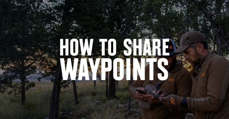
onX takes away any uncertainty in giving directions with its Waypoints sharing feature. Learn how to share your locations on the map.
Hunt App
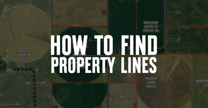
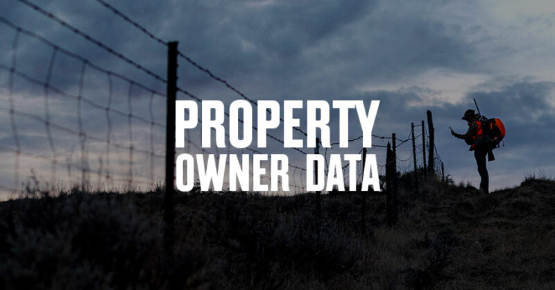
Curious how to find property lines? Learn how property lines are determined and how to use the Hunt App to see boundaries.

Hunt App
Find out what onX Hunt App features are currently available for Canada. Learn more.
Hunt App
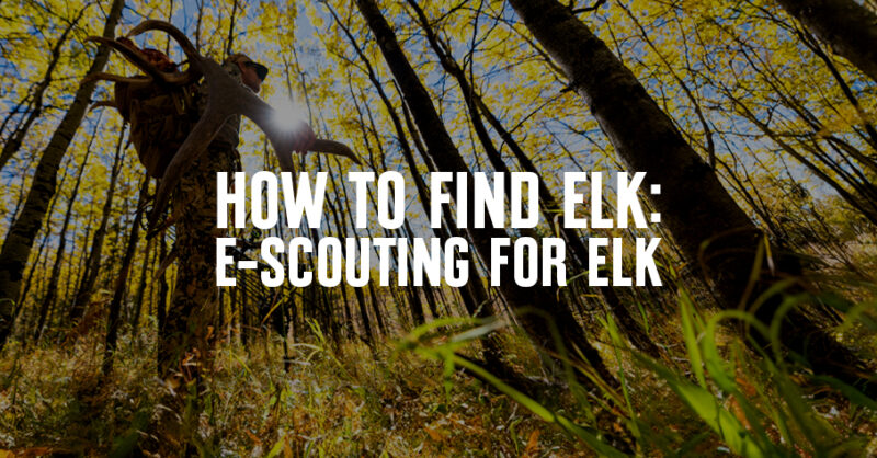
Looking to optimize your elk e-scouting? Cody Rich shares how he finds elk, including his step-by-step process for creating Plans A, B, and C.
Hunt App
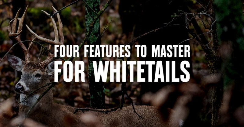
There are four must-master onX Hunt features for whitetail hunters that will set your next season apart, including Waypoints, Tracker, Wind Tools, and Weather.
Hunt App
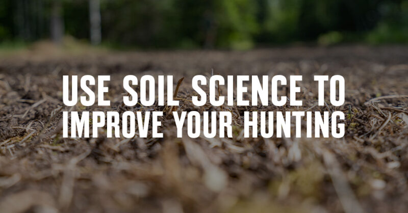
With onX Hunt’s Soil Capability Map Layer, get Soil Web Survey insights to plan food plots or understand where to find natural food sources.

Hunt App
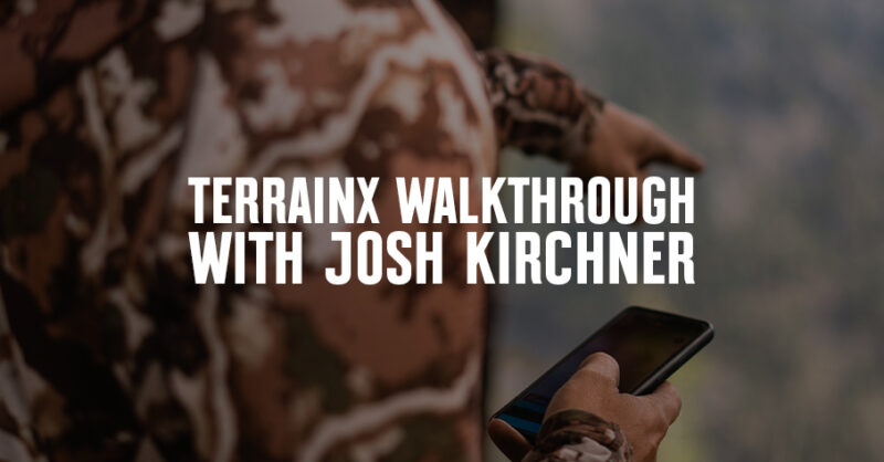
Josh Kirchner walks onX Hunt users through how to use Compass Mode for the best ways to make the most of their hunt.

Hunt App
We save all of your waypoints, lines, shapes and tracks on encrypted servers which no one has access but you. We highly advise you back up your data. Learn more
Hunt App
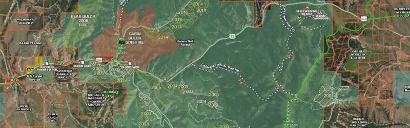
Learn how onX Hunt Map Layers support your pursuits by giving you insights into historic wildfires, deciduous vs. coniferous tree distribution, roadless areas, and more.
Hunt App
Explore how to e-scout with TerrainX. See how to use elevation bands, slope angle shading, slope aspect, and viewshed.
Hunt App
While we source all information from a broad variety of sources, one of the most challenging is maintaining updated private land ownership information. We’re beholden to external sources for this information, and can only update our information within the onX Hunt App when these sources themselves are updated.
Hunt App
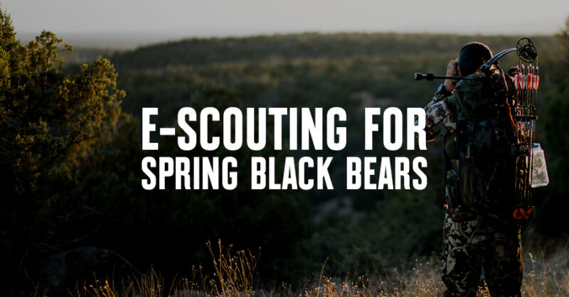
Josh Kirchner walks onX Hunt users through e-scouting for spring black bears.
Hunt App
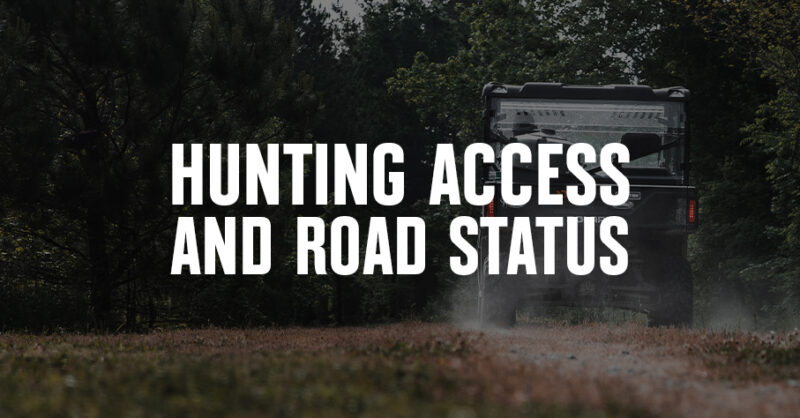
Use the onX Hunt App to research road and trail accessibility. Check Forest Service roads, Motor Vehicle Use Maps (MVUM), and more.
Learn
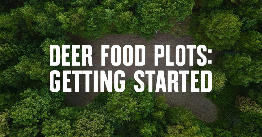
If you’re planning deer food plot projects, read up on food plot design, soil prep, and regional tips on what and when to plant.
Learn
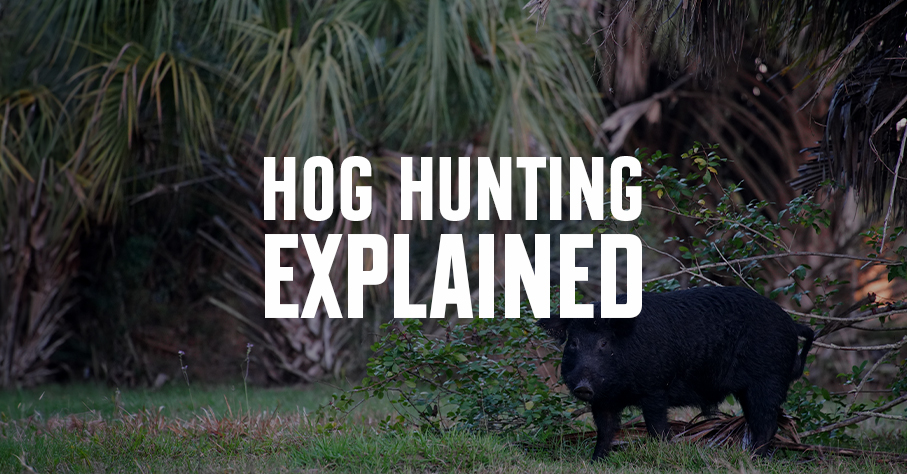
Considering a wild hog hunt? First get to know the species: We explain why they’re here and explore the havoc they cause. Then, we offer tips for hunting feral pigs.
Food & Cooking
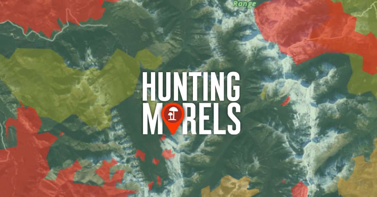
Learn the tools and tricks that expert morel hunters use to find morel mushrooms year after year. Try onX Hunt today. No credit card required.