onX Hunt’s Walk-In Layers help you find public access to private land.
We tend to think of land in one of two ways—it’s either public or private. If it’s public, we’re free to roam and pursue our favorite species. If it’s private, we stay away until we are able to obtain permission. With trends in private land access moving in the wrong direction for hunters, it can feel like hunting pressure is only increasing on public land. There is another category of land, however, that can be easy to overlook.

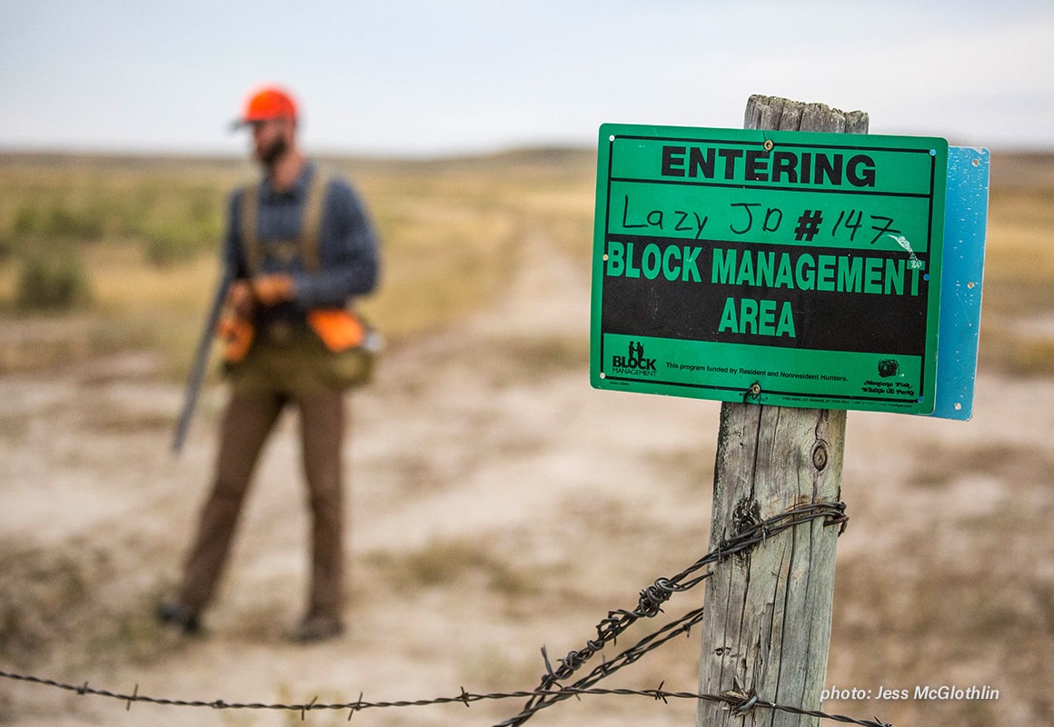
This land goes by many names across the country—Block Management in Montana, Hunting Access Program in Michigan, and Cooperative Wildlife Management Units in Utah, for example. More broadly, these programs can be called Walk-In Areas. In each of these cases, the state wildlife agencies have partnered with private landowners to open up recreational access to hunters on private land. It is up to you to research your state regulations in order to determine what you must do to lawfully access these lands, though, as the requirements are varied due to the nature of these state-administered programs. Additionally, not every state utilizes this type of arrangement.

onX Hunt provides Walk-In Layers for states in which these programs exist. You’ll find the Layer under the State Heading in your Layer Library, and walk-in areas on your map will be outlined in black and covered with a grid of red dots. As with many of our layers, these red dots will fade as you zoom in, allowing you to view markups and Basemap features without obstruction.
As you’re gearing up for the fall and scouting new hunting areas, make sure to turn on the Walk-In Layer in your onX Hunt App to see what opportunities may exist near you. Some of these areas receive heavy pressure, but a little research and recon might just open up a productive new area.