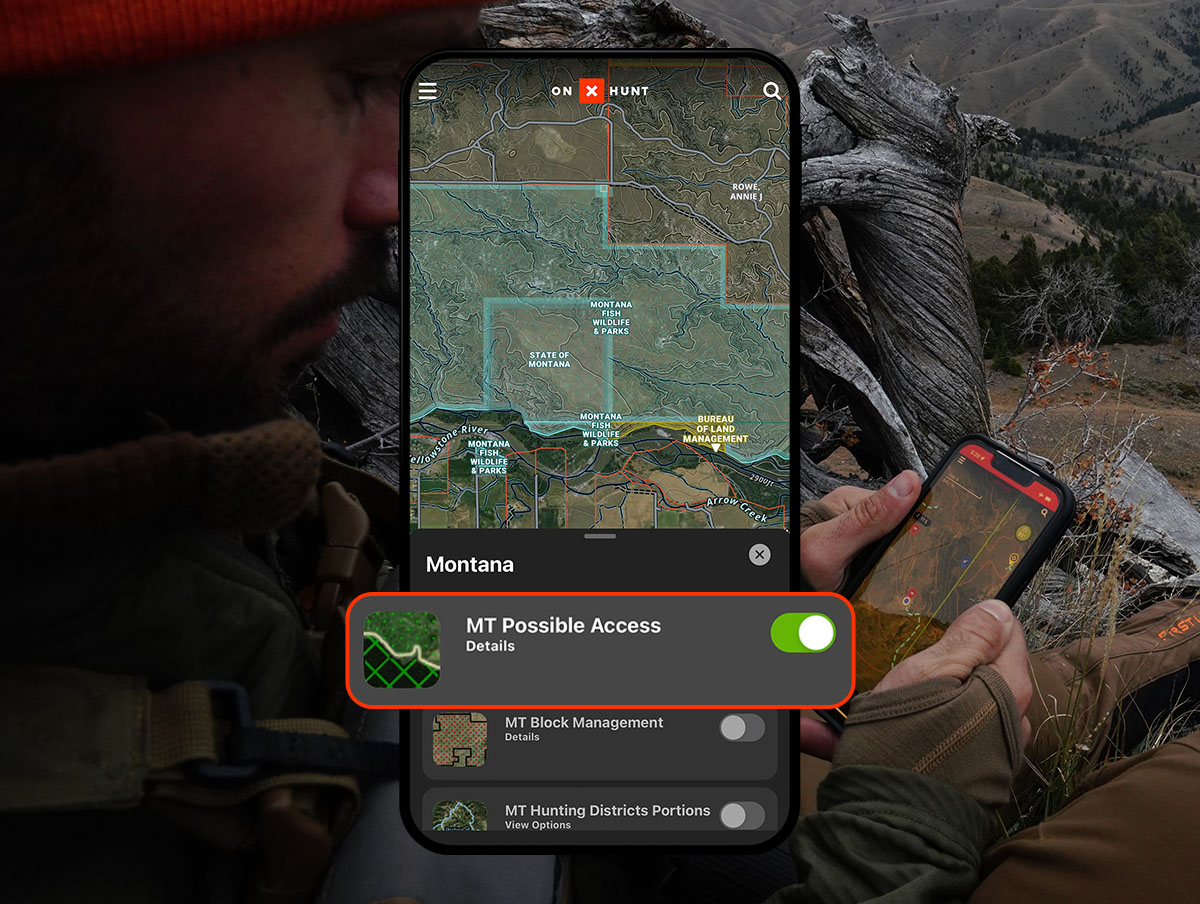
Looking for a new hunting area? The Possible Access Layer in the onX Hunt App can help you find your next hunting spot.
There were two weeks left in Montana’s hunting season, and the rut was finally kicking off. I pulled up to the parking area of my favorite hunting spot with an hour to go before legal shooting light. My heart sank, however, when my headlights turned the corner and illuminated my worst nightmare—I had lost the race. Two trucks sat parked by the gate, and by noon there would be five. With only two weekends left to hunt, I had to find a new spot.
Every hunter wants the woods to themselves. We are always looking for that new secret hunting spot to call our own, but we often don’t know where to access new land.
Until now.
For years, onX’s in-house GIS (geographic information system) technicians have studied large privately owned lands across the country that occasionally grant public recreational access. From private timberland in the West to non-governmental and non-profit lands in the East, the team has compiled information to create a database containing nearly 30 million acres of possible access to hunting areas.

Find New Hunting Areas
In the onX Hunt App and Web Map, under “Hunt Map Layers,” each state has a “Possible Access” Map Layer. Turn the Possible Access Map Layer on to reveal various types of areas that may be open for hunting access, including:
- Timber Access – In many cases, a timber company will allow public access to their lands with minimal restrictions (barring fires, for example) without requiring a permit or prior permission. Some companies will allow access with restrictions such as a formal leasing program or permit requirement. Sometimes, these lands are managed by a forestry consulting company that manages the leasing and permitting programs. All Possible Access timber lands are represented with green dots on the map.
- NGOs – Our research indicates that non-profit groups usually, but not always, allow public access to their lands without prior permission. However, certain parcels are not publicly accessible, so always do your research before setting out for one of these areas. All NGOs are represented by green diagonal lines on the map and include organizations such as The Conservation Fund, The Nature Conservancy, and The National Wildlife Federation.
- Misc. Access – These lands consist mostly of parcels owned by utility companies where our research indicates that public access may be allowed for recreational purposes. These potential hunting opportunities are designated via green Xs on the map.
Ownership Changes, So Double-Check Regs
Unfortunately, public access policies and their changes can be difficult to track. We urge users to view the Possible Access Map Layer as a starting point. To narrow down your search, tap on a possible access site. Timberlands will show one of two possible designations, access or unknown access, and might require further investigation. Other possible access lands, like NGOs and utility companies, will always need a deeper look to understand their policies.

How Born and Raised Used Possible Access Map Layers To Find Success
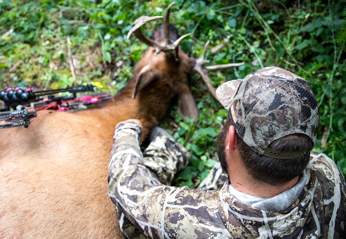
Times may have changed, but timber is still king in Oregon. When the Weyerharuser timber company purchased Plum Creek, hunters were left to figure out how to navigate the new pay-to-play rules on land that had been public for decades. The team at Born and Raised Outdoors used the Possible Access layer and found incredible success, tagging six bulls in the Beaver State. This accomplishment was the result of finding land that was not heavily trafficked by other hunters and confidently maneuvering through the pay-to-play boundaries of other timber company land.
“It’s been a game changer for us,” Born and Raised Outdoors’ Trent Fisher said. “It’s allowed us to hunt areas we didn’t know we could before and dramatically increased our success.”