Colored Waypoints were one of the most commonly requested features by onX Hunt customers, so we delivered.
One of the most useful features of onX Hunt is the degree to which users can customize their maps to work for them. The needs of a whitetail hunter in the East managing a property for food and habitat are not the same as a Western elk hunter who primarily hunts public land. onX Hunt’s map customization tools, however, allow each of these users to find immense value in our maps.
We receive a substantial amount of feedback from our users, and we love hearing how onX Hunt helped a user take the bull of a lifetime or how a search and rescue crew used the Hunt App to assist in locating a lost hiker. A substantial amount of that feedback, however, is requests for new and expanded App features—that’s how colored Waypoints came about. We even went a little further by adding a slew of new Waypoint icons as well.
How you use these new features is, of course, up to you. To give you some ideas, we’ve highlighted a few specific use cases below.
Scouting

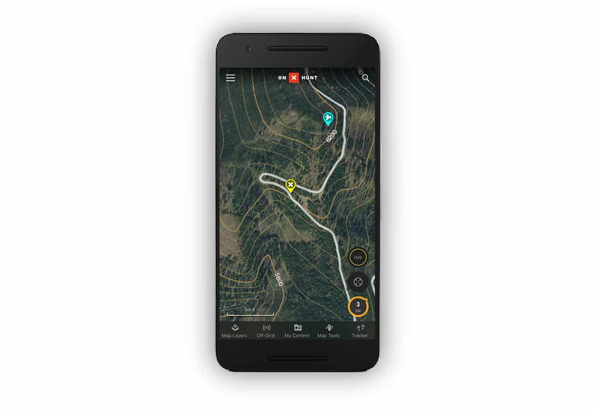
Perhaps the most obvious use for colored Waypoints is during scouting. In the image above, an onX team member who is primarily an upland hunter identified the spot marked with a yellow Waypoint while e-scouting using the onX Web Map at home. A few weeks later, he hiked into the area and confirmed his suspicions when he bumped a bird off the knob, which is denoted by the blue Waypoint above.
Whitetail Stands by Time of Day

One onX team member utilizes colored Waypoints to distinguish between predominantly a.m. and p.m. tree stands. Once he has determined predominant wind direction and studied game camera pictures, he places his stands and marks them with white and blue Waypoints that allow him to quickly distinguish between those stands he thinks will be most productive in the morning and those that he will use in the evening.
Elk Observations by Year

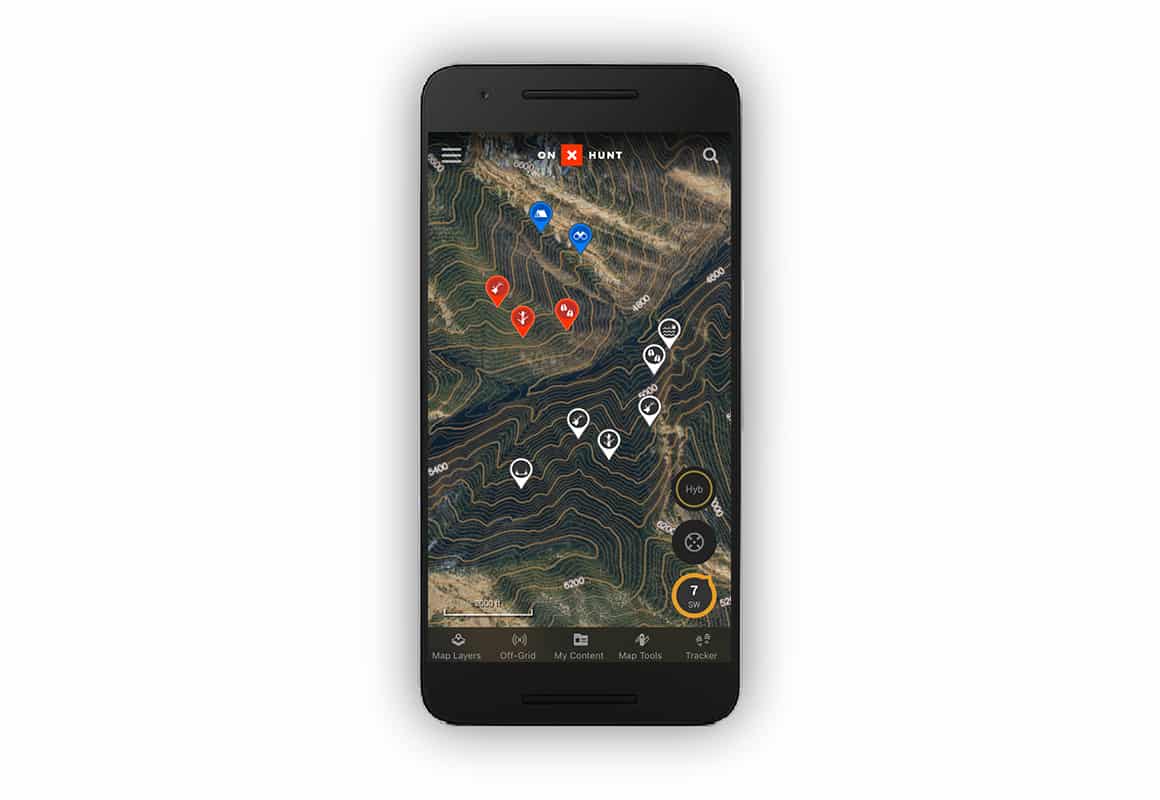
Finally, another onX team member likes using colored Waypoints to differentiate elk activity by year. In the image above, he has marked his preferred camp and glassing spots in blue. Then, he has used the red and white Waypoints to denote elk and elk sign in the area over the last two years. Last year’s Waypoints provide a foundation for scouting, but this year’s sightings will be prioritized.
These are just a few of the possible uses for colored Waypoints, so spend some time in our hunting GPS and on the Web Map to figure out how this feature can best work for you. And keep sending your ideas our way. Our promise to you is that we will continue to listen to your suggestions and improve the onX Hunt App at every opportunity.
And in case you were wondering, we’ve been receiving a lot of requests for a Bigfoot Sighting Layer—it’s not happening.
Yet.