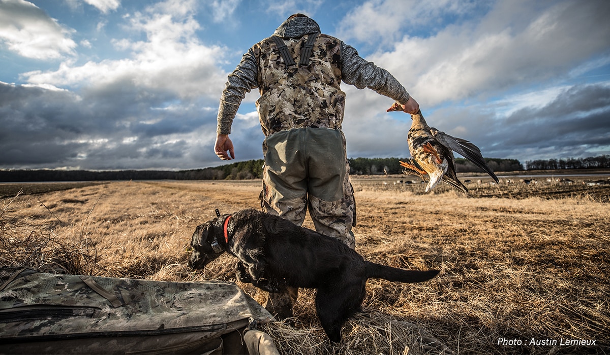
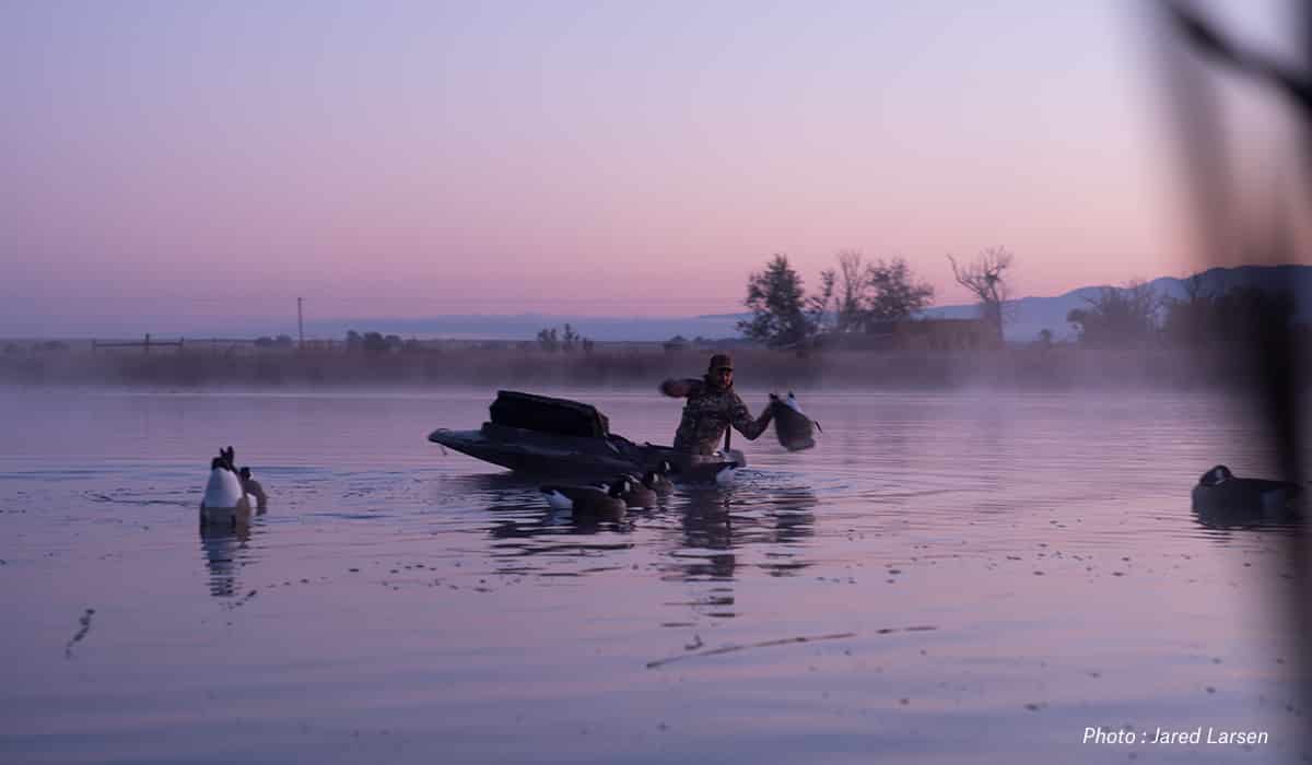
The onX Hunt App can be used cross-functionally across all species of game in the United States, but waterfowl hunters have as strong of a use case for the Hunt App as anyone.
The onX office has more than a handful of hardcore waterfowlers who put the Hunt App to the test each and every weekend from late September well into January. Here’s a look at the features we find ourselves using most often throughout the migration.
E-Scouting
Using our Web Map can quickly help you narrow down great areas to put in some windshield time to find birds and help save you some gas money. Using our aerial imagery, you can find potholes, marshes, creeks, rivers, irrigation ditches, and overlooked pieces of water that will hold birds. Couple that with agricultural fields or other known food sources within close proximity to this water and you’ll have a great start on effective waterfowl scouting.

Scouting
It could be argued that successful waterfowl hunting is more dependent on scouting than any other type of hunting. With feeding and roosting patterns changing almost daily for much of the season, waterfowlers have to be extremely dynamic. This usually means putting miles on your rig in search of what birds are doing.
Of course, our Public/Private Layers play a huge part in this. These layers not only allow you to hone in on public ground that holds birds, but also allows you to track down the correct landowner to seek permission from— which we will get to shortly.
One feature I always use when scouting is our Tracker. I turn it on when I leave the house and let it track my entire scout, allowing me to know exactly where I’ve been on each and every scouting mission. This data becomes especially useful if you have other buddies out scouting as well so you can compare and contrast where you have and, just as importantly, have not checked out. These tracks are also useful year over year; oftentimes you’ll find birds using similar and sometimes even the same pieces of water or food sources year after year. This will help you cut down on your scouting time and maximize your time in the blind.

Sharing
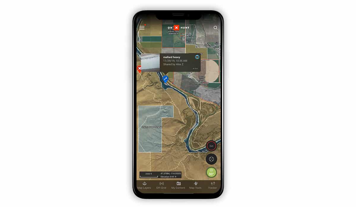
The ability to share scouting Tracks and Waypoints has become essential, especially when doing freelance hunts. This helps you get the most out of your scouting, ensuring you are covering different ground and keeping a history of where your group has and has not been. You can also instantly share Waypoints with one another where you find birds, noting whether they are ducks or geese as well as giving each other a better idea of what types of food and water birds are keying on at that particular time.

Obtaining Permission
The largest hurdle of waterfowl hunting is often finding who owns the property you find birds piling into. With the Hunt App, this is now a problem of the past. With the most up-to-date land ownership on the market, our Private Land Ownership Layer will not only give you the tax address of the registered owner of each property, but the associated name as well.
Here are tips we’ve found that increase our success of gaining access when knocking on doors:
- Wear street clothes when knocking on doors; it makes you feel more approachable.
- Greet them by last name to establish validity, such as “Hello Mr. Williams, my name is…”.
- Step away from the door after knocking and give them a chance to approach you; it makes the situation less intimidating.
- Choose just one or two people to knock on the door. Having to answer the door to a crew of unfamiliar people can be daunting.
- If hunting with kids, be sure to bring them with you to the door. It’s always more difficult for folks to say “no” to a youngster.
Using Waypoints
One of the best tools in the onX Hunt App for waterfowlers is Waypoints. Here are just a few ways Waypoints can be used:
- Marking where you find birds when scouting
- Marking cripples
- Blind locations
- The truck or boat ramp
- Landowners you have permission from as well as folks you intend to ask for permission
- Access points to drive into fields
- Areas you intend to scout
Using our different color options to mark ducks, geese, cranes, and other species you may chase will keep your map far more organized.
Photos can also be attached to Waypoints. When you find birds, snap a photo and attach it to that particular Waypoint (read how to add photos to Waypoints). When you follow up your scout hunting that area, you can then set a more natural decoy spread based on what you saw live birds doing.

Weather
Our newly-updated Wind & Weather feature now provides weather updates from nearly 10x the number of weather stations we’ve previously been able to access, via Weather Underground. This density of reporting stations provides hunters with extremely localized current and forecasted weather incorporated into the Hunt App. This will help you pick the most conducive days to be in the blind as well as help you plan your hunt around the forecasted wind direction.
Offline Maps
With Offline Maps, you can access saved maps from anywhere and easily locate yourself in the field. The GPS in your mobile device works perfectly offline, even when the network is nonexistent. So prepare your maps beforehand, save them as Offline Maps on your phone, and rest assured that even if you lose cellular service, you’ll know where you stand.
Ready to try the best hunting app for yourself?