Motor Vehicle Use Map (MVUM) App
Access 650K+ miles of off-road trails and roads in all fifty states with trail descriptions, detailed maps and offline GPS tracking — all for the cost of less than a tank of gas.
Access 650K+ miles of off-road trails and roads in all fifty states with trail descriptions, detailed maps and offline GPS tracking — all for the cost of less than a tank of gas.
Motor Vehicle Use Map (MVUM) App
onX Offroad offers an extensive collection of US Forest Service motor vehicle use maps (MVUMs)—all in one App. Access 650K+ miles of off-road trails and roads in all fifty states with trail descriptions, detailed maps, and offline GPS tracking.
Subscribe to Premium for nationwide access to trails and maps for only $34.99/year. Upgrade to Elite for nationwide maps, as well as private landowner information, for only $99.99/year.
What are MVUMs?
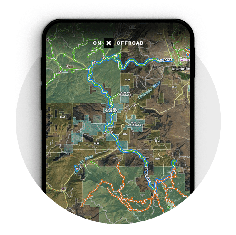
MVUMs are motor vehicle use maps distributed by the USDA Forest Service. The maps show legal, designated motorized travel within the National Forest System in places like Colorado, Utah, and Idaho.
Find MVUMs in the onX Offroad App
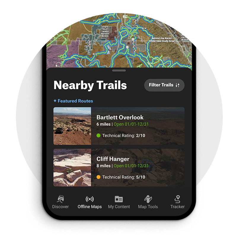
onX Offroad offers an extensive collection of US Forest Service motor vehicle use maps (MVUMs), all in one App. Access 615K+ miles of off-road trails and roads in all fifty states with trail descriptions, detailed maps, and offline GPS tracking. onX Offroad App works on Android and iOS devices, as well as on the web on your computer, and shows you which trails you can access depending on your vehicle. Simply select your vehicle, such as ATV, dirt bike, SXS, or overland vehicle, and look for green trails. Green=open. Red trails=temporarily closed. Blue=Featured Trails.
Unlimited Offline Maps—No Cell Service Required
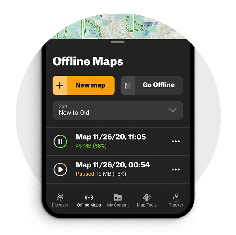
The onX Offroad App gives you access to all motor vehicle use maps, as well as all maps for the entire nation, even without service. Simply download the area you want to explore before you go. Choose the map detail level and pan or zoom to select an area of the map to save directly to your phone or tablet. You will then be able to view and interact with the map out of service.
Customize Your onX Offroad Maps
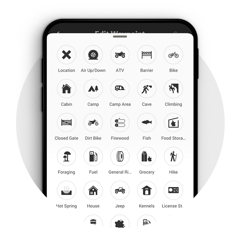
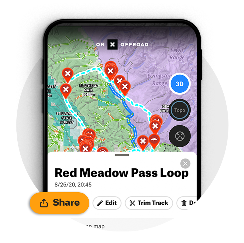
Tap a location anywhere on the map to add your own Waypoints for campsites, rock crawl areas, non-ethanol fuel stations, or where you parked the trailer. Track your route, distance, and speed, and save the Track for reference. Easily share Waypoints and Tracks with other onX Offroad users. All data syncs between your phone, iPad, and computer.
500K Recreation Points
Plan your next adventure around the 500,000 recreation points in the onX Offroad App, such as campgrounds and dispersed campsites, forest service cabins, boat launches, and trailheads. Tap a recreation point for more information.
EXPLORE WITH CONFIDENCE
onX Offroad is the most trusted off-road navigation App.