Recent Imagery for Off-Roading
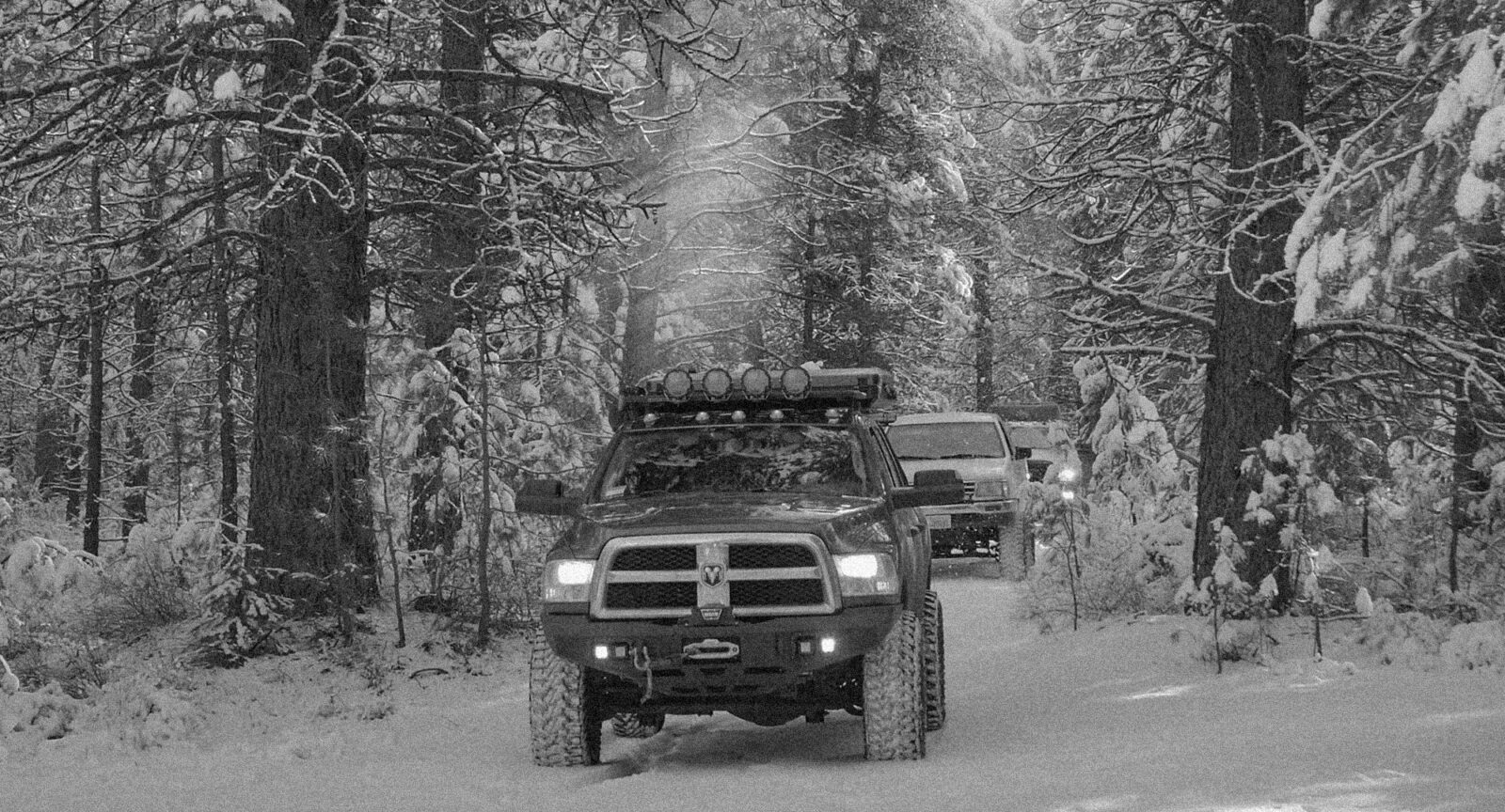
Scope the terrain and trail conditions with the most recent satellite imagery to plan precisely and navigate safe off-roading adventures. Exclusively with onX Offroad Elite.
Look Back. Plan Ahead. Do More.
Recent Imagery Feature
Recent Imagery gives you the insight to plan smarter and see if a route is accessible by watching trends in trails and terrain over time. Monitor changing snow lines, thawing bodies of water, field cuts, timber thinning, wildfires or prescribed burns, and much more with frequently updated, advanced aerial imagery.
How Does Recent Imagery Work?
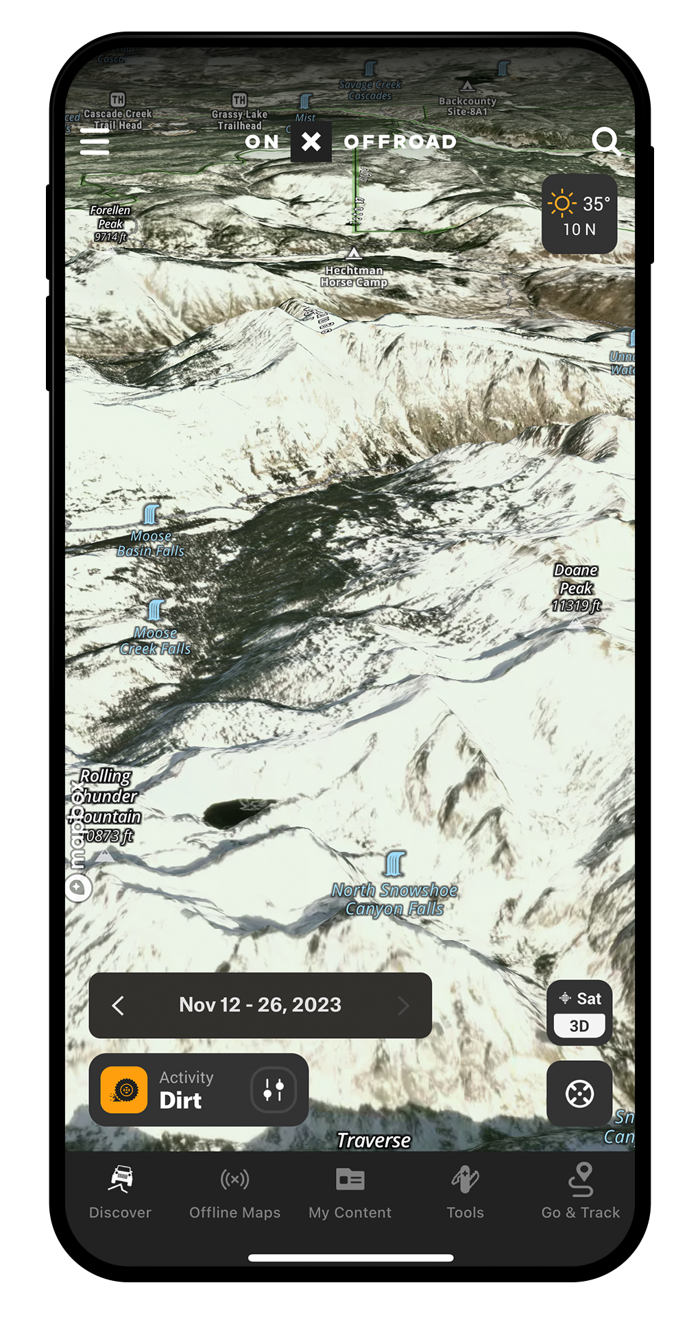
Elite users can select the Recent Imagery layer in your Basemaps Menu to apply medium-resolution (5-meter) imagery to your 2D and 3D maps that reflect conditions from two weeks prior (currently back to March 2023). Using the date range bar, toggle through previous conditions and track changes over time.
Recent Imagery was recognized as a top innovation for adventurers by Time Magazine
How To View Recent Imagery
This feature is only available for onX Offroad Elite Members.

In App
- Tap the Basemap button in the lower right corner of the map.
- Toggle the slider on next to “Recent Imagery.”
- Return to the map to view the advanced aerial imagery and scout the terrain.
- On the bottom left of the map, the dark grey bar above the Activity Mode shows the date range of the imagery.

On Desktop
- Click the Basemap Button in the lower right corner of the map.
- Toggle the slider on next to “Recent Imagery.”
- Choose “Add Content,” pan your map, add Routes, Waypoints, and Tracks.
- Select a Folder from your content to access, edit, and share.
- Hide content on the map by selecting a Folder and checking “Hide on map.”
You May Also Like
Plan your next trip with onX Offroad’s Trail Pages, and check out the blog for more stories and learnings.