Best Snowmobiling GPS Systems 2022
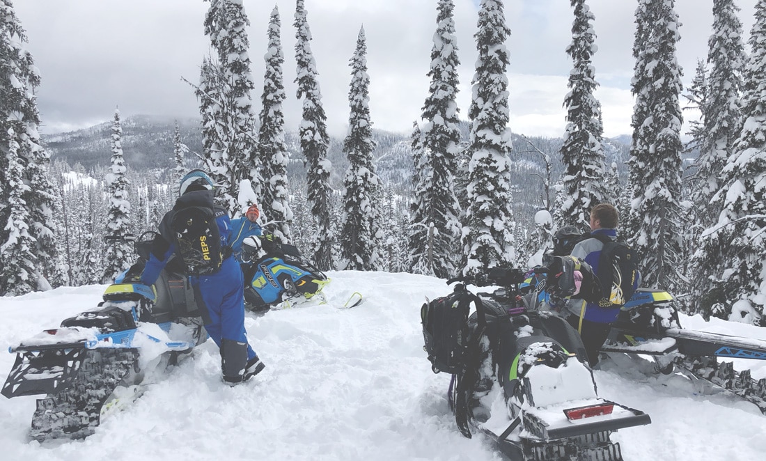
Snowmobiling in the western backcountry or groomed trails of the Midwest is a favorite winter pastime for many powersports enthusiasts living in northern latitudes. As much fun as it is to explore the backwoods on a snowmobile, the possibility of becoming lost or stranded can quickly turn a day of fun into an uncomfortable, dangerous situation. Time is of the essence when enjoying the outdoors in colder temperatures, which is why our team at onX always recommends carrying a Snowmobile GPS system for navigation and emergency situations.
What is the best GPS for snowmobiling? Although it’s difficult to name a single best GPS for snowmobiling, in this article, we’ll present a handful of suggested snowmobile GPS systems that will help one navigate with confidence while adding a layer of safety for emergency situations. Learn more about some of our favorite snowmobile GPS units, including the most robust off-road trail map GPS app on the market—onX Offroad.
The onX Offroad App Alternative
Snowmobilers who prefer to carry a smartphone or rugged phone instead of a handheld GPS unit can quickly pair them with the onX Offroad App for one of the most accurate and accessible snowmobile trail map databases on the market. With some of the best snowmobile GPS trail maps on the market and nearly 1,000 trail guides contributing route updates, pairing your smartphone with the onX Offroad mobile GPS app is a simple and cost-effective way to add navigation accuracy and a host of valuable benefits and safety features:
Economical Annual Memberships
- Premium Membership $34.99 per year – includes Feature Trails, Unlimited Saved Offline Maps, Government Lands, Photo Waypoints, 3D Maps (iOS only), and more.
- Elite Membership $99.99 per year – includes all Premium features plus exclusive features like Property Boundaries, Landowner Names, and Lot Information.
Interactive Maps
- Tap anywhere on a map using the onX Offroad App for detailed info, such as trail open and closure dates, public land management, private land, and recreation point details for campsites, trailheads, open OHV areas, and more.
Find Open Trails Near You
- Open the app and scan the map to quickly find open, closed, and “Featured” trails. You can then tap for photos, difficulty ratings, and detailed trail descriptions.
Find Campsites and Non-Ethanol Fuel Stations
- The onX Offroad app includes over 500,000 recreation points, such as campgrounds and dispersed campsites, parking areas, trailheads, boat launches, and more.
Track Trips and Add Custom Waypoints
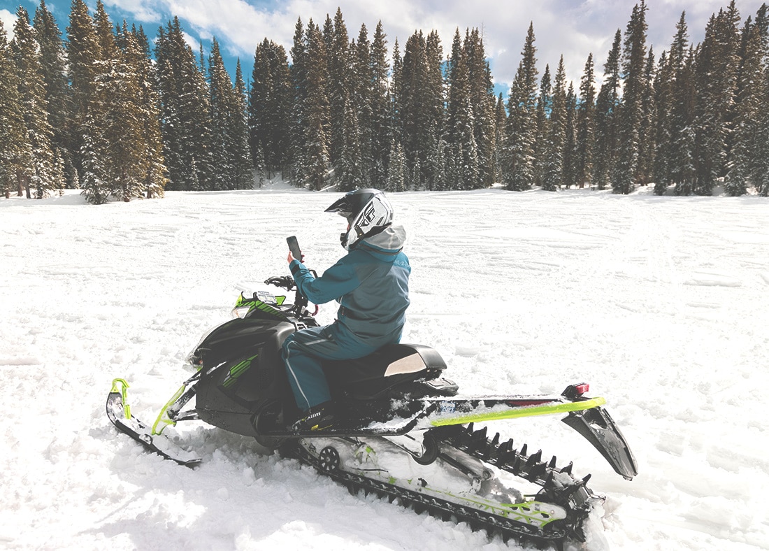
- Use the “Track” feature to document where you’ve been and how to get back. Add Waypoints at campsites, obstacles, where you parked the trailer, and more. Tracks and waypoints can be edited, saved, and shared with friends.
Download Maps for Offline Use
- Even without cell service, use your smartphone or rugged phone’s built-in GPS to access snowmobile trail maps. Download unlimited maps for detailed trail and land info and your saved markups. You can still add waypoints and track trips without service.
3D and Satellite Maps*
- View your trail maps like never before in 3D and with the best quality satellite imagery. Or, switch to topo maps for elevation or a hybrid of satellite and topo for the ultimate navigation tool. *Currently iOS only.
Sync Across Multiple Devices
- Log in to your onX Offroad account on your computer to plan, and then open the app on your phone or tablet on the trail. All of your snowmobile trail info is saved and syncs across devices so you can move from trail to home without losing anything.
Standout GPS Systems for Snowmobiling
Garmin Overlander®
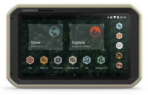
The Garmin Overlander is an all-terrain, all-in-one GPS navigator designed to fit the needs of the offroad community. The rugged Overlander features a 7-inch color touchscreen display and is preloaded with adventure-specific content, world-renowned directions from Garmin, and built-in topography maps.
Standout Feature:
- Garmin Explore App – download additional maps, such as satellite imagery and USGS quad sheets, and sync your data between devices. Import and export GPX files to Garmin Explore—even if offline.
Physical size: 7.8″ x 4.8″ x 0.9″
Screen size: 7.0″ diagonal
IP (Ingress Protection) Rating: IP5X
Battery Life: up to 3 hours (lithium-ion rechargeable)
MSRP: $699.99
Trail Tech Voyager Pro
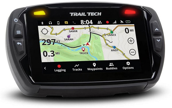
The Voyager Pro is a premium GPS with a four-inch color anti-glare touchscreen display that’s IP67 rated for dust and water intrusion. Voyager Pro’s mapping abilities and buddy tracking make it a premium choice for snowmobiling that’s built to withstand the harshest elements that accompany extreme winter riding conditions.
Standout Feature:
- Buddy Tracking – displays the current location of up to 20 members of your ride group on the map screen in real-time, which allows you to increase your following distances, and use the buddy beacon to summon your riding buddies—even without cell reception.
Physical size: 5.6″ x 3.5″ x 1.9″
Screen size: 4.0″ diagonal
IP (Ingress Protection) Rating: IP67
Battery Life: 12V power required
MSRP: $649.95
Garmin Montana® 680t
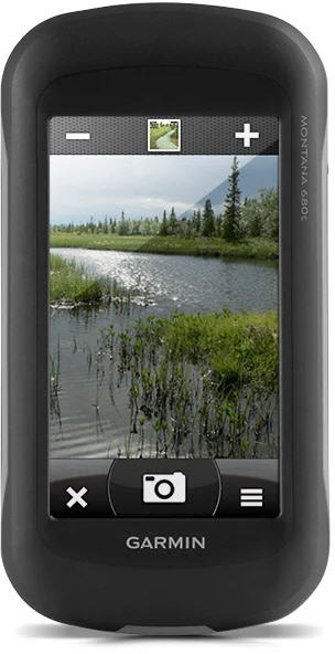
The Garmin Montana 680t features a dual-orientation, color touchscreen that’s glove friendly, comes preloaded with TOPO U.S. 100K maps, and includes a 1-year BirdsEye Satellite Imagery subscription. This handheld unit includes a 3-axis, tilt-compensated compass, barometric altimeter, and access to GPS and GLONASS satellites for improved positioning and faster fixes.
Standout Feature:
- 8 Megapixel Autofocus Camera – provides high-quality images, excellent resolution, and automatically geotags photos with coordinates.
Physical size: 2.9″ x 5.7″ x 1.4″
Screen size: 4.0″ diagonal (2.0″ x 3.5″)
IP (Ingress Protection) Rating: IPX7
Battery Life: Up to 16 hours (lithium-ion), 22 hours (AA batteries)
MSRP: $599.95
Magellan TRX7 CS
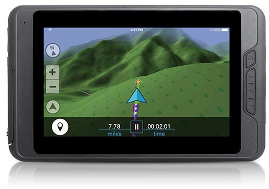
The TRX7 CS comes preloaded with over 160,000 designated OHV routes from forest and public lands and includes Magellan’s award-winning street navigation to get you from your starting point to the trail. Download the Magellan TRX companion app to access your account, search, save, and see your position—even when away from your TRX7 CS device.
Standout Feature:
- 7.0-inch Touch Screen Display– is an extra-large, vibrant, sunlight-readable display with day and night views for easy visibility.
Physical size: 5.2″ x 8.7″ x 0.67″
Screen size: 7.0″ diagonal
IP (Ingress Protection) Rating: IP67
Battery Life: up to 8 hours (lithium-ion rechargeable)
MSRP: $549.95
Garmin eTrex® 32x
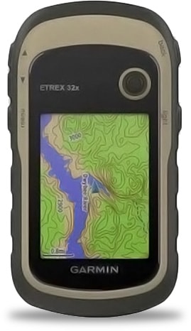
The Garmin eTrex series uses both GPS and GLONASS satellite systems, so the receiver can track in more challenging environments than GPS alone. The 32x includes a 3-axis compass and barometric altimeter, making it easy to keep your bearings.
Standout Feature:
- TopoActive Maps –the 32x comes preloaded with road-routable TopoActive maps for outdoor activities and trails so you can take the journey off the grid.
Physical size: 2.1” x 4.0” x 1.3”
Screen size: 2.2″ diagonal
IP (Ingress Protection) Rating: IPX7
Battery Life: up to 25 hours
MSRP: $299.95
Conclusion
Using this article as a place to start, begin your search by determining the necessary feature(s) you want in a GPS unit for snowmobiling. Combine that info with a price-point that’s comfortably within your budget, and you’ll be well on your way to finding the best GPS for snowmobile trail maps.
But if you are someone who prefers to carry a single device—such as an iPhone, Android, or rugged phone—you can’t go wrong choosing the onX Offroad App as an add-on GPS device at a fraction of the cost of the majority of standalone GPS units.