Best Off-Road Trails in Moab
Moab, UT is one of the most off-road friendly areas in the U.S. with open-use trails for all experience levels. Surrounded by almost 2 million acres of public land and thousands of off-road trails, Moab is one of Utah’s adventure capitals. Due to the sheer amount of options, it can be overwhelming to know which trails to hit. Check out this list we compiled of our top recommended trails (in order by difficulty) that you should explore when you’re in Moab.

HURRAH PASS
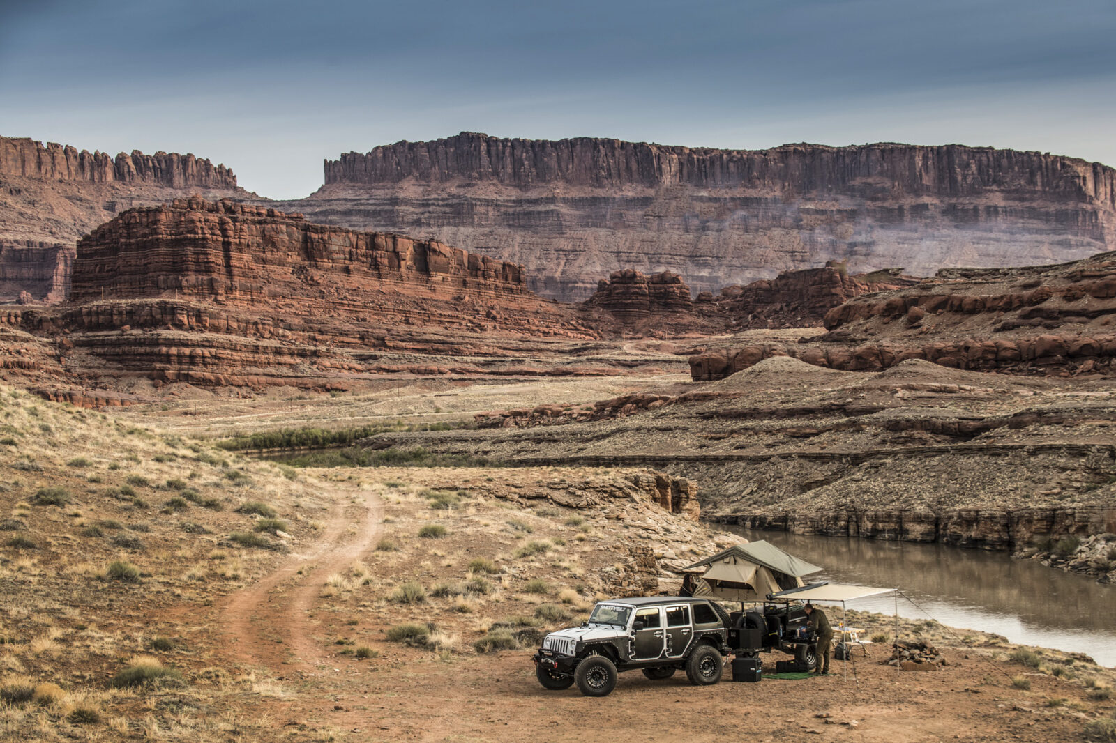
Take a weekend to explore this route that features beautiful lakes, Potash Plants, and Native American petroglyphs at Birthing Rock. Along Kane Creek road you’ll find well-maintained BLM campgrounds on a first-come-first-serve basis. They are popular, so plan ahead. OHVs are allowed in this area, but please stay on the marked route. See the trail map and route for Hurrah Pass here.
Difficulty
Easy. High-clearance 2-wheel drive adequate when dry. Can be rougher on the west side of the pass. Kane Creek is usually dry, but can be impassable for brief periods during flash flooding.
Technical Rating = 2
CHICKEN CORNERS
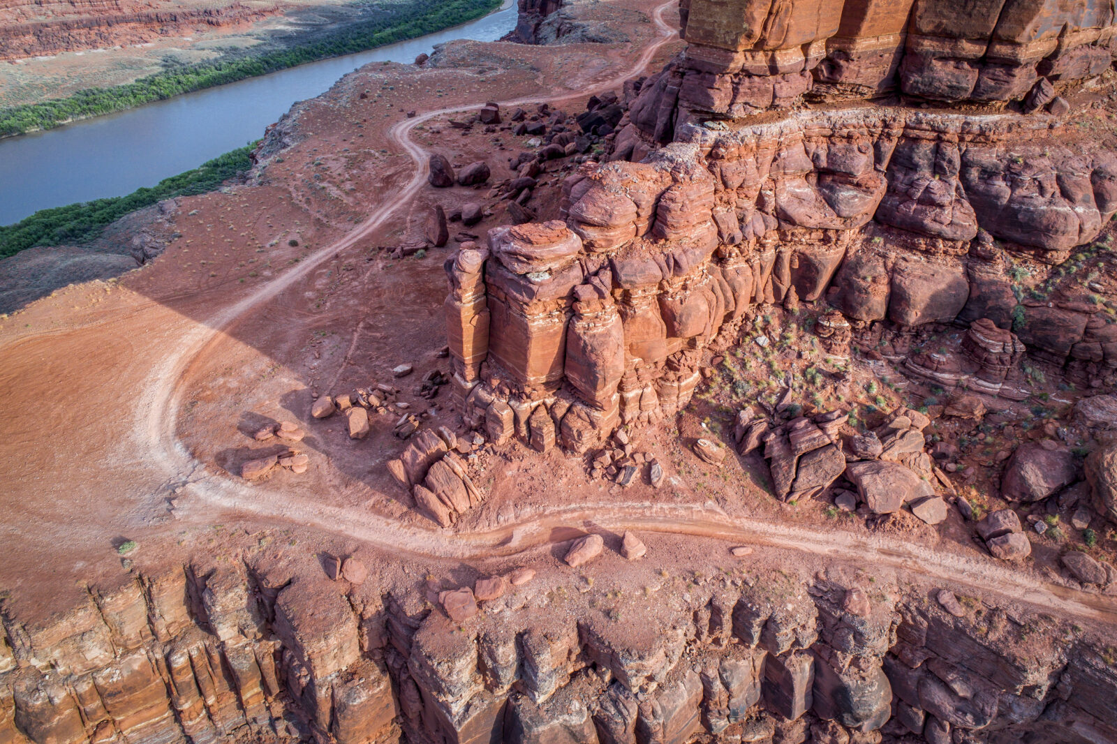
The scenery on this route is phenomenal–it primarily winds along the Colorado River and you can stop to explore some catacomb caves along the way. Chicken Corners travels along a high, steep cliff overlooking the Colorado River. You will likely run into dirt bikers and mountain bikers, so please be respectful. This ride has the option to connect to Lockhart Basin. See the trail map and route for Chicken Corners here.
Difficulty
Moderate. We are tempted to call this trail easy, but there are just enough small ledges and rough spots to give it a moderate rating overall. Suitable for stock, high-clearance, 4×4 SUVs. You might not use your 4WD.
Technical Rating = 2
Explore more Moab off road trails
Plus Open Trails, Difficulty Ratings, Public Land Boundaries, Campsites, Tracking, Share Waypoints, and More
BUTTES AND TOWERS
Enjoy a variety of terrain on this scenic intermediate trail. Visit Courthouse Pasture and take in views of the red Entrada rocks and La Sal’s snowy peaks. Once off the highway, off-roaders can expect bumpy roads, rocky sections, slickrock, sidehills, sandy washes and some small shelves. Bring your camera because the views are worth the trip! See the trail map and route for Buttes and Towers here.
Technical Rating = 3
HELL ROARING
This is an easy to moderate off-roading trail, great for sight-seers looking to see a maze of canyons with creeks draining into the Green River. The views are spectacular. While relatively easy, stock vehicles may have trouble driving over large rocks. Trail conditions include sand, rocks, shale, sandstone and some ledges. See the trail map and route for Hell Roaring here.
Technical Rating = 3
FINS N’ THINGS
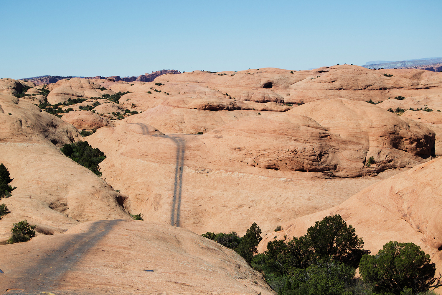
Fins & Things is a great example of the famous “slickrock” sandstone of Moab. It is located in the Sand Flats Recreation Area, which requires a fee. Prepare for steep climbs and descents, deep sand, and loose rocks. Follow the one-way travel signs. See the trail map and route for Fins N’ Things here.
Difficulty
Some steep slickrock climbs and descents. Few big ledges to get hung up on. Easier in short wheel-based vehicle. Compact, aggressive, stock SUVs can do it with skilled driver.
Technical Rating = 4

ELEPHANT HILL
This is a favorite trail among off-roaders. It requires a National Park fee as well as a day-use permit for the stunning Needles District. There are many fantastic hiking trails in this area, and even non-hikers will love the Joint Trail. Dogs are not allowed, and vehicles and drivers must be licensed. See the trail map and route for Elephant Hill here.
Difficulty
Difficult. Very steep and narrow in places. Extremely tight switchbacks require backing up. Rock ledges require high ground clearance and 4-wheel drive. Skid plates highly recommended. Not recommended for stock sport utility vehicles
Technical Rating = 4
WHITE RIM
You’ll need to obtain a free day-use permit to access this amazing trail. There is a 50 per day limit. If you want to camp, you’ll need to pay for an additional permit. This is a popular destination, and permits for White Crack and Murphy Hogback Campgrounds sell out quickly. No services are available so bring water and fuel. Licensed dirt bikes are allowed, but ATVs and UTVs are not. No pets or fires. See the trail map and route for White Rim here.
Difficulty
Moderate. Most of the route is easy; however, a few spots are steep and rocky. The most challenging spot is a narrow shelf road that climbs the Murphy Hogback. We once encountered a rock slide here that completely blocked the road and we had to turn back. Always call ahead for conditions or check at visitor center. Suitable for stock, high-clearance 4×4 SUVs.
Technical Rating = 5
PORCUPINE RIM
This high-elevation trail offers varied terrain and outstanding views. The trail begins with a descent to a narrow ledge overlooking Grandstaff Canyon, which then drops to a drainage. The climb up to the rim is rocky and worth it for the incredible views. There are small sections of slickrock but, because of the elevation, most of this trail is rough mountain bedrock. You may encounter snow or mud in spring and fall. See the trail map and route for Porcupine Rim here.
Technical Rating = 5

HELLS REVENGE
Difficult, long, but very scenic and exciting, this is one of the most popular trails near Moab. Hell’s Revenge intertwines with the Slickrock Bike Trail, so be very careful at crosspoints. Bikers have the right of way. Sand Flat Recreation Area has a small fee. See the trail map and route for Hells Revenge here.
Difficulty
Difficult. The main trail features several large ledges that can’t be bypassed, but most of the difficulty comes from numerous narrow steep sections along slickrock fins. Optional extreme obstacles–Hell’s Gate, Mickey’s Hot Tub, the Escalator and Tip-Over Challenge–are dangerous and should only be attempted by expert drivers using an experienced spotter. For these obstacles, front and rear lockers are required. Major vehicle damage is not unusual. It is extremely dangerous to ride an ATV on this trail without a helmet. Stay on marked route at all times.
Technical Rating = 6
TOP OF THE WORLD
Top of the World is a very popular trail located outside Moab. It’s relatively easy as far as Moab is concerned, and the scenery factor is very high. Its also easily done in a half day making it a good shorter option. You end on the brink of a huge cliff. See the trail map and route for Top of the World here.
Technical Rating = 6
POISON SPIDER
This route has it all: fun obstacles and great scenery. It’s common to drive the first portion heading to Golden Spike, but be sure to take the loop, as it offers slickrocks, a sandy hill to play on and an overlook you won’t want to miss. Play with caution and be aware of mountain bikers in the area. If you want to get sidetracked for a bit, check out Barney’s Overlook. See the trail map and route for Poison Spider here.
Difficulty
Difficult. Large awkward ledges with tippy spots. Many (not all) have bypasses. Modified vehicles with bigger tires, lockers, and high ground clearance are best suited, but some drivers of newer aggressive stock SUVs are getting through with careful tire placement and the help of a good spotter.
Technical Rating = 6
MOAB RIM
You’ll see the town of Moab from the overlooks on this route. Bring your camera and capture breathtaking views and fun obstacles. Stretch your legs by taking a fun hike to Hidden Valley. A study area borders the south so please stay on the route. See the trail map and route for Moab Rim here.
Difficulty
Difficult and dangerous. The first mile scares the wits out of most people. You follow a narrow, tippy shelf road along a high cliff. Not for novice drivers. First-timers should go with someone who knows the right line over the obstacles, especially the Z-Turn. Not for stock SUVs. Very challenging for UTVs. Insane for ATVs.
Technical Rating = 7
METAL MASHER
If you want fun and a lot of variety, you’ll love this trail and the obstacles it offers. Metal Masher has become increasingly difficult over the years, and it is recommended you bring a team and have at least one rig take a bypass to the top. That way you’ll have a winch point; otherwise you may be out of luck. It is a difficult trail for ATVs and is closed to OHVs. See the trail map and route for Metal Masher here.
Difficulty
Difficult. Lifts, bigger tires and lockers recommended. Not for stock vehicles. Optional Rock Chucker is extreme and for big rigs only. Lots of barren slickrock makes route-finding challenging. Possible large new roads for drilling activity may be confusing. Fortunately, the trail is well-marked with MM signs, white dashes and black tire marks. Backtrack if necessary.
Technical Rating = 7

CLIFF HANGER
This trail winds up and around high jagged cliffs and provides plenty of difficult obstacles along the way. The backdrop is phenomenal, and mountain bikers often ride in this area as well. Be courteous and careful. Helmets recommended.
Difficulty
Difficult. Strictly hard-core. No stock SUVs. Huge ledge along cliff edge at 2.6 miles is not for the faint of heart. At Wpt. 03, if you’re not careful, it is easy to slide sideways and roll over. See the trail map and route for Cliff Hanger here.
Technical Rating = 8
PRITCHETT CANYON
One of the most famous trails in Moab, Pritchett Canyon tests the most experienced riders and toughest rigs. Be prepared to winch and damage your vehicle. Expect off-camber turns, huge ledges and long, difficult climbs. The trail only gets harder as you go on. Flash floods are possible. See the trail map and route for Pritchett Canyon here.
Difficulty
Extremely difficult. For big, customized, hard-core rigs only. Huge, off-camber ledges lie in wait for drivers too proud to winch (winch points on Chewy Hill, Rocker Knocker, Axle Hill and Yellow Hill). We left our modified 2-door Rubicon at home and wisely rode with Moab Friends for Wheelin’. Study YouTube(r) videos before you go.
Technical Rating = 9
PLAN YOUR ULTIMATE OFF-ROAD ADVENTURE WITH ONX OFFROAD
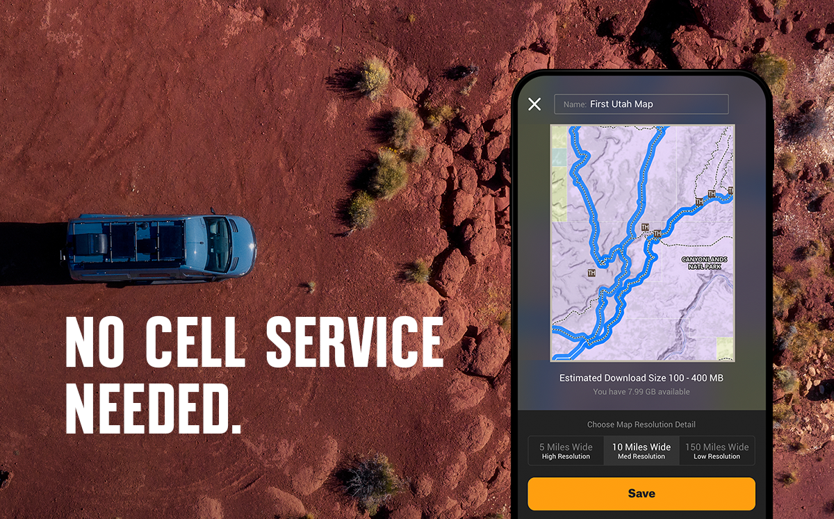
Get the ultimate off-roading GPS and plan your next adventure today.