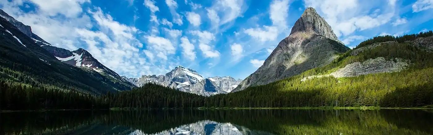
Dirt Bike Trails
Near Leadville, Colorado
Explore All Dirt Bike Trails Near Leadville, Colorado
Dirt Bike Trails Near Leadville, Colorado
Discover the best dirt bike trails near you. Browse trail maps, check difficulty ratings, and find your next adventure — whether you're looking for a quick ride or an all-day expedition.
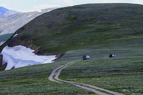
Mount Zion
Mount Zion is an exceptional route for intermediate four-wheel-drive enthusiasts looking to experience high-altitude Colorado vistas without extreme difficulty. Spanning roughly 6.4 miles north of Leadville, this trail climbs from 9,966 feet to a peak elevation of 12,311 feet near Buckeye Peak, deli...
Learn more about Mount Zion
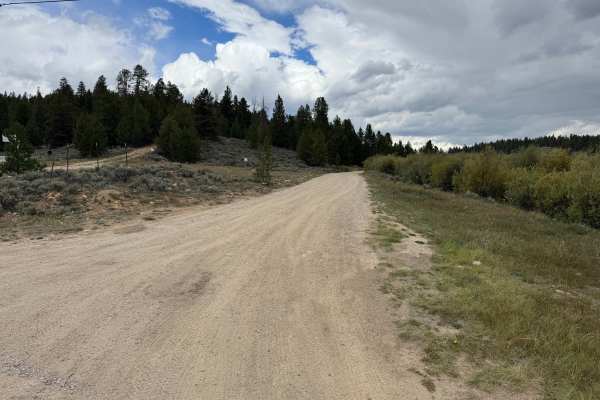
Tennessee Creek Road
This route is approximately 1 vehicle-wide through most sections and travels across open sagebrush terrain before entering thicker pine forest. The road has a mostly smooth dirt and gravel surface with occasional potholes, shallow whoops, and scattered loose rocks, but there are no major obstacles a...
Learn more about Tennessee Creek Road
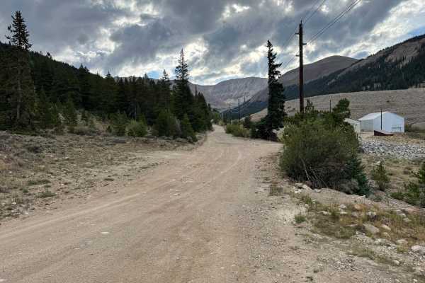
Lower Iowa Gulch
As part of the historic Route of the Silver Kings, Lower Iowa Gulch travels through a landscape shaped heavily by the area’s mining past. The route follows the gulch on a mostly wide, packed dirt and gravel surface, with scattered loose rock and occasional rougher, rock-covered sections. Large mine ...
Learn more about Lower Iowa Gulch
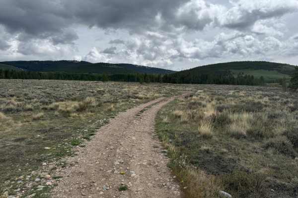
FS 189
This route travels across a mix of open sagebrush meadows, grassy clearings, aspen groves, and sections of dense pine forest. The trail surface varies between packed dirt and stretches covered with loose and embedded rocks, with shallow ruts and uneven areas along the way. Most of the route is appro...
Learn more about FS 189
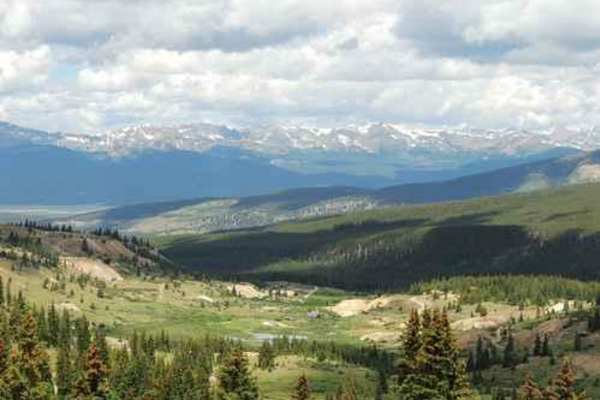
Leadville Southeast
This is a fantastic day of Jeeping southeast of Leadville! You will visit part of the historic mining area above Leadville, view numerous old mine buildings, experience two areas of high alpine Jeeping and pass by Empire Reservoir. Start on the Mosquito Pass Road above Leadville. This Jeep trail wil...
Learn more about Leadville Southeast
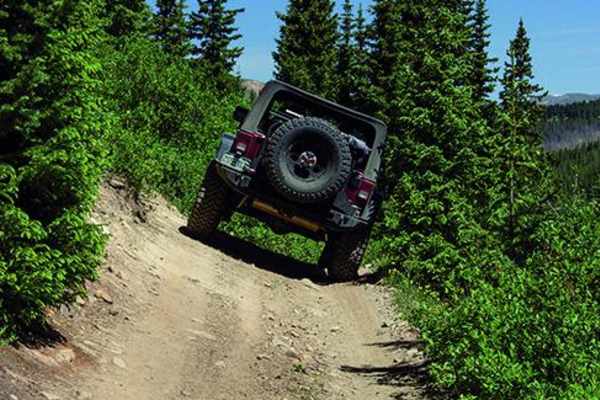
Birdseye Gulch
Birdseye Gulch is a side trip of Mosquito Pass with a reputation for a section of unruly mud bogs. The bogs used to be impassable, but recent repairs by the local 4WD community have made them driveable, but still very challenging. Wave to the tourist train that comes through occasionally. There is a...
Learn more about Birdseye Gulch
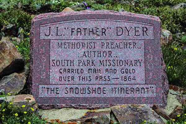
Mosquito Pass
Mosquito Pass is an iconic, moderately challenging high-altitude trail perfect for intermediate offroaders looking to traverse the highest continuous pass in the United States. Climbing to an elevation of 13,185 feet, this 10.7-mile point-to-point route connects Leadville and Alma, offering stunning...
Learn more about Mosquito Pass
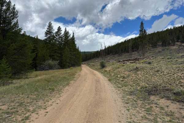
Kevin Gulch Road
This route travels through the forested mountains near Turquoise Lake on a mostly dirt and gravel surface. The road is generally wide and well-maintained, with sections narrowing as it winds through dense pine and evergreen forest. The route travels through rolling mountain terrain with gradual clim...
Learn more about Kevin Gulch Road

Sugarloaf Mountain Road
Sugarloaf Mountain Road should be called Power Line Road, as you can see or hear buzzing power lines most of the way. Accessed either from Hagerman Pass in the west or from County Road 5A in the east, this trail has just enough interesting features to keep things fun. When starting in the east, publ...
Learn more about Sugarloaf Mountain Road
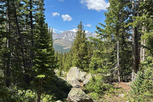
Bear Lake Road
This route climbs along the north side of Turquoise Lake to the trailhead for Bear Lake. The road winds through dense pine forests, providing a quiet and scenic drive with occasional views of the surrounding mountain peaks through the trees. Numerous dispersed campsites are scattered throughout the ...
Learn more about Bear Lake Road
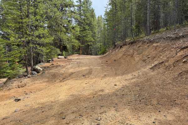
FS 103
This route is approximately 1.5 vehicles wide and travels through a dense forest of pine and other conifers. The road follows the hillside with several steeper climbs and descents, where 4-Low may be helpful in heavier vehicles for better control. The surface is primarily hard-packed dirt, gravel, a...
Learn more about FS 103
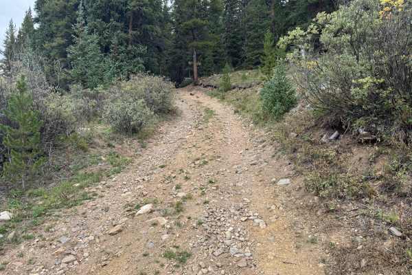
Cooper Loop
This is a through route that connects with East Tennessee and travels through a mix of dense forest and more open mountain terrain before ending near Cooper Ski Resort. The trail surface is primarily packed dirt with sections of loose rock, embedded rock, and scattered gravel. There are no major tec...
Learn more about Cooper Loop
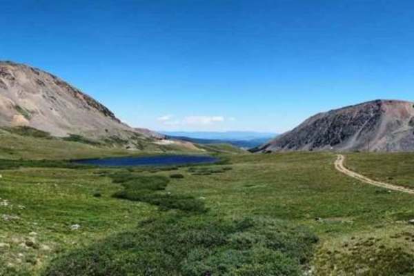
South Mosquito Road FS 696
South Mosquito Road is the other route below Mosquito Pass to the London Mine, versus the New London Mine on the better-known Mosquito Pass. Numerous other named mines are in the basin. The road is open only one day per year (the last Sunday in July) for spectators to view the Fairplay Burro Days ...
Learn more about South Mosquito Road FS 696
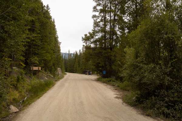
Hagerman Pass
Hagerman Pass Road (Forest Road 105) navigates a rough and rocky route across the Continental Divide at nearly 12,000 feet elevation. The trail is consistently bumpy, with frequent washouts, potholes, and uneven sections that demand a steady, attentive drive. A short ridgeline near the summit featur...
Learn more about Hagerman Pass
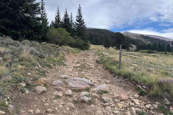
Gold Basin Road
This out-and-back route travels through a high-elevation landscape of open grassy meadows, low brush, scattered evergreens, and thicker stands of pine and spruce. The trail varies between relatively smooth packed dirt and rougher stretches covered with loose and embedded rock, with several eroded se...
Learn more about Gold Basin Road
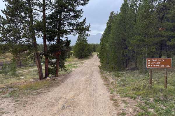
West Tennessee Road
The route begins as a wide, well-maintained dirt and gravel road with a mostly smooth surface and gradual grades. It travels through dense lodgepole pine forest with occasional openings that provide views toward the surrounding mountains. Several dispersed camping areas and spur roads can be found t...
Learn more about West Tennessee Road
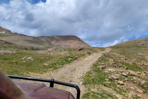
Baltic Mine Trail
This is an easy offshoot of the popular Mosquito Pass Trail. It takes you up to an old mine up on the hill. Make sure to mind the old mine equipment. There's also a small glacier pond near the top. No fish can be found in this pond, but it's fun to check out. Up on the hill, you can also spot an old...
Learn more about Baltic Mine Trail
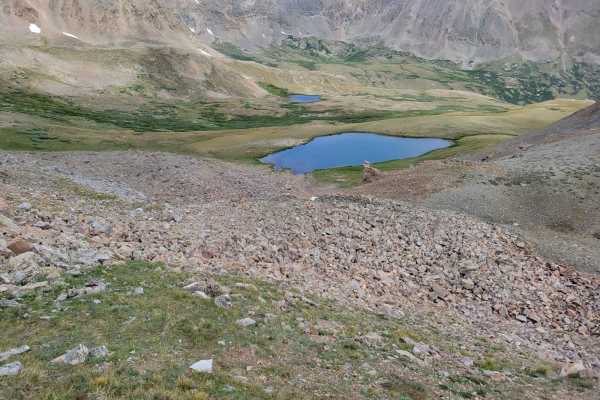
Oliver Twist Lake
Trail is an offshoot of the popular Mosquito Pass trail. It takes you past Oliver Twist Lake. It's a natural glacier lake that you can actually catch some trout at if you're lucky. The trail can definitely hold snow late into the year, most likely will be covered in snow until June. The trail itself...
Learn more about Oliver Twist Lake

Halfmoon Gulch
This trail sits between Mount Massive and Mount Elbert and takes you to a really well preserved mill structure. The terrain is impressive and so are the views. The first section is popular with hikers, so please use caution.
Learn more about Halfmoon Gulch
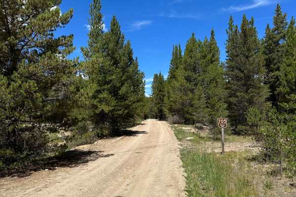
No Name Road
This Forest Service (705) road highly recommends a high-clearance 4WD vehicle. From both entrances, the road starts relatively easy and smooth. However, as you get closer to the middle of the trail, conditions change a little bit, with steep descents and climbs, exposed roots, and large rocks along ...
Learn more about No Name Road
ATV trails near Leadville, Colorado
Explore ATV-friendly trails near you. These trails are accessible for vehicles up to 50 inches wide, perfect for ATVs and smaller off-road machines.
Mount Zion
Mount Zion is an exceptional route for intermediate four-wheel-drive enthusiasts looking to experience high-altitude Colorado vistas without extreme difficulty. Spanning roughly 6.4 miles north of Leadville, this trail climbs from 9,966 feet to a peak elevation of 12,311 feet near Buckeye Peak, deli...
Learn more about Mount Zion
Tennessee Creek Road
This route is approximately 1 vehicle-wide through most sections and travels across open sagebrush terrain before entering thicker pine forest. The road has a mostly smooth dirt and gravel surface with occasional potholes, shallow whoops, and scattered loose rocks, but there are no major obstacles a...
Learn more about Tennessee Creek Road
Lower Iowa Gulch
As part of the historic Route of the Silver Kings, Lower Iowa Gulch travels through a landscape shaped heavily by the area’s mining past. The route follows the gulch on a mostly wide, packed dirt and gravel surface, with scattered loose rock and occasional rougher, rock-covered sections. Large mine ...
Learn more about Lower Iowa Gulch
FS 189
This route travels across a mix of open sagebrush meadows, grassy clearings, aspen groves, and sections of dense pine forest. The trail surface varies between packed dirt and stretches covered with loose and embedded rocks, with shallow ruts and uneven areas along the way. Most of the route is appro...
Learn more about FS 189
UTV/side-by-side trails near Leadville, Colorado
Find UTV and side-by-side trails near you. These trails accommodate vehicles up to 60 inches wide, ideal for UTVs, side-by-sides, and wider off-road rigs.
Mount Zion
Mount Zion is an exceptional route for intermediate four-wheel-drive enthusiasts looking to experience high-altitude Colorado vistas without extreme difficulty. Spanning roughly 6.4 miles north of Leadville, this trail climbs from 9,966 feet to a peak elevation of 12,311 feet near Buckeye Peak, deli...
Learn more about Mount Zion
Tennessee Creek Road
This route is approximately 1 vehicle-wide through most sections and travels across open sagebrush terrain before entering thicker pine forest. The road has a mostly smooth dirt and gravel surface with occasional potholes, shallow whoops, and scattered loose rocks, but there are no major obstacles a...
Learn more about Tennessee Creek Road
Lower Iowa Gulch
As part of the historic Route of the Silver Kings, Lower Iowa Gulch travels through a landscape shaped heavily by the area’s mining past. The route follows the gulch on a mostly wide, packed dirt and gravel surface, with scattered loose rock and occasional rougher, rock-covered sections. Large mine ...
Learn more about Lower Iowa Gulch
FS 189
This route travels across a mix of open sagebrush meadows, grassy clearings, aspen groves, and sections of dense pine forest. The trail surface varies between packed dirt and stretches covered with loose and embedded rocks, with shallow ruts and uneven areas along the way. Most of the route is appro...
Learn more about FS 189
The onX Offroad Difference
onX Offroad combines trail photos, descriptions, difficulty ratings, width restrictions, seasonality, and more in a user-friendly interface. Available on all devices, with offline access and full compatibility with CarPlay and Android Auto. Discover what you're missing today!
Open Trail Map