Middle St. Vrain, Coney Flats
Total Miles
11.0
Technical Rating
Best Time
Summer, Fall
Trail Type
High-Clearance 4x4 Trail
Accessible By
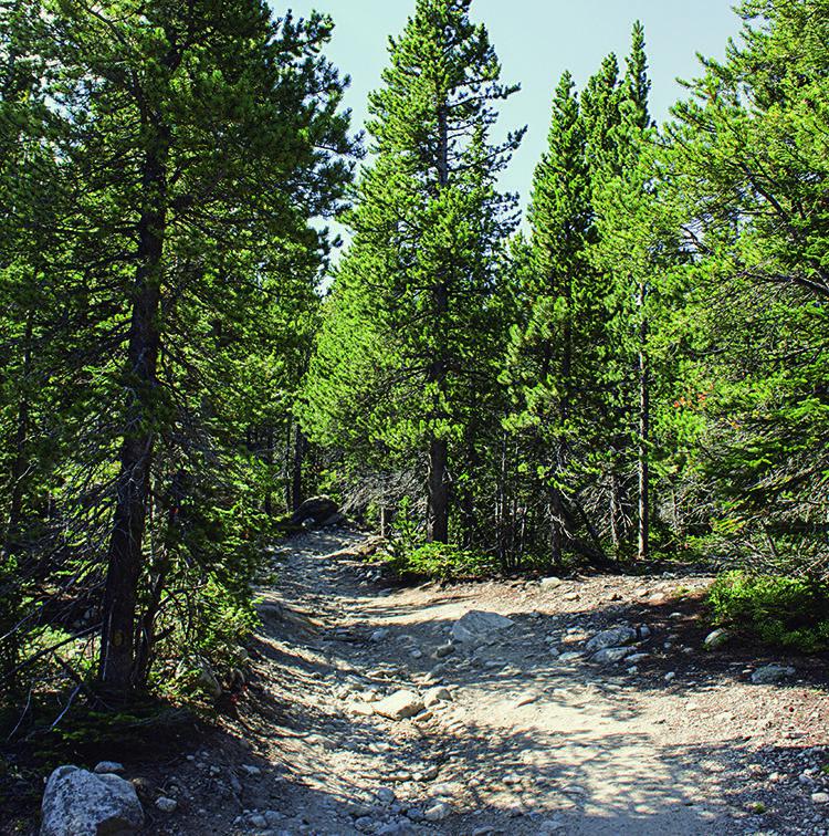
Trail Overview
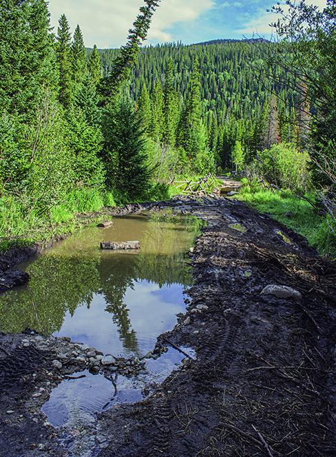
The difficult portion of this trail is a rugged, deep water crossing. It can be dangerous and too deep to cross in the spring. There is good camping at Camp Dick Campground as well as some trailside sites along the way. Trail is open from June 15 to October 15.
Photos of Middle St. Vrain, Coney Flats
Difficulty
Difficult. Most of the route is easy to moderate, but the stretch between Waypoints 02 and 03 requires very high ground clearance. Deep mud possible when wet. Several water crossings, including possible very deep crossing at Coney Flats.
Status Reports
Middle St. Vrain, Coney Flats can be accessed by the following ride types:
- High-Clearance 4x4
- SxS (60")
- ATV (50")
- Dirt Bike
Middle St. Vrain, Coney Flats Map
Popular Trails

CR 16/FR 510 - North Clear Creek Falls

American Basin
Mesa County Road 25
The onX Offroad Difference
onX Offroad combines trail photos, descriptions, difficulty ratings, width restrictions, seasonality, and more in a user-friendly interface. Available on all devices, with offline access and full compatibility with CarPlay and Android Auto. Discover what you’re missing today!