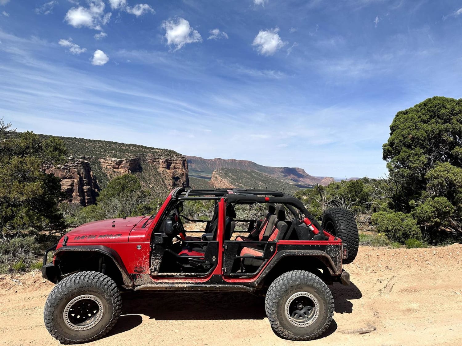
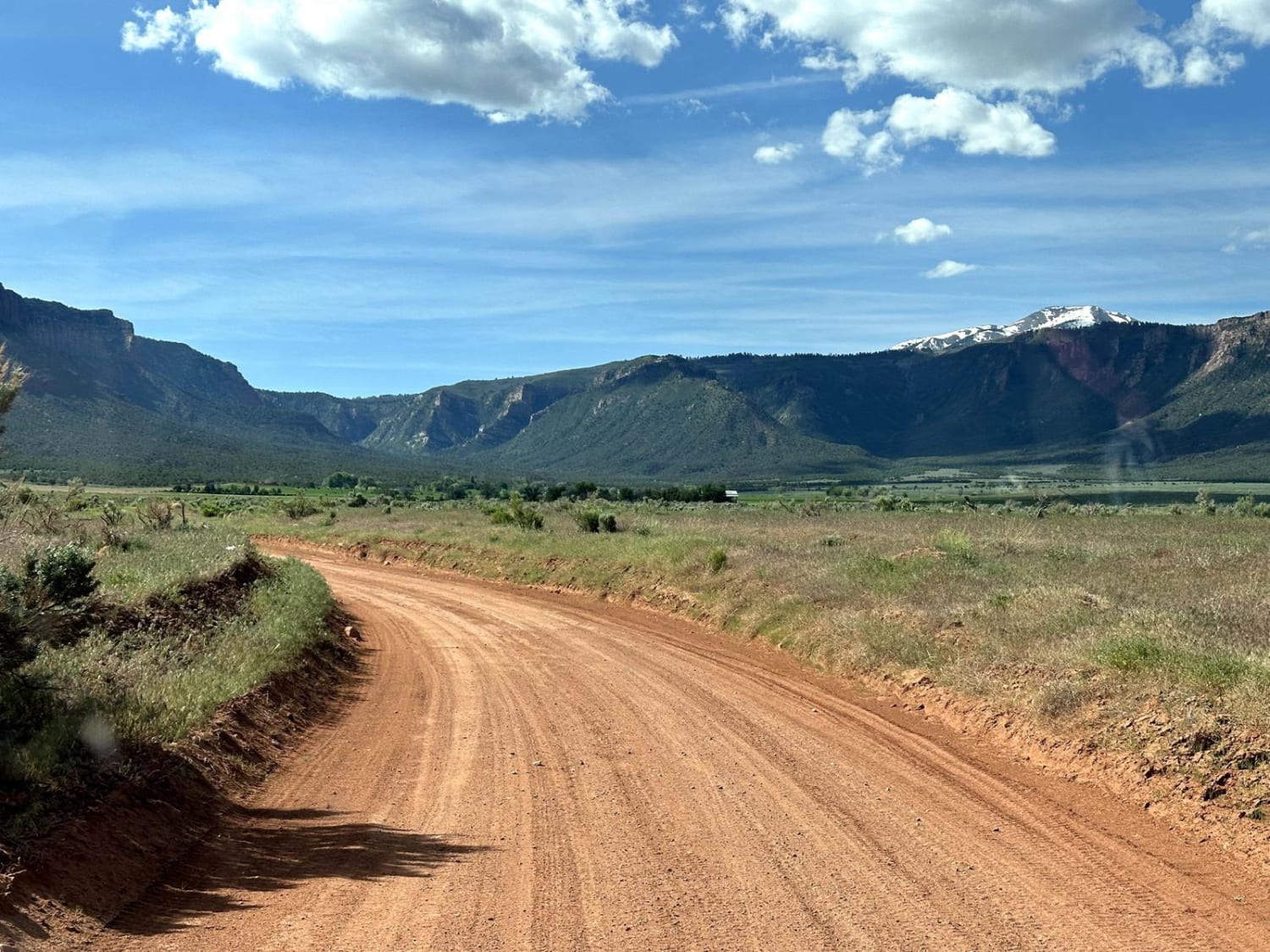
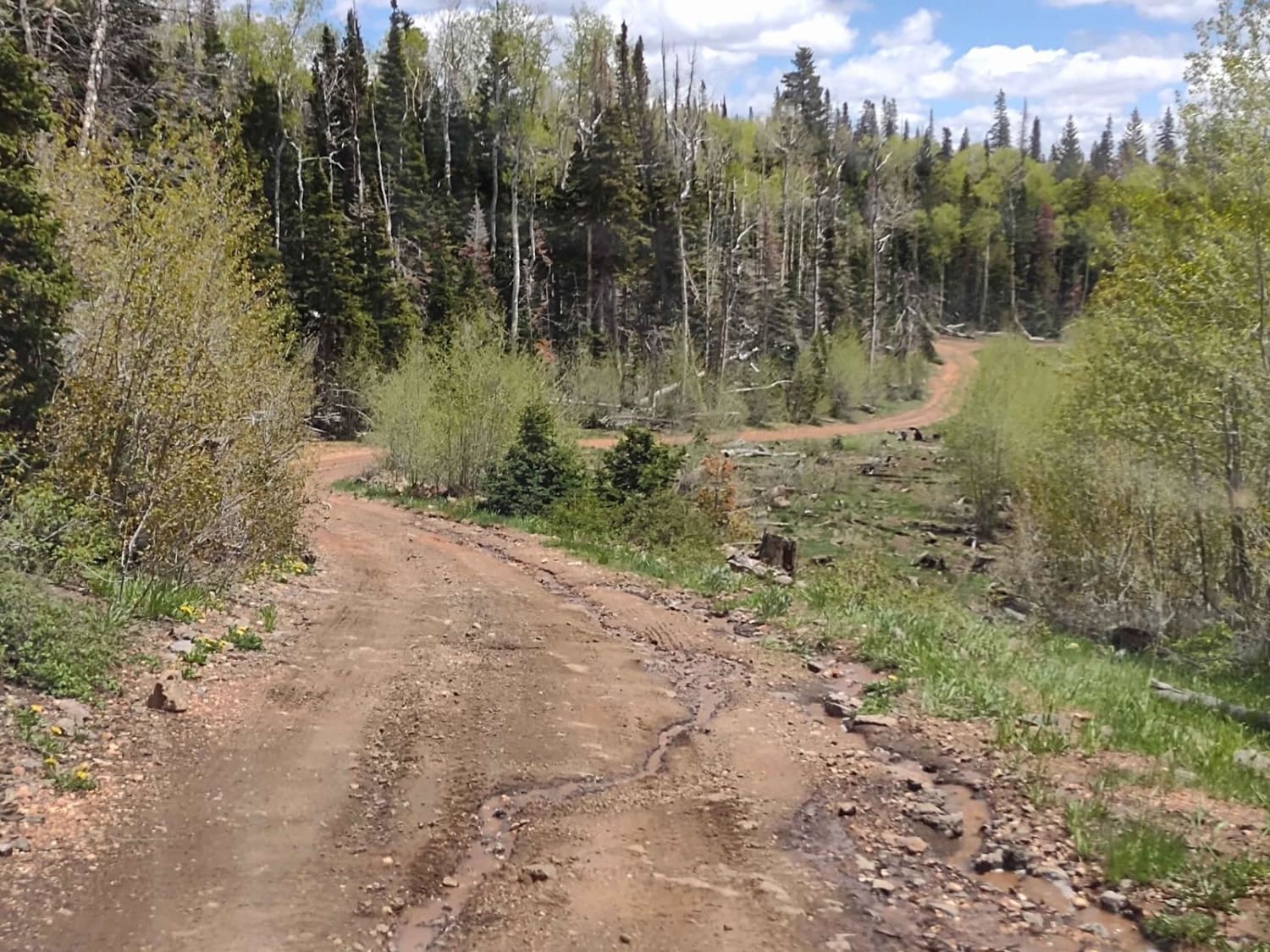
Kokopelli Trail (Onion Creek to Andy Mesa)
Total Miles
18.9
Elevation
2,620.32 ft
Duration
3 Hours
Technical Rating
Best Time
Spring, Summer, Fall
Trail Overview
This 18.6-mile point-to-point trail is part of the larger Kokopelli Trail System, this portion takes you from Onion Creek Trail up past Cowhead Hill, Polar Mesa, and North Beaver Mesa. Most of this trail is single-vehicle with turnouts. Enjoy the beauty of the Manti La-Sal National Forest and cooler temperatures while on this trail. Passable by most stock 4WD vehicles. Help preserve this trail, do not attempt to travel for up to 2 days after heavy rainfall.
Photos of Kokopelli Trail (Onion Creek to Andy Mesa)
Difficulty
Several steep 10% grades, loose rocks, and obstacles up to 12" in height
Status Reports
Popular Trails

North Fork 10 Mile Wash ATV Trail
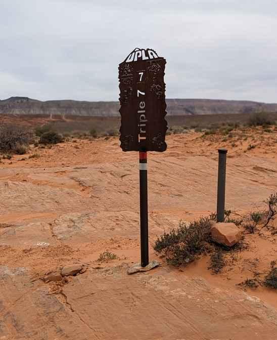
Triple 7
Desert Mountain Loop
Brindley Dairy (FS# 40160)
The onX Offroad Difference
onX Offroad combines trail photos, descriptions, difficulty ratings, width restrictions, seasonality, and more in a user-friendly interface. Available on all devices, with offline access and full compatibility with CarPlay and Android Auto. Discover what you’re missing today!