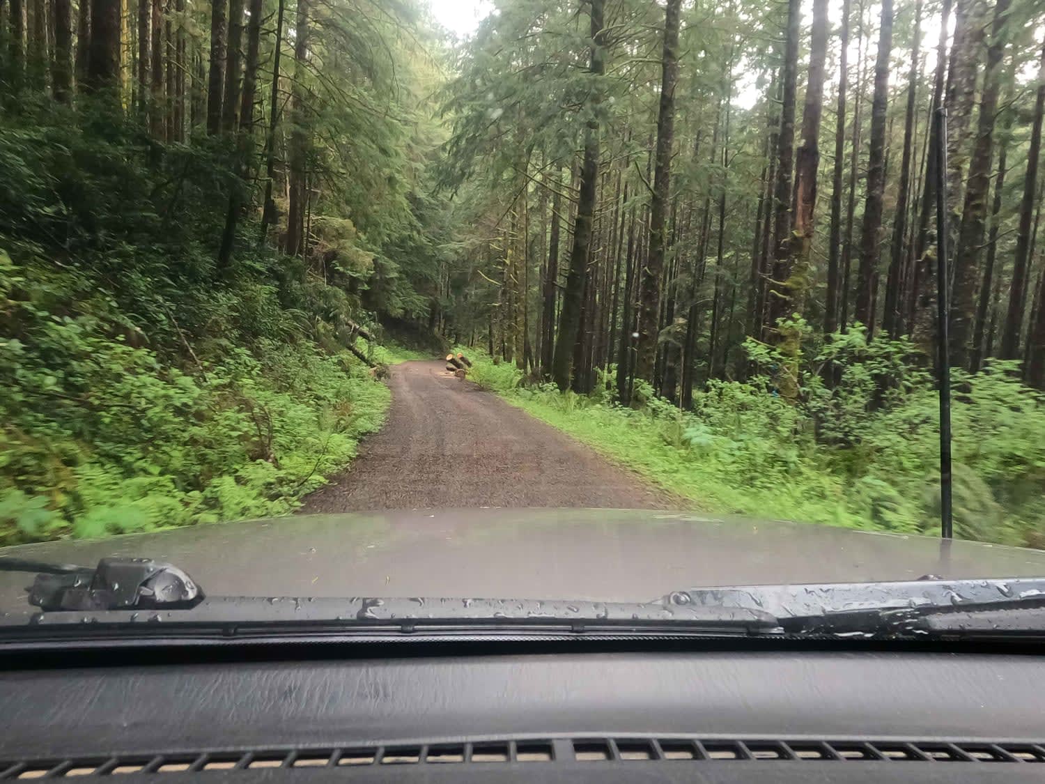
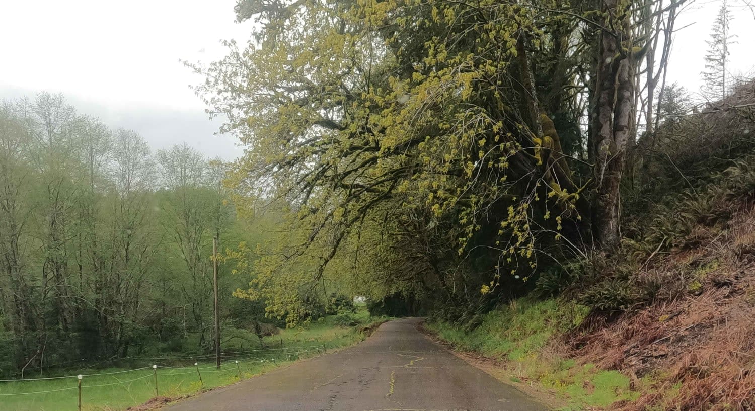
Bun Creek - NF1004
Total Miles
10.0
Elevation
471.41 ft
Duration
--
Technical Rating
Best Time
Spring, Summer, Fall
Trail Overview
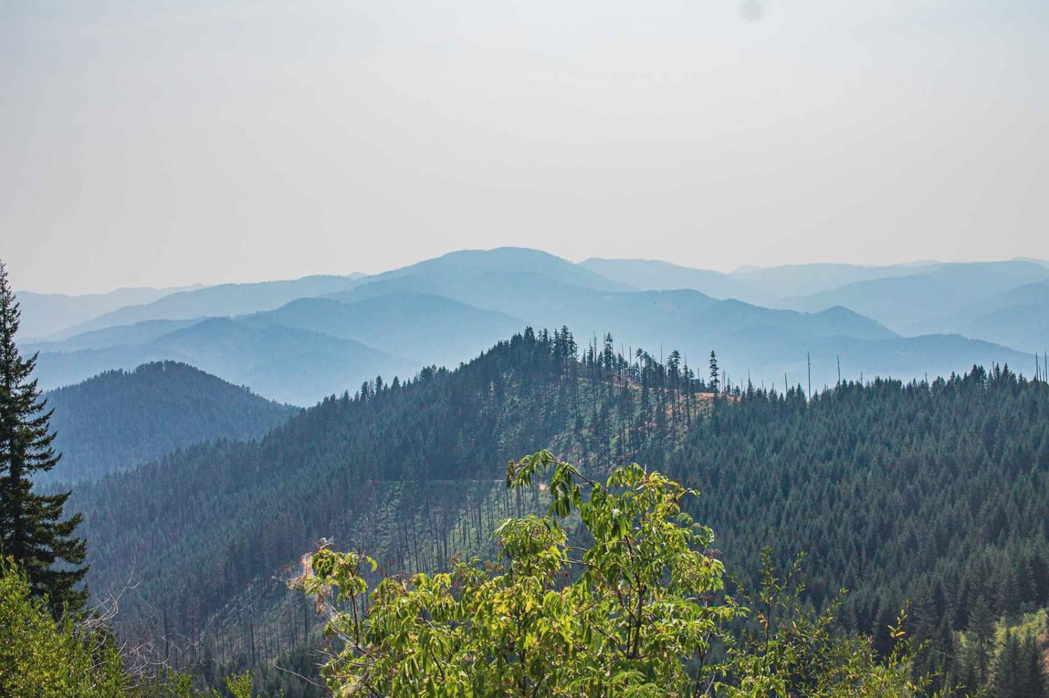
Gravel Forest Service Road climbing up over Buzzard Butte on the Oregon Coast. This is a segment of a longer 'City to Coast' route that traverses the Tillamook Range with the most off-pavement milage possible between the Portland Metro and the Oregon Coast. This route ends at the Sand Lake OHV Recreation Area, where camping and driving on the beach is allowed.
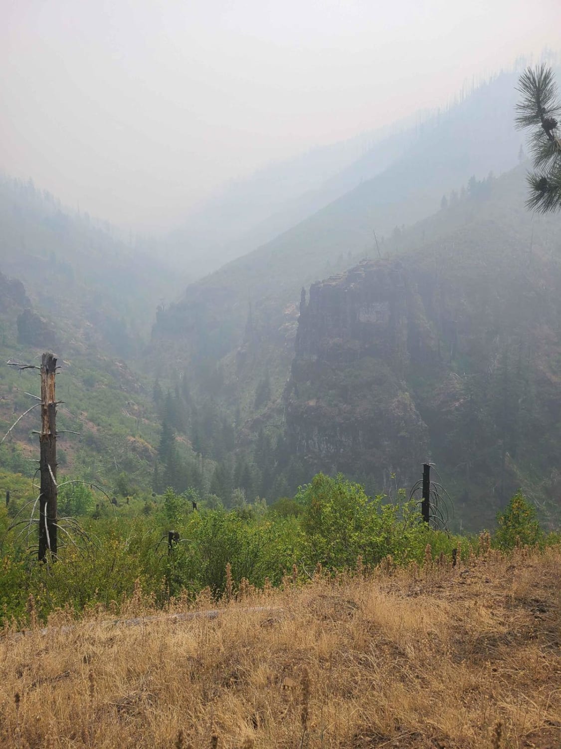
Photos of Bun Creek - NF1004
Difficulty
Easy gravel forest service road
Popular Trails
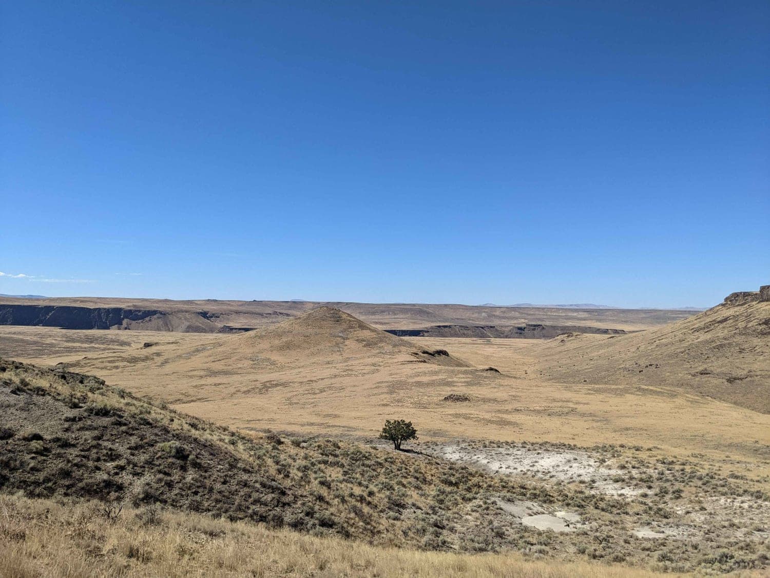
Jackson's Cat Trail
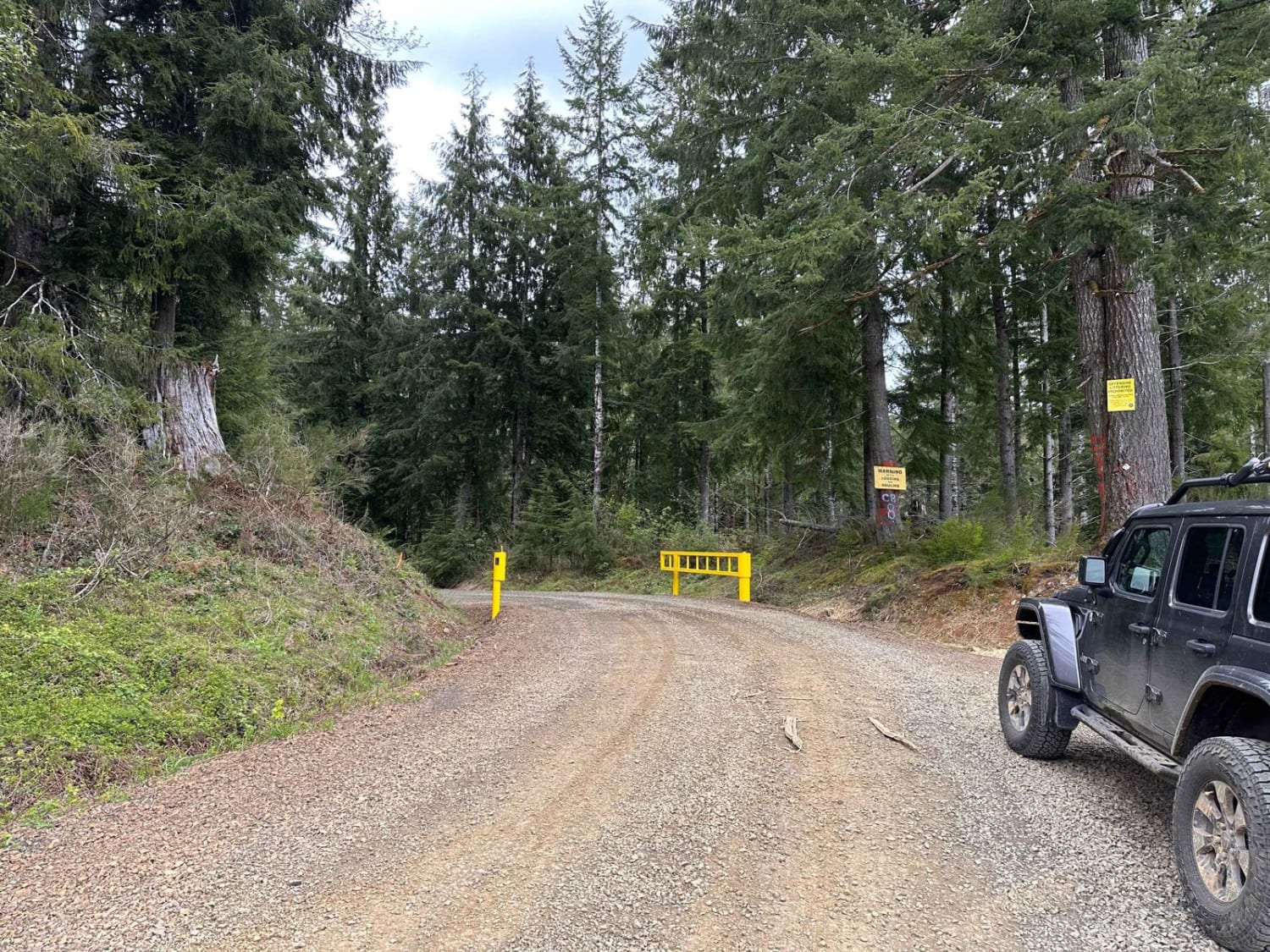
Cole Mtn Ridge
Grassy Ranch - Single Creek
Views and Falls #2143
The onX Offroad Difference
onX Offroad combines trail photos, descriptions, difficulty ratings, width restrictions, seasonality, and more in a user-friendly interface. Available on all devices, with offline access and full compatibility with CarPlay and Android Auto. Discover what you’re missing today!
