East Fork Rattlesnake
Total Miles
7.3
Technical Rating
Best Time
Summer, Fall
Trail Type
Full-Width Road
Accessible By
Trail Overview
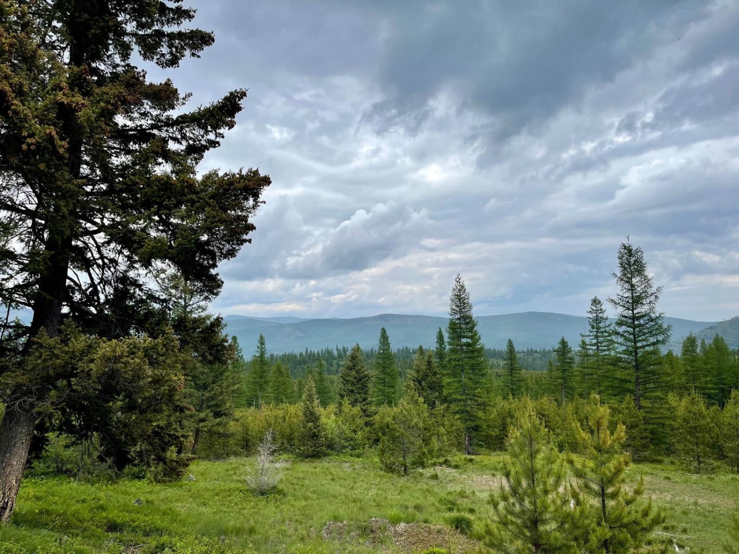
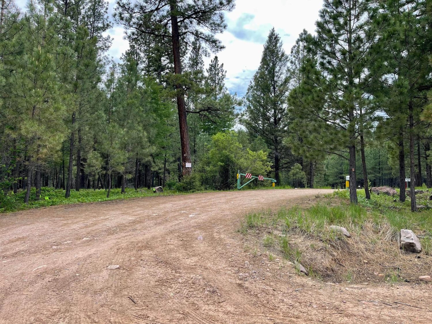
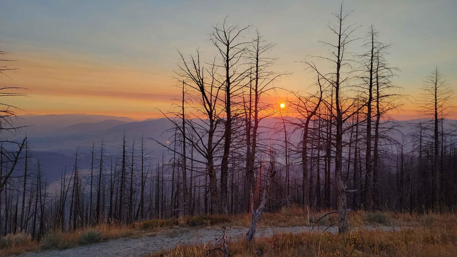
This easy trail heads straight up into the mountains from the valley below. The first mile and a half crosses through private property, so please be respectful and stick to the trail. Once past the private land, the trail twists and turns into the mountains. The trail eventually ends at a line of T-posts, clearly stating that the route does not continue. Right before the end of the trail, one can park and take the Sheep Mountain Hiking trail. Otherwise, take the trail to the right, see if you can make it up to the top of the Mineral Peak trail, and check out the lookout tower. Thinned trees transition to a dense forest the higher one goes. There is one bar of Verizon LTE that fades in and out. Rate it a two.
Photos of East Fork Rattlesnake
Difficulty
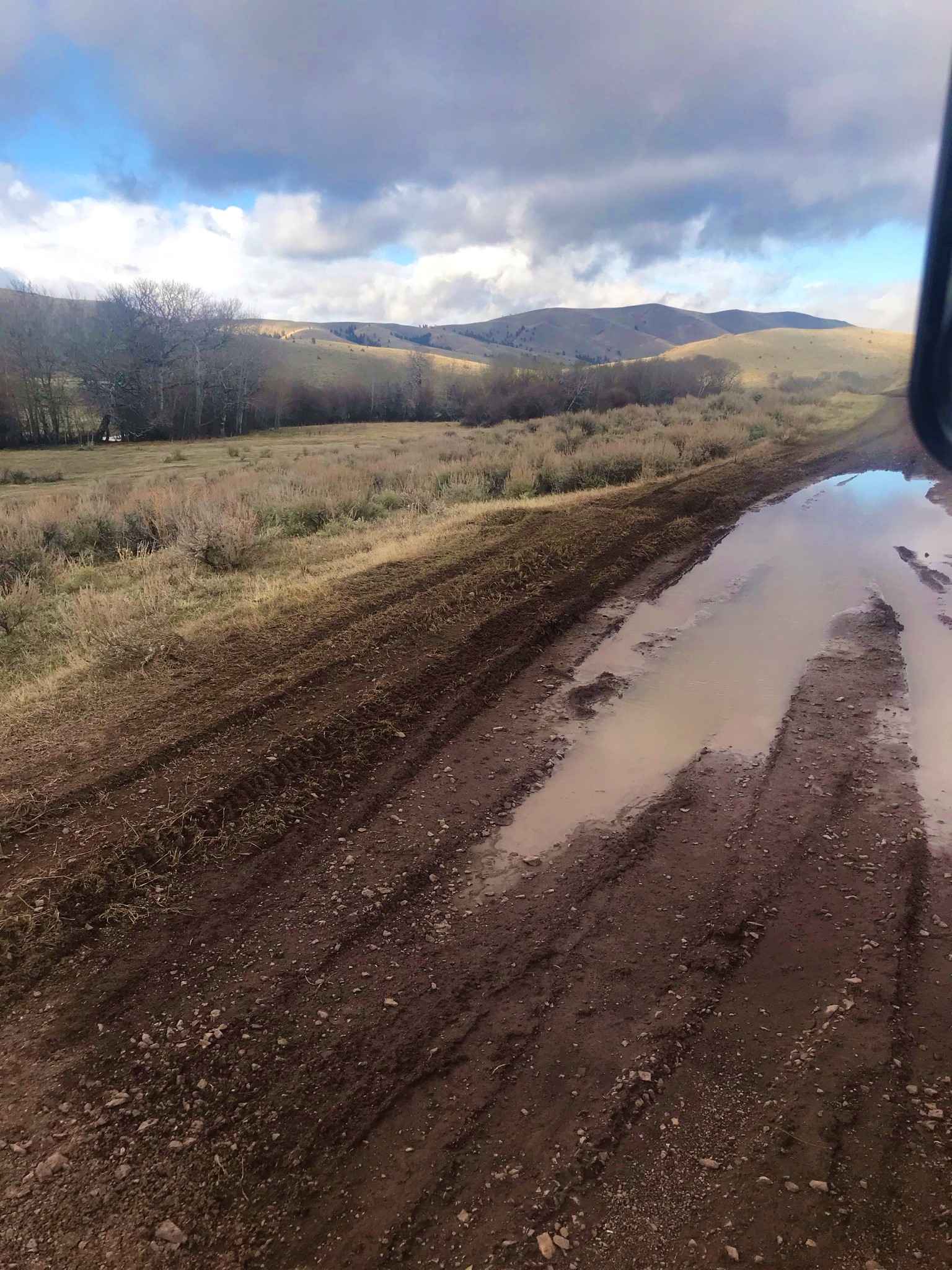
The trail is easy, with some potholes here and there and a few easy rocky sections. When the trail is wet, there will be some muddy sections. There are pullouts to pass the occasional oncoming traffic; otherwise, it's one vehicle width.
Status Reports
Popular Trails

Minesinger to Hidden Lake Pt. 2

Gravelly Lake

Siegel Pass-Nine Mile Rd
The onX Offroad Difference
onX Offroad combines trail photos, descriptions, difficulty ratings, width restrictions, seasonality, and more in a user-friendly interface. Available on all devices, with offline access and full compatibility with CarPlay and Android Auto. Discover what you’re missing today!


