Red Canyon
Total Miles
2.9
Technical Rating
Best Time
Fall, Summer, Spring
Trail Type
Full-Width Road
Accessible By
Trail Overview
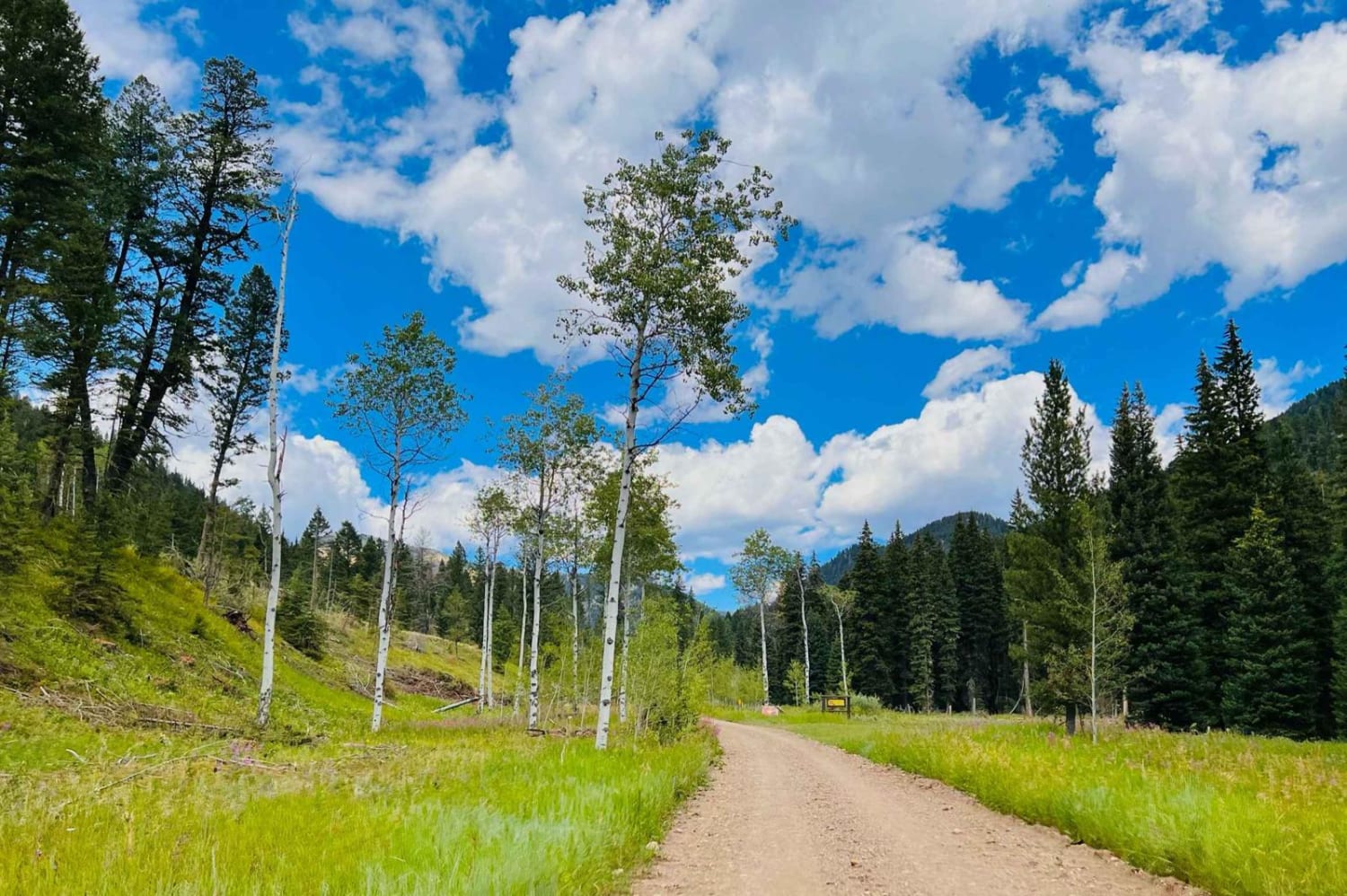
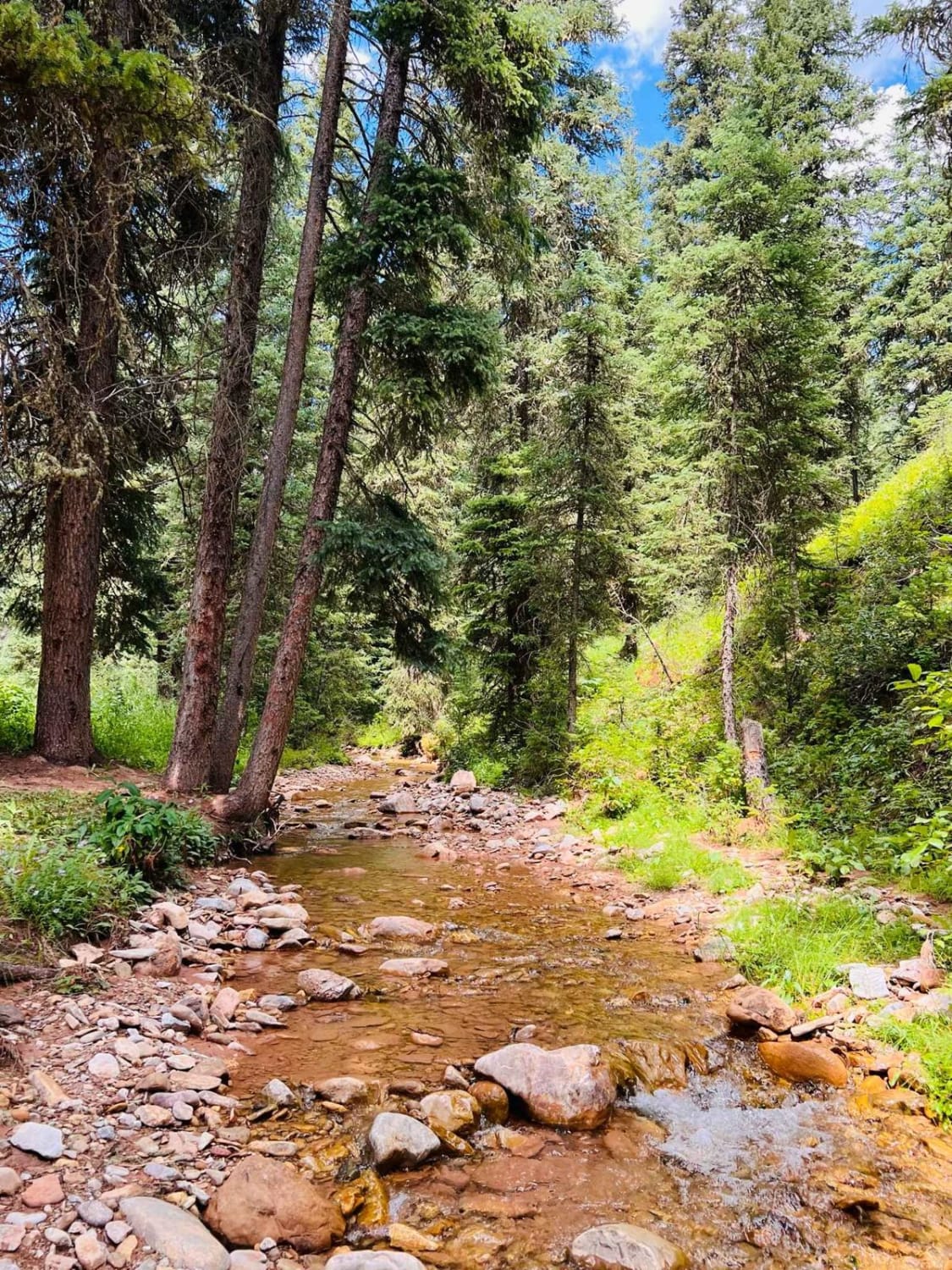
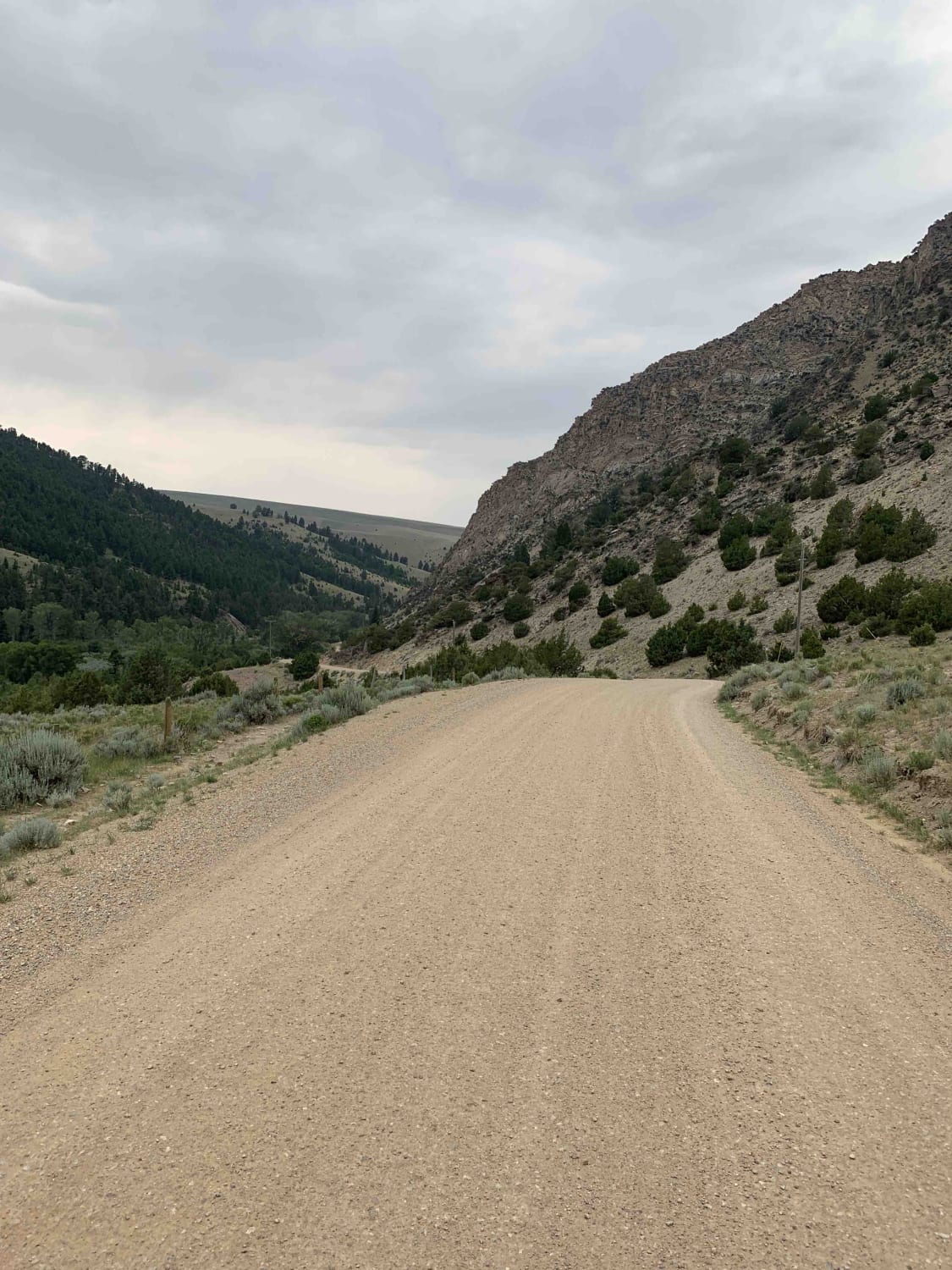
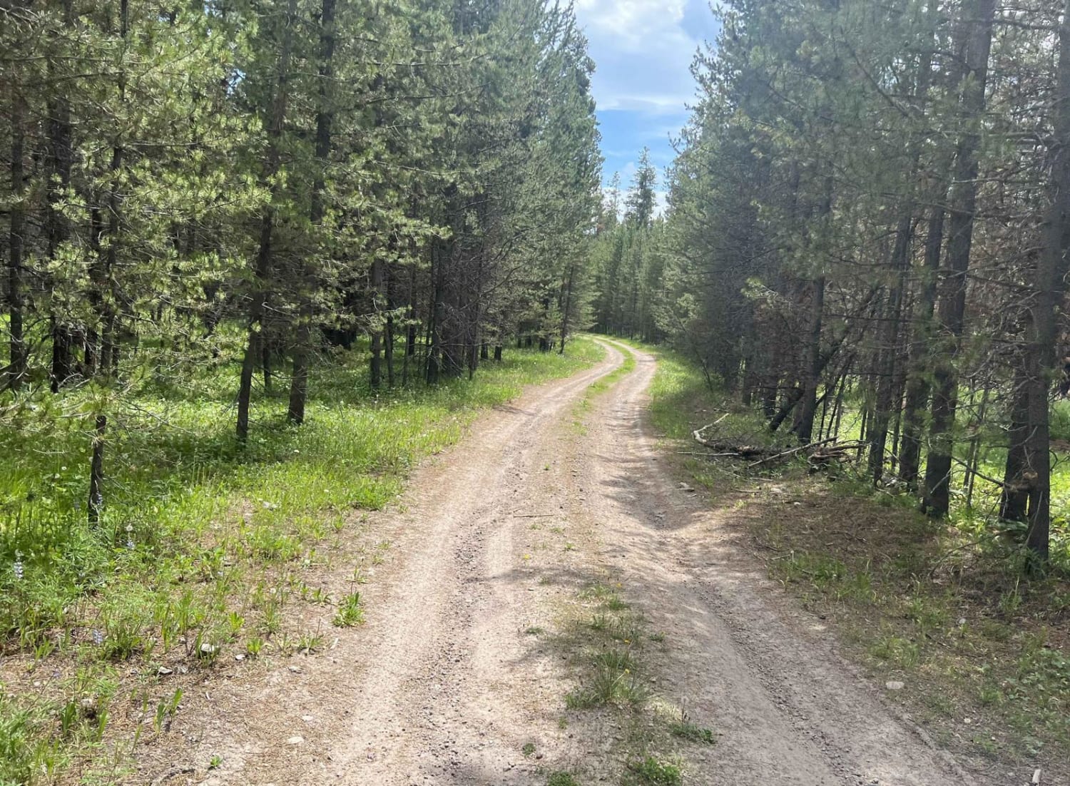
This is a pretty out-and-back trail up through red canyon that ends at the hiking trail for Red Canyon Creek. The beginning of the trail is through private property, and the trail surface is well-maintained dirt and gravel. Once the trail enters the national forest, it has a few more ruts and areas where it would be slick when wet. The scenery of this trail is rolling grass hills through the canyon, lots of pine trees, and glimpses of the stunning rock face of Kirkwood Ridge. There are designated dispersed campsites further up this trail, and a couple of them are right along Red Canyon Creek. Some of the other campsites are at or near the hiking trailheads. Look for a little signpost with a camping tent symbol designating each official dispersed campsite. There are two hiking trails off this trail, Mount Hegben, and Red Canyon Creek. There is no cell service back here. Be prepared with your offline maps.
Photos of Red Canyon
Difficulty
Dirt and gravel then narrows with potholes and ruts and may be very muddy when wet.
Status Reports
Popular Trails
Blue Joint Coal Creek Ridge

Jocko Canyon Road
East Bench (FS 8378)
The onX Offroad Difference
onX Offroad combines trail photos, descriptions, difficulty ratings, width restrictions, seasonality, and more in a user-friendly interface. Available on all devices, with offline access and full compatibility with CarPlay and Android Auto. Discover what you’re missing today!
