Upper Veyo Shoal Creek-FR30006
Total Miles
7.2
Elevation
1,876.37 ft
Duration
0.5 Hours
Technical Rating
Best Time
Spring, Summer, Winter, Fall
Trail Overview
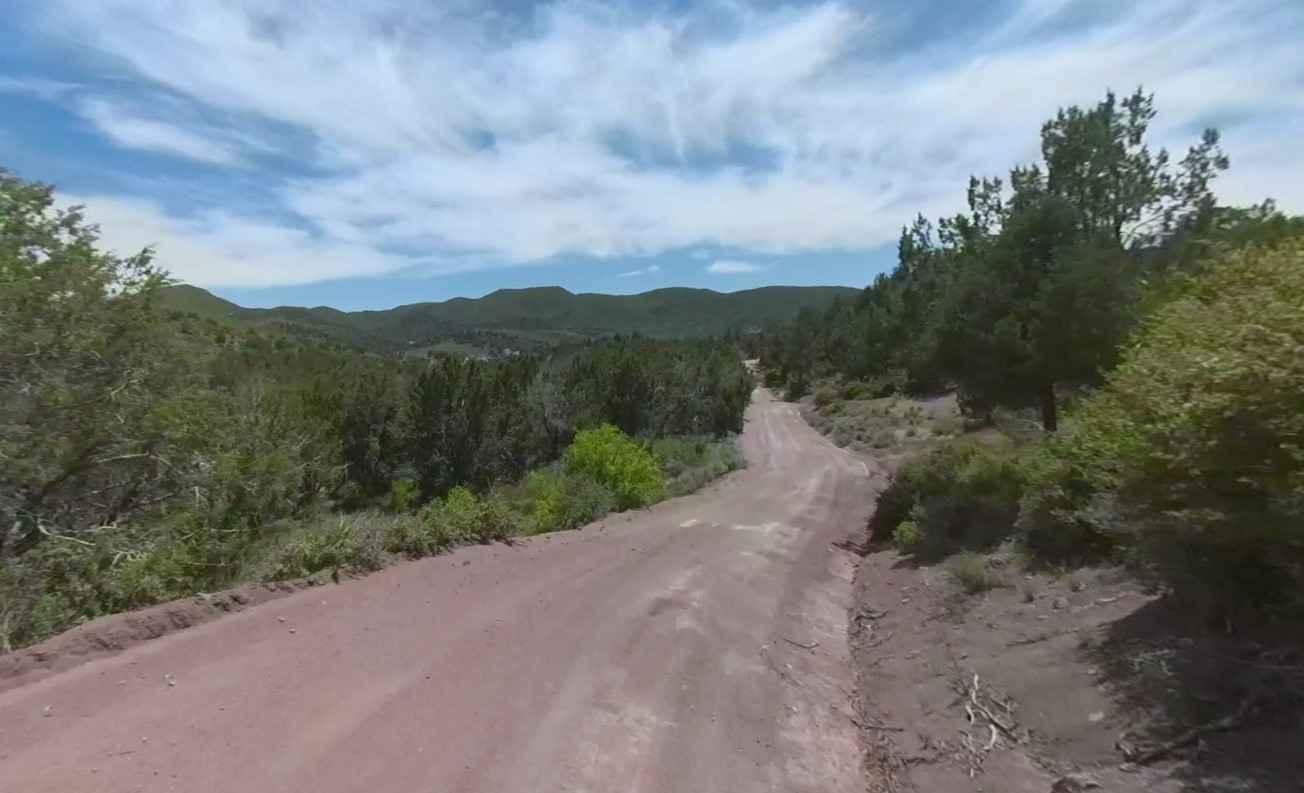
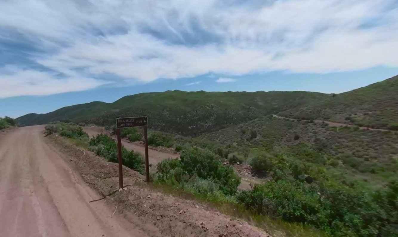
Upper Veyo Shoal Creek-FR30006 is a 7.2-mile trail rated 2 of 10 in the Dixie National Forest in the Pine Valley Ranger District. Veyo Shoal Creek Road is your entryway into adventure in southern Utah. This improved dirt trail provides easy access from the Upper Enterprise Reservoir and connects with the Lower Enterprise Lakes/Veyo Road and the community of Veyo. Along the route, there is an abundance of primitive camping sites, many sites having room for a family gathering or group outings. Upper Veyo Shoal Creek provides access to a multitude of trails that run throughout the Dixie National Forest. The route is the main north-south trail through the region. It connects with numerous other 4x4 and ATV-type trails that require 4x4 and high clearance. This part of Washington County is rugged and remote. Visitors should plan carefully and be prepared for backcountry travel conditions. This trail is not recommended during winter months as snow tends to accumulate above 5,000 feet.
Photos of Upper Veyo Shoal Creek-FR30006
Difficulty
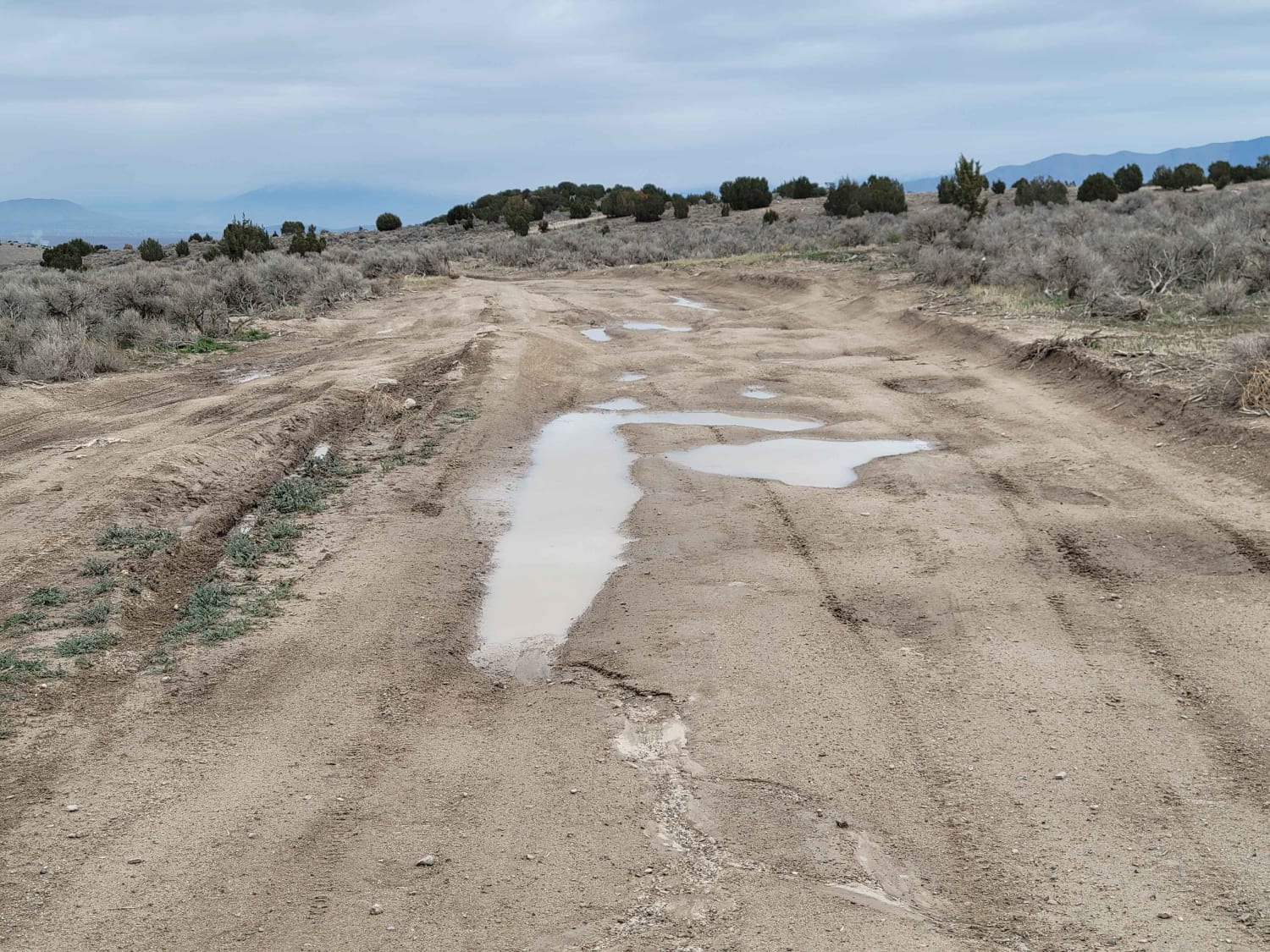
This is a county dirt road with infrequent or light maintenance after rain or snow. High-clearance light-duty 4WD is recommended.
Status Reports
Popular Trails
BLM Route 107
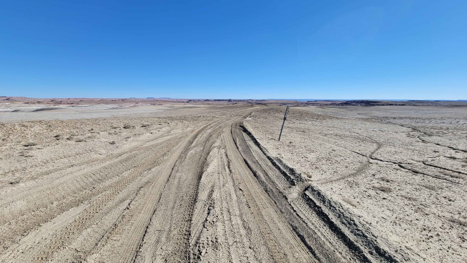
Blue Valley Road
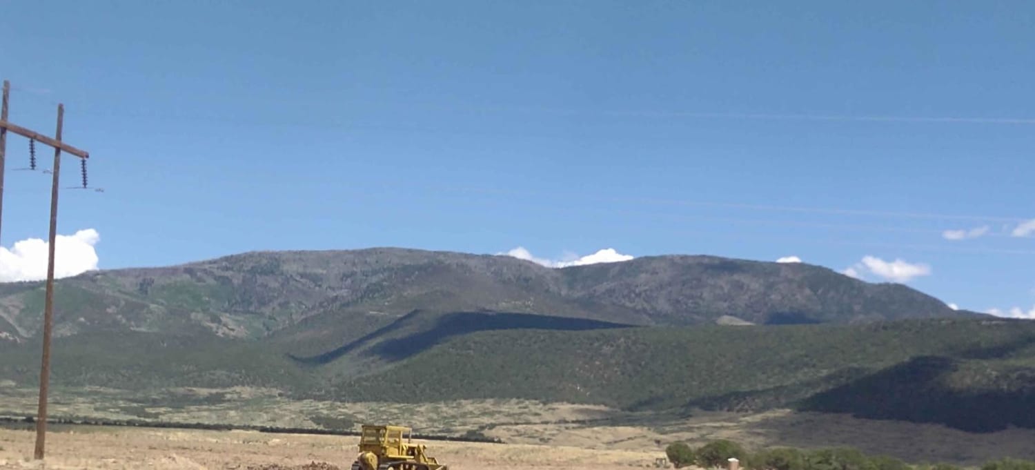
Beaver, Utah, to "The Face"
The onX Offroad Difference
onX Offroad combines trail photos, descriptions, difficulty ratings, width restrictions, seasonality, and more in a user-friendly interface. Available on all devices, with offline access and full compatibility with CarPlay and Android Auto. Discover what you’re missing today!
