Signal Peak
Total Miles
2.0
Technical Rating
Best Time
Spring, Summer, Fall
Trail Type
Full-Width Road
Accessible By
Trail Overview
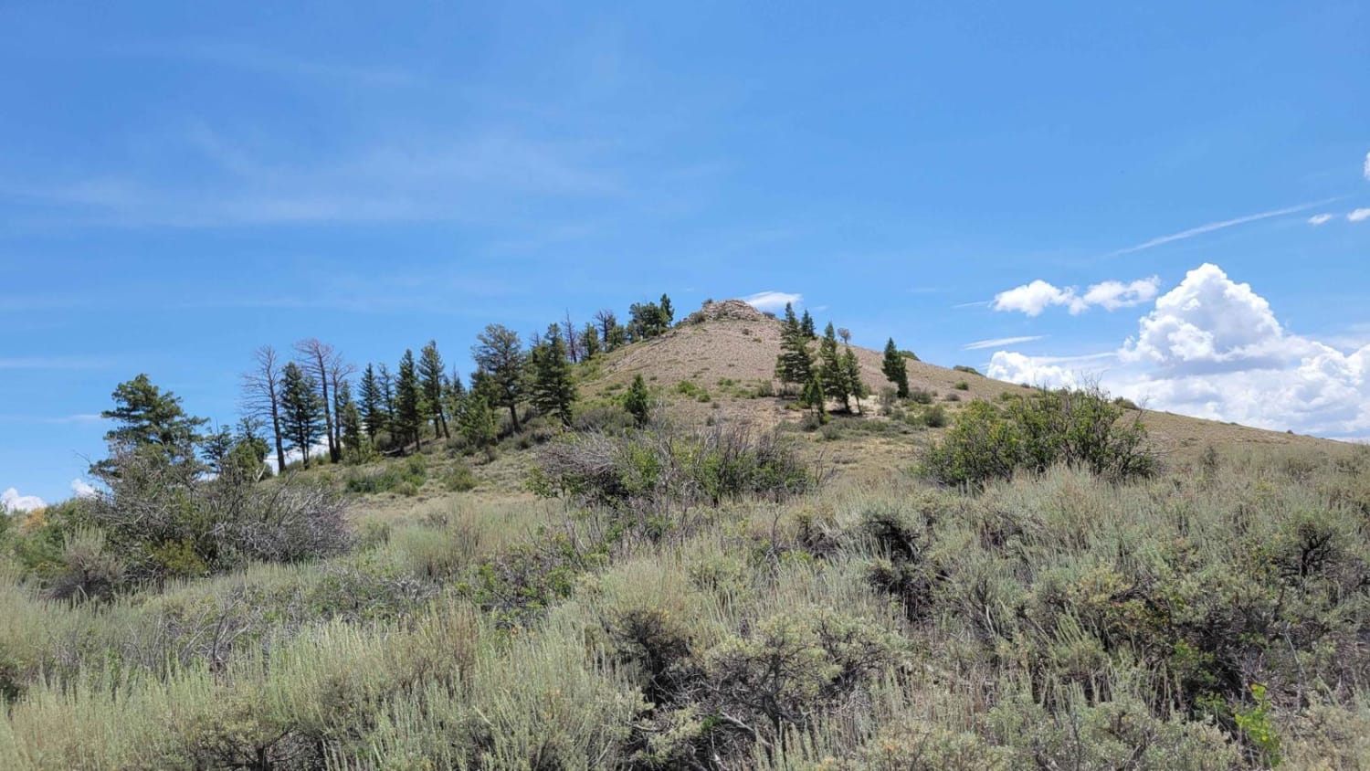
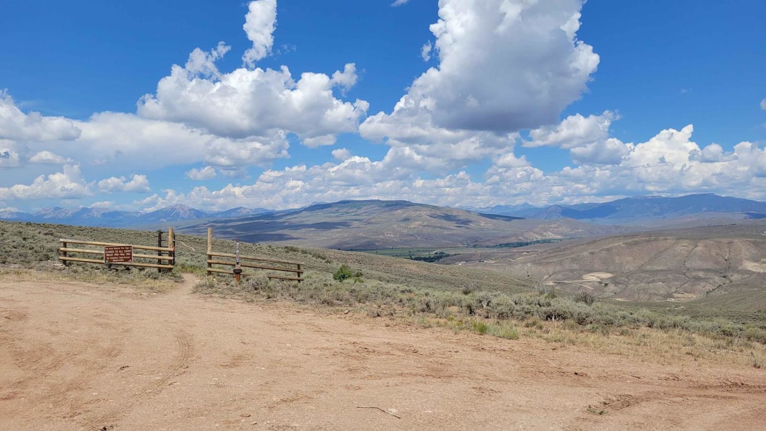
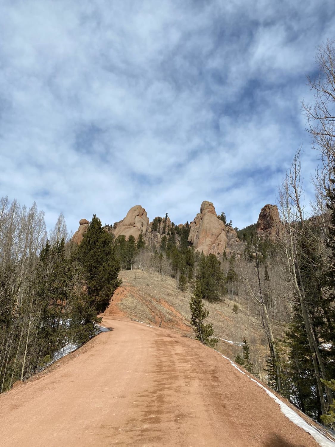
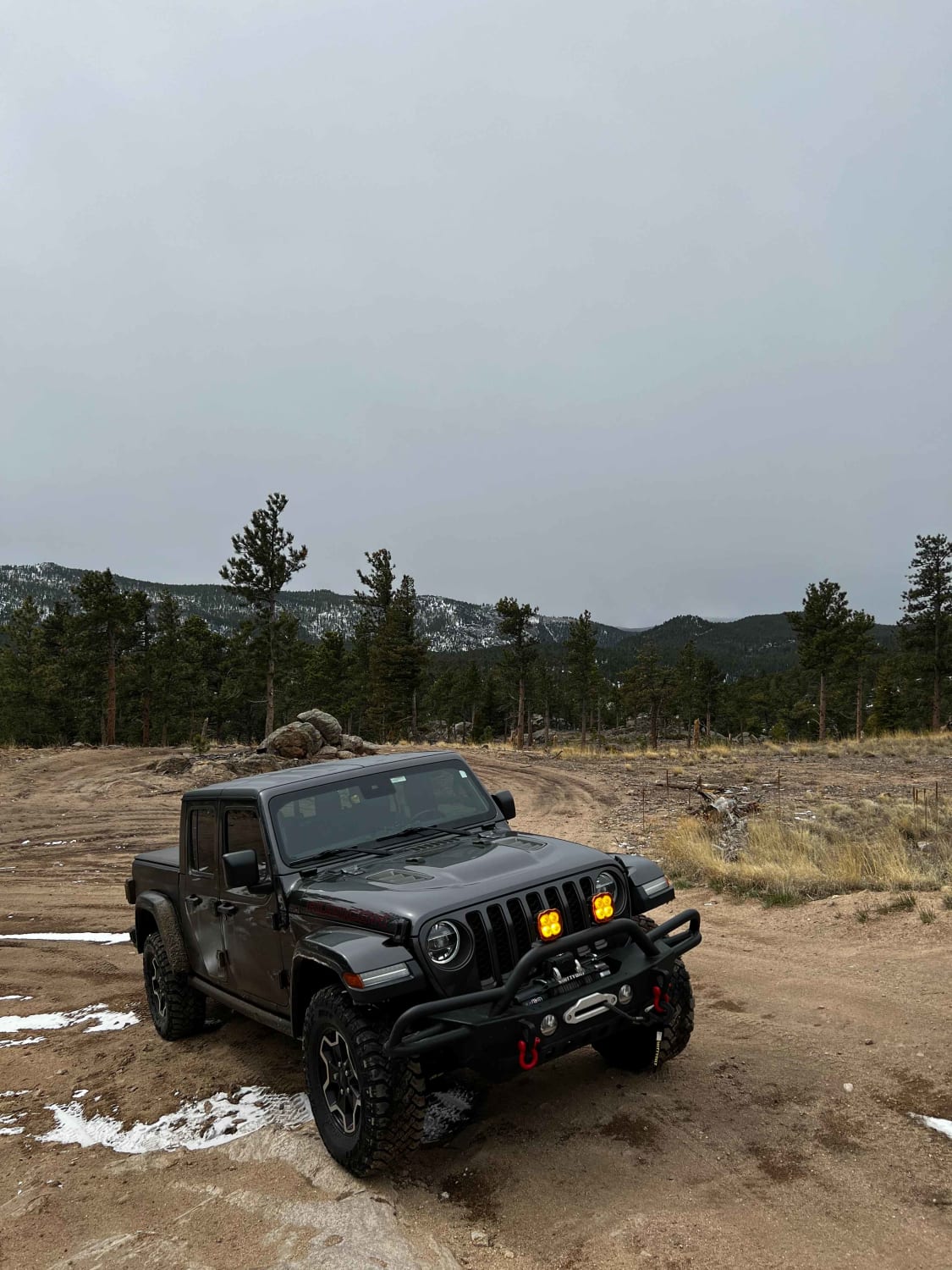
The Signal Peak Trail runs East to West through BLM land south of Gunnison National Forest. The trail makes for a smooth ride with a consistent 1,000-foot climb. The final stretch becomes fairly steep but should not pose a problem with good technique. A short hike up Signal Peak leads to a beautiful view. Campsites could be found with some creativity. Some cell service exists while on Signal Peak; however, it is advisable to download offline maps.
Photos of Signal Peak
Difficulty
This trail should be suitable for most stock SUVs.
Status Reports

Popular Trails
Argentine Pass
Rattle Snake Canyon
Gold Camp Rd to Cripple Creek
Cave Creek Road
The onX Offroad Difference
onX Offroad combines trail photos, descriptions, difficulty ratings, width restrictions, seasonality, and more in a user-friendly interface. Available on all devices, with offline access and full compatibility with CarPlay and Android Auto. Discover what you’re missing today!