Burnside Lake Road - 31019
Total Miles
5.5
Technical Rating
Best Time
Spring, Summer, Fall
Trail Type
Full-Width Road
Accessible By
Trail Overview
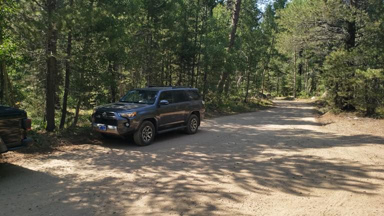
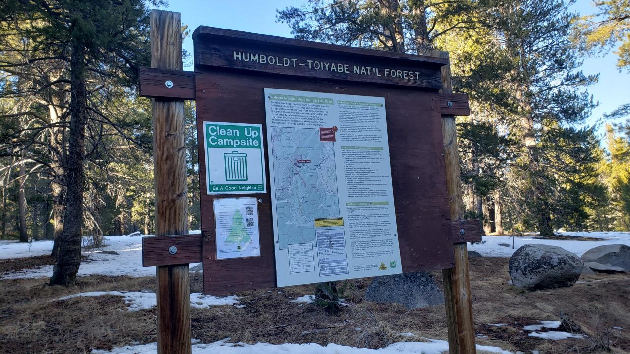
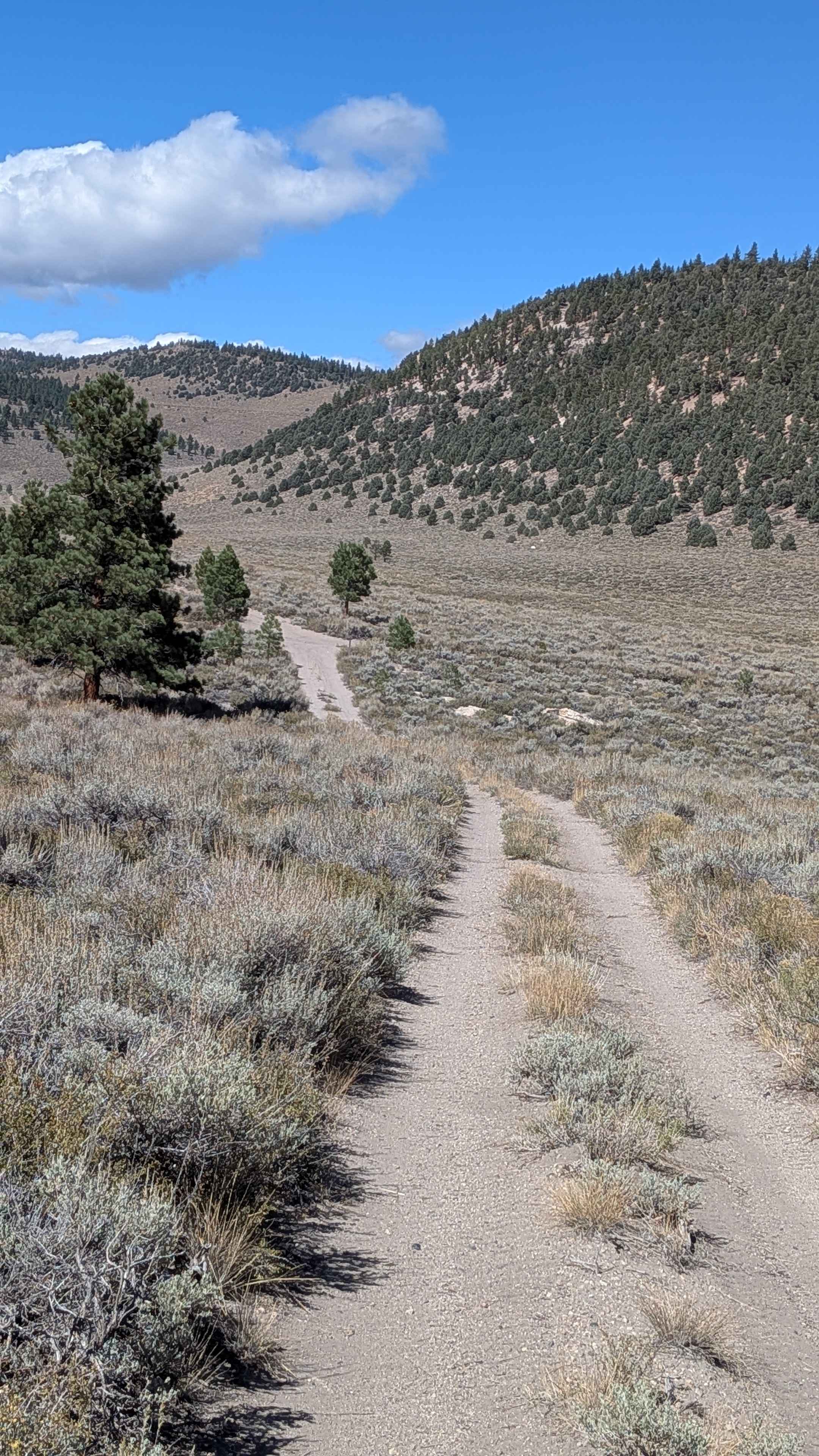
The 5.5-mile out and back dirt road will take you from HWY 88/89 intersection to Burnside Lake. The dirt road is relatively smooth and wide enough for two vehicles to pass. This is a well-traveled and popular road in the summer. During dry weather 2WD SUVs can easily get to the lake. There are many side roads and trails that can be taken from Burnside Lake Road, all of which are rated more difficult, and require 4x4 with high clearance. In the spring, there are several creeks that cross under the road in drain pipes, including Hawkins Creek. During the winter, the road maybe covered in snow, sometimes deep snow, and is impassable for most stock 4x4s. Cell phone service is not reliable along parts of this road. No visitor fees are required to drive south to the Lake. At the beginning of the road, you will see a sign that requires a visitor fee to be paid. The visitor fee is for the Hope Valley Wildlife Area just north and across from HWY 88.
Photos of Burnside Lake Road - 31019
Difficulty
The smooth and wide double lane compacted dirt road has gradual and gentle elevation changes. This makes the road an easy one.
Status Reports
Burnside Lake Road - 31019 can be accessed by the following ride types:
- High-Clearance 4x4
- SUV
Burnside Lake Road - 31019 Map
Popular Trails

Dry Creek Knoll Side Spur - 3S110B
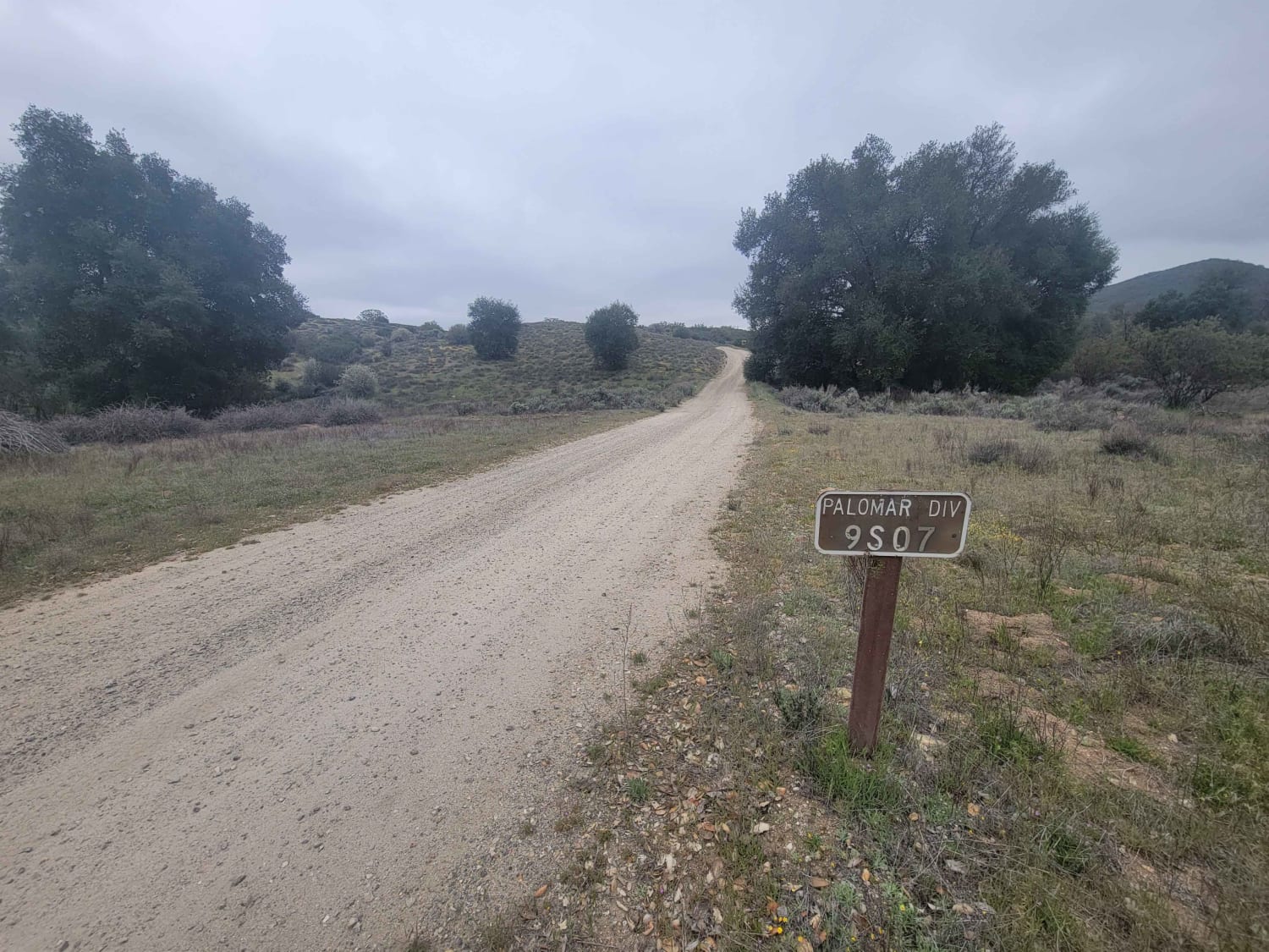
Palomar Divide (9S07)
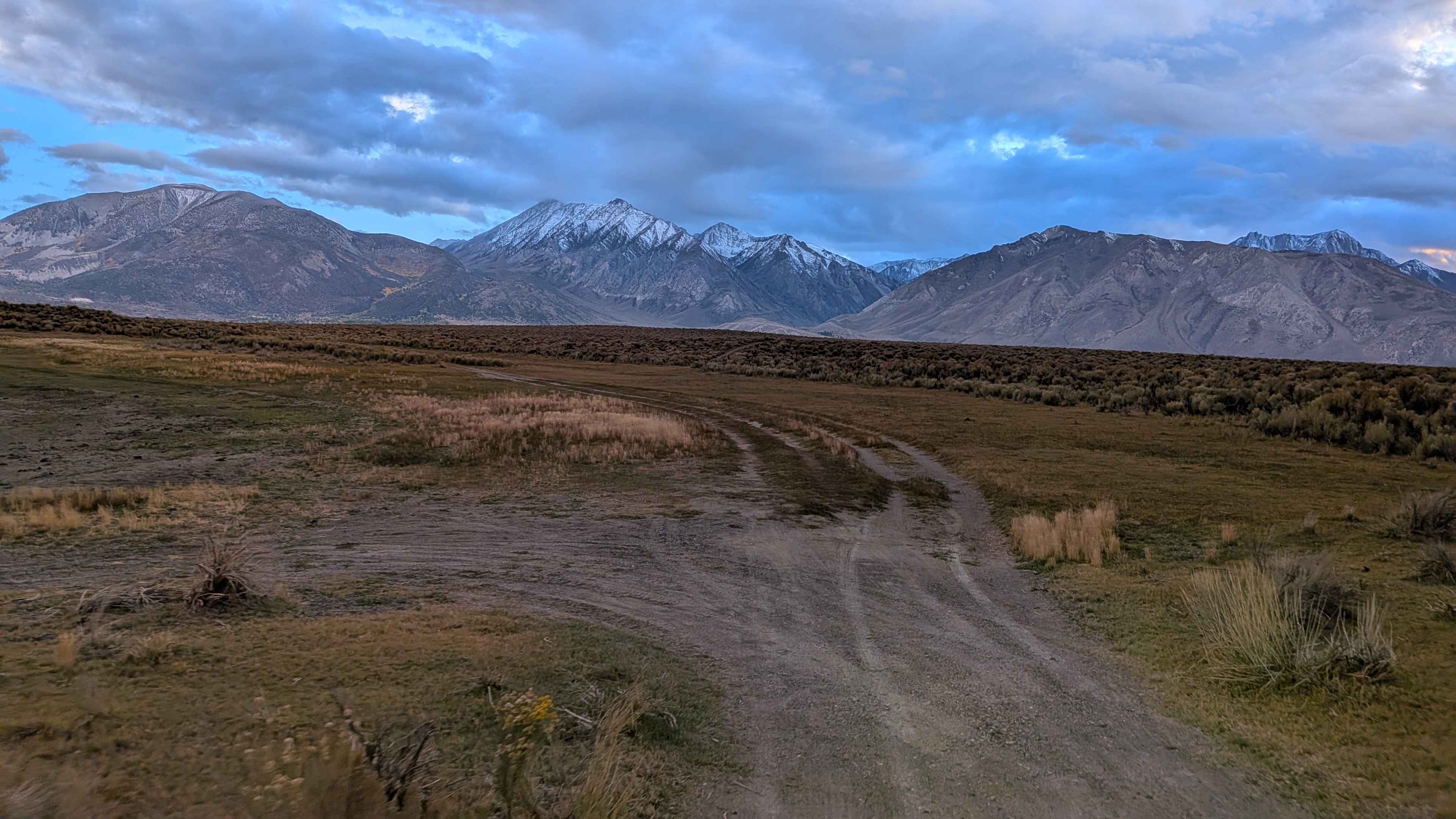
Lake Crowley North Landing Shoreline Loop
The onX Offroad Difference
onX Offroad combines trail photos, descriptions, difficulty ratings, width restrictions, seasonality, and more in a user-friendly interface. Available on all devices, with offline access and full compatibility with CarPlay and Android Auto. Discover what you’re missing today!
