Smoky Mountain Road
Total Miles
43.7
Elevation
1,958.65 ft
Duration
4 Hours
Technical Rating
Best Time
Spring, Fall
Trail Overview
This is a backcountry route bordering the Burning Hills Wilderness Study Area. It connects Alstrom Point above Lake Powell to the Grand Staircase Escalante National Monument. It starts with a steep climb up Kelly Grade. When dry, this road is a straightforward drive with plenty of twists, turns and climbs in and out of washes to keep things interesting. On the northern end, the road connects to BLM 230 and drops into Willard Wash, which has an active stream. This road is up above 5000 feet elevation, so it is impassable in winter and early spring due to snow and muddy conditions.
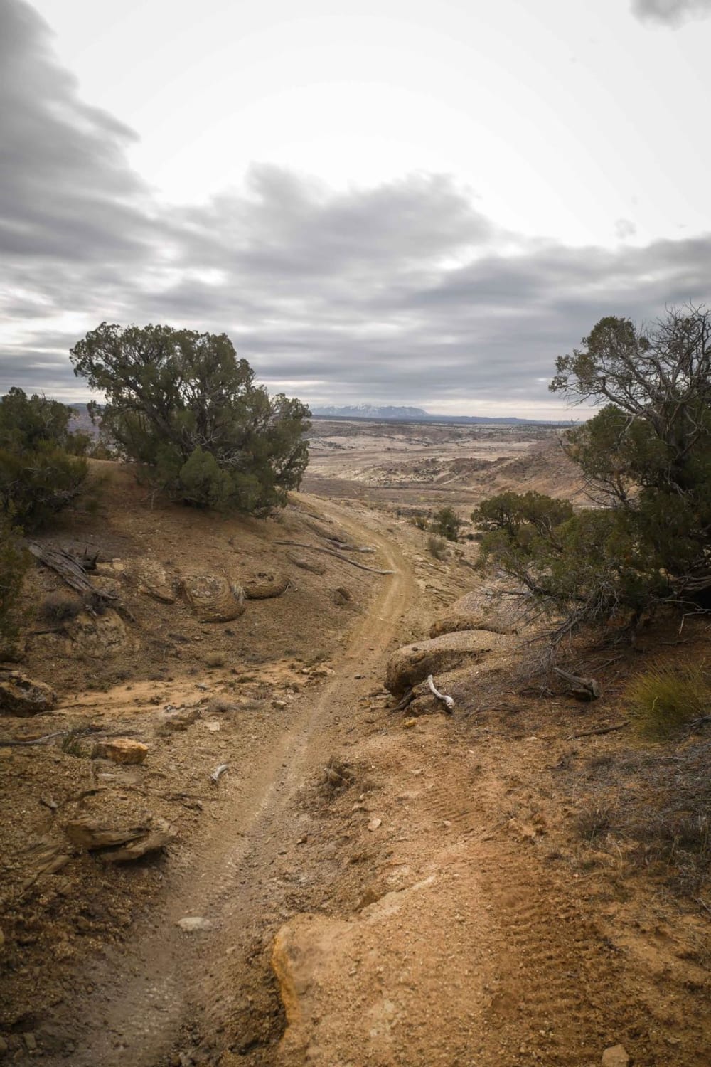
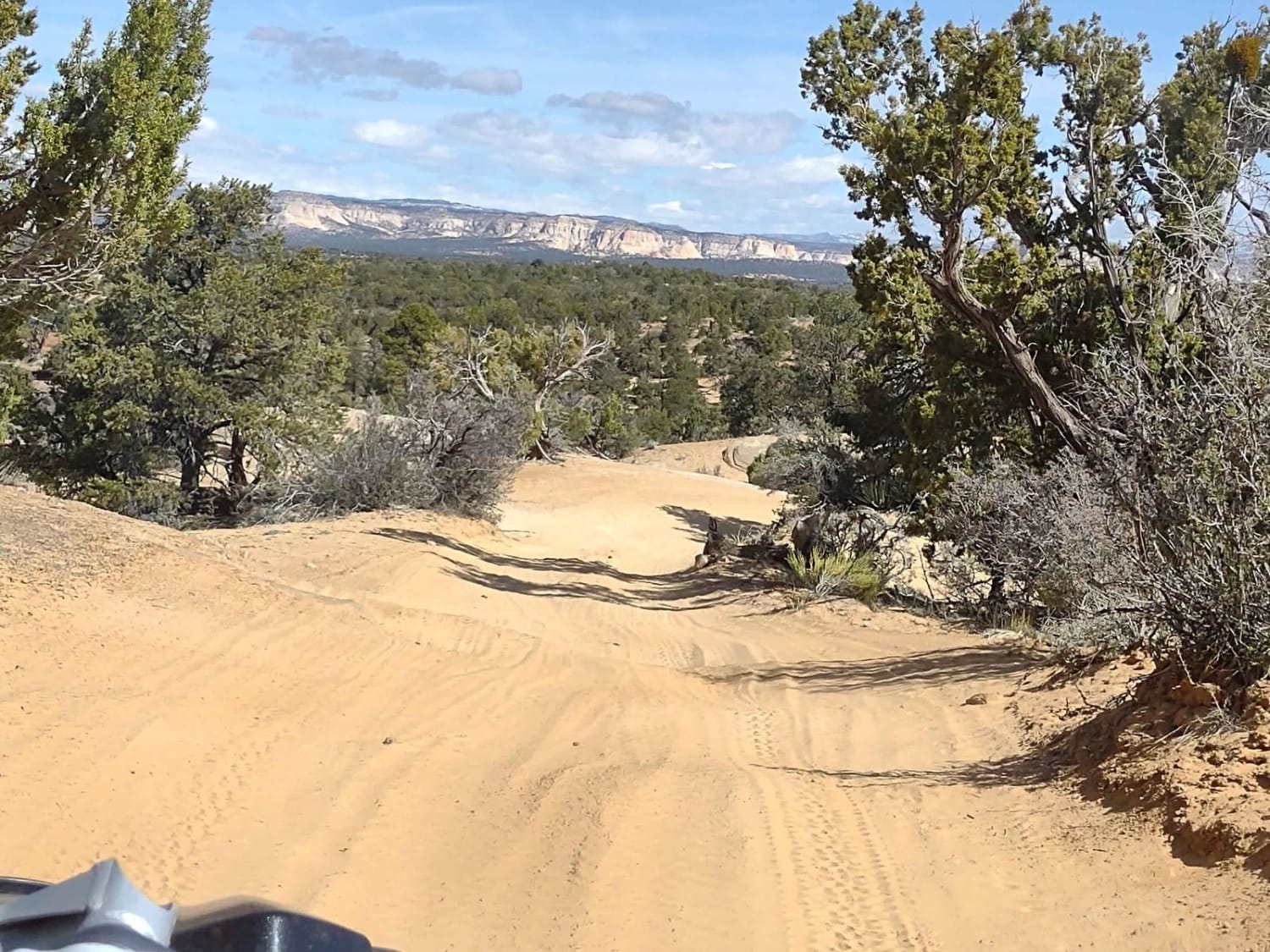
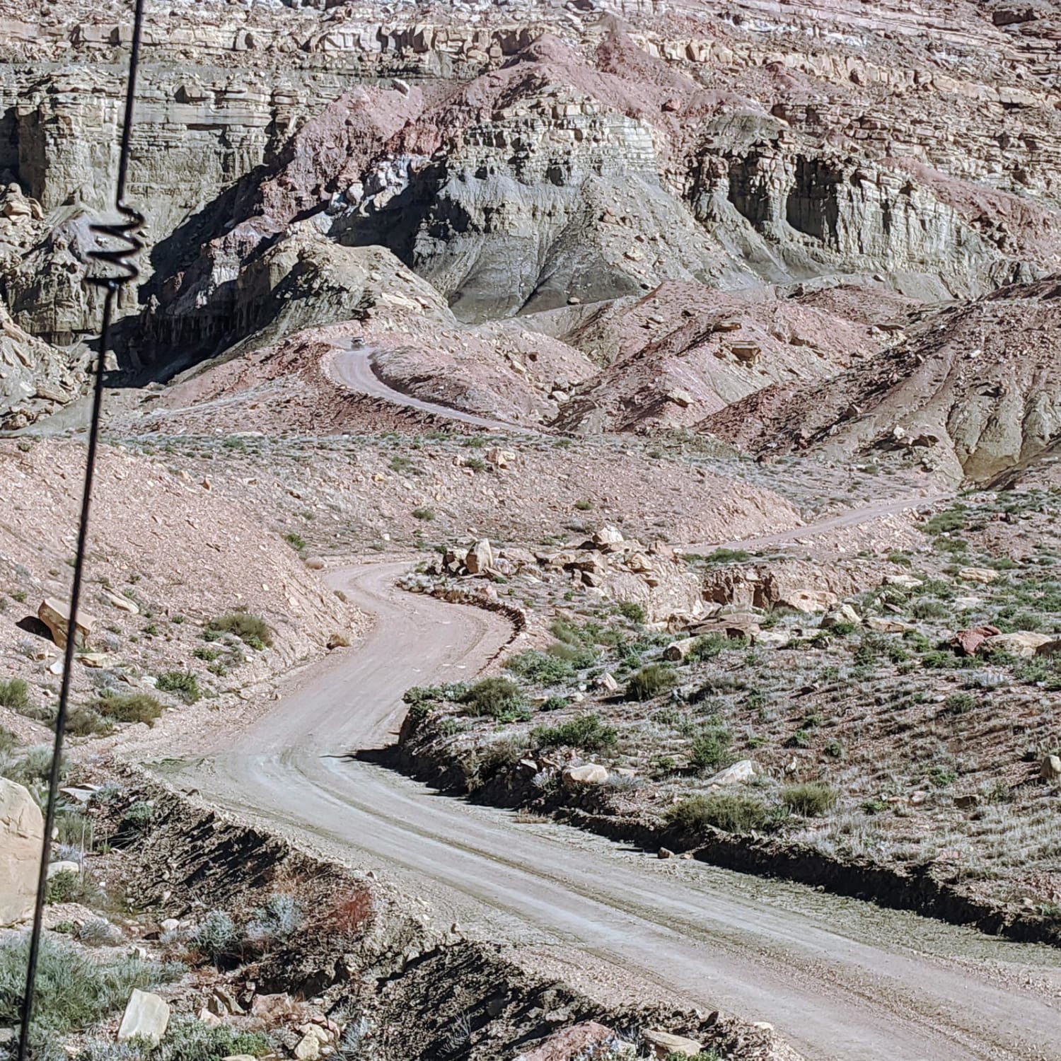
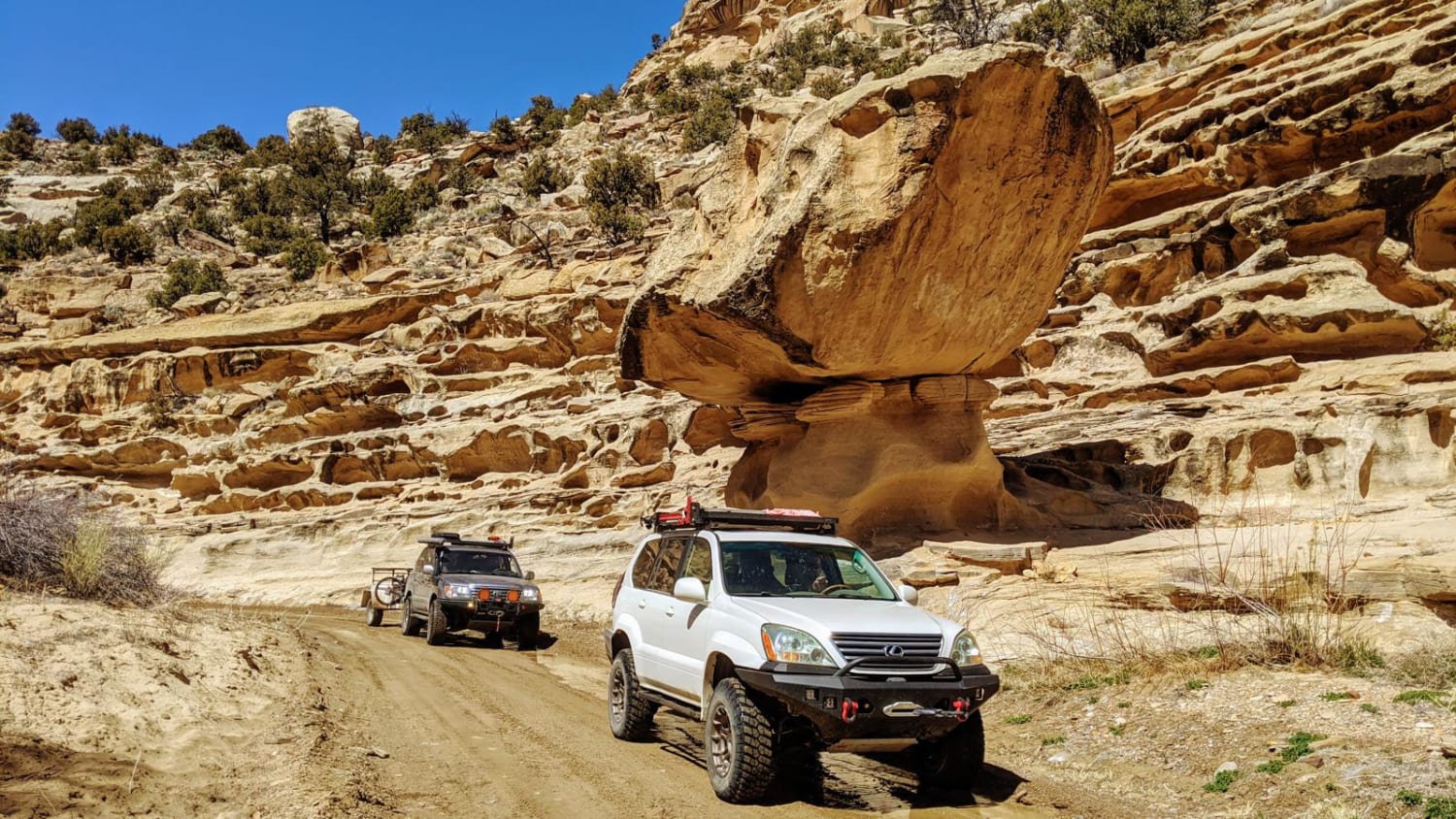
Photos of Smoky Mountain Road
Difficulty
Other than a few bumpy climbs in and out of washes, this is an easy dirt road.
Status Reports
Popular Trails

ATV2 / ATV4 to Cascade Springs Drive

Westwater Mesa Loop Trail

Guys Trail (South)

Mosdell Trail (BLM HC1Z)
The onX Offroad Difference
onX Offroad combines trail photos, descriptions, difficulty ratings, width restrictions, seasonality, and more in a user-friendly interface. Available on all devices, with offline access and full compatibility with CarPlay and Android Auto. Discover what you’re missing today!

