Sonoma Creek Trail
Total Miles
5.1
Elevation
1,715.68 ft
Duration
3 Hours
Technical Rating
Best Time
Summer
Trail Overview
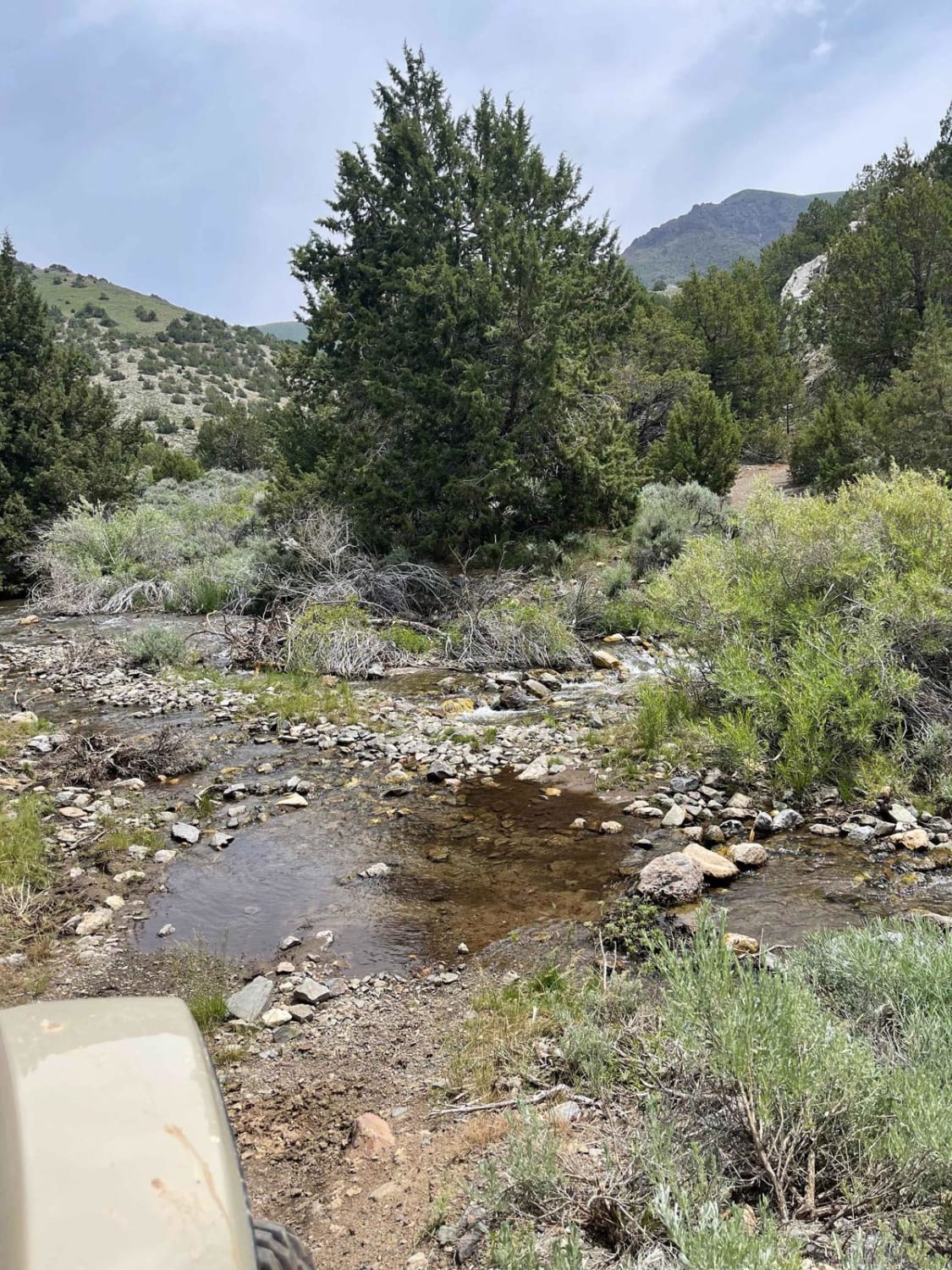
From Winnemucca head south on Grass Valley Road for approximately 14 miles trail starts on the left, there is a waypoint at the turnaround point, after this point there are several very sketchy water crossings, 4WD, Lockers, recommended if you want to go past this waypoint!
Photos of Sonoma Creek Trail
Difficulty
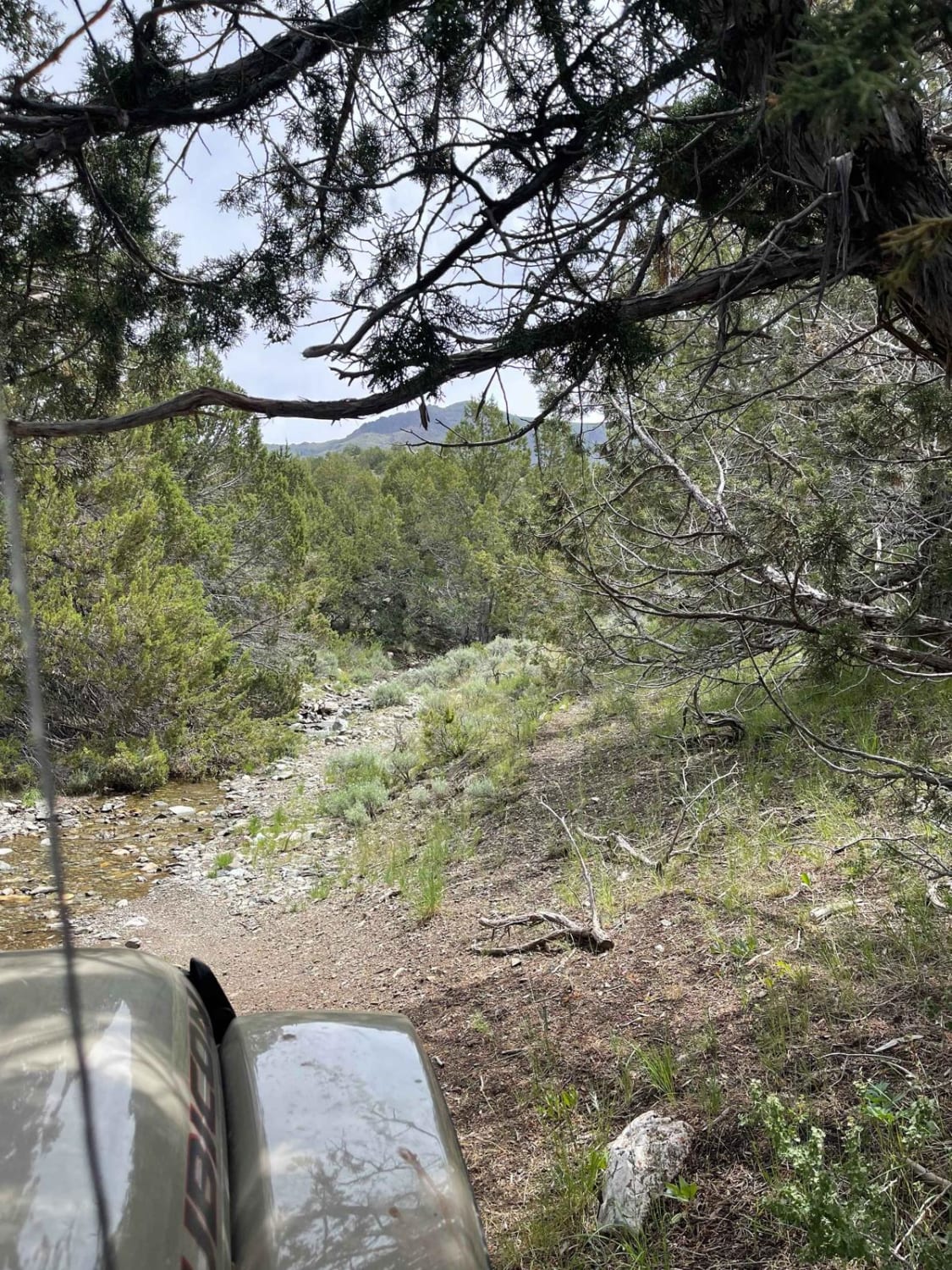
It is a pretty easy trail most of the way, you will reach a turnaround point and there is a waypoint here, don't go any further unless you are comfortable with sketchy water crossings! The trail is very narrow and rocky after this point.
Status Reports
Popular Trails
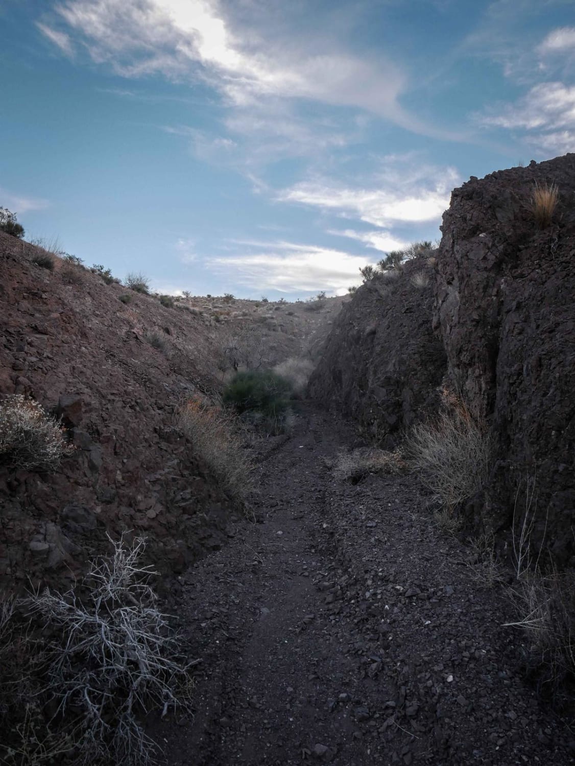
Rock Canyon Wash

Witney to Lake Mead
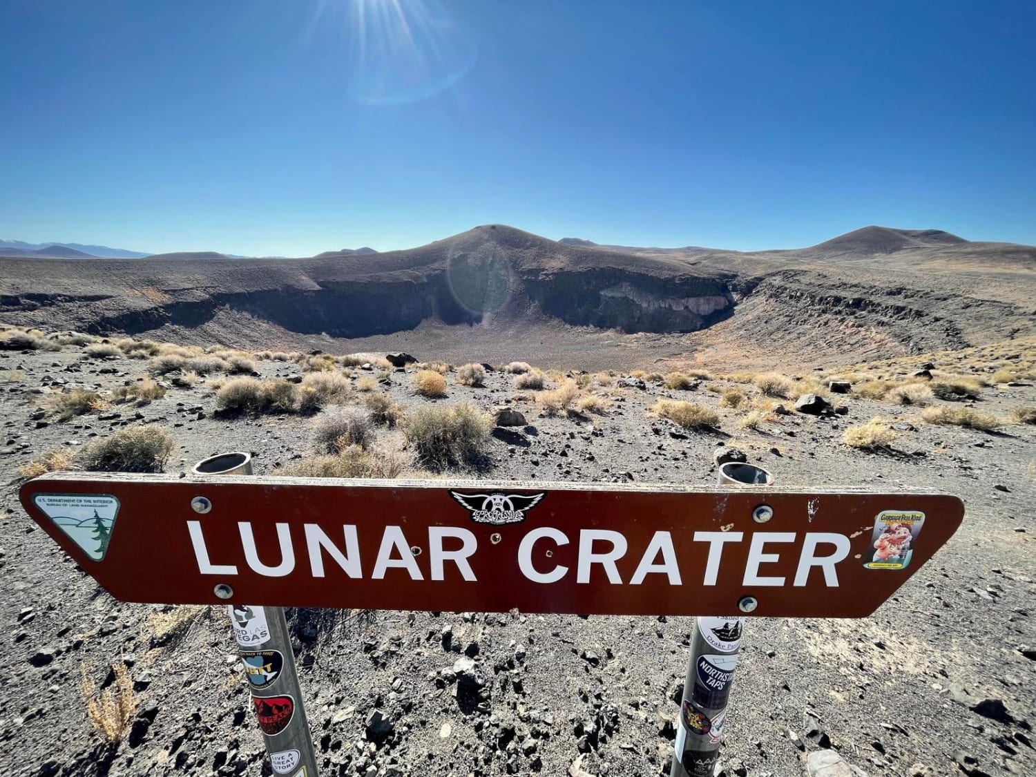
Lunar Crater National Backcountry Byway
The onX Offroad Difference
onX Offroad combines trail photos, descriptions, difficulty ratings, width restrictions, seasonality, and more in a user-friendly interface. Available on all devices, with offline access and full compatibility with CarPlay and Android Auto. Discover what you’re missing today!
