Trestle Creek Trail
Total Miles
15.7
Elevation
1,641.30 ft
Duration
0.75 Hours
Technical Rating
Best Time
Fall, Summer, Spring
Trail Overview
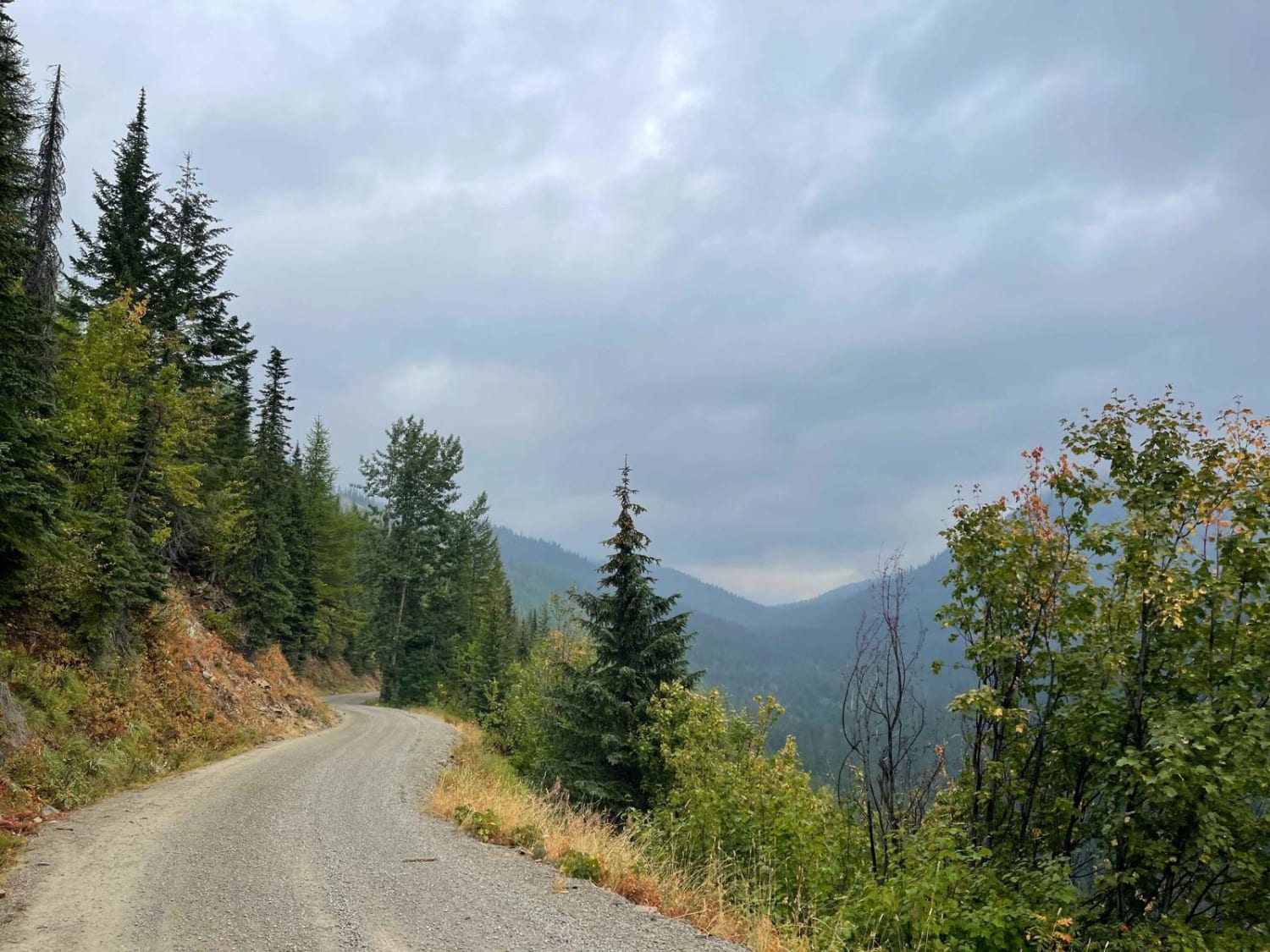
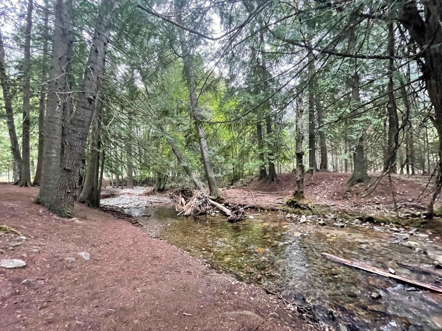
This popular trail is a mostly graded washboard and potholes and is generally wide enough for oncoming to pass. There are ample pullouts in the narrower sections. The trail twists and turns through dense forest and clear-cut logging sections, occasionally coming to lovely cliffside clearings with expansive views of the valley and tree-lined mountains above. It begins in a residential area, so please be aware of your speed, dust, and potential for children and families out playing near the road. There is a nice day-use area near the beginning and a small developed campground with a pit toilet just after the residential section. From there, the trail has a few small dispersed camping pullouts here and there, but most of them are close to or right on the main road. There is minimal cellular service here unless you detour to the top of Lunch Peak. Cell service is still spotty so download your maps ahead of time!
Photos of Trestle Creek Trail
Difficulty
Potholes and washboard, Some steep shelf road drop-offs, and a few large potholes. Two cars wide at the bottom narrows to one car with pullouts closer to the top.
Status Reports
Popular Trails

Rainey Creek- Mike Spencer Loop

Leaton Gulch Up and Over Grouse Mountain

Forest Service Rd 3320E West
The onX Offroad Difference
onX Offroad combines trail photos, descriptions, difficulty ratings, width restrictions, seasonality, and more in a user-friendly interface. Available on all devices, with offline access and full compatibility with CarPlay and Android Auto. Discover what you’re missing today!


