Townsend To Winston
Total Miles
68.4
Elevation
2,362.45 ft
Duration
6 Hours
Technical Rating
Best Time
Spring, Summer, Fall
Trail Overview
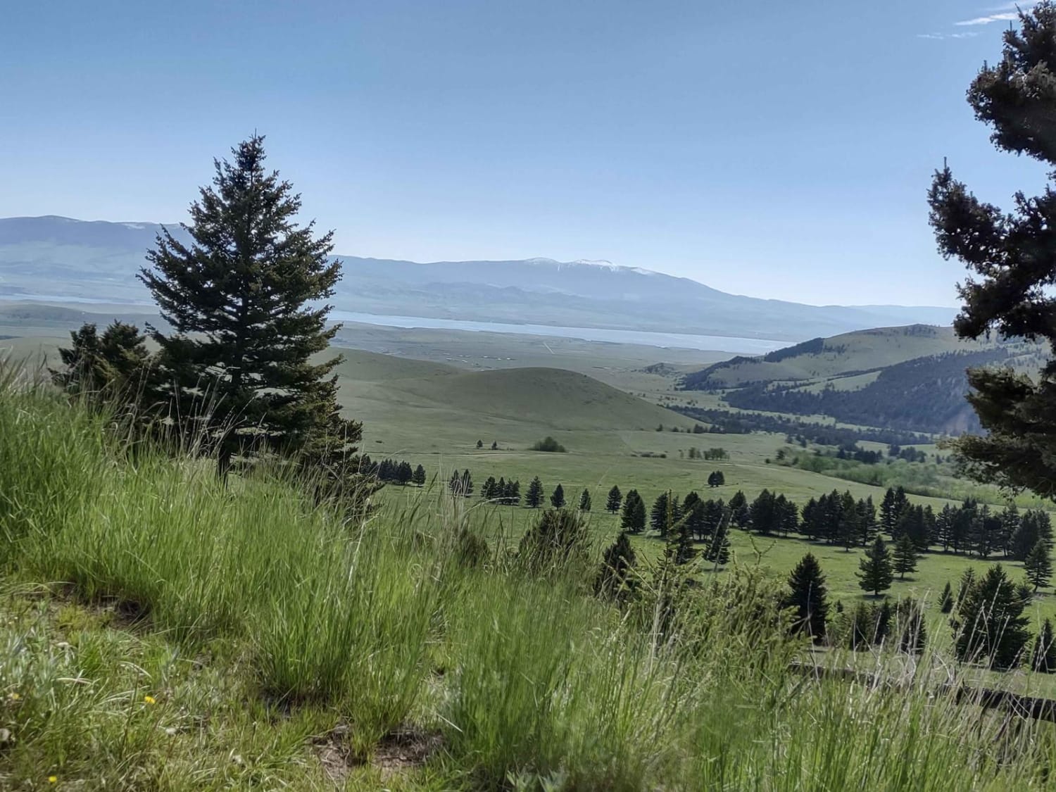
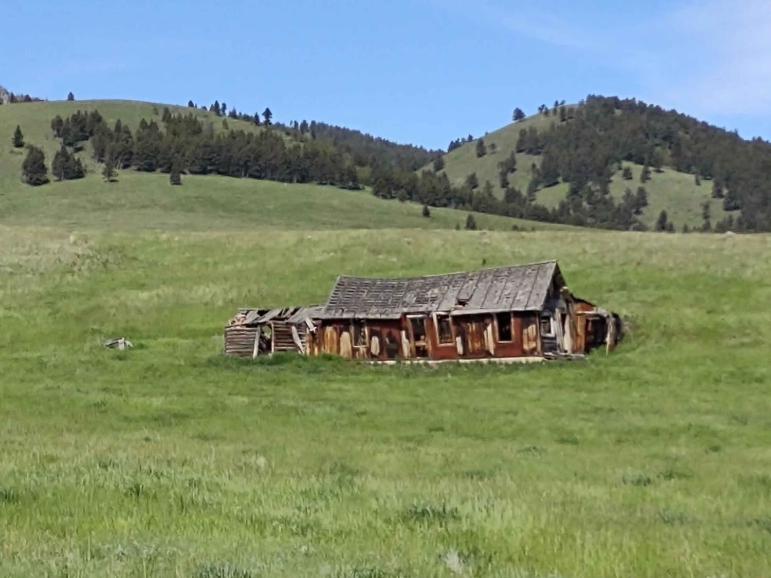
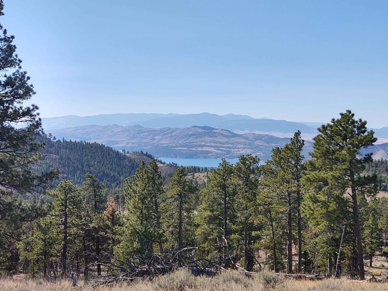
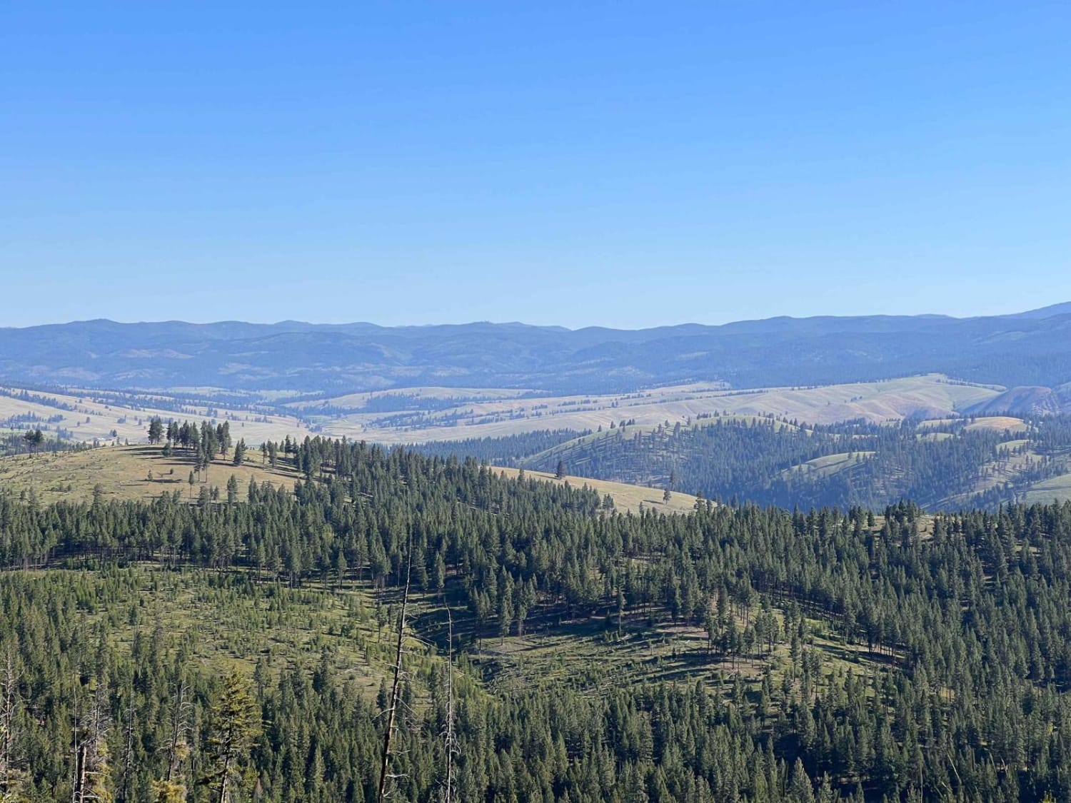
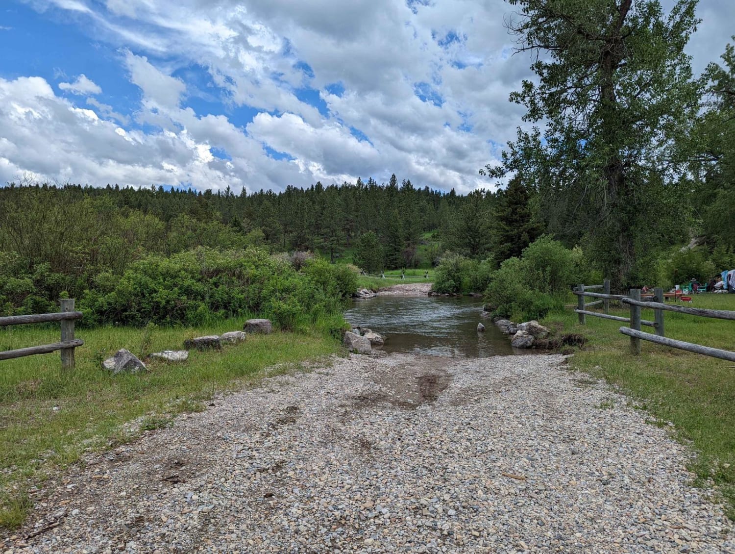
This 68-mile trail takes you from Old Woman's Grave Road just outside of Townsend, on a winding, twisting path through the National Forest, to Winston. You will travel across the National Guard Training grounds, up through Norris Gulch, and then use these Forest Service trails: the Ahlman trail, Hog Hollow, South Fork Crow Creek trail, Boomers, South Fork of Muddy Lake Loop, Jenkins Ridge, Weasel Creek, Merrel Springs, Merrel Spur, Indian Creek Road, and Weasel Creek Road, which is also Main Street in Winston. All private land that is crossed is allowed by the property owners as long as you stay on the trail. You go by at least 20 camping sites, so you might want to take your tent and your sleeping bag. This trail goes right by the Eagle Guard Cabin, which is available to rent from the Forest Service for an overnight stay. There are multiple places where you will cross or drive alongside mountain creeks and streams. The scenery is spectacular, the forest is healthy and well cared for, and the wildlife includes deer, elk, moose, and bear. Be sure to bring plenty of water and lunch or snacks. And don't forget your camera. Evidence of a hearty generation who came before us exists all along the trail. Old cabins, many still in excellent shape, tell a story of early settlers who called this area home.
Photos of Townsend To Winston
Difficulty
This trail will be muddy in the early spring, you may encounter snow, and it will be muddy after a heavy rain. Otherwise, it's an easy trail with beautiful scenery.
History
This section of the Helena National Forest is 115K acres. The Old Woman's Grave Road includes a memorial to Charity Jane Dillon, who lived in this area along the stagecoach route in the 1800s. One story reports Jane came west to find her fiance. When she arrived in this area, she found her fiance married to another and happy. With the strength of character rare on any day, Jane gave no hint of who the man was but went on to live an independent life, never marrying. She built a 4-room cabin and a public hall with a bar, and she kept an inn where travelers were welcomed and refreshed. It wasn't an overnight stop, but a place to get a meal and a drink. She was kind to everyone, earning her the nickname Charity. The many settlers' cabins that still stand in this area are a testament to the sturdy, resilient people who came west in the 1800s. Canyon Ferry Lake is a man-made reservoir, built to generate electricity, provide irrigation, and help control flooding. It is Montana's third-largest body of water. The original ferry hauled the stagecoach and residents across the river. The toll was 25 cents for a horse, and 50 cents for a team. The ferry was anchored by cables that were strung across the Missouri River. A dam was built in 1896 by the Missouri River Power Company, which made the river below the dam too rough for the ferry, so it was abandoned. Canyon Ferry residents then had to cross the river upstream in rowboats until the first county bridge was built in 1899.
Status Reports
Popular Trails
Second Creek 283 - East Fork Johnson 7882
The onX Offroad Difference
onX Offroad combines trail photos, descriptions, difficulty ratings, width restrictions, seasonality, and more in a user-friendly interface. Available on all devices, with offline access and full compatibility with CarPlay and Android Auto. Discover what you’re missing today!
