Stonehouse Trail
Total Miles
3.7
Technical Rating
Best Time
Spring, Summer, Fall, Winter
Trail Type
High-Clearance 4x4 Trail
Accessible By
Trail Overview
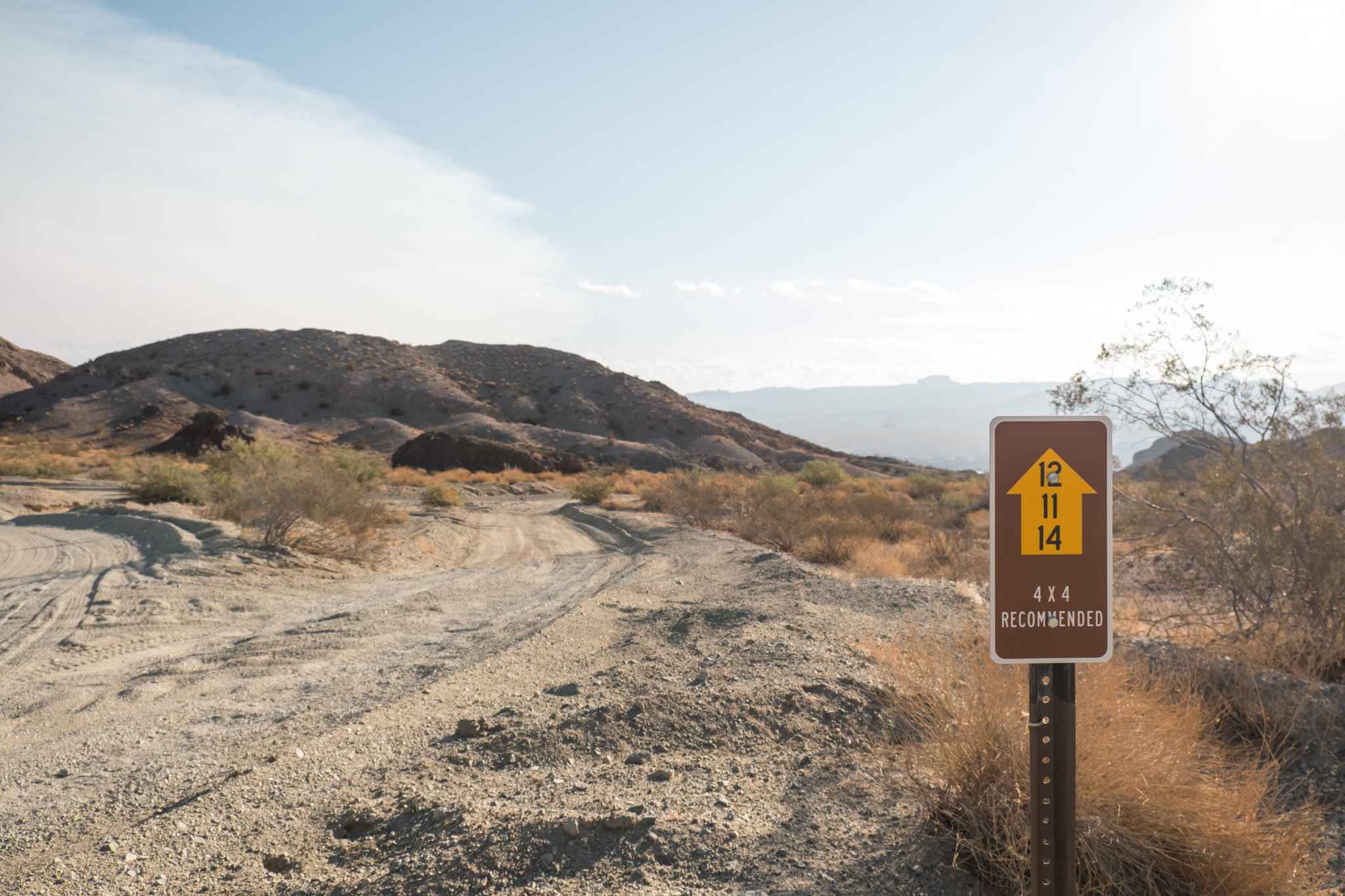
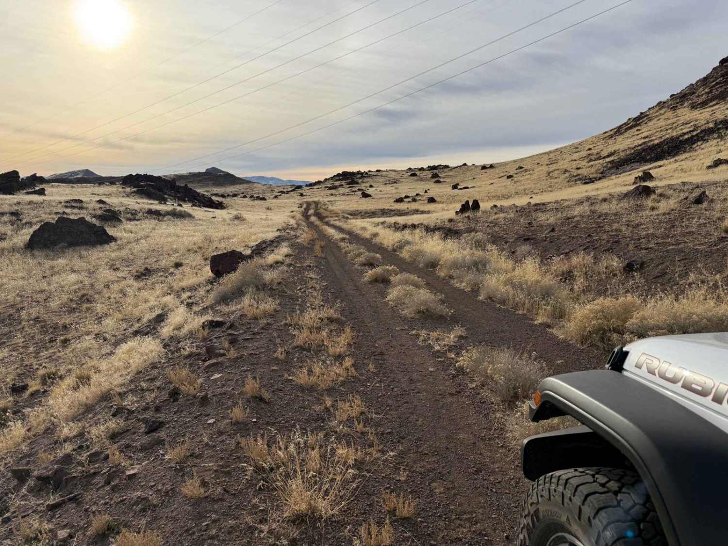
The Stonehouse Trail is a single-wide dirt road that winds through desert hills in the Lake Mead National Recreation Area and passes by an old stone house ruin. The road is not technical but has some pretty sandy sections and a couple of rutted areas that require a 4WD with high clearance. The road is plenty wide for a single vehicle with a few spots for vehicles to pass. Passing in the narrow sections may result in driving into the soft desert sand. Inclines rise to mildly blind drops. The drops are gentle grades, but be cautious for drivers coming from the opposite direction. A couple of low sections wind through canyons with rocky walls on either side. It's not narrow enough to be a slot canyon but makes for some fun scenery and an interesting drive. It's a short trail but worth it for the variety of terrain and views. From this trail, you can access a spur called Red Hill Road which leads to a cove on Lake Mead. The Stonehouse Trail can be accessed from Davis Dam Road on the south side or Nevada Telephone Cove Road on the north side.
Photos of Stonehouse Trail
Difficulty
This trail varies in difficulty. Much of it is easy 4WD driving, but there are a few sections that are very sandy with a couple rutted sections. If you ride from north to south, it's a mostly downhill grade that can be to your advantage in the sandy sections.
History
An old stone house ruin on the side of this trail gives it its name.
Status Reports
Popular Trails
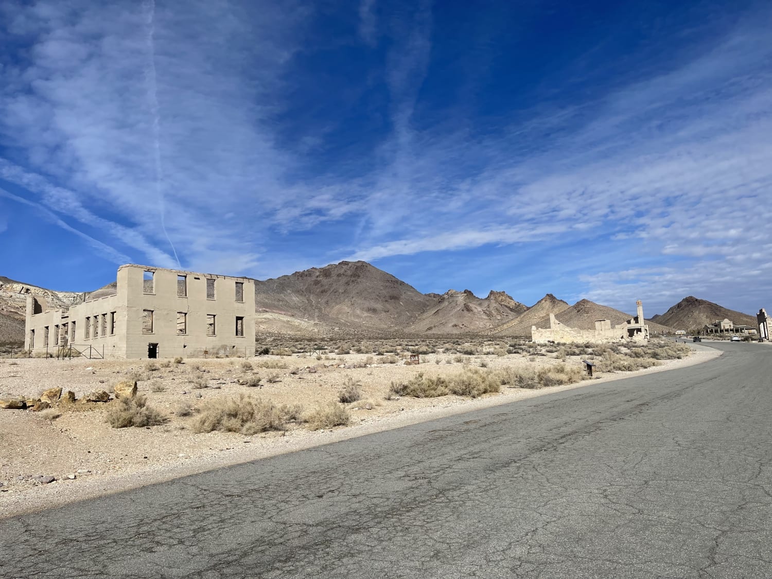
Rainbow Mountain Road
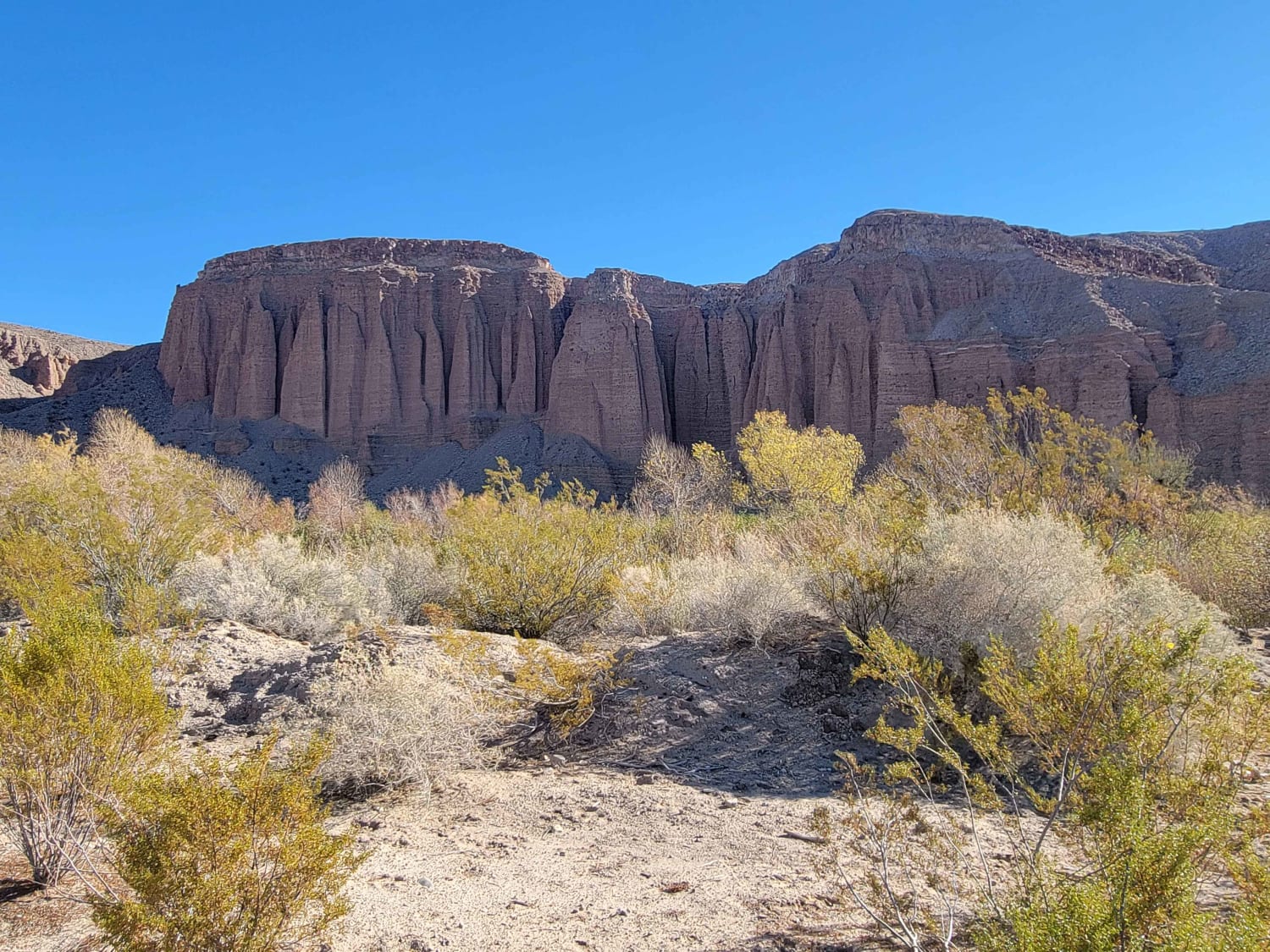
Mormon Canyon
Dodge-Ford Mine
The onX Offroad Difference
onX Offroad combines trail photos, descriptions, difficulty ratings, width restrictions, seasonality, and more in a user-friendly interface. Available on all devices, with offline access and full compatibility with CarPlay and Android Auto. Discover what you’re missing today!
