Tipton to South Fork
Total Miles
51.7
Technical Rating
Best Time
Spring, Summer, Fall, Winter
Trail Type
Full-Width Road
Accessible By
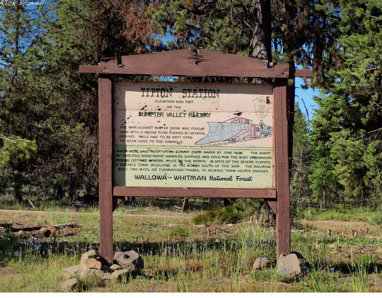
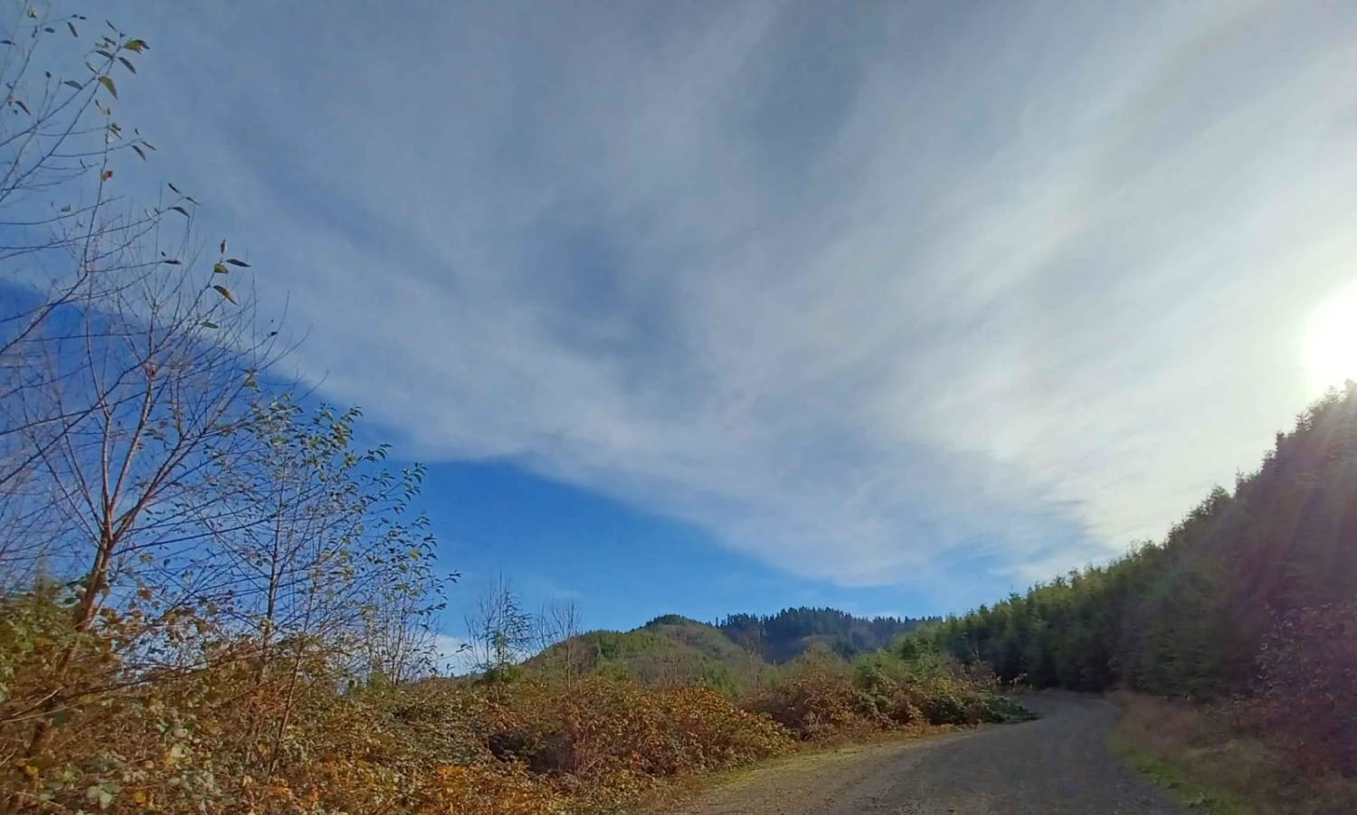
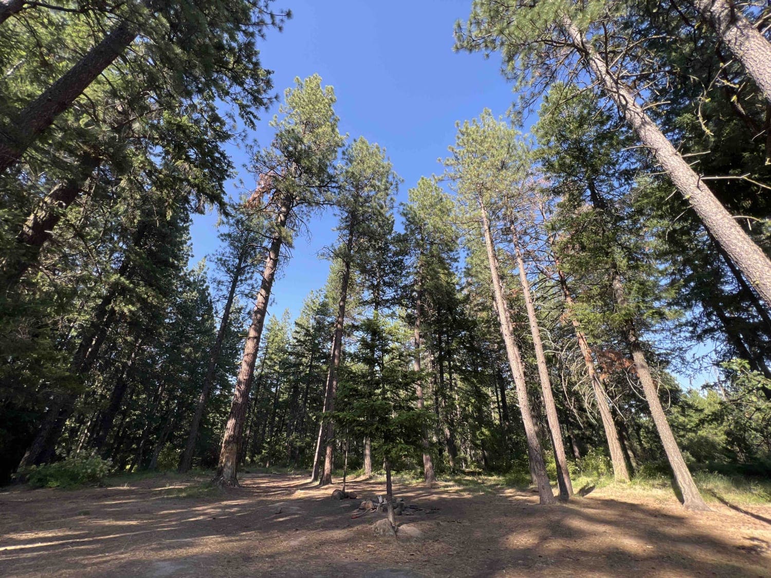
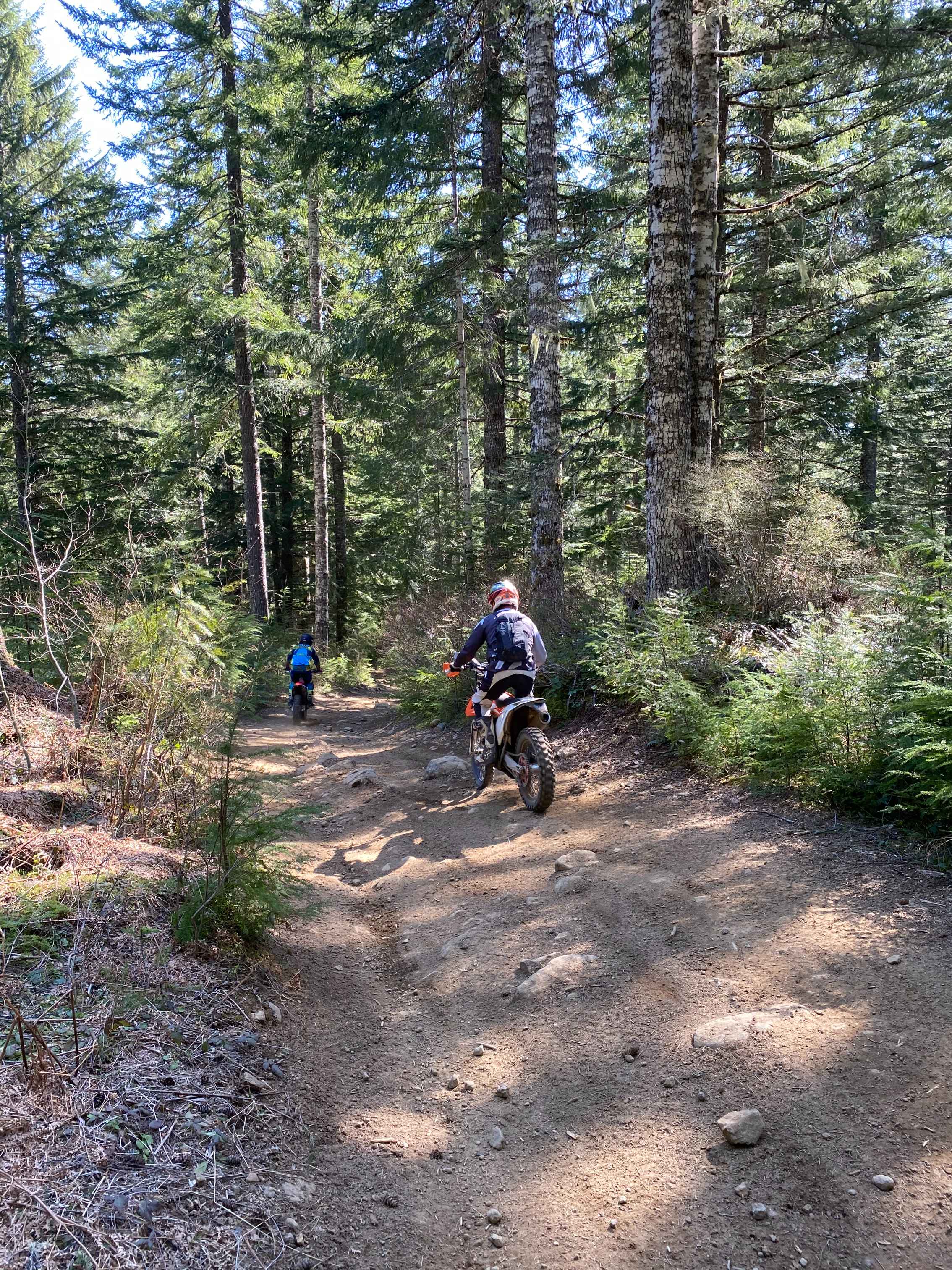
Trail Overview
This trail follows along established Forest Service roads. It is accessible to SXS, ATV, snowmobile, and all types of off-road vehicles. The trip includes views into Burnt River Valley and John Day Basin. Mountains surrounding include the Blue Mountains, Strawberry Mountains, and Elk Horns. The riding is near Monument Rock Wildness and Table Rock Lookout.
Photos of Tipton to South Fork

Difficulty
Some areas include unmaintained roads and recent forest fire with possible tree hazards and washouts.
Status Reports

Popular Trails

Painted Cove Nature Trail Access
Rock Creek - 4811
Trail 20 - Hoodraiser
The onX Offroad Difference
onX Offroad combines trail photos, descriptions, difficulty ratings, width restrictions, seasonality, and more in a user-friendly interface. Available on all devices, with offline access and full compatibility with CarPlay and Android Auto. Discover what you’re missing today!