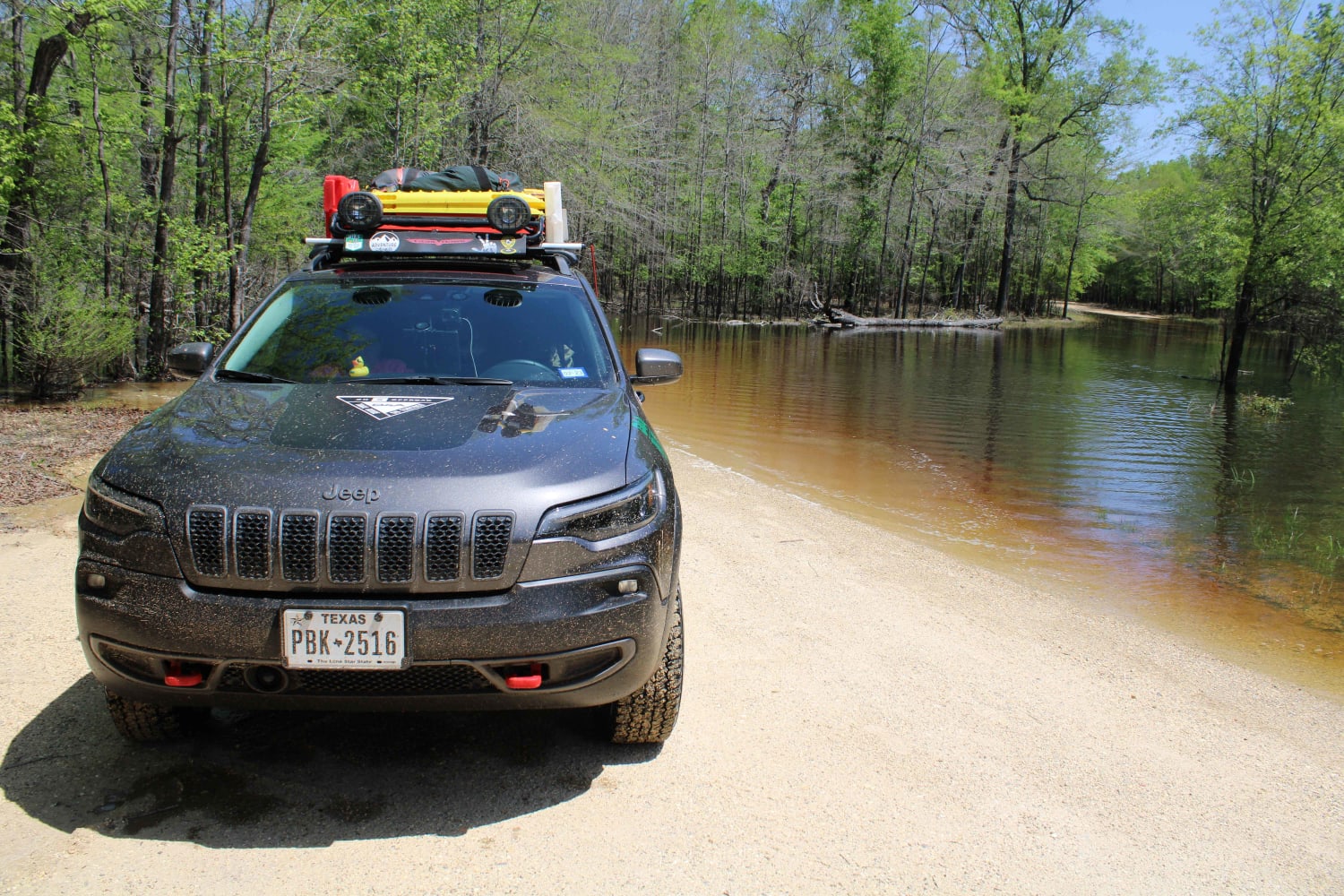
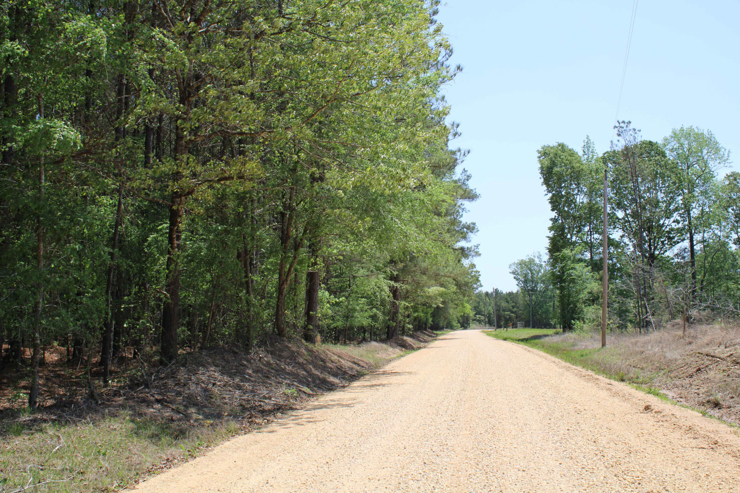
The Arkansas Overland Route - TrailHawk Loop - Section 17
Total Miles
4.6
Elevation
33.20 ft
Duration
--
Technical Rating
Best Time
Spring, Summer, Fall, Winter
Trail Overview
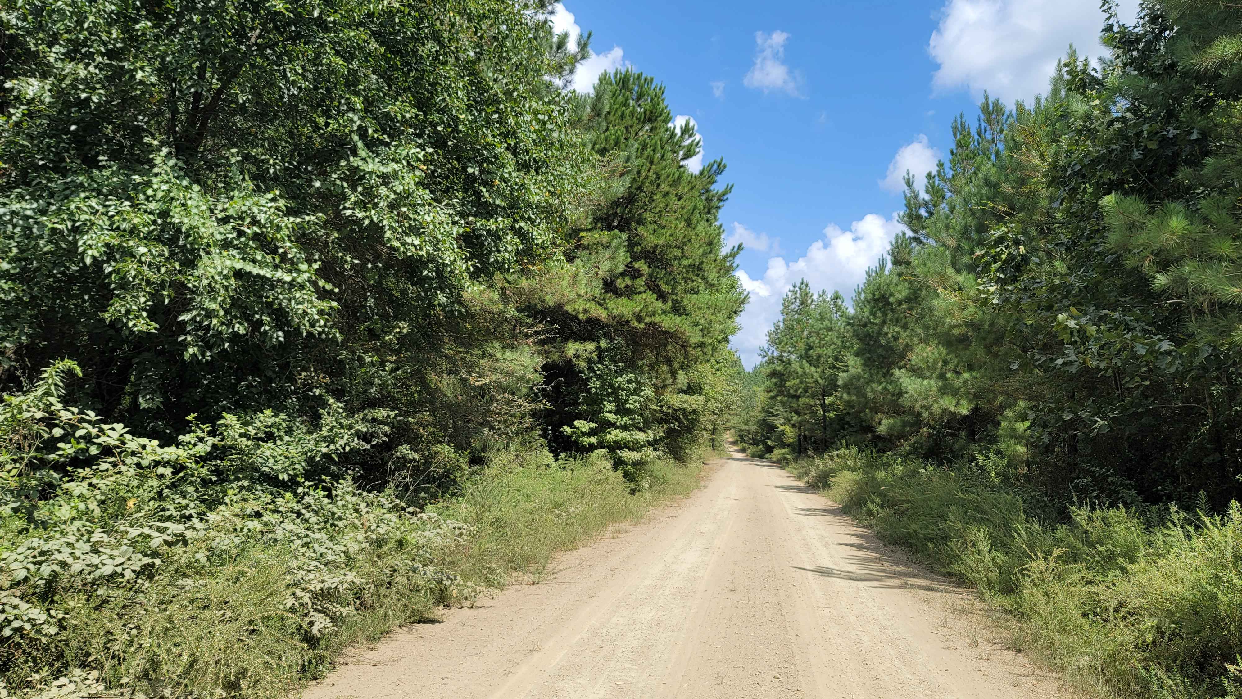
Gravel roads that can be muddy and slick when wet. Roads can become flooded and not passable during and after rains. This goes to a lake and camping area. There is a section known to hold water -depths can vary. Travel with caution in the flooded areas. Watch for wildlife as you travel the route.
Photos of The Arkansas Overland Route - TrailHawk Loop - Section 17
Difficulty
Dirt and gravel that can be nasty when wet. Some flooding of roads can be present
Status Reports
Popular Trails
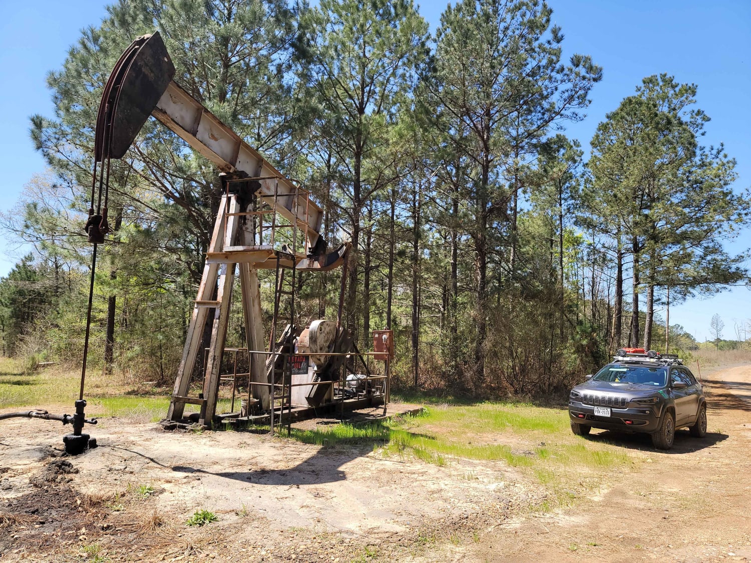
The Arkansas Overland Route - Section 3 - Road 113 to Highway 76
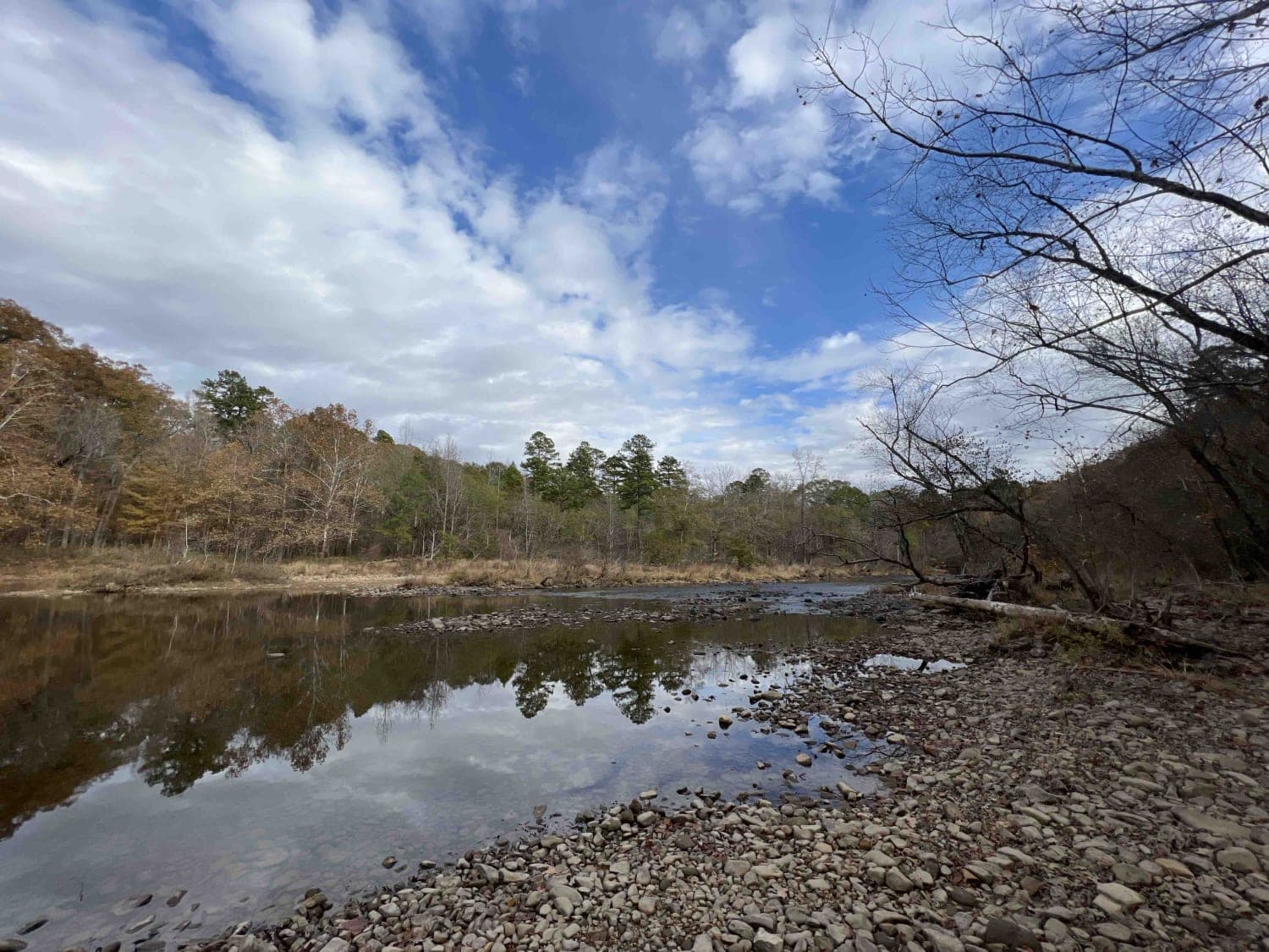
Long Caney 849 to South Fourche LaFave River
Lake Sylvia to Winona Lake and HWY9
Cut Across to Gillham Road
The onX Offroad Difference
onX Offroad combines trail photos, descriptions, difficulty ratings, width restrictions, seasonality, and more in a user-friendly interface. Available on all devices, with offline access and full compatibility with CarPlay and Android Auto. Discover what you’re missing today!
