The Dalton Highway
Total Miles
517.7
Elevation
1,453.84 ft
Duration
25 Hours
Technical Rating
Best Time
Summer
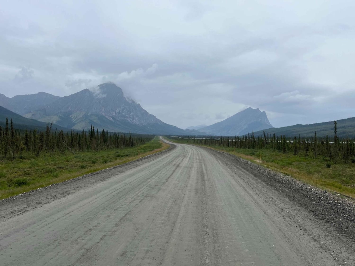
Trail Overview
This is a 414-mile dirt, gravel, and pavement mixed road leading to the beginning of the Alaska pipeline in Prudhoe Bay, Alaska. The Dalton Highway follows the Alaska Pipeline through the rugged Alaska wilderness that includes varying difficult road conditions, spectacular wildlife, and views. Drivers must be ready for a grueling adventure that will push even the very best drivers and their rigs to the limit. PLEASE NOTE - this area prohibits offroad travel on 5 miles on either side of the highway. For more info visit https://www.blm.gov/visit/dalton-highway#:~:text=Note%20that%20Alaska%20State%20statutes,north%20of%20the%20Yukon%20River
Photos of The Dalton Highway

Difficulty
This is a combination of dirt, gravel, and poorly-maintained paved roads that will put even the most equipped vehicles to the test. At least one full-size spare tire is needed to safely complete this trip and it is recommended to carry two full-size spares.
History
The Dalton Highway was finished in 1974 to help build and maintain the Alaska Pipeline. This road is still used today to support oil drilling operations in Prudhoe Bay, Alaska.
Status Reports
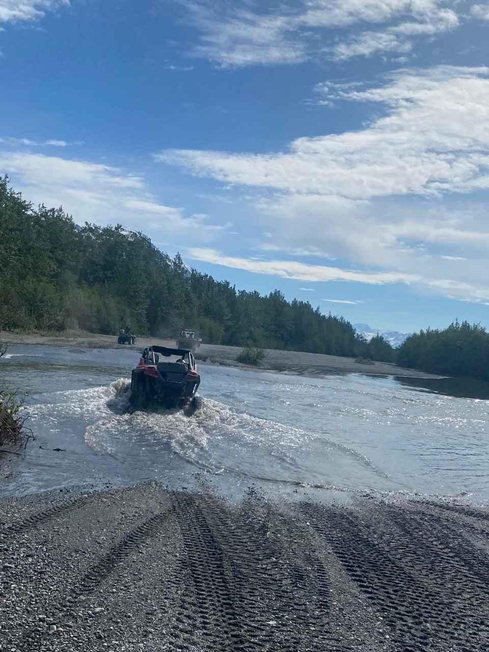
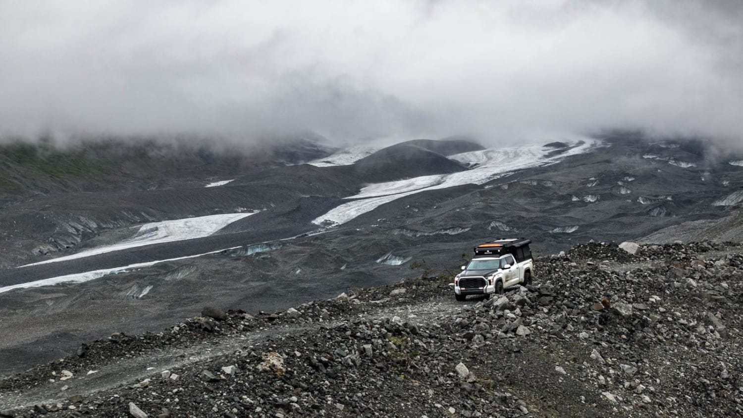
Popular Trails
The Dalton Highway
Knik Glacier
Purchase Creek
The onX Offroad Difference
onX Offroad combines trail photos, descriptions, difficulty ratings, width restrictions, seasonality, and more in a user-friendly interface. Available on all devices, with offline access and full compatibility with CarPlay and Android Auto. Discover what you’re missing today!