Cameron Gulch
Total Miles
1.6
Technical Rating
Best Time
Summer
Trail Type
Single Track
Accessible By
Trail Overview
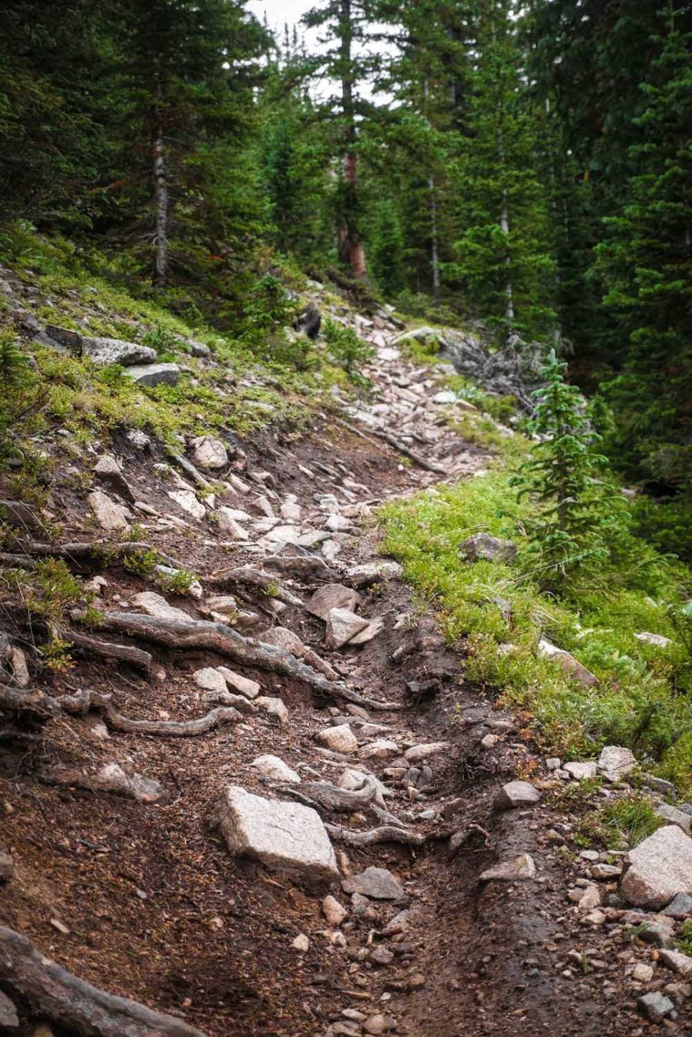
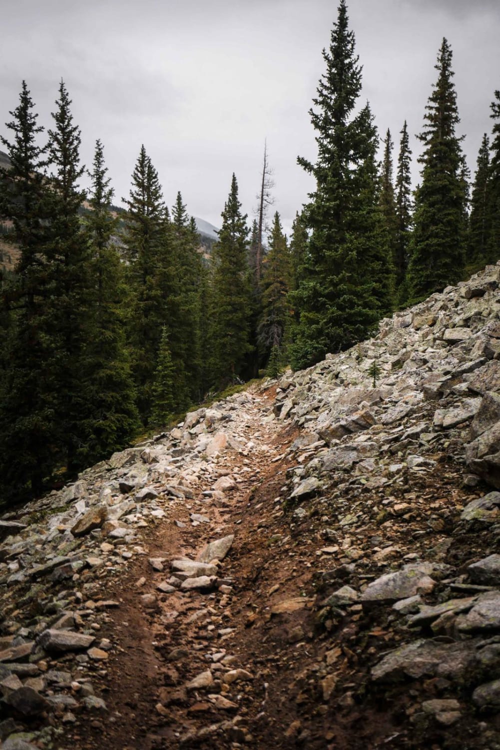
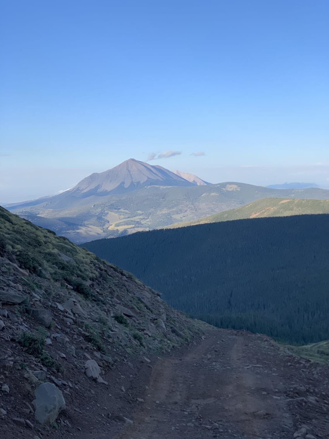
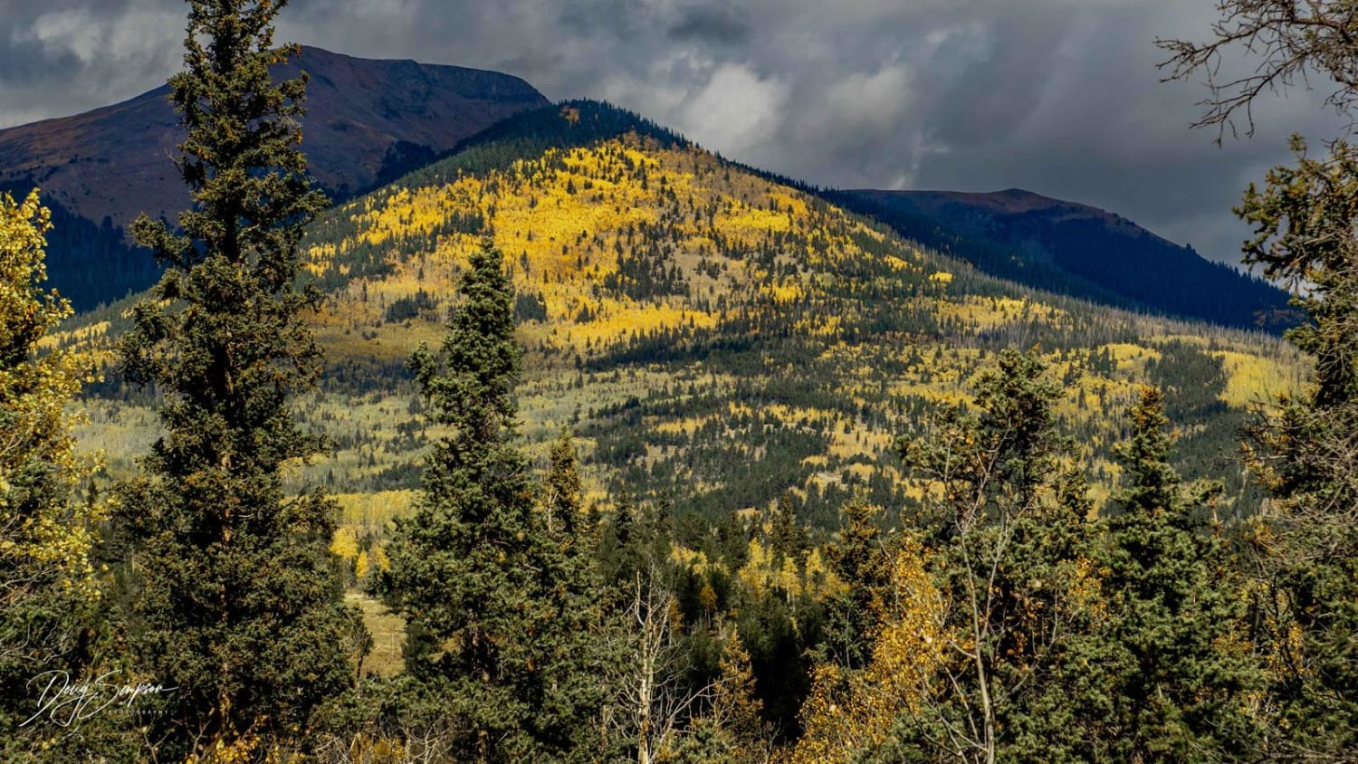
Cameron Gulch is a very rocky single track between Pitkin and Taylor Park in the Gunnison National Forest. It is full of really steep climbs that are full of roots and rocks. The trail is uphill the whole way if riding north to south, gaining 1,000 feet in 1.7 miles. There are cinder blocks built into the trail to help prevent erosion and get traction since sections are so steep. This trail would be particularly difficult when wet. There are big sharp boulders in the trail and roots across the trail. A couple spots on the trail are very narrow and shelfy as the trail side-hills across the side of a mountain, creating some exposure risk. Overall it's a fun and challenging trail in a scenic area. It goes through a pine tree forest and is accessed from the north through a very rocky jeep road (Cameron Creek Road). The south end intersects with Gold Creek.
Photos of Cameron Gulch
Difficulty
Intermediate single track trail that is full of rocks and roots and very steep sections.
Status Reports

Popular Trails
Lookout Tower & Views-USFS Rd #651A
Buffalo Peaks Road #2 - 431
The onX Offroad Difference
onX Offroad combines trail photos, descriptions, difficulty ratings, width restrictions, seasonality, and more in a user-friendly interface. Available on all devices, with offline access and full compatibility with CarPlay and Android Auto. Discover what you’re missing today!