Murphy Guard Station Loop
Total Miles
9.0
Technical Rating
Best Time
Spring, Summer, Fall
Trail Type
Full-Width Road
Accessible By
Trail Overview
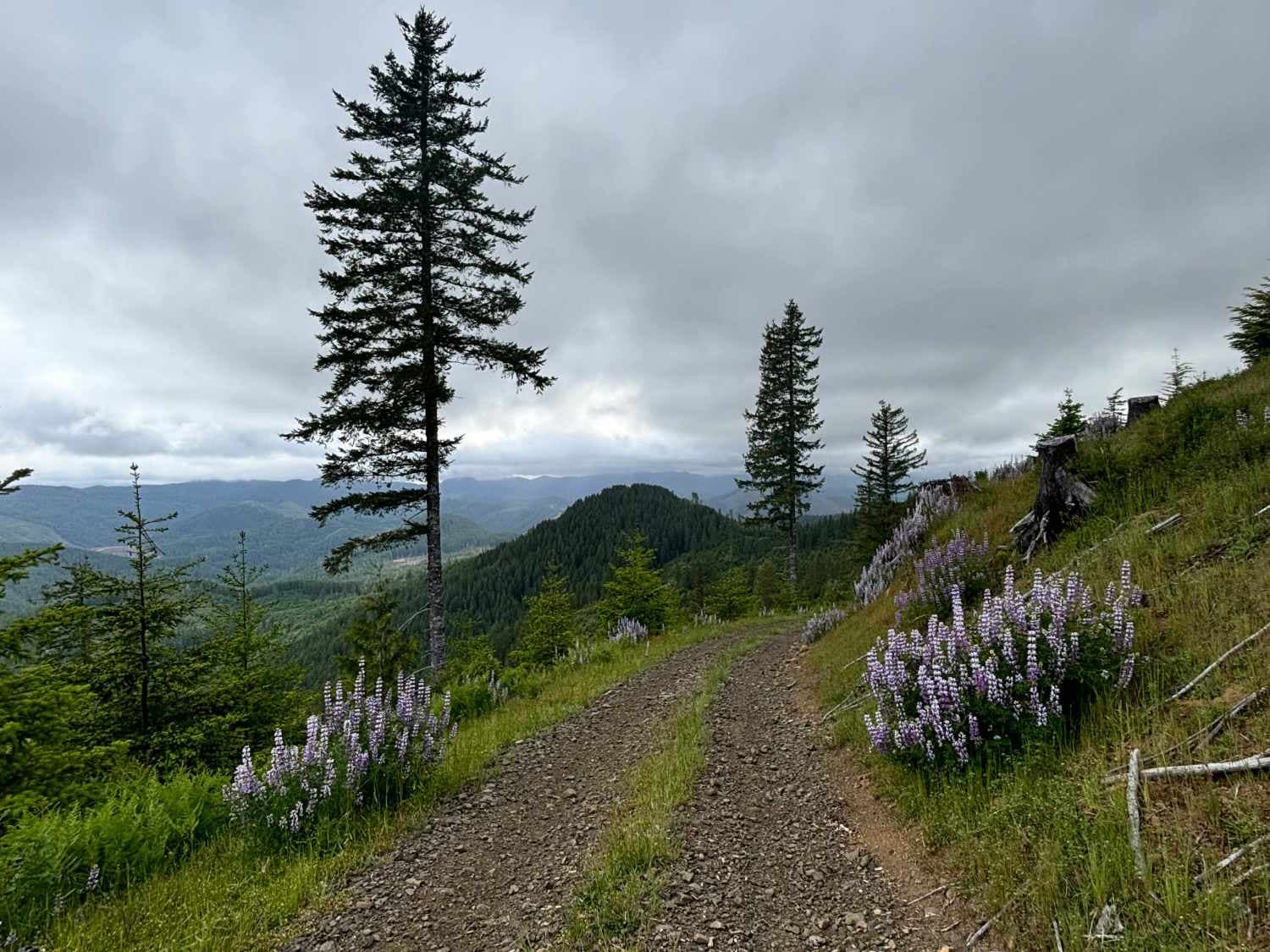
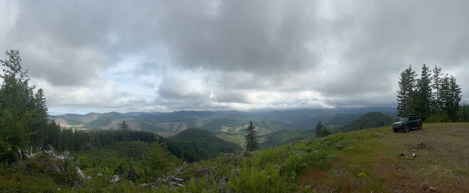
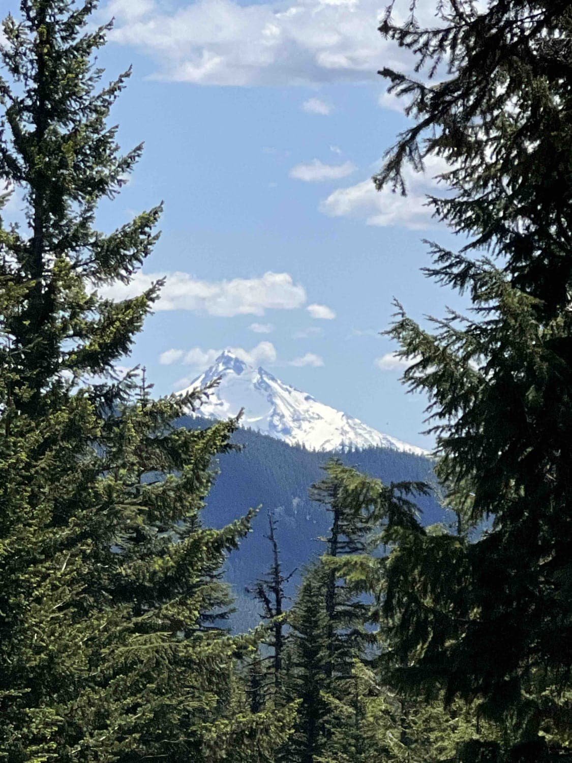
The route consists of basic logging roads similar to much of the Tillamook State Forest area. There is a modest climb to the viewpoint at approximately 2,500 feet. The viewpoint overlooks the valley of the East Fork/South Fork Trask River area. From the west, the upper route consists of Steamboat Road and Old Toll Road. The lower route consists of Murphy Camp Road.
Photos of Murphy Guard Station Loop
Difficulty
The route consists of basic gravel logging roads similar to much of the Tillamook State Forest area. It should be accessible by most vehicles.
History
Information about the Forest Guard Stations is limited but they appear to have been used as housing for work crews and Forest Service workers in the early part of the 20th century. While the Murphy Guard Station no longer exists, there are Guard Stations around Oregon that still operate today, except nowadays they are available for rent to visitors. OnX Offroad shows the location of the former Murphy Guard Station but the assumption is that the Guard Station was actually located at the highest point on the Guided Trail. Given that this information could be 100 years old, it's understandable there might be some discrepancy.
Status Reports
Popular Trails
Cloverdale FD to 3 Creeks Butte
Oak Grove/Timothy Lake
Grove Creek Road
The onX Offroad Difference
onX Offroad combines trail photos, descriptions, difficulty ratings, width restrictions, seasonality, and more in a user-friendly interface. Available on all devices, with offline access and full compatibility with CarPlay and Android Auto. Discover what you’re missing today!
